This interview was published by Ride with GPS in January 2024
Photos by Daniel Zaid, Karla Robles, and Adam Gaubert
Sarah Swallow on adventure route creation, experiential storytelling, and the development of Ruta del Jefe 2024.
Sarah Swallow's Ruta del Jefe is a long weekend blending adventure cycling, advocacy, education, and community in the borderlands spanning southeast Arizona and the Mexican state of Sonora. The first multinational edition kicks off March 21-24, 2024 in Cuenca Los Ojos, Mexico. Ruta del Jefe was initially created and hosted by Sarah on the Appleton-Whittell research ranch in Elgin, AZ through 2022, after which Sarah was invited to develop an installment of the event on the Cuenca Los Ojos preserve in Sonora, Mexico.
Sarah tapped Karla Robles and Daniel Zaid of Andarres.com to co-organize the first binational Ruta del Jefe event in Mexico for 2024. Sarah, Karla, and Daniel spent over thirty days on the preserve scouting, planning, and laying out the landscape for the event. We caught up with Sarah to gain some insight into the vision and process of developing the 2024 Cuenca Los Ojos edition of Ruta del Jefe.
Q: What is your approach to route development for the Cuenca Los Ojos edition of Ruta del Jefe? For you, are there key ingredients or must-haves that go into creating compelling adventure routes like this?
When developing routes for Ruta del Jefe at Cuenca Los Ojos, I look for routes that tell a story. Oftentimes, that means it's a circumnavigation (a loop) of a particular area where you start in one place, experience many different landscapes in between, and return to where you started, seeing something new unfold around every corner. I look for fun, challenging, rewarding, and engaging terrain that offers respite after prolonged strenuous efforts. I enjoy making remote and intimate routes with the surrounding landscape, a hybrid between a road and a trail. Old railroad grades or roads designed with a Ford 150 in mind (like the roads at Cuenca Los Ojos) tend to be designed at grades that are more appropriate for bicycles. Roads designed for 4-wheelers, ATVs, and 4x4 Vehicles tend to use grades that are possible by bicycle but less suitable and enjoyable.
Q: Do you begin with specific ideas, locations or geography you want to showcase or do you let the landscapes/regions reveal themselves organically?
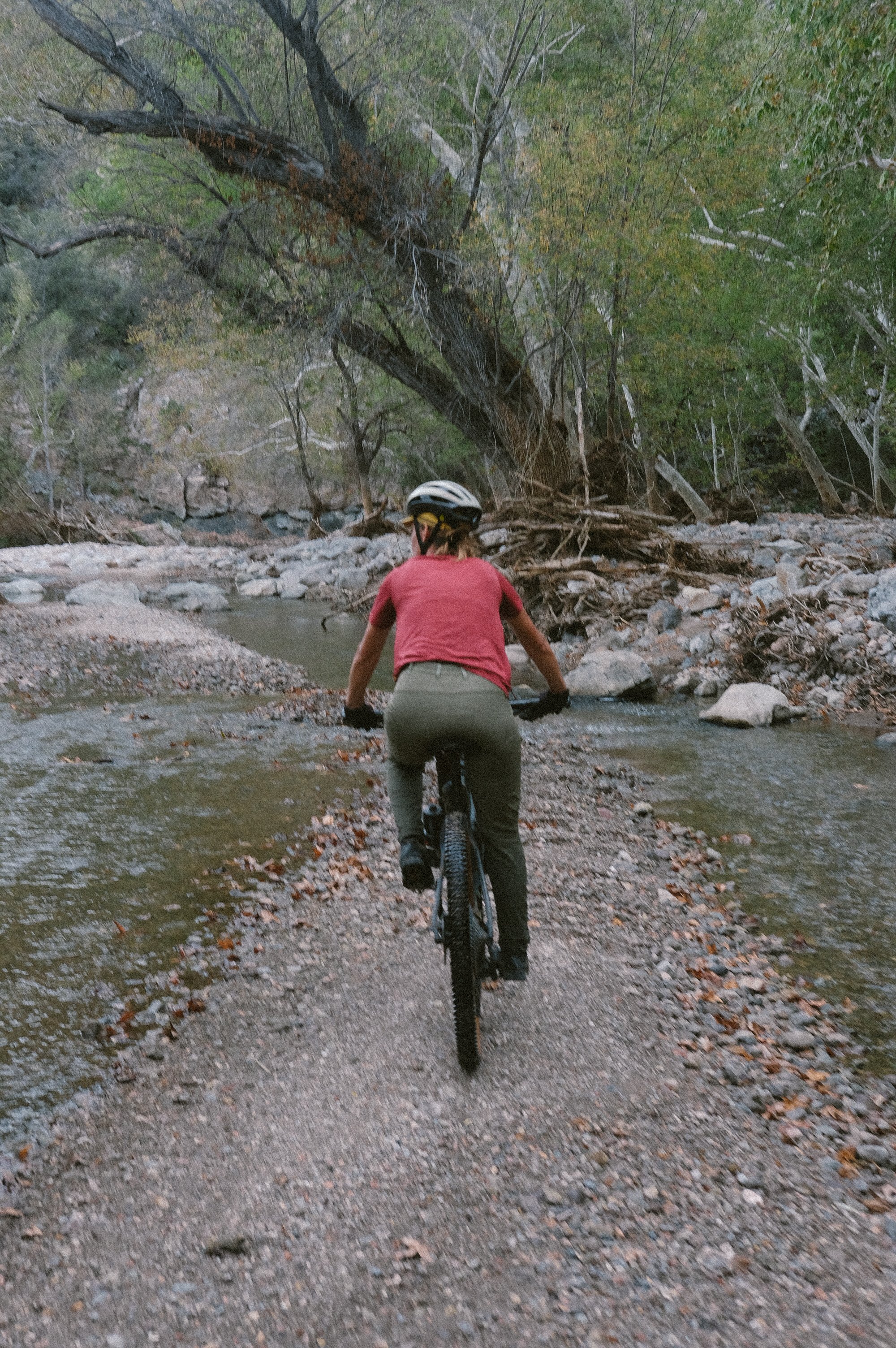
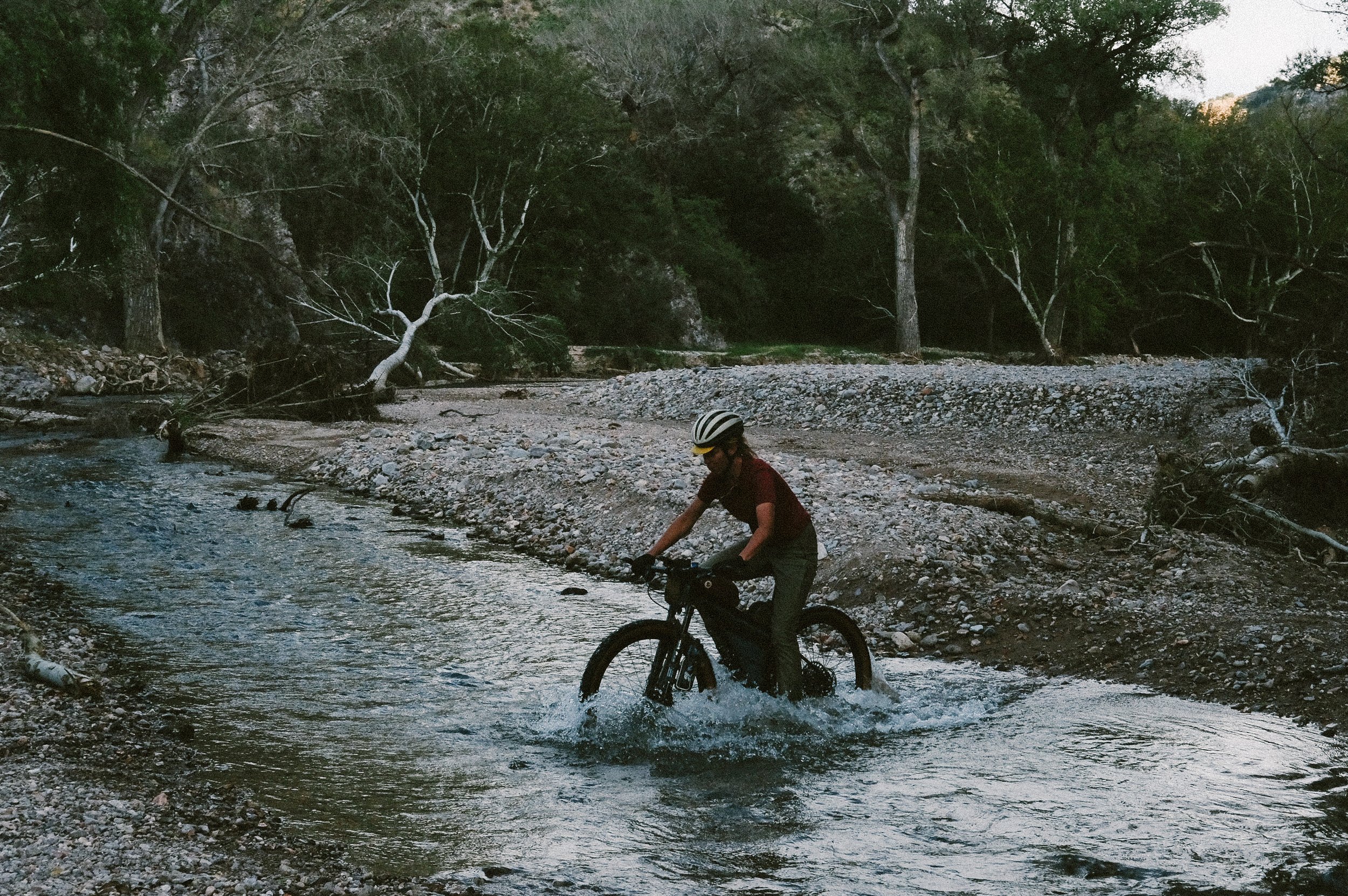
I let the region steer the route. Without ever being to a location where I am designing a route, I try to find the most prominent and established routes to ride first to get the lay of the land before I delve deeper into less-traveled areas. By starting with the most established route I can find, I get a feel for the landscape characteristics and the ones I want to highlight. For instance, at Cuenca Los Ojos, there are high plateaus of grasslands with double track rolling along ridgelines offering incredible 360-degree views. Rocky and sandy roads within deep canyons cross rivers and creeks. There are hoodoo volcanic rock structures that jut out of the hills, areas where thousands of yuccas bloom, and extensive wetland valleys. When designing a route, I encompass as many of these features as possible within a loop. In addition, by getting a feel for the land in person, I more easily understand which roads are only enjoyable in one direction. In person, I can adjust initial route drafts so we are not riding up a road we should only be going down.
Q: What does it look like to scout deep backcountry courses like the Ruta del Jefe? Do you plan everything like detailed POI and water sources beforehand, then pre-ride to make sure it all checks out or do you let the specifics come together during recon phase?
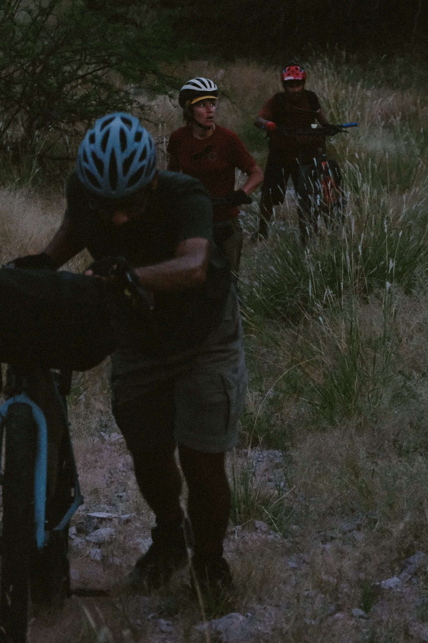
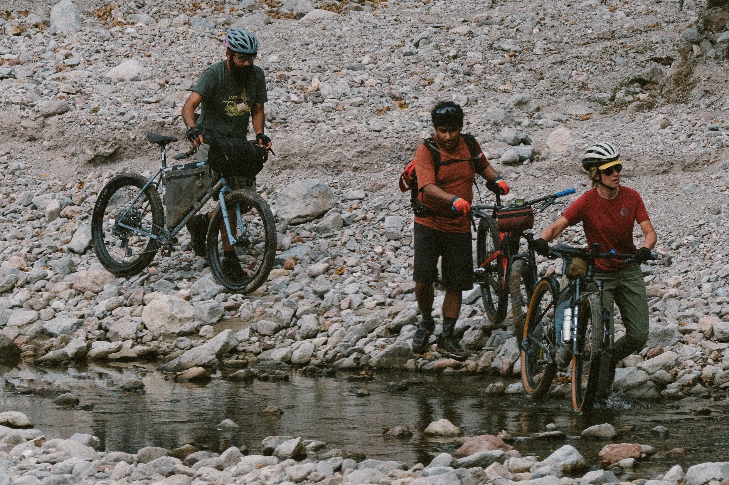
Before my first scouting mission at Cuenca Los Ojos for Ruta del Jefe, I went in with a specific plan of routes I had drafted that I wanted to try. The first route we attempted to scout had us hike-a-biking over a steep, rutted, and overgrown pass for over 1,000 ft in 2 hours. We had to turn back at that point, throw my entire plan out, and start from scratch. That’s when I decided to follow the most straightforward route I knew to get the lay of the land. In the case of Cuenca Los Ojos, the terrain was so challenging, steep, and overgrown on that first trip that we had to scale our expectations for mileage down dramatically. Routes that were only 23 miles would take us an entire day due to how rough, steep, and overgrown the roads were.
Whenever I am riding any route, I constantly watch for other possible roads to explore. Once I am in the location and have a better feel for the region and the landscape, more roads inevitably reveal themselves on the satellite maps than I could see before when planning routes from home. I also relied heavily on the intel from CLO staff to inform me if there were roads where I thought there were roads. In most cases, they told me there were roads; however, they had not traveled them in some time. Each monsoon season erodes the roads, and they become very overgrown, so even if they say there was a road there at some point, it may not be that enjoyable to ride. Because we were also advising CLO on which roads to improve for the event, we had to figure out which roads were worth investing in by riding, pushing, and hiking for sometimes up to 5 miles at a time through tall grass or a washed-out river bed.
For scouting at CLO, I did not use POIs for water or other services. I wasn’t sure if or how much water there would be, and the area is so remote that there are no other services other than the ranchos throughout the property. When we scouted the routes initially, we just ensured we carried enough water and food for an entire day and brought a water filter in case we found water. As it turned out, Cuenca Los Ojos, through their restoration of the watershed, has a lot of groundwater for a desert landscape, but this still can change from year to year. Now that I know the landscape and routes well, I add POIs to mark as a reference where riders can seek support from the ranchos within CLO and access groundwater for filtering.
Q: What maps, tools, utilities, or other resources do you use when researching and assembling your routes?
For Cuenca Los Ojos and Ruta del Jefe, I primarily relied on satellite and topo maps, GPS, and POI coordinates the CLO provided me to show their properties' perimeters, roads, and where their ranchos were. To view this in one place, I uploaded all those coordinates to Gaia GPS and referenced that as I mapped out various routes to try on Ride with GPS. As I mentioned before, even though the satellite map showed very clear and established roads, that was not the case when we visited during our first scouting mission in October 2022, after a record-breaking year of monsoons. Most of the roads were destroyed and completely overgrown. So even when a satellite shows a road, you don’t know what condition it will be in until you get the wheels on the ground.
Q: What is it about riding in the Sonoran and Chihuahuan desert that makes it special? What are some of the challenges you've encountered putting together DIY adventure rides in multinational borderlands?
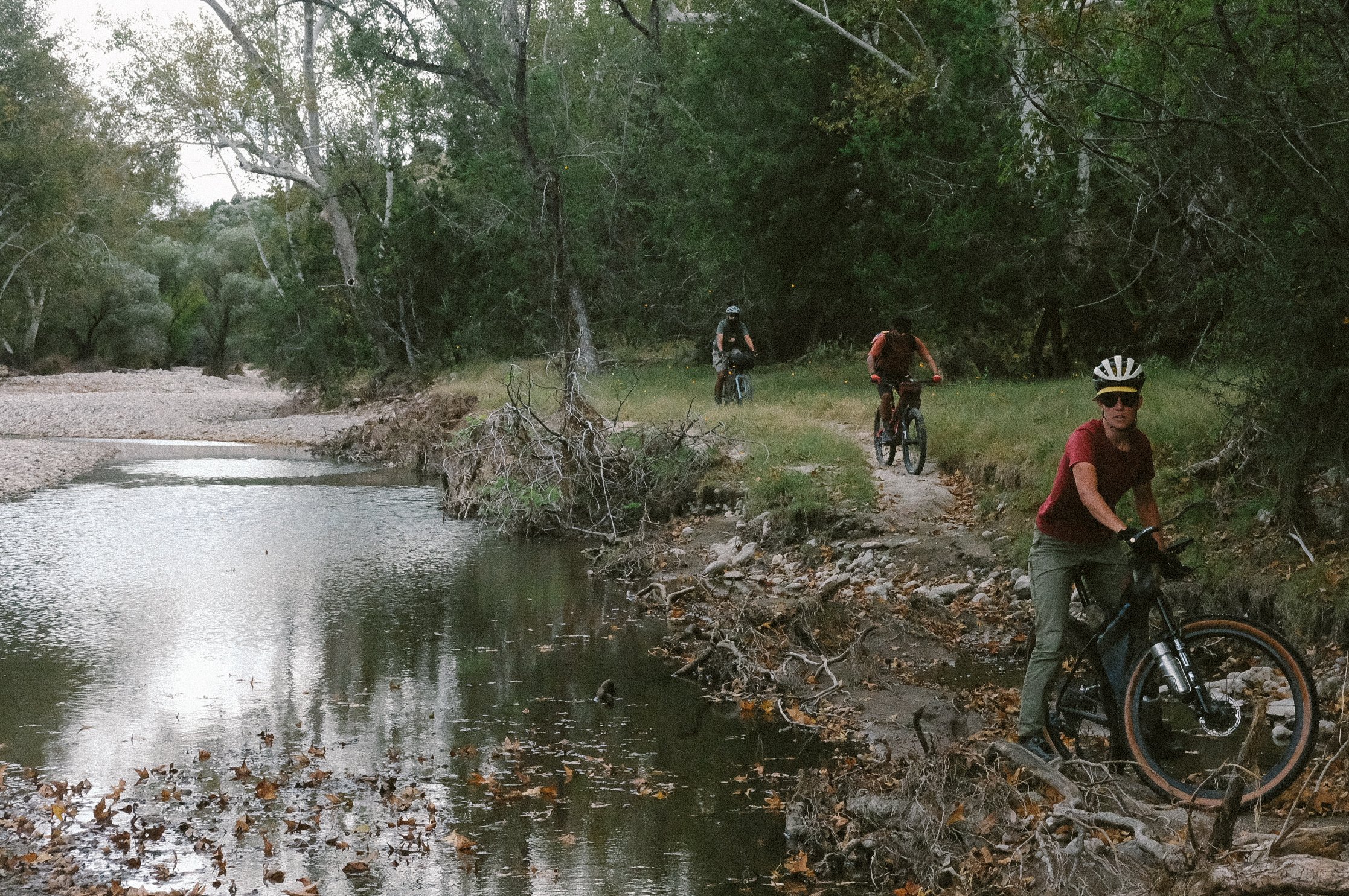
What is unique about this borderland region is the amount of biodiversity in such a small area. What causes this biodiversity is the convergence of the Sierra Madre Occidental with the Chihuahua and Sonoran Deserts and the Rocky Mountains. Flora and fauna from all these environments extend to these borderlands, which creates enormous amounts of biodiversity. For instance, black bears exist in the same place that jaguars roam; rattlesnakes and Gila monsters cohabitate in the same areas as beavers. This region is known as the northernmost habitat of the elegant trogon, a bird migrating from the depths of the Amazon, as well as a Red-Tailed Hawk. Cottonwood and birch trees grow near juniper trees and other conifers, which grow near prickly pear, ocotillo, and yucca species. The draw of riding a bicycle here is the landscape and wildlife diversity one can experience in only 30-miles.
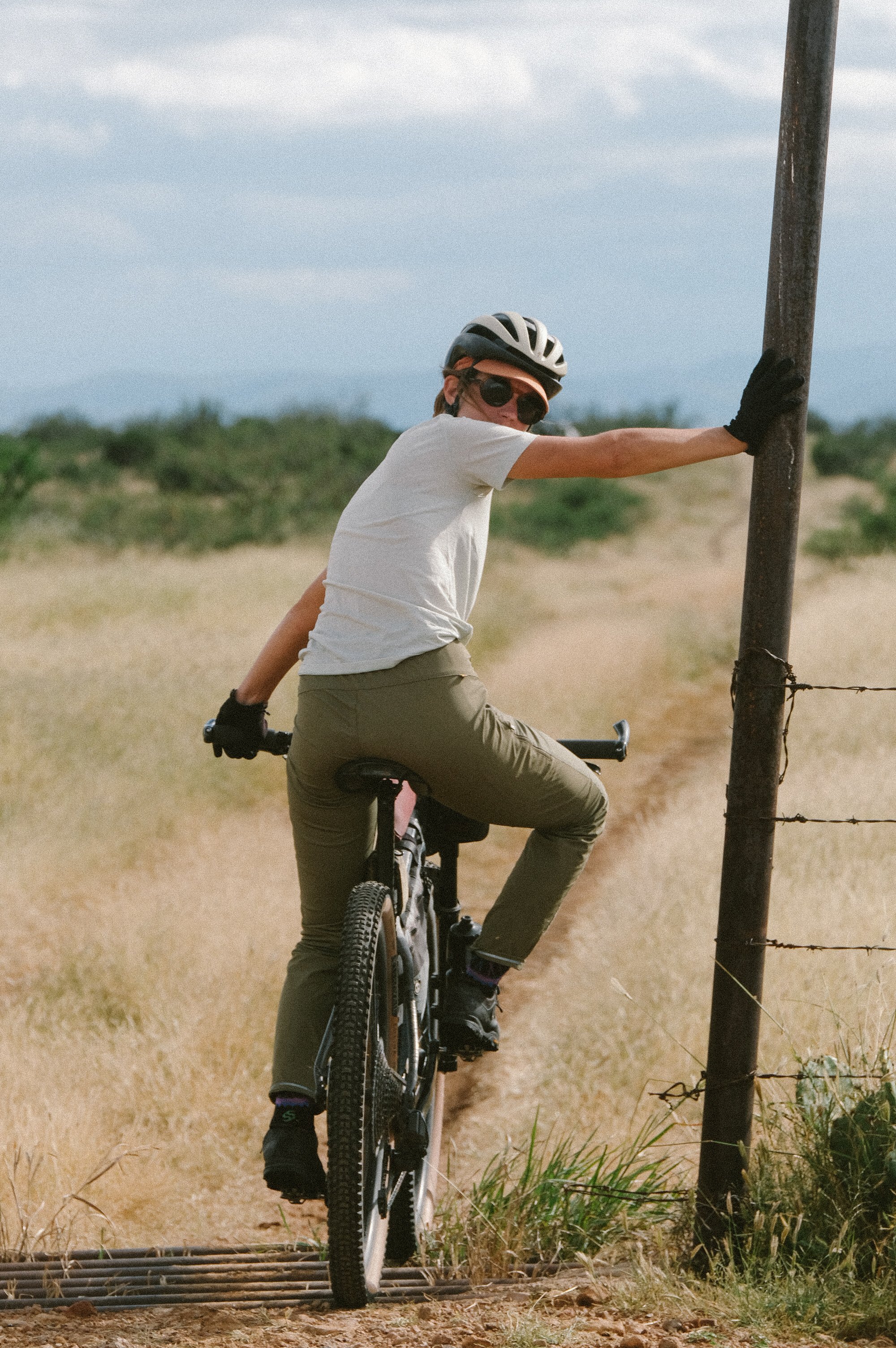
One of the biggest challenges I faced while assembling routes in Mexico is that most land is privately owned. This means that even if a road is on a map, that doesn’t necessarily mean you can ride it. There are many roads I would still like to ride surrounding Cuenca Los Ojos, but it is necessary to get permission, and to get that permission, it takes time to build those relationships. Another challenging aspect is that the standard satellite or base maps are outdated and less detailed than the map beta we have here in the U.S. Once again, a road can show up as well established on an old satellite image, but in reality, it can be thoroughly washed away. Owners of large private ranches may have detailed maps of their properties, but they are impossible to find if you are not there in person. Lastly, the language is a barrier for me personally. As an English speaker with a basic understanding of Spanish, I rely heavily on other people translating for me. When speaking to someone who may know more about the condition of a road I would like to ride or gain permission for, it can be challenging for me to communicate everything I want or have all my questions answered. Things can easily get lost in translation, and out of respect for everyone involved, I take a slower approach to building relationships before attempting to travel through an area with questionable access.
Q: Ruta del Jefe has always emphasized education, advocacy, and community as opposed to simply adventure for its own sake – how would you characterize the relationship between the route developer and the lands/communities through which you ride?
Routes are incredible opportunities to capture riders' interests and capitalize on that interest to tell more significant stories. Personally, when I ride a route that I find engaging and visually stimulating, I start getting curious about why the place is the way it is, what its social and geologic history is like, who was its first inhabitants, and what sorts of stories are being told about it today. Ruta del Jefe takes place in the borderlands of the U.S. and Mexico. While it has much biodiversity and incredible conservation and restoration initiatives, the newly constructed border wall and the growing interest in Copper for electric vehicles, a mineral prevalent in the region, threaten migration patterns and the habitat of threatened and endangered species like the jaguar.
As many of us know from the abundance of news stories, the borderlands is also the center of a humanitarian crisis where refugees worldwide are attempting to seek asylum in the United States. A story that is less often told in the news, but anyone in the borderlands understands, is that due to the U.S. immigration policies and the desperation of many of these immigrants, many individuals resort to hiring coyotes to assist them in crossing the border in more remote regions. Once across, many of these coyotes abandon the migrants who hired them, even stealing any remaining food, water, and money they had. This tragic situation leaves people with nothing in one of the harshest environments in the world with no navigation and results in thousands of deaths in the U.S. borderland each year, many of which go uncounted. While this may not be an issue, some people want to acknowledge when they ride their bicycle, it comes with the territory of riding a bicycle in the borderlands. Through Ruta del Jefe and other route projects in the region, I educate riders about this unpleasant reality and their rights to offer humanitarian aid to individuals they may encounter in need of assistance. People who ride a bike in this region and encounter a migrant needing help can make a difference in a life lost and a life saved.
As route developers, it is our responsibility to tell the truth about the places we promote riding through so that riders can decide whether they are comfortable with riding that route and have more context and appreciation for the places they ride.
Q: I notice you call specific attention to the fact that Ruta del Jefe is 'not a gravel ride' – how would you parse out the difference between 'gravel' and 'adventure' riding?
These days, gravel riding is road-style riding on unpaved roads. Gravel riding takes place on generally well-maintained 2-wheel drive roads. They tend to be just as wide or wider than a paved road and easily be ridden on a bike with 38mm - 45mm tires. Adventure riding is not gravel riding, nor is it single-track mountain bike riding. Adventure riding is a blend of gravel and single-track that takes place on narrow roads that are often double-track, technical, steep, and more integrated with the natural landscape they are built through. Adventure riding is more challenging and technical than gravel riding but less challenging and technical than single-track riding. The best bike for the terrain depends on its rider. The bike recommended for Ruta del Jefe in 2024 should not have any smaller tires than 2.3” for the loose, steep, rocky, and sandy roads and should come equipped with the most forgiving gear ratio for steep climbs. Due to the many technical features and steep grades, a bicycle with a flat bar will be more comfortable for most people and allow quick maneuvering and good visibility.


