Photos by Hubert d'Autremont. If you like handmade custom bicycle culture consider supporting Huberts work by purchasing a Rangefinder Book.
The Chiricahua sierra has been on my list of places to visit in Arizona since I started visiting this part of the world. In 2018, fresh off two and a half months of bike touring in Japan, New Zealand, and Australia, Adam and I attempted to ride back home to Durango from Tucson. Within four days we called it quits on Christmas Day when we got caught in a blizzard in the Chiricahuas. Our friends Benedict and Nam graciously came to the rescue, transporting us to the nearest hot spring and then to the nearest town so we could rent a car and finish the journey back home. It was one of the best Christmases to date.
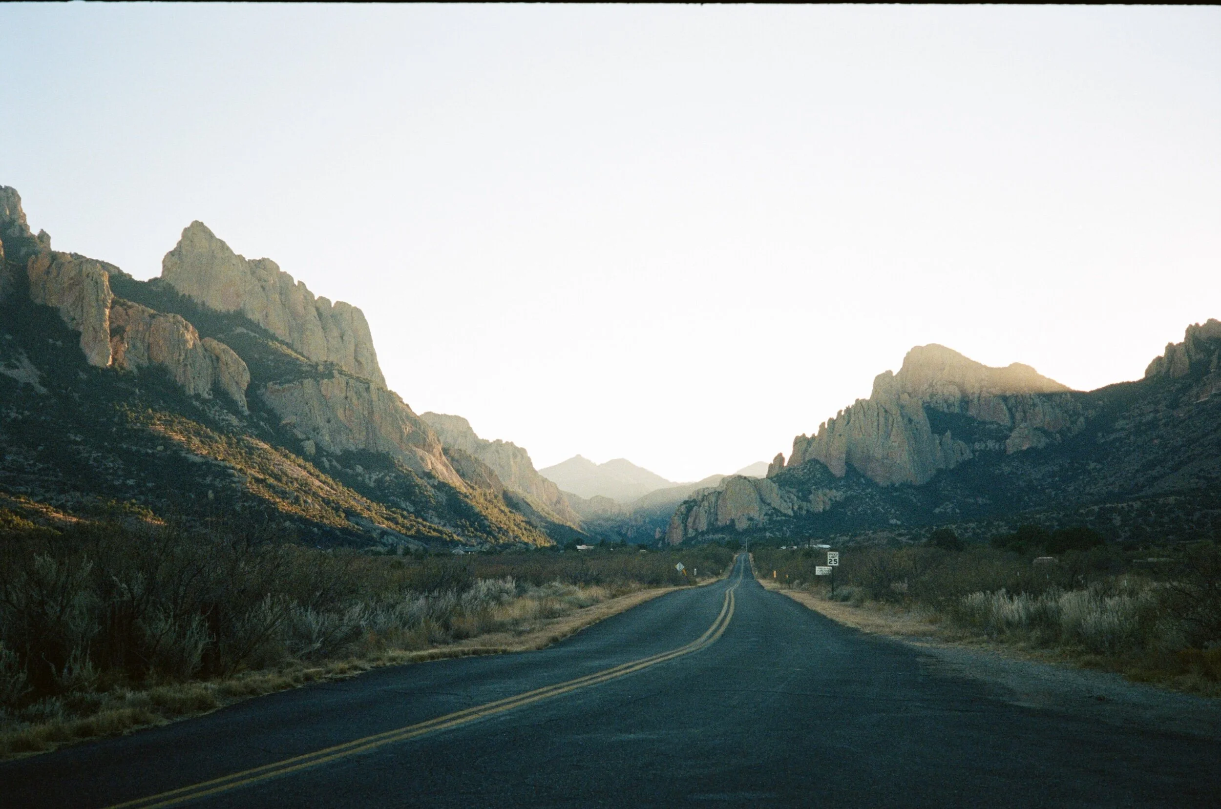
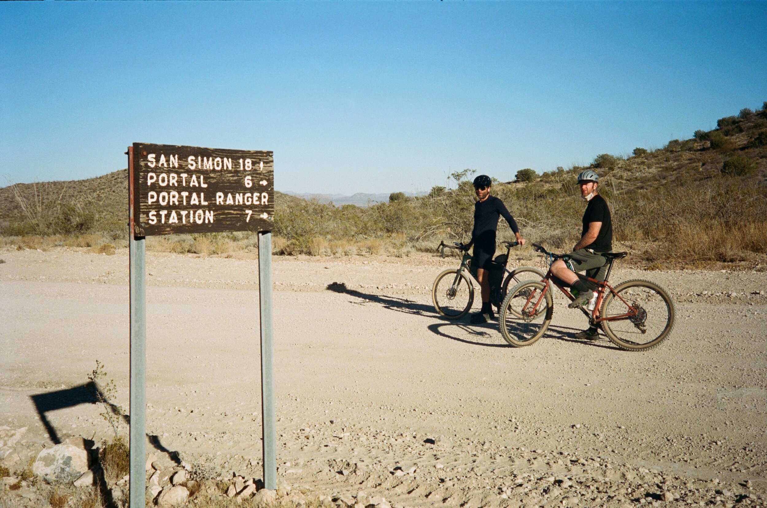
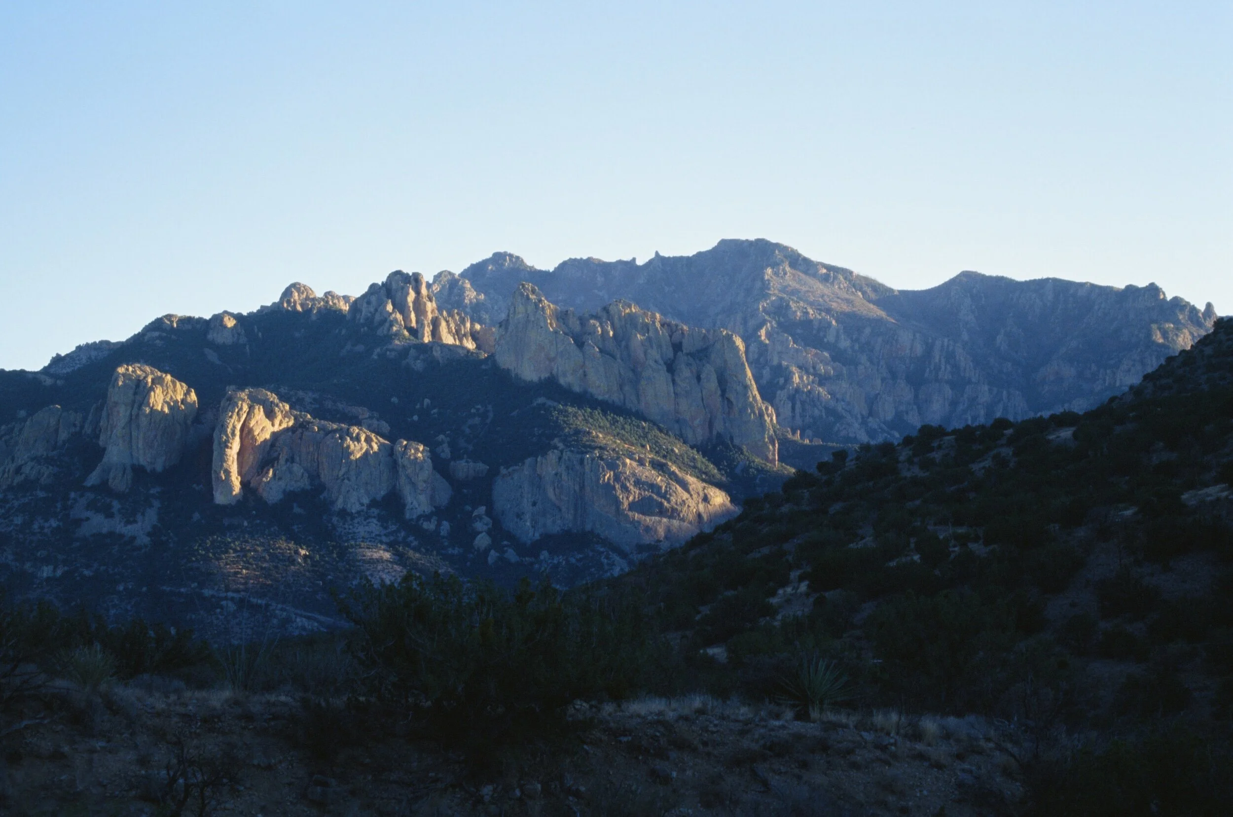
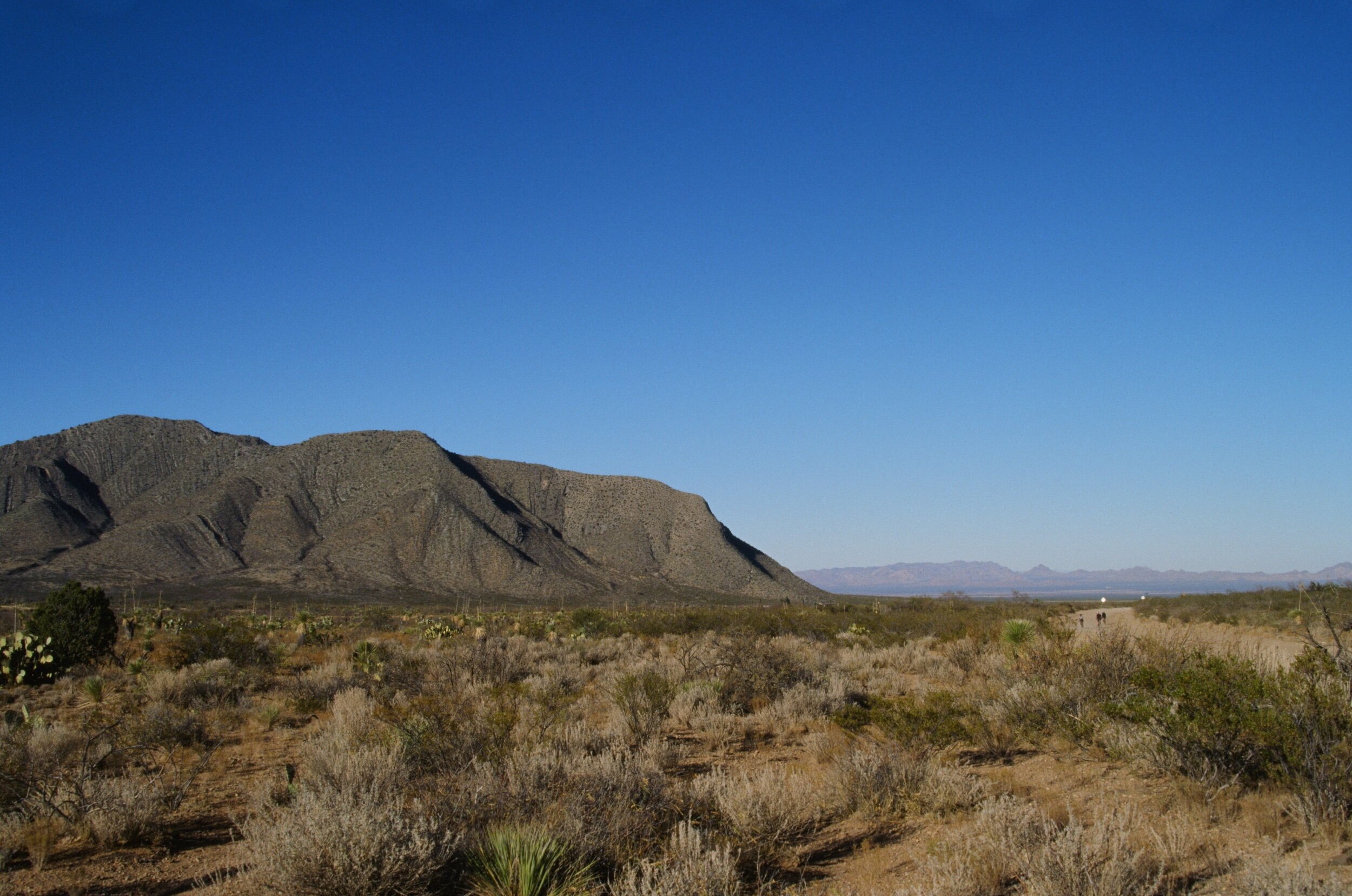
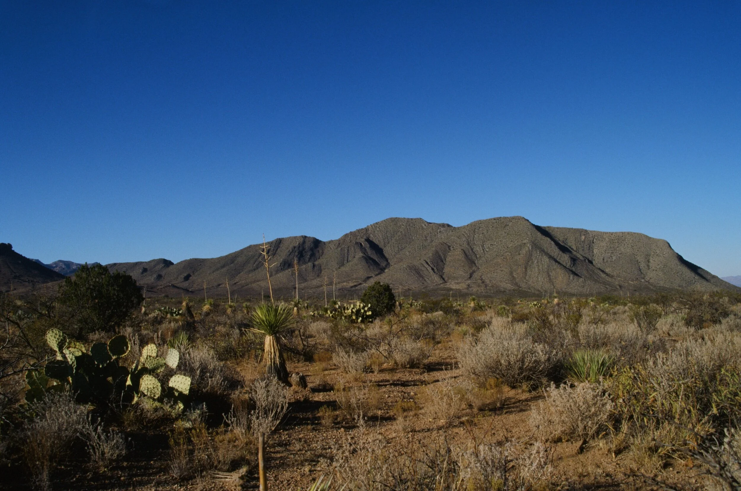
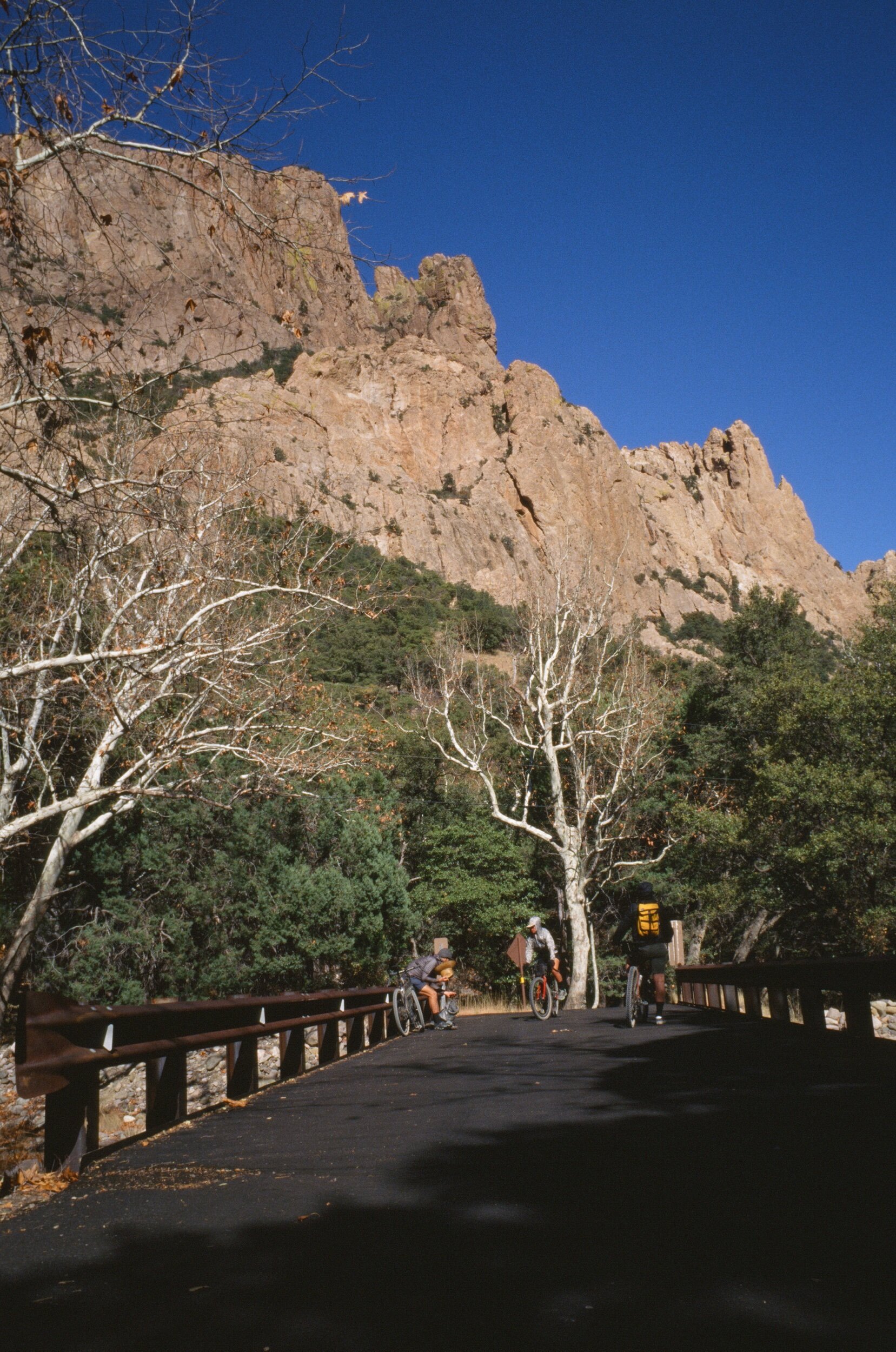
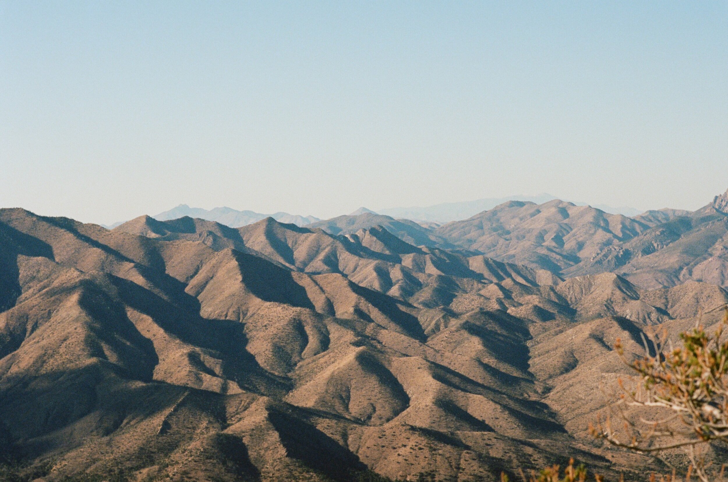
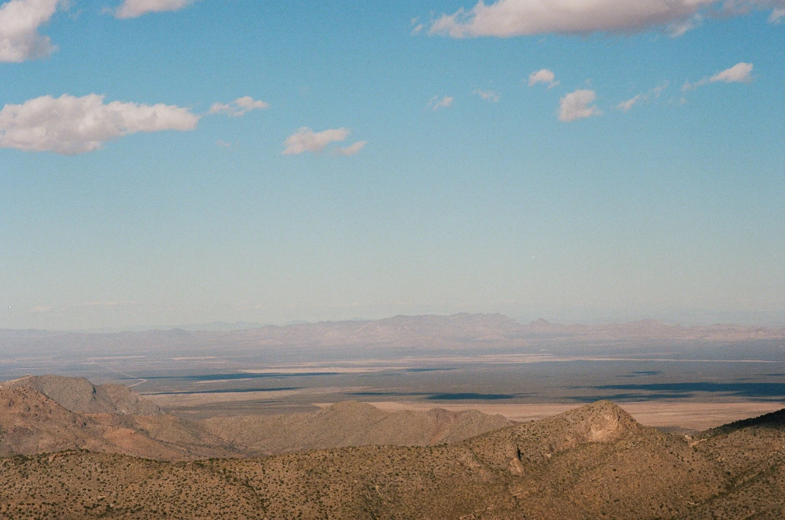
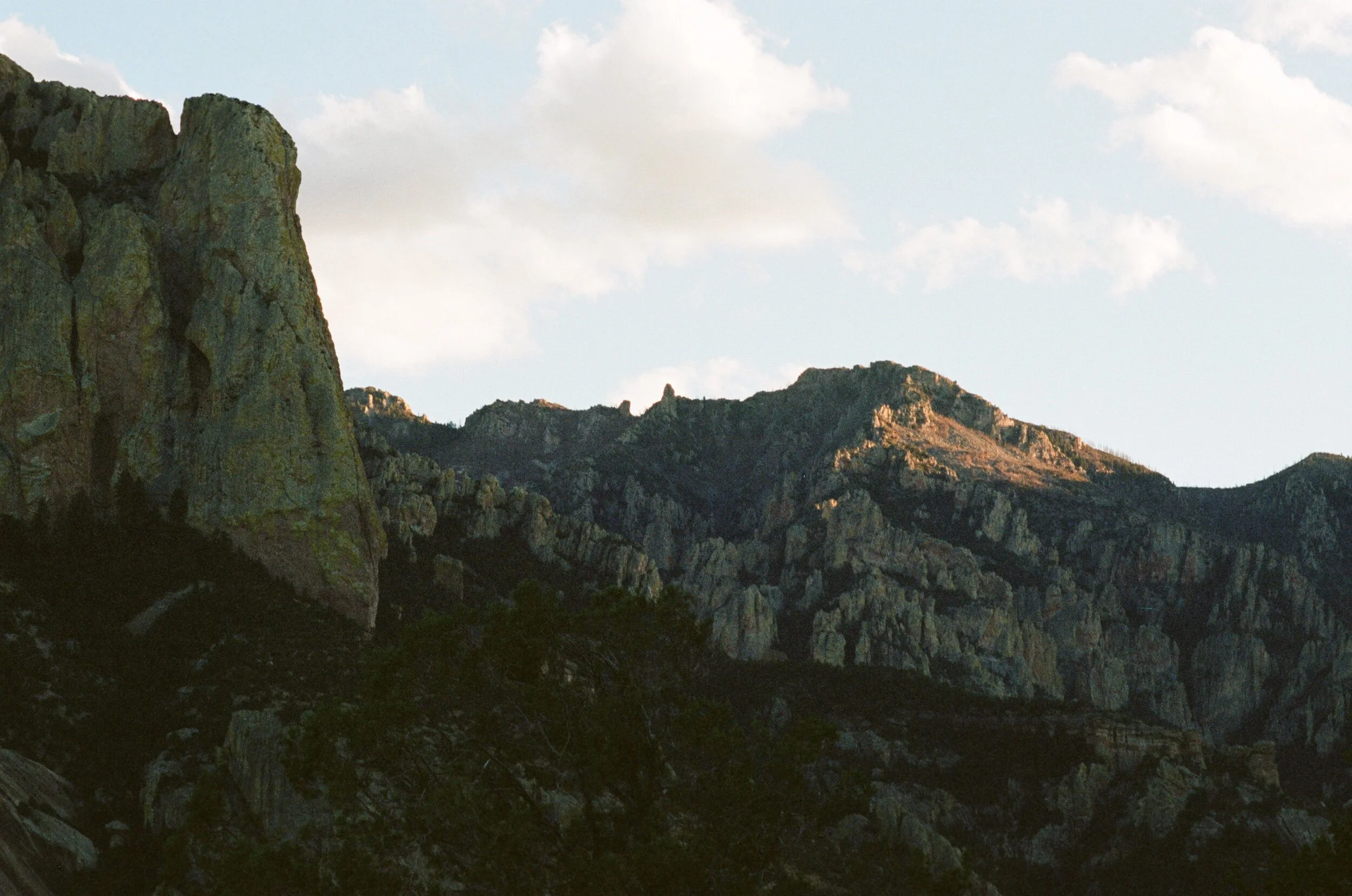
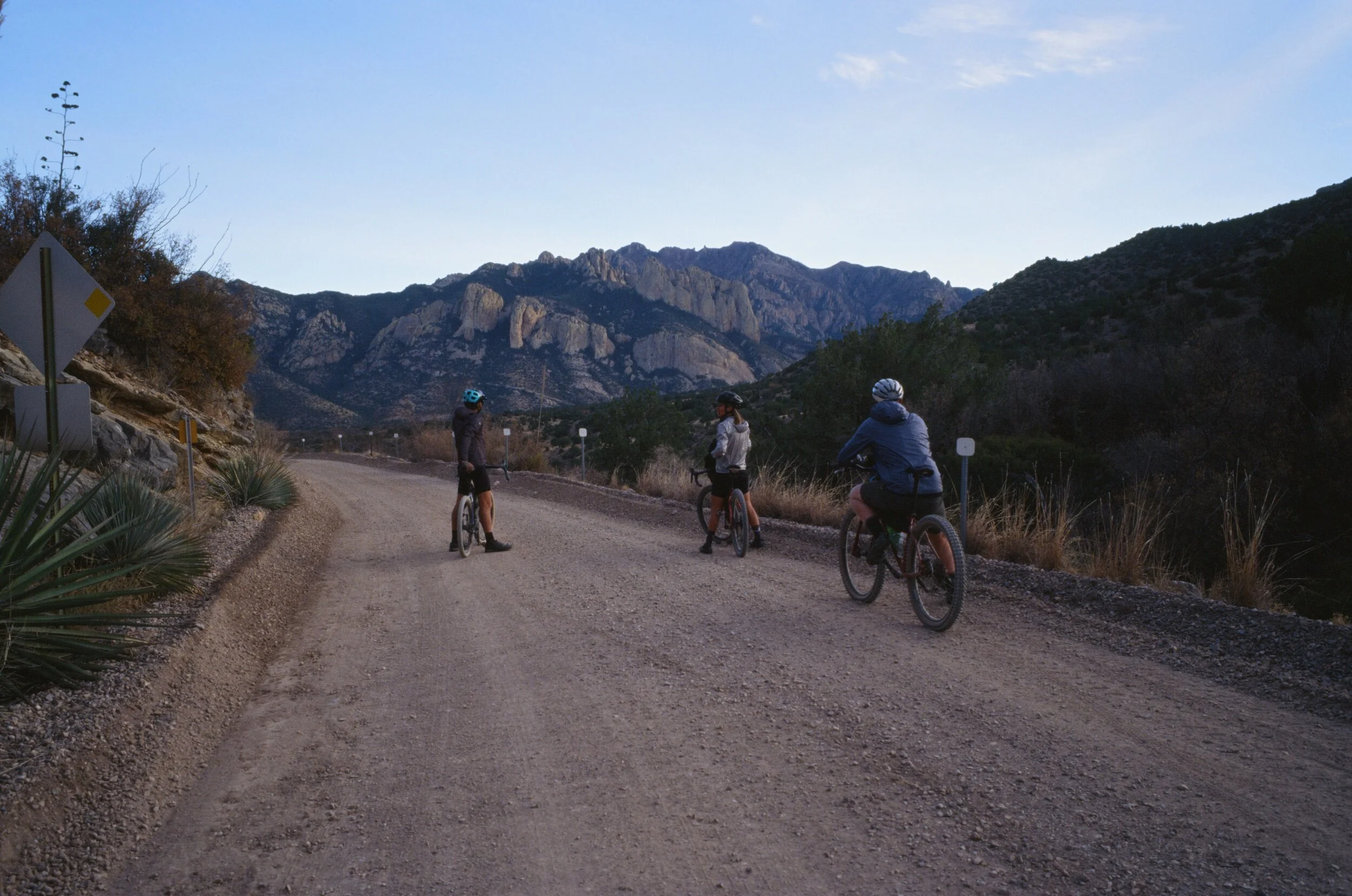
I didn't return to the Chiricahua cordillera until recently when I attempted the same route. This time, I was riding in the opposite direction from Las Cruces, New Mexico, back to the Appleton-Whittell Research Ranch in Elgin, Arizona. After pedaling two hundred miles in anticipation, I learned what all the fuss was about as I slowly approached the east side of the mountain range where a citadel of stone columns, spires, and hoodoos rose from the forest. Contrasted with the bleak, flat, and exposed desert of the vast San Simon Valley that I had just pedaled across, the Chiricahuas offered dense shade and a respite for my sunburn. They were also beaming with life; white-tailed deer, turkeys, javelina, and even running water after one of the driest monsoon seasons on record.
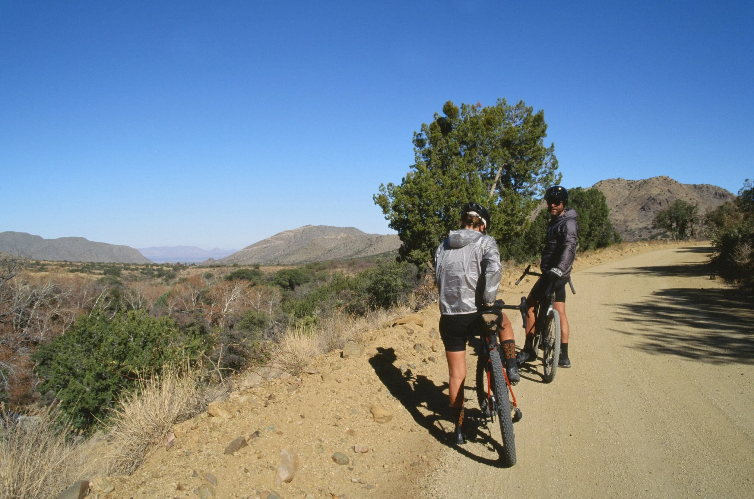
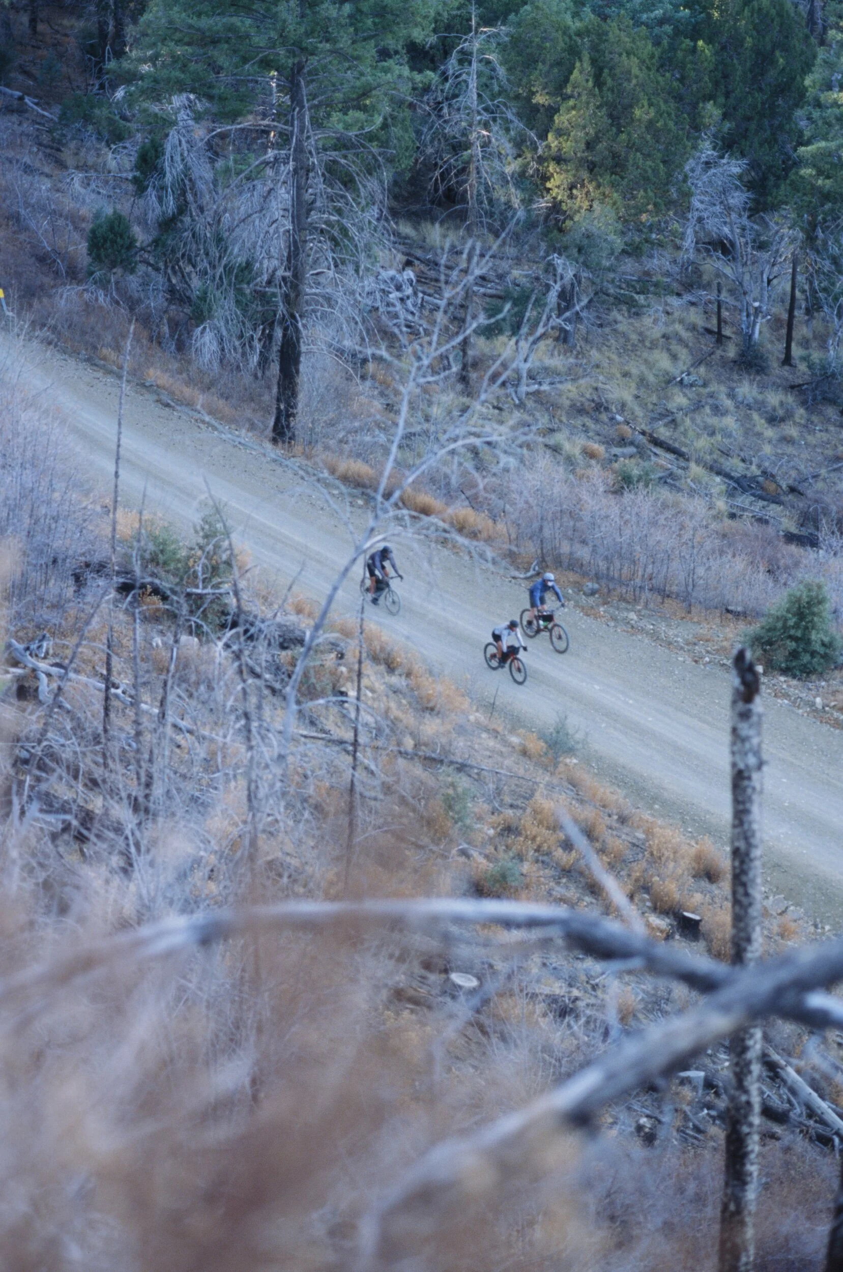
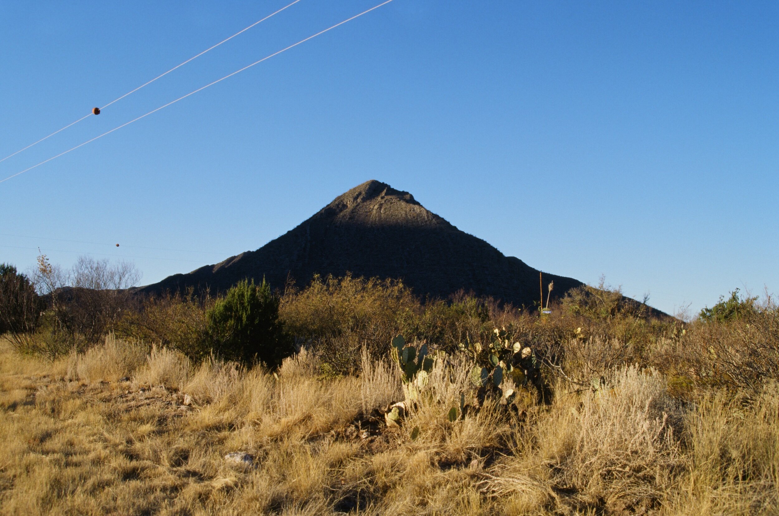
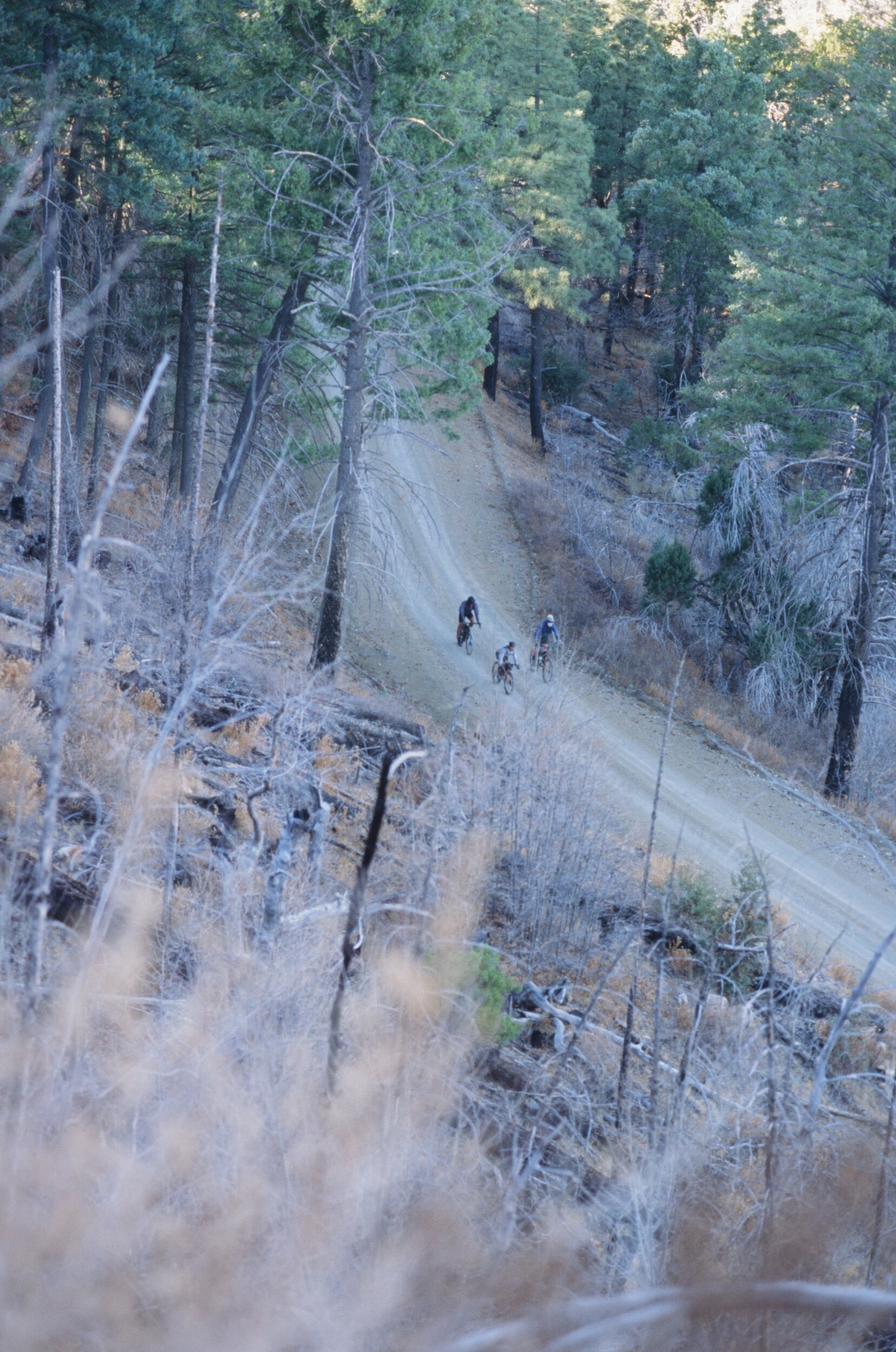
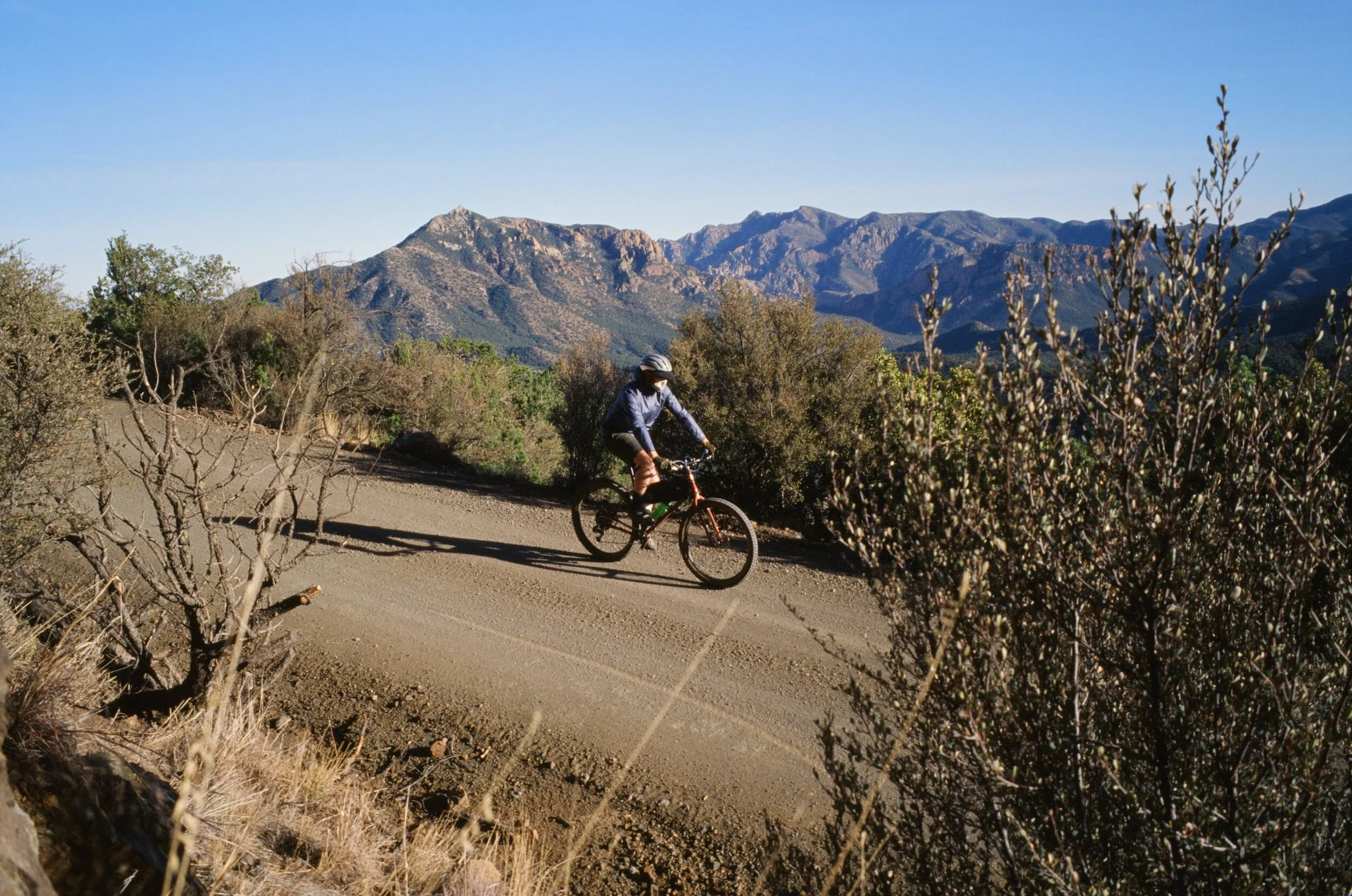
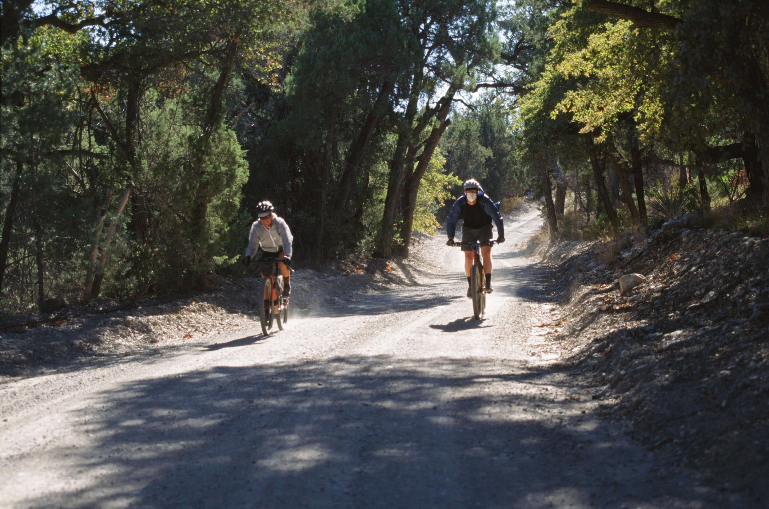
The Chiricahua Mountains’ namesake comes from the Indigenous People to the land. The Chiricahua Peoples battled to defend their territory from Spanish-Mexican settlers and armies for over two hundred years. However, after the Gadsden Purchase of 1854, they were ultimately and violently forced from their lands by the U.S. Army so that Euro-American settlers could colonize the West. The mountains themselves are located thirty-five-miles north of the southern border of the U.S. with Mexico, and on the eastern Arizona border with New Mexico. The main gravel road that travels across the range is seventeen miles long, split between a 2,700 ft climb and a 2,000 ft descent. This road is a rare high altitude gem through one of the largest of the Sky Islands of southern Arizona, reaching 8,000 ft (the highest peak in the Chiricahuas reaches 9,763 ft). A “sky Island” is one of many isolated mountain ranges in the Sonoran and Chihuahua deserts that produce multiple life zones with increased elevation. This phenomenon creates an island habitat for diverse flora and fauna surrounded by a desert sea.
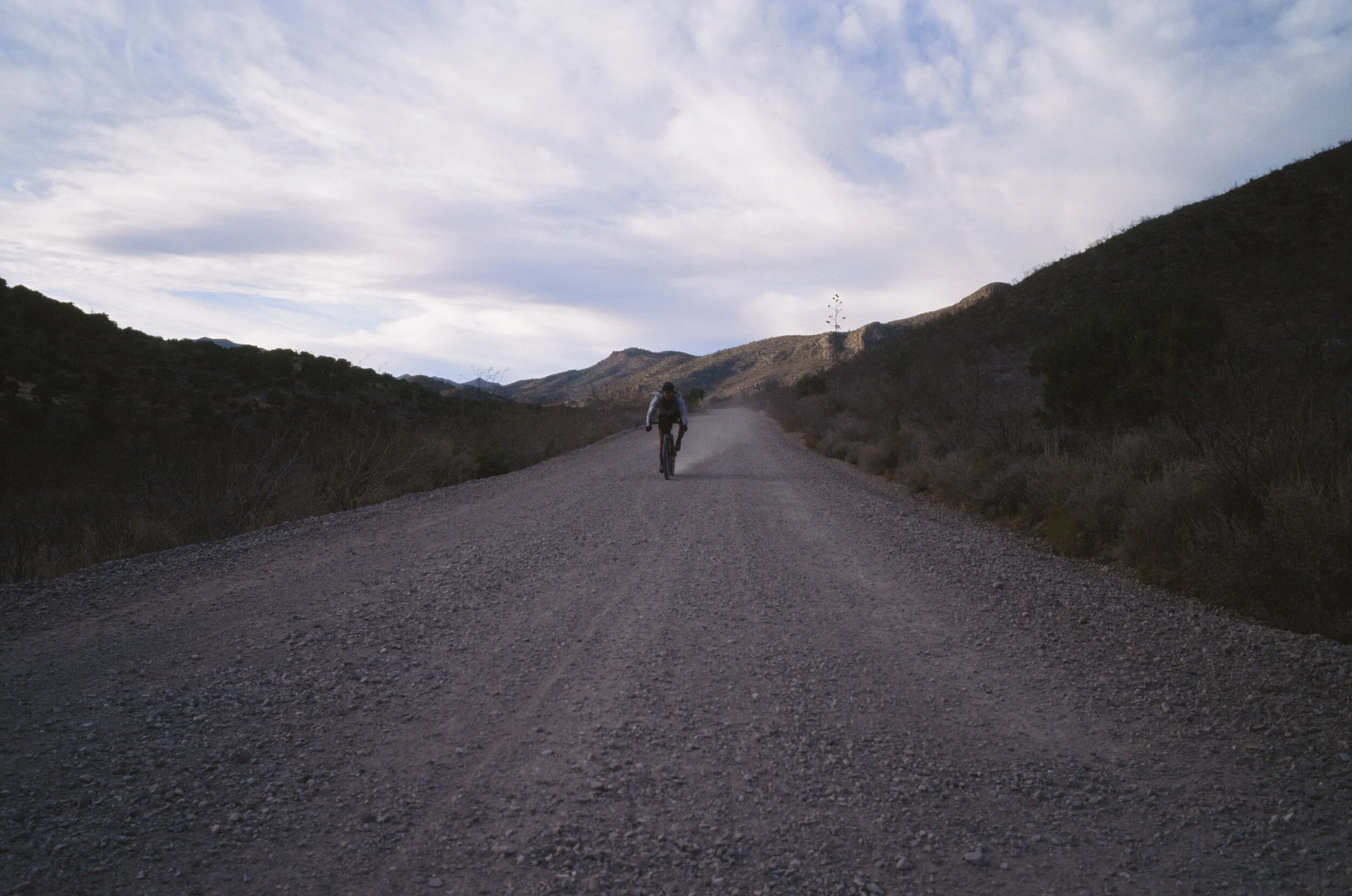
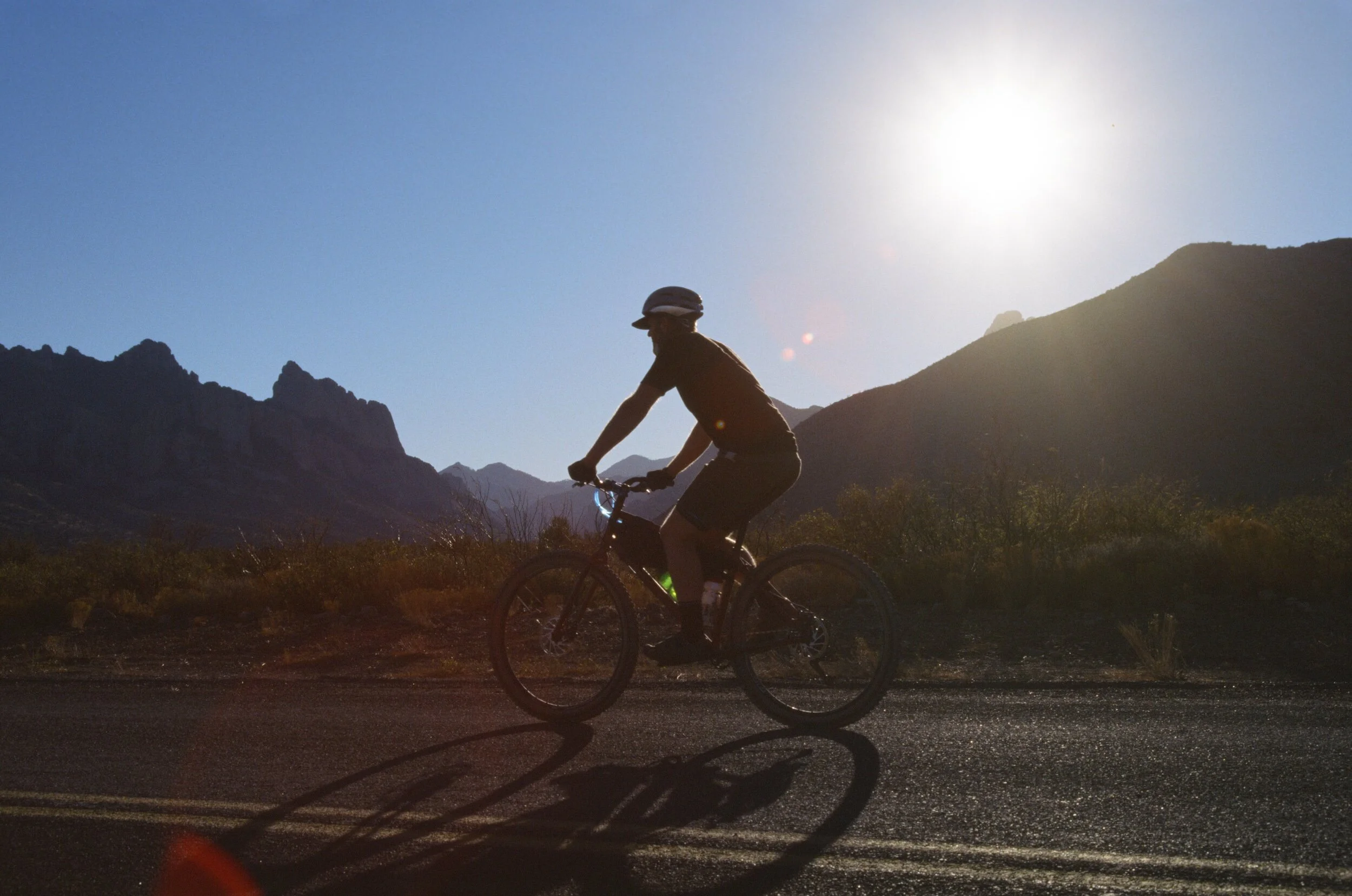
As I pedaled the ten miles of winding and twisting gravel road to the top of the pass, I couldn't help but think back on what the jaguar experts who have spoken at Ruta del Jefe have said about this place. These experts believe that the Chiricahua Mountains are now the ideal habitat for American jaguars and Sonoran ocelots. Sure enough, in 2019, a rare spotting of a Sonoran ocelot was recorded by Conservation CATalyst, the same group who documented El Jefe, the famous American jaguar who lived in the Santa Rita Mountains. If you wonder what an ocelot looks like, understanding its name's origins should give you a good mental picture. The word "ocelot" comes from the Mexican Aztec word, tlalocelot, which means "field tiger." For more ocelot coolness, check out this remote action camera footage of Lil Jefe documented in the Chiricahua massif. Lil Jefe, named after his famous relative, has inspired hope for the future of conservation habitats for these extraordinary creatures, such as within the canyons of the Chiricahua from mining, urbanization, and deforestation. Lil Jefe also serves as a symbol to raise public awareness to protect his species from poaching and retaliatory killings from their perceived threat to livestock.
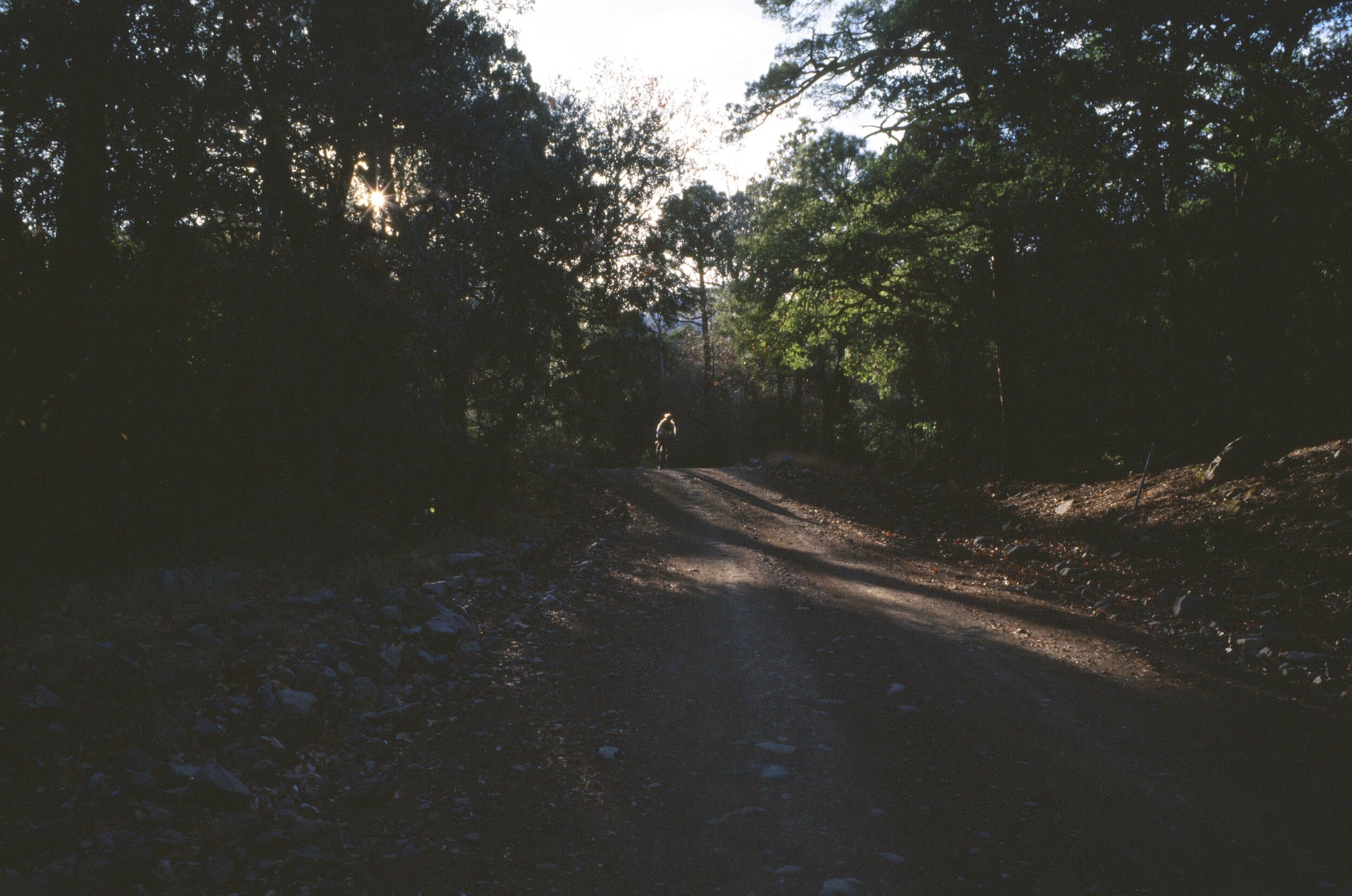
I wanted to be the last person on the mountain pass to increase my chances of having an unusual critter spotting. I pedaled slowly to capture the last sun on the range. My senses were heightened to the slightest rustle of leaves as I hoped to see something, anything. But I saw nothing until later that night at camp when the darkness and my heightened sensitivity turned to paranoia when I heard something(s) rustling in the grass around me. Was it a jaguar, a mountain lion, a black bear, or an ocelot? I could not see it. Having spilled my mac ‘n' cheese dinner on the ground beside my camp, I decided that whatever critter was looming in the shadows would now be even more interested in me. So, I buried my cheesy spilt meal, folded my sleeping pad, bag, and bivy into a taco, slung it over my shoulder, and rode down the road to a different camp spot. My thinking was that sleeping in a more established camping area would deter whatever critters the last site had produced or, at the very least, allow me to see them coming. Within an hour, I heard the same noise. I sat up quickly, my heart racing, shined my headlight in the direction of the noise and finally spotted the culprit of my fear—a skunk. I was only somewhat relieved, having heard recent stories of skunks who like to cuddle with campers inside their bivouacs, so I shined my light on the little ball of black and white fur until they strolled away.
After yet another sip of this wild-feeling place, I was determined to return to explore some of the few gravel roads I noticed while traveling on my short visits. The roads, scenery, camping options, and serenity seemed ideal for a little gravel getaway, to escape the grasslands for a shaded pause within the forests, and for Adam and I to connect with friends Hubert and Sean before the holidays. In preparation, I put a few cycling routes together while Adam added some hikes to a Ride with GPS collection, which gave us various options to choose from for a three-and-a-half-day base camp in the Chiricahua range
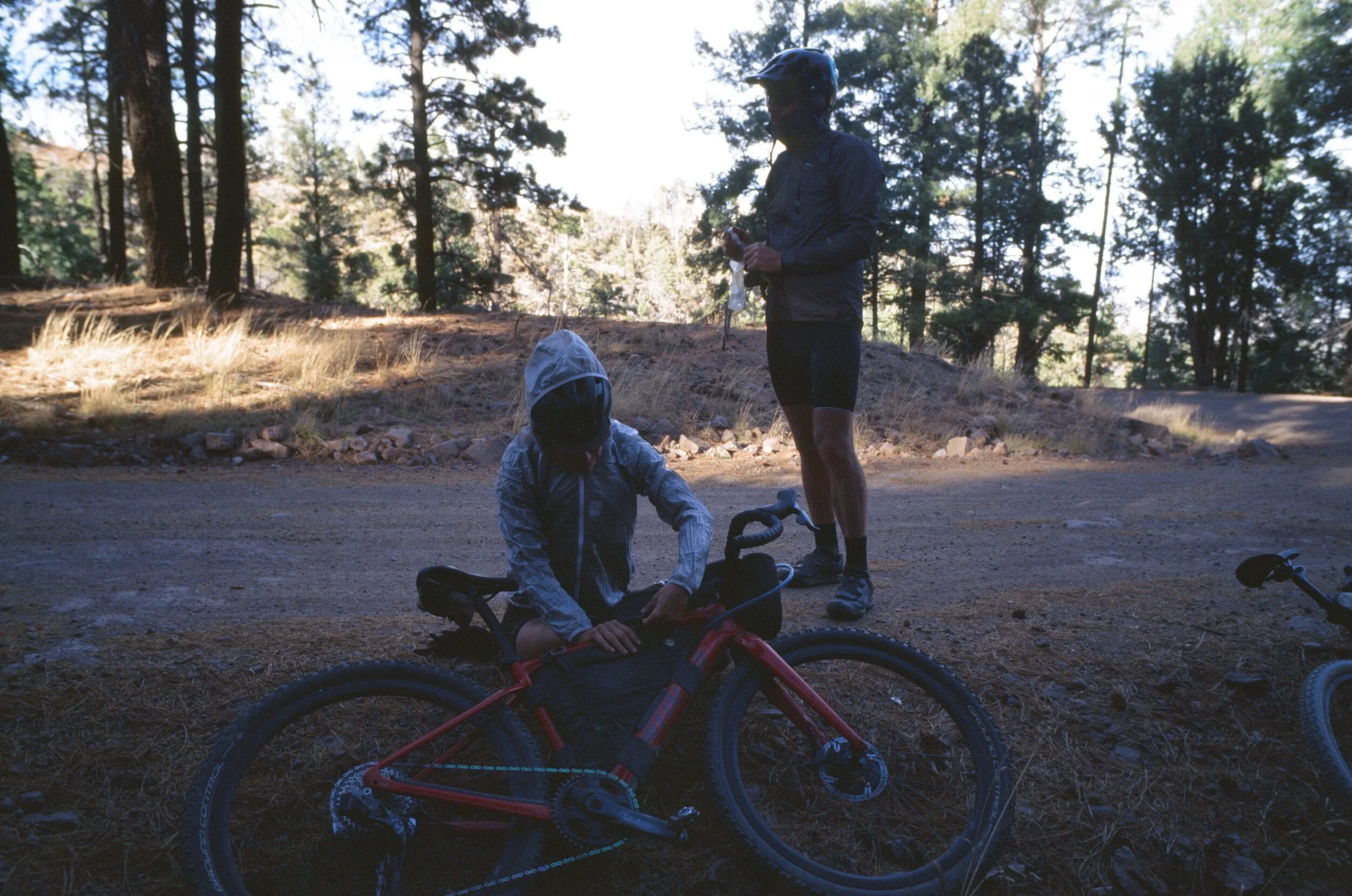
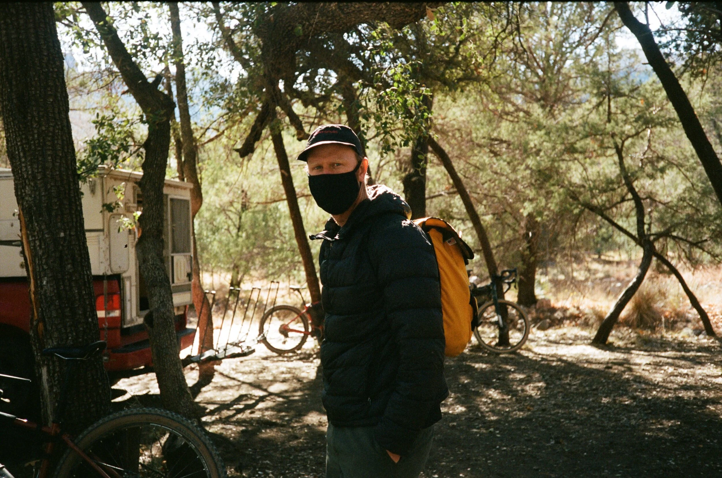
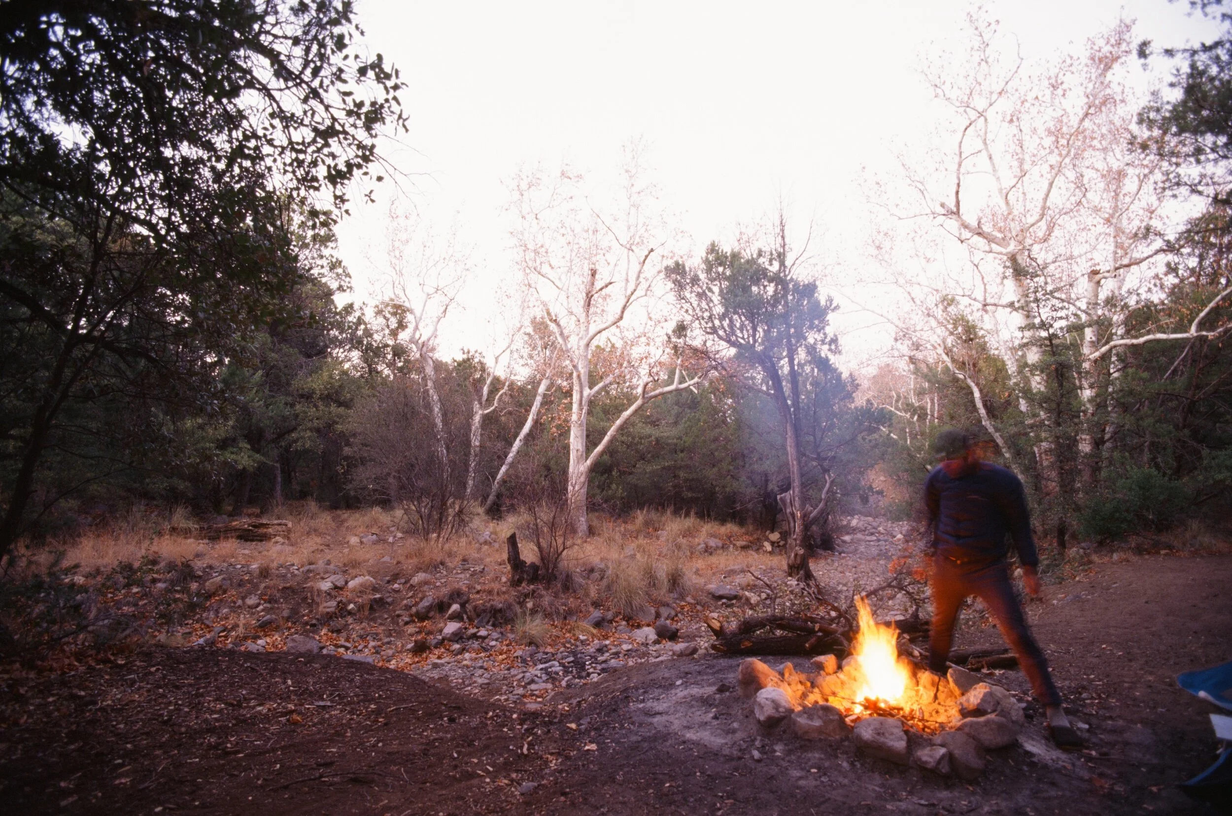
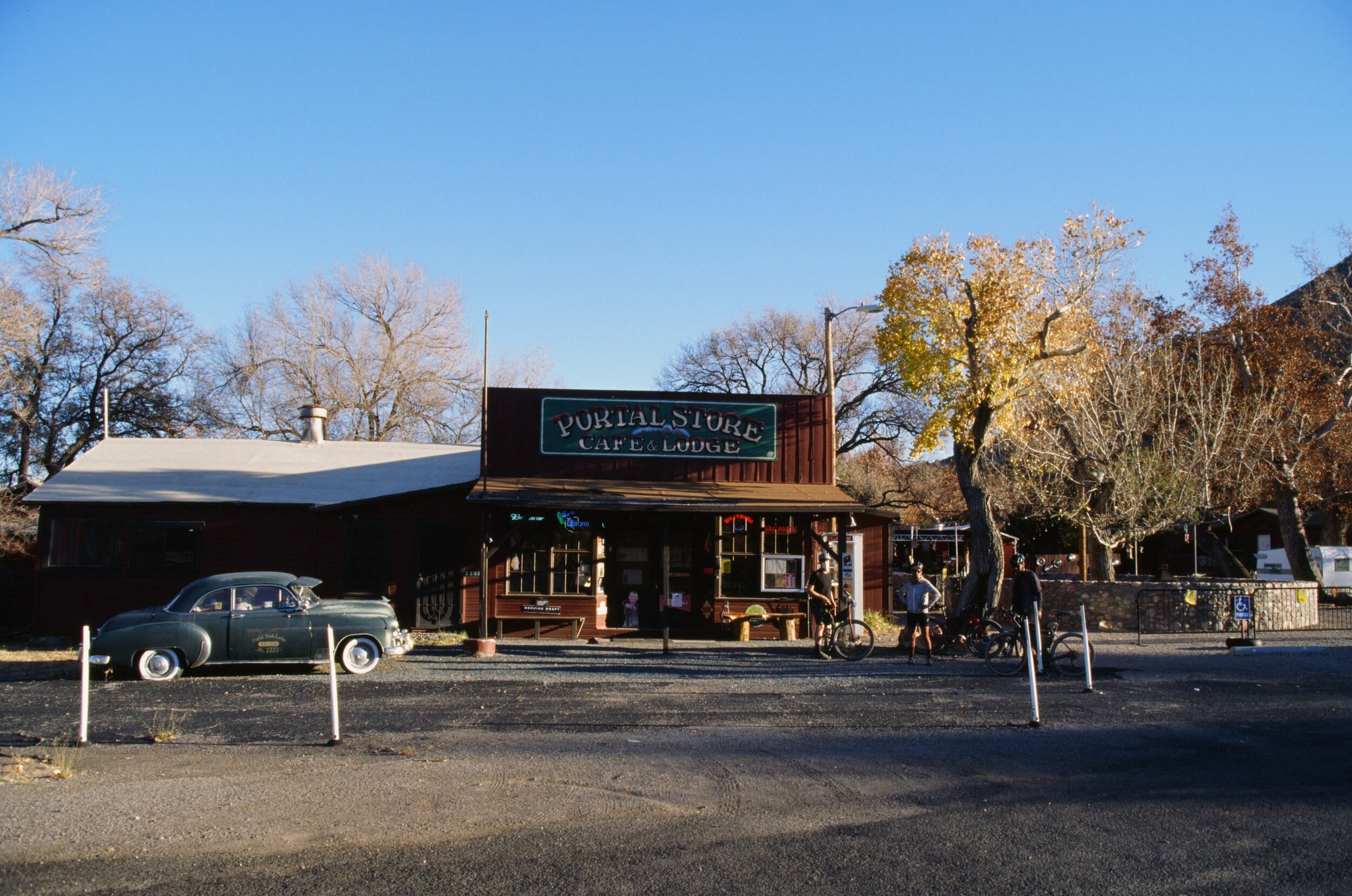
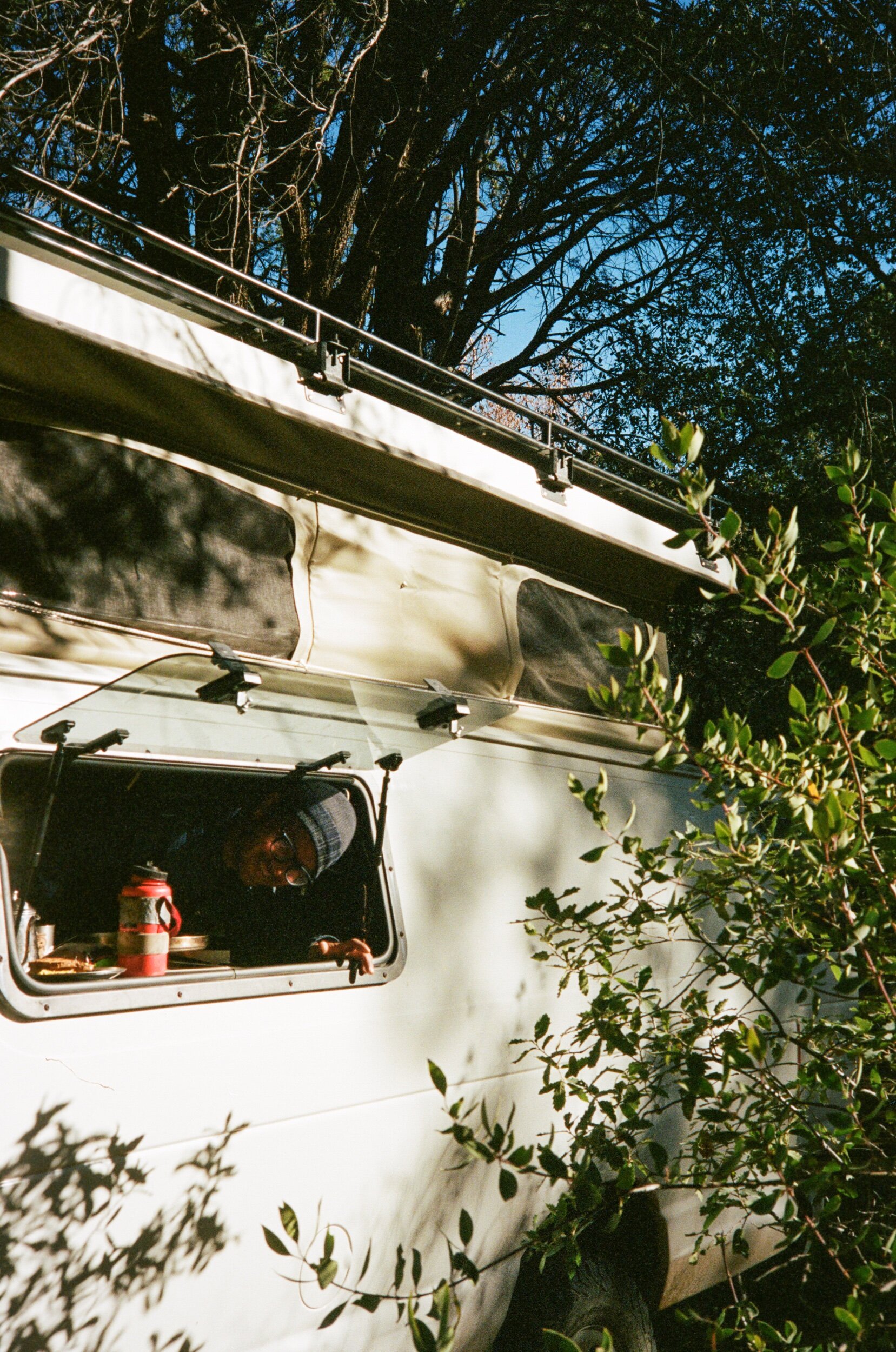
The trip started like any does when you meet your friends in a new faraway place. The fresh smells of pine and juniper complemented with cool, clean, crisp air inspired a sense of wonder and excitement for what would unfold in the following hours and days. We caught up with each other, picked our optimal camp spots and angles, prepped the bikes for the weekend ahead, and gathered a Yule log and tinder to keep us warm and in the holiday spirit when the sun would go down.
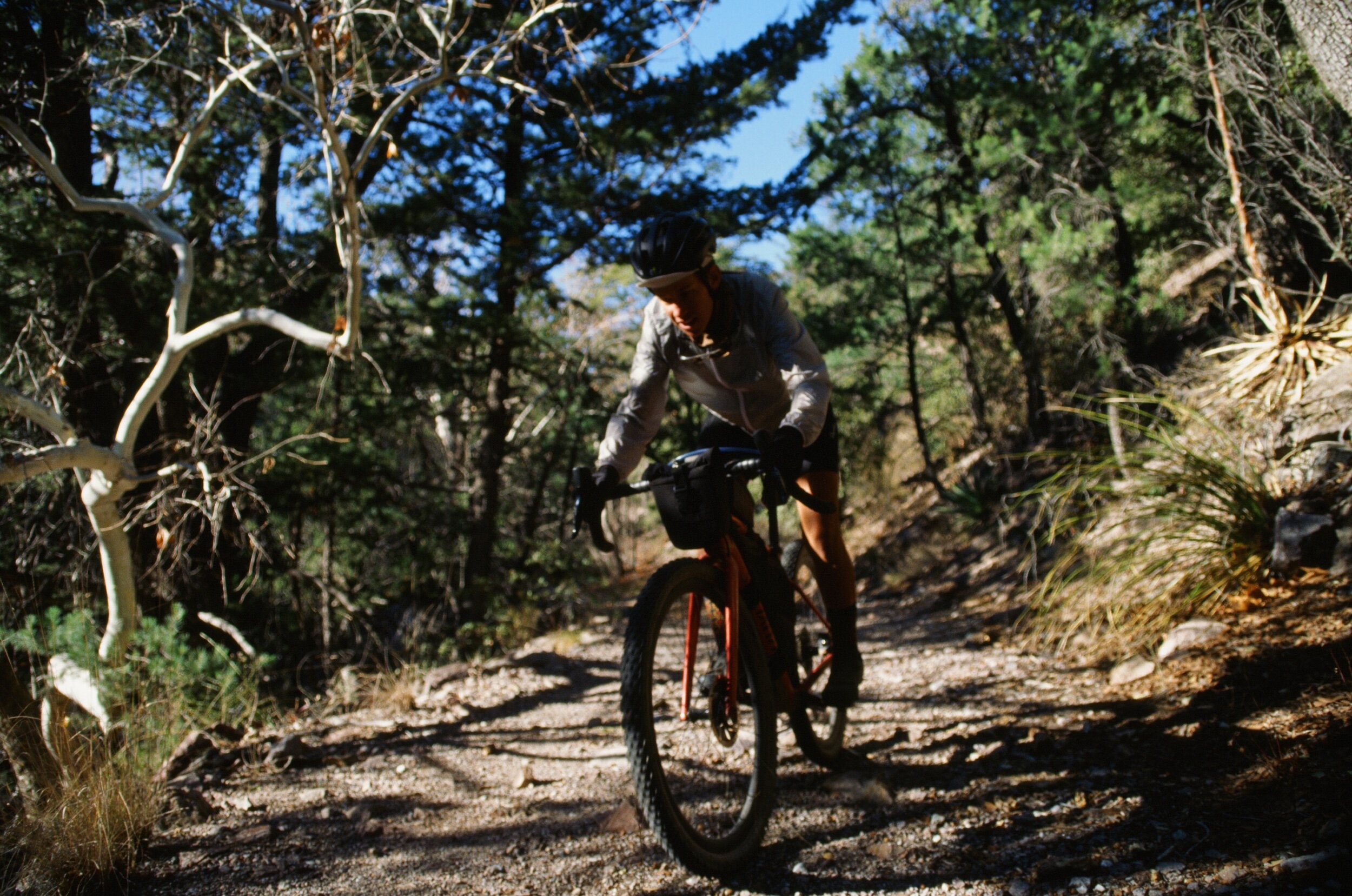
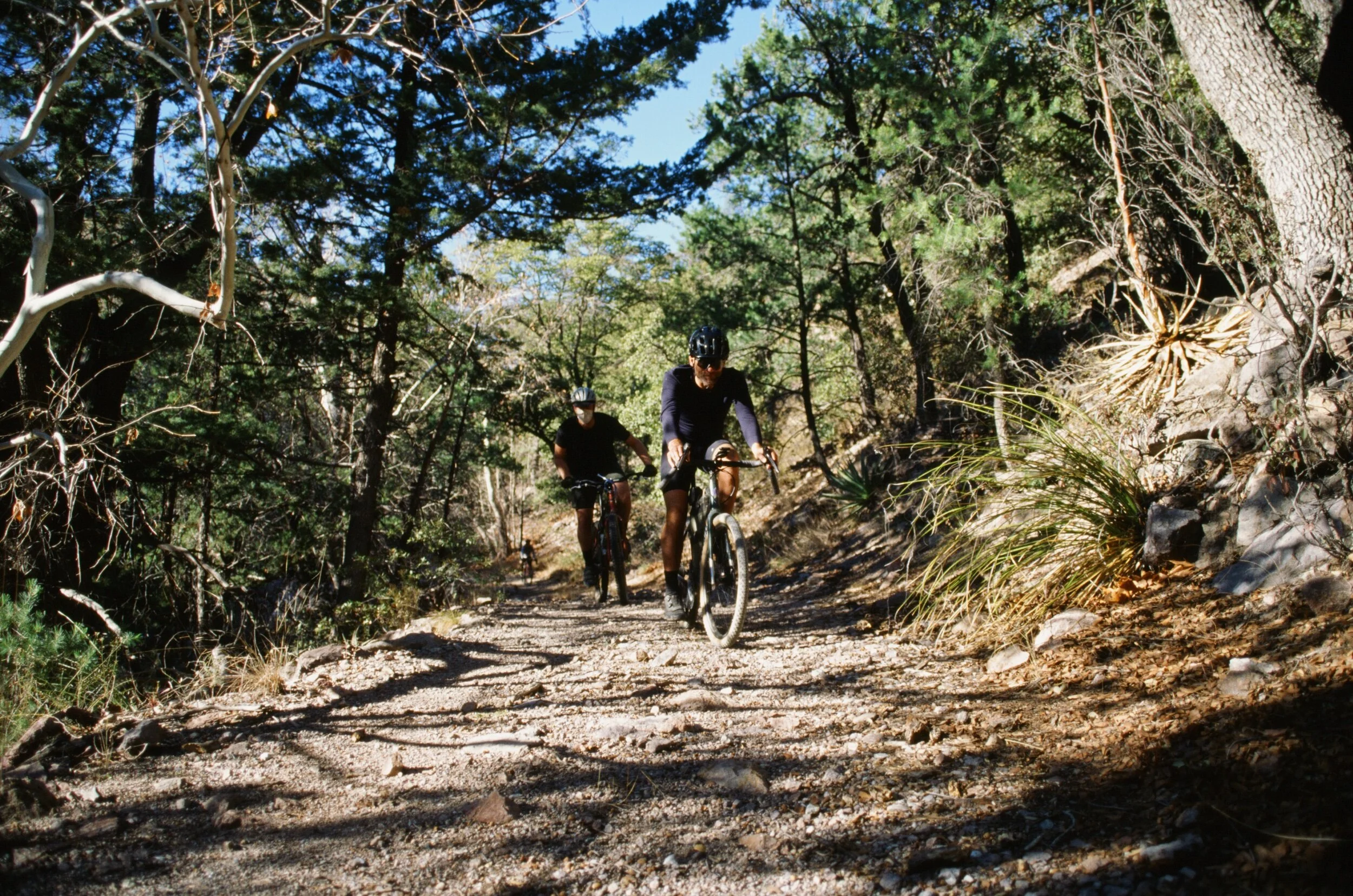
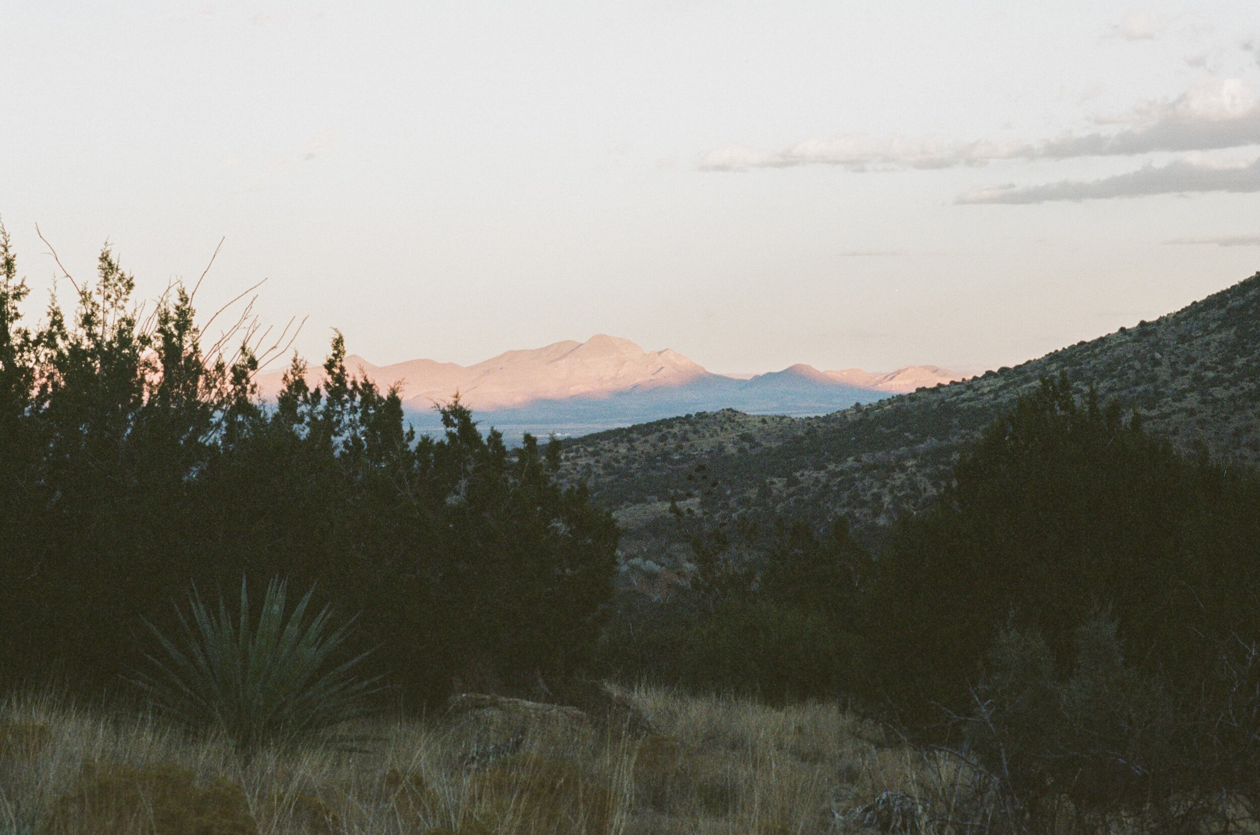
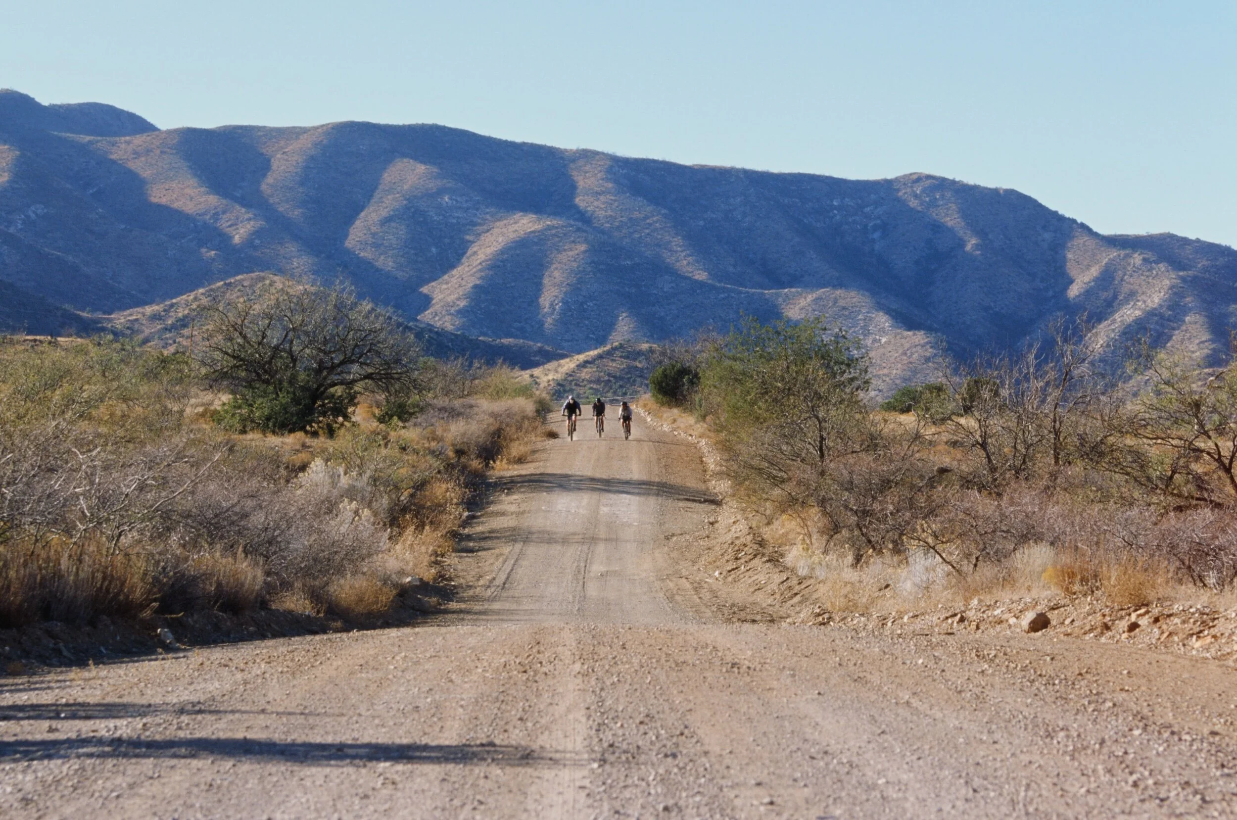
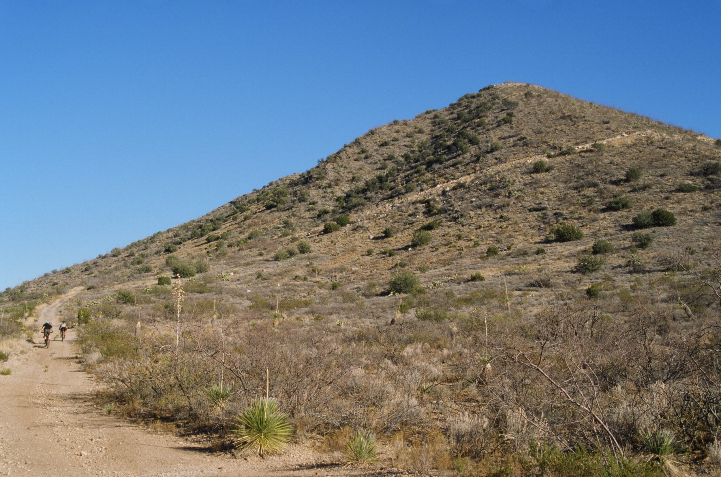
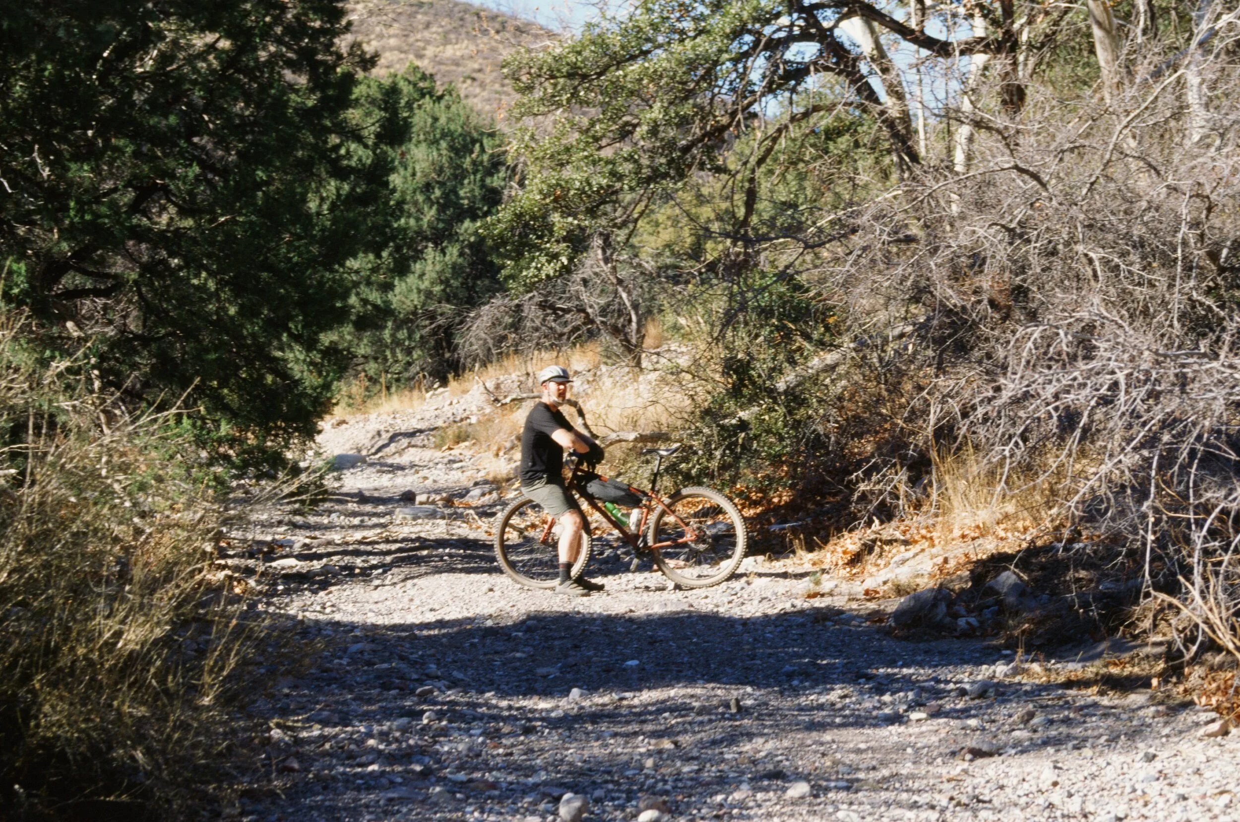
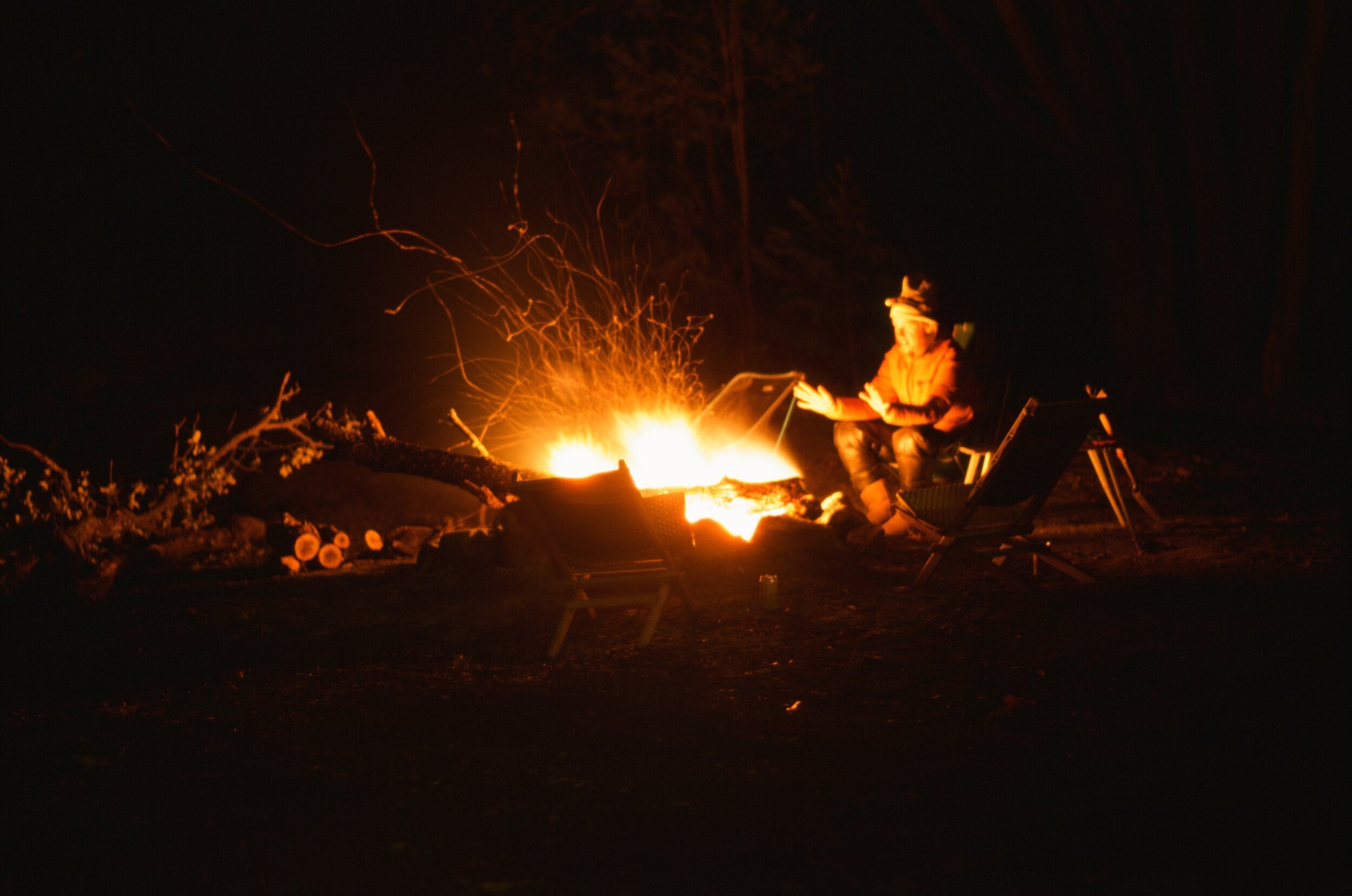
Over the next three days, we spent the first two riding gravel roads through the mountain and in its foothills to see where they would lead. These days started late, around noon, after we had slept in, thawed out our frozen water, sat by the fire, and had a heaping breakfast. By the time we would leave camp the temperatures would be perfect in the mid-60s, but would get chillier by the hour as the sun sank behind the mountain skyline. Driven by the beauty and curiosity for what lay around the next corner, we spent these days riding further than our initial plans, making up for our late starts by maximizing the dusk and enjoying the sunsets. We did this even though it required cold ears and fingers as we rode into temperatures dipping into the low and frigid forties. We would return to camp, use the spirit and momentum we had gained from our ride and get straight to work on getting the fire started, warming up, and feeding ourselves, to make the outdoors habitable and pleasant. We would talk by the fire and over-guess the time of evening until we resigned to the call of our warm sleeping bags and pillows. We peeled ourselves away, one-by-one for an early bedtime, leaving the last two standing to douse and bury whatever coals of the Yule log that remained.
I had planned an ambitious eighty mile circumnavigation of the Chiricahuas for the third day of our gravel getaway. However, our group felt that we could all use something less committing and more relaxing. After all, the holidays and our old priorities of using this time of year to "train" for the early season's gravel events like Ruta del Jefe and the Mid South felt a little pointless due to Covid, canceled events, and fewer friends visiting this year. The benefit of this decision is that I now have another reason to return to this magical place. As an alternative to the big ride, we opted for a nine mile round trip hike to Silver Peak. A nine mile hike compared to an eighty mile ride sounded like a piece of cake, so we approached our morning like all the others, casually sitting by the fire and shooting the breeze until noon when we set off to ride to the trailhead to start the hike.
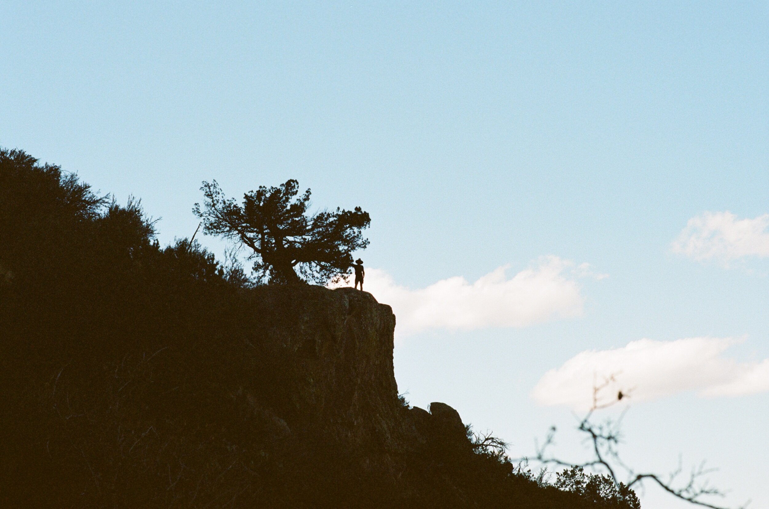
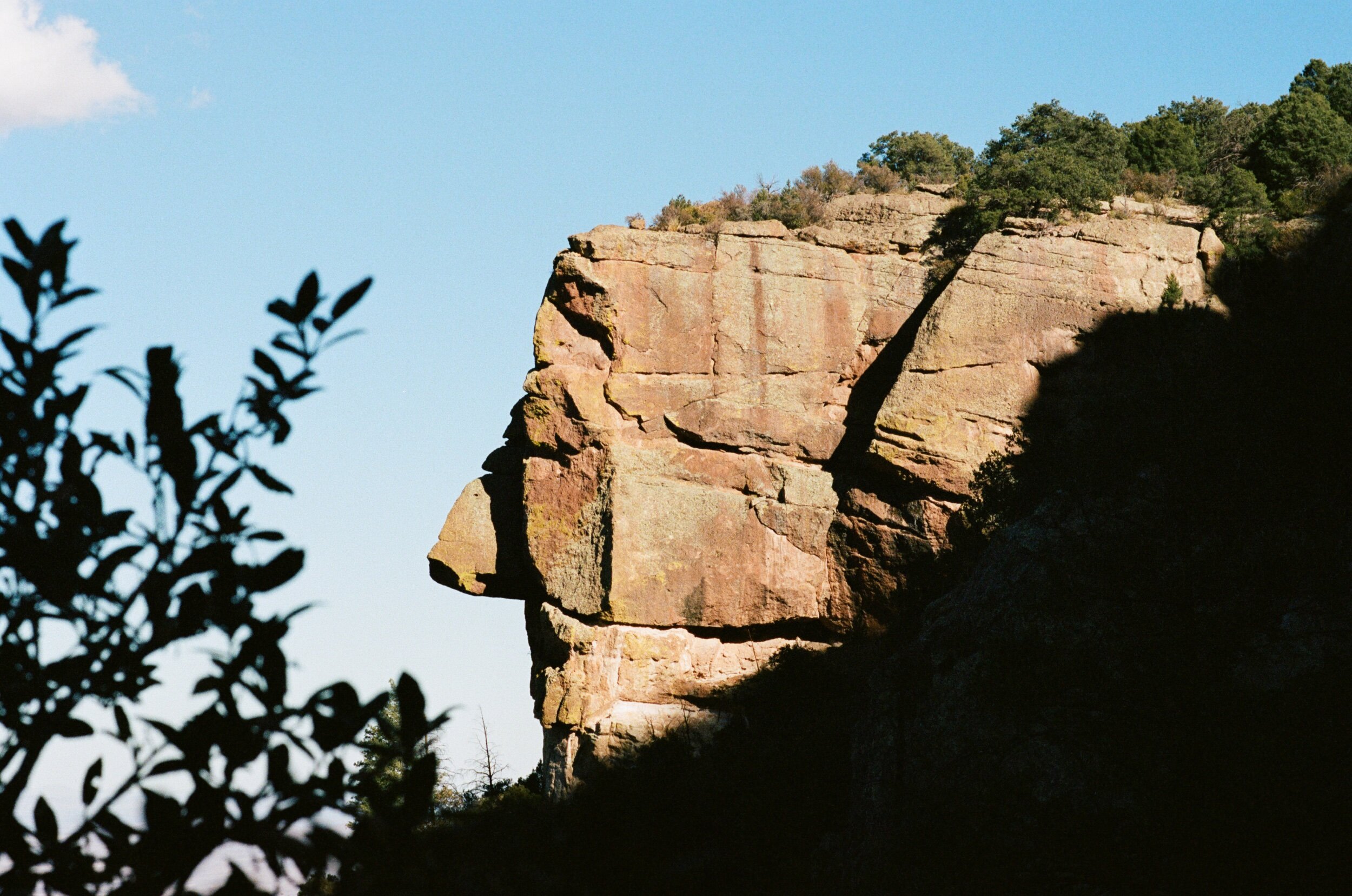
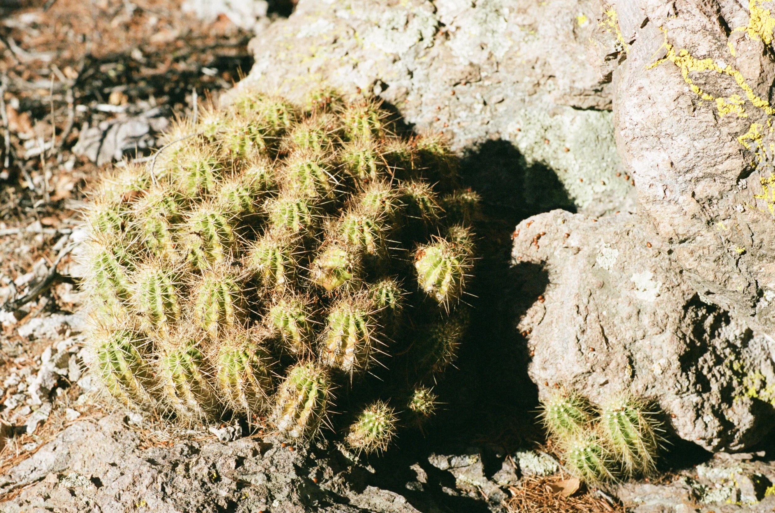
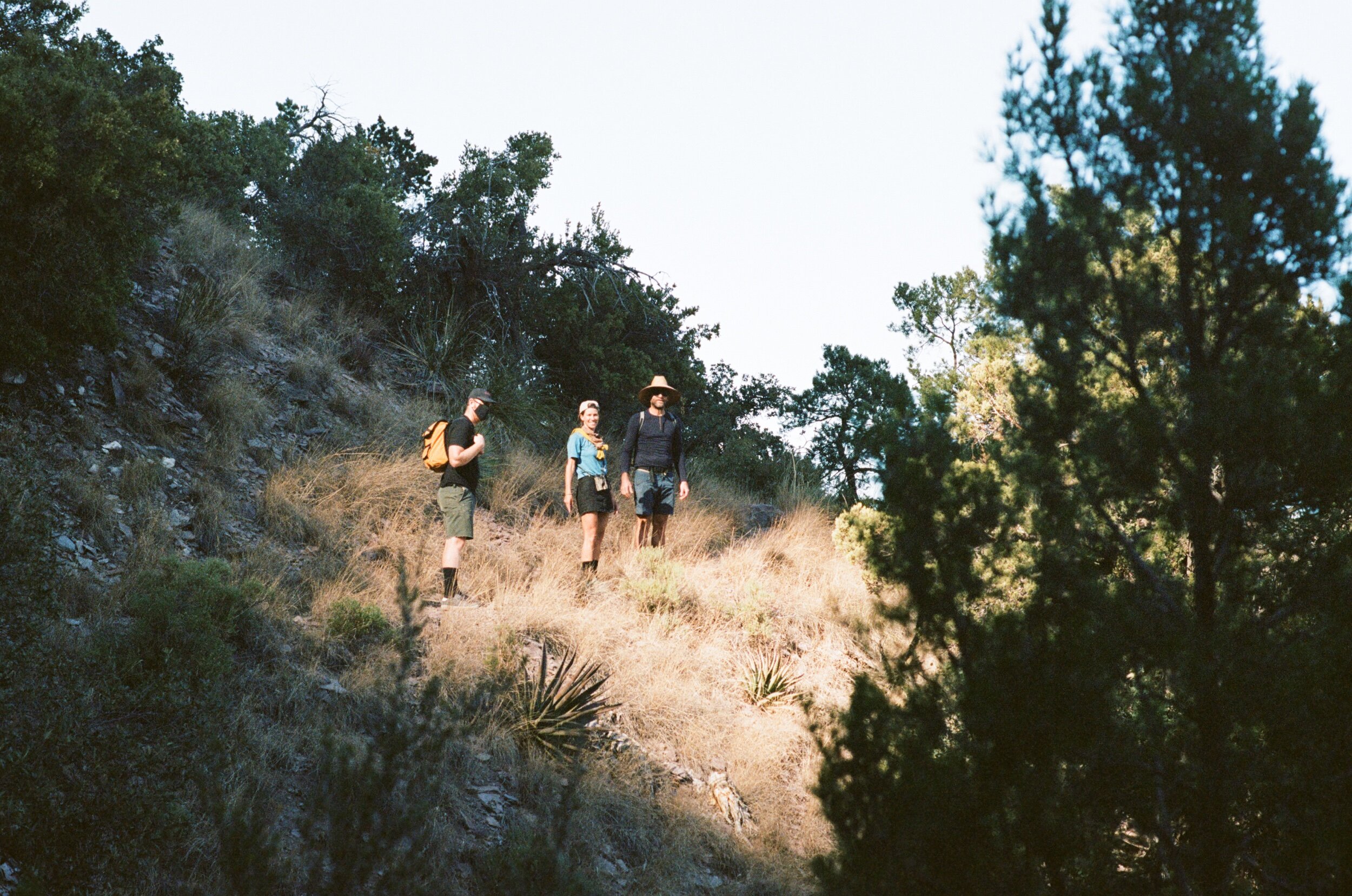
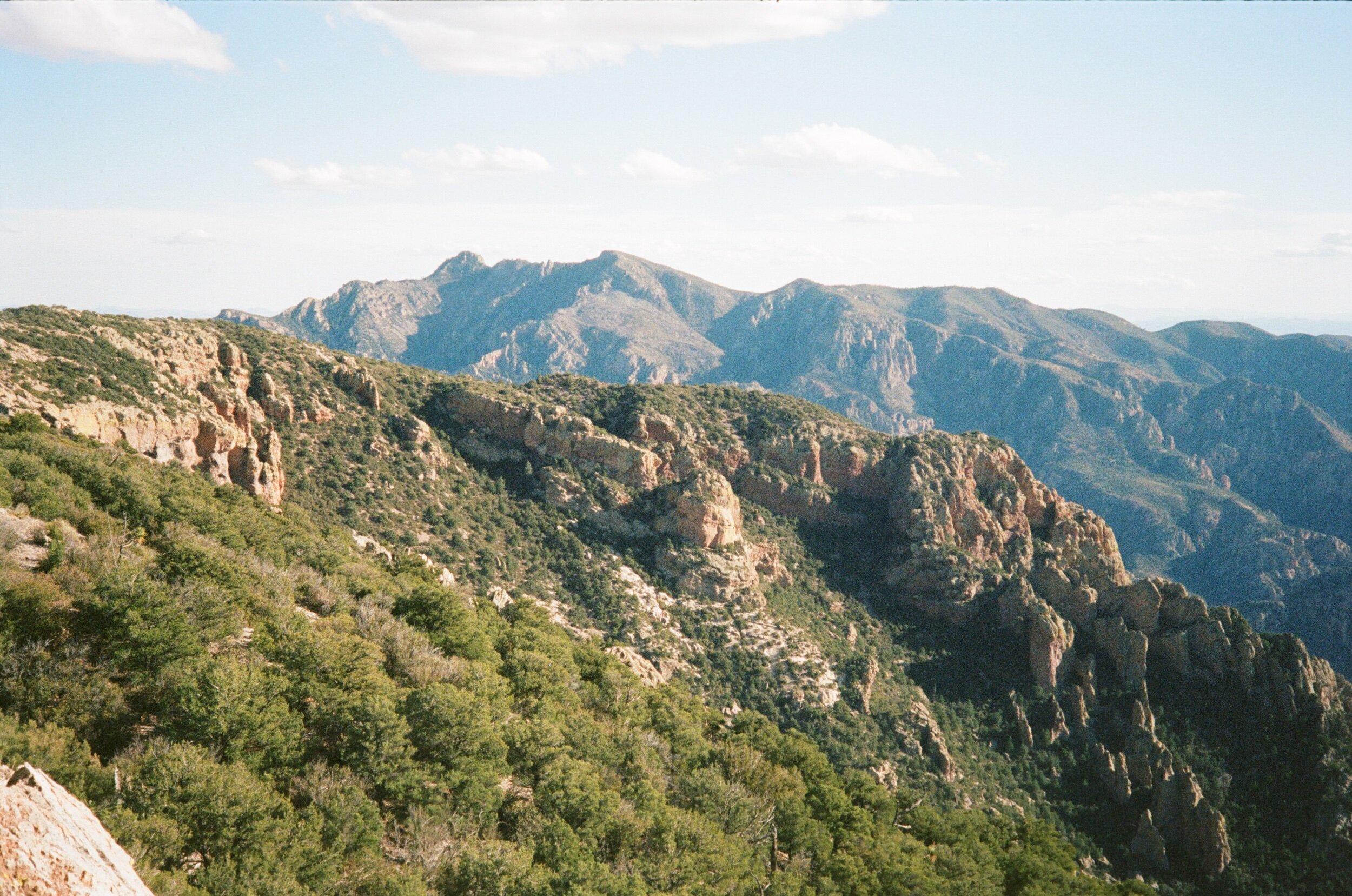
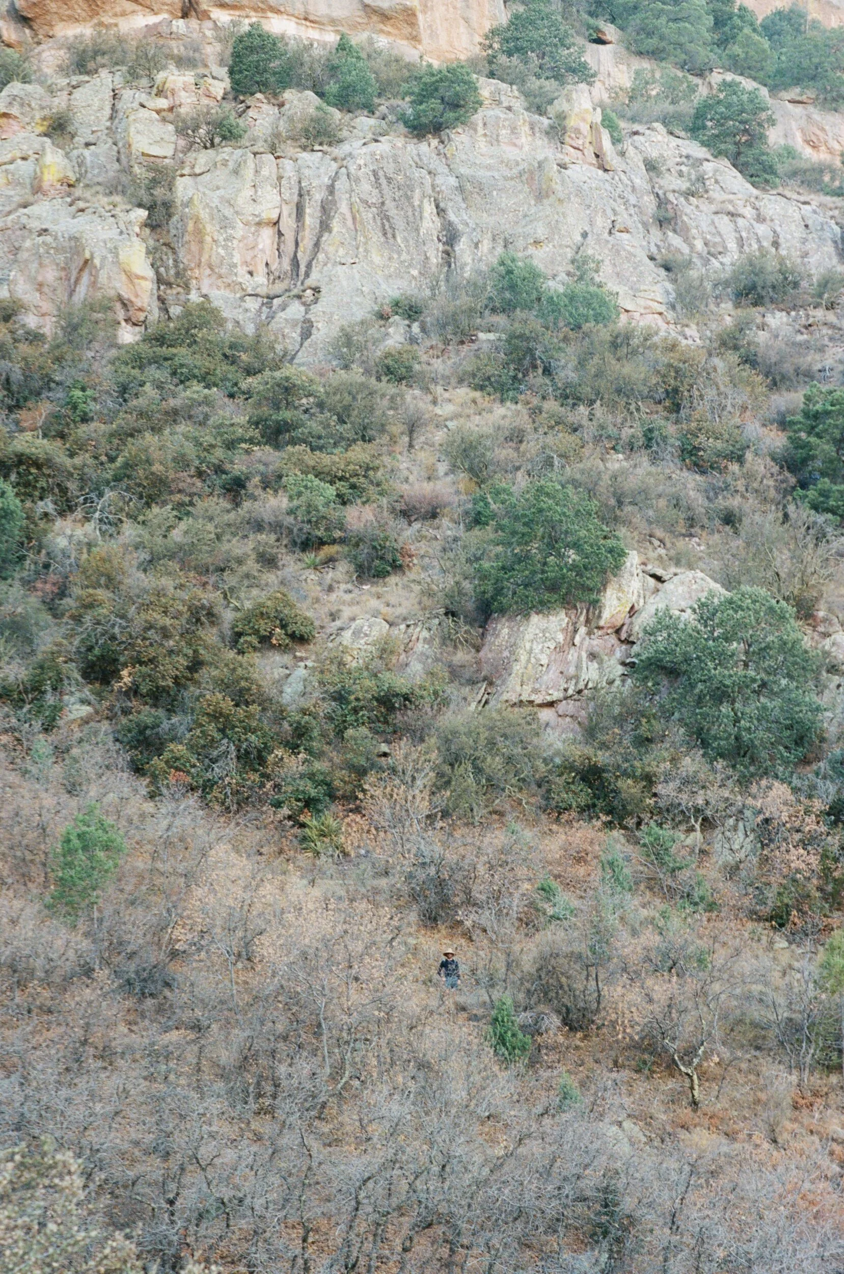
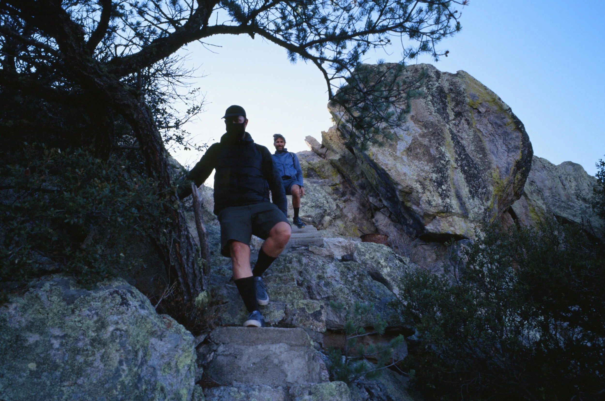
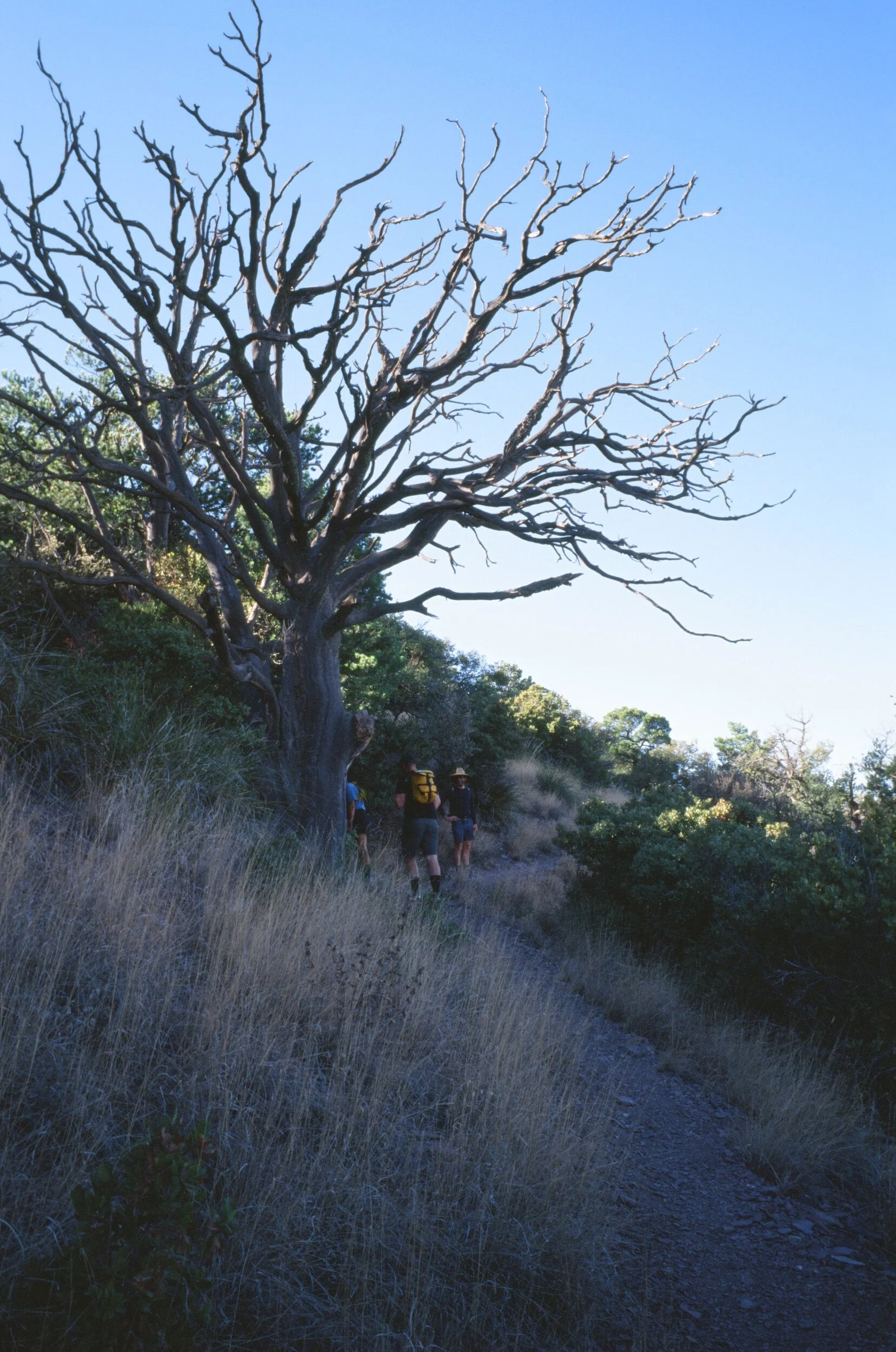
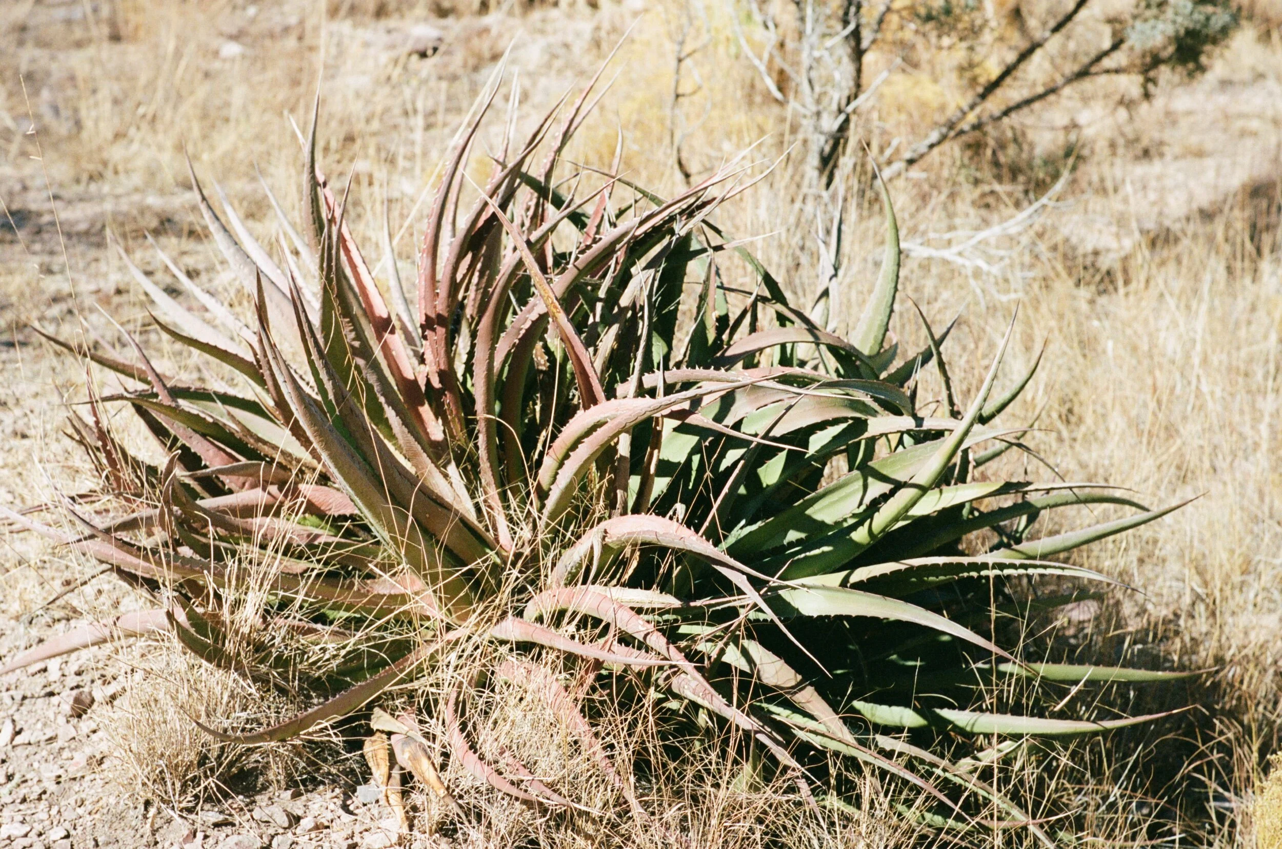
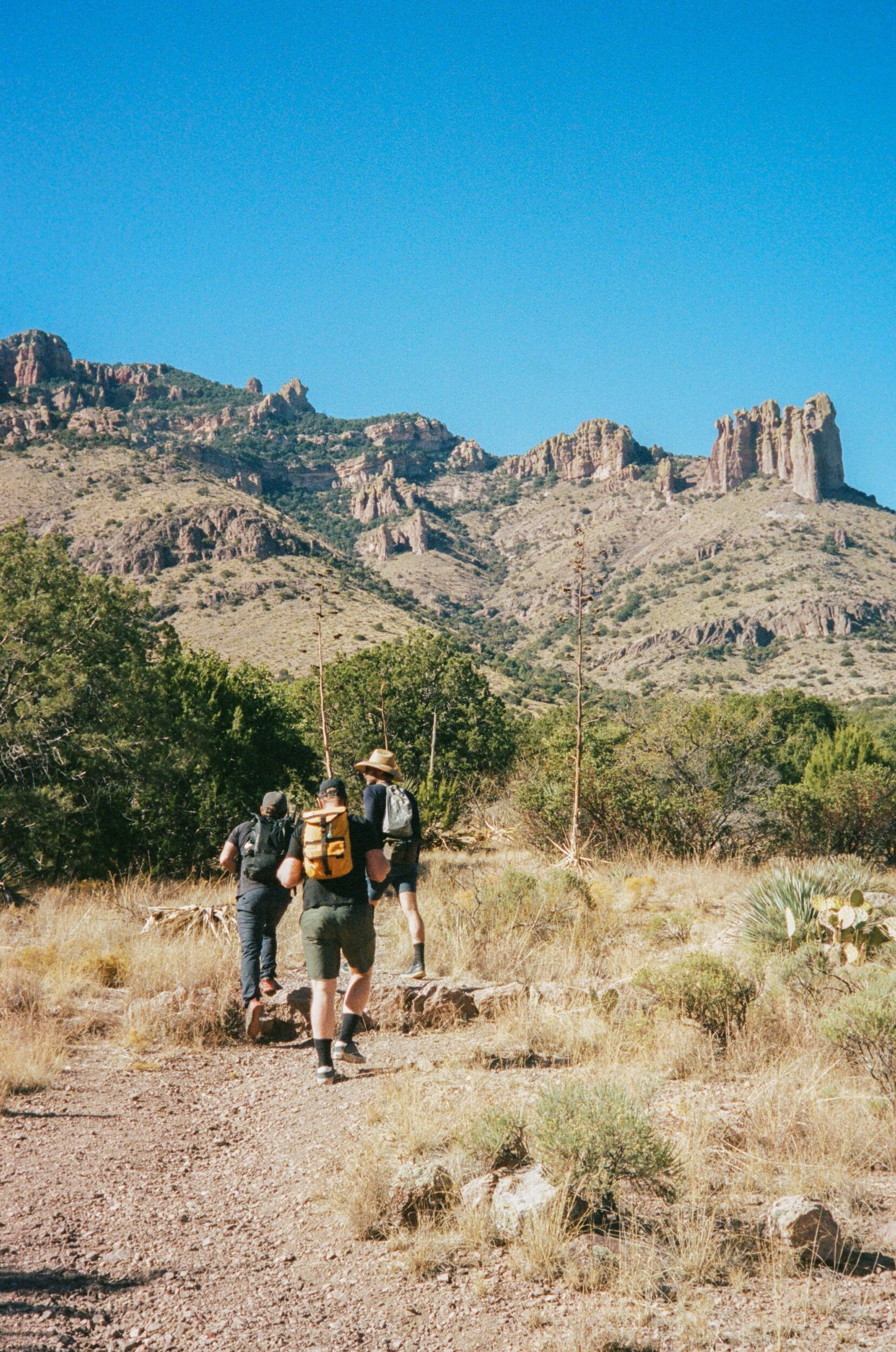
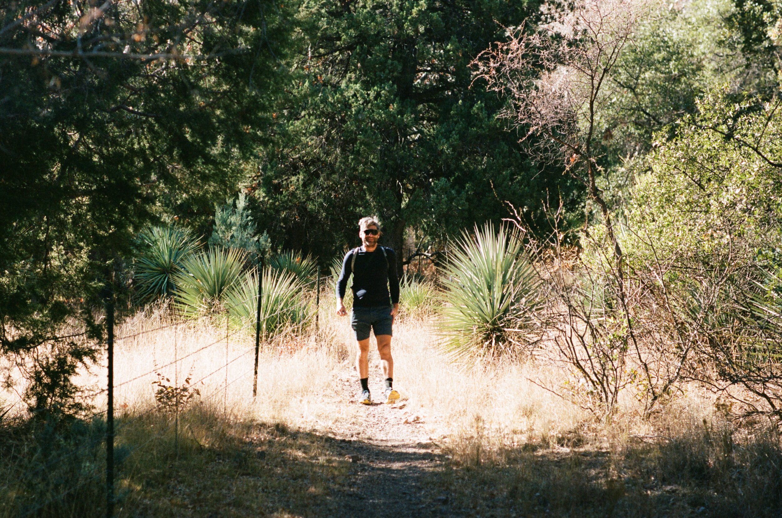
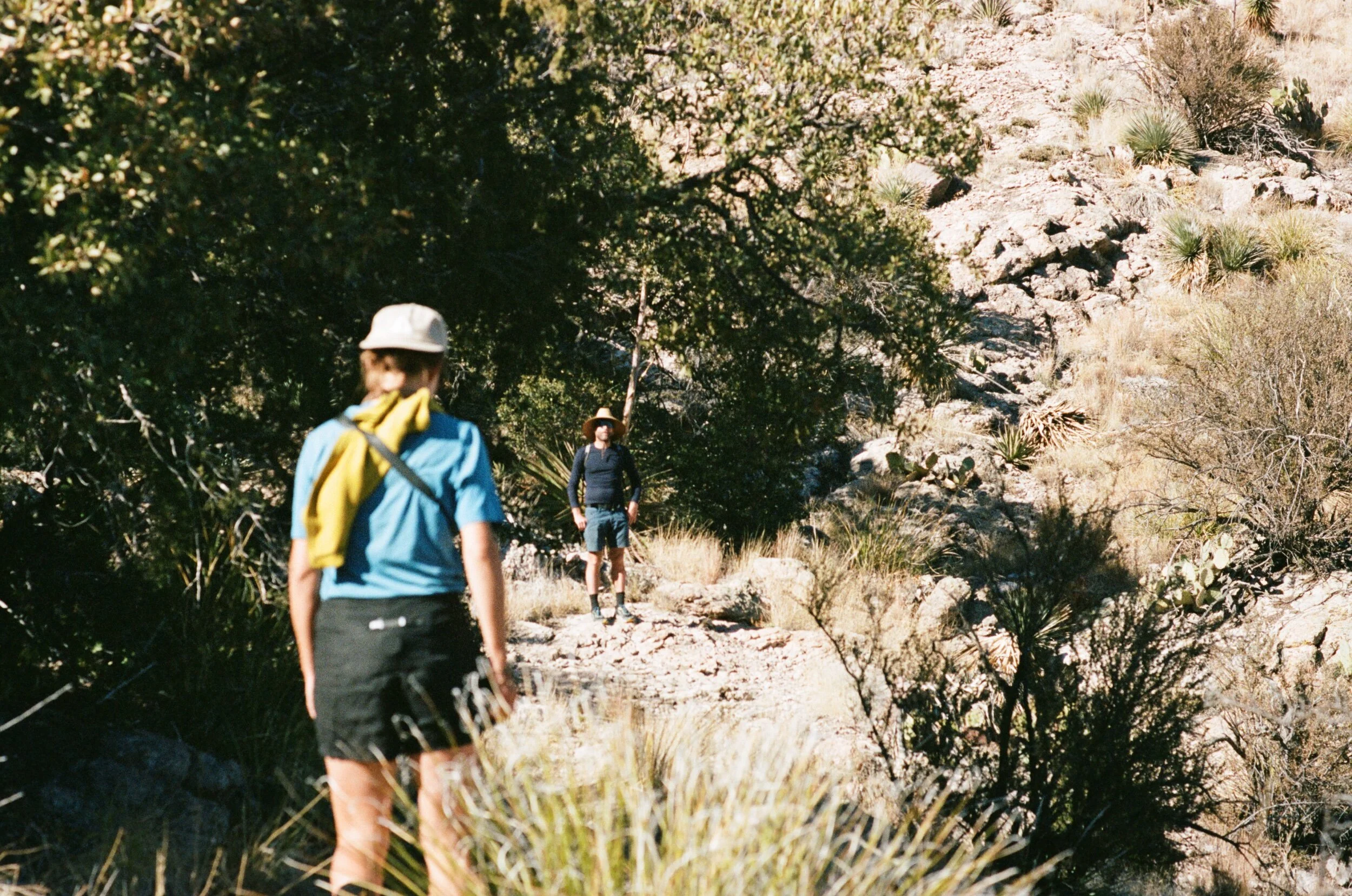
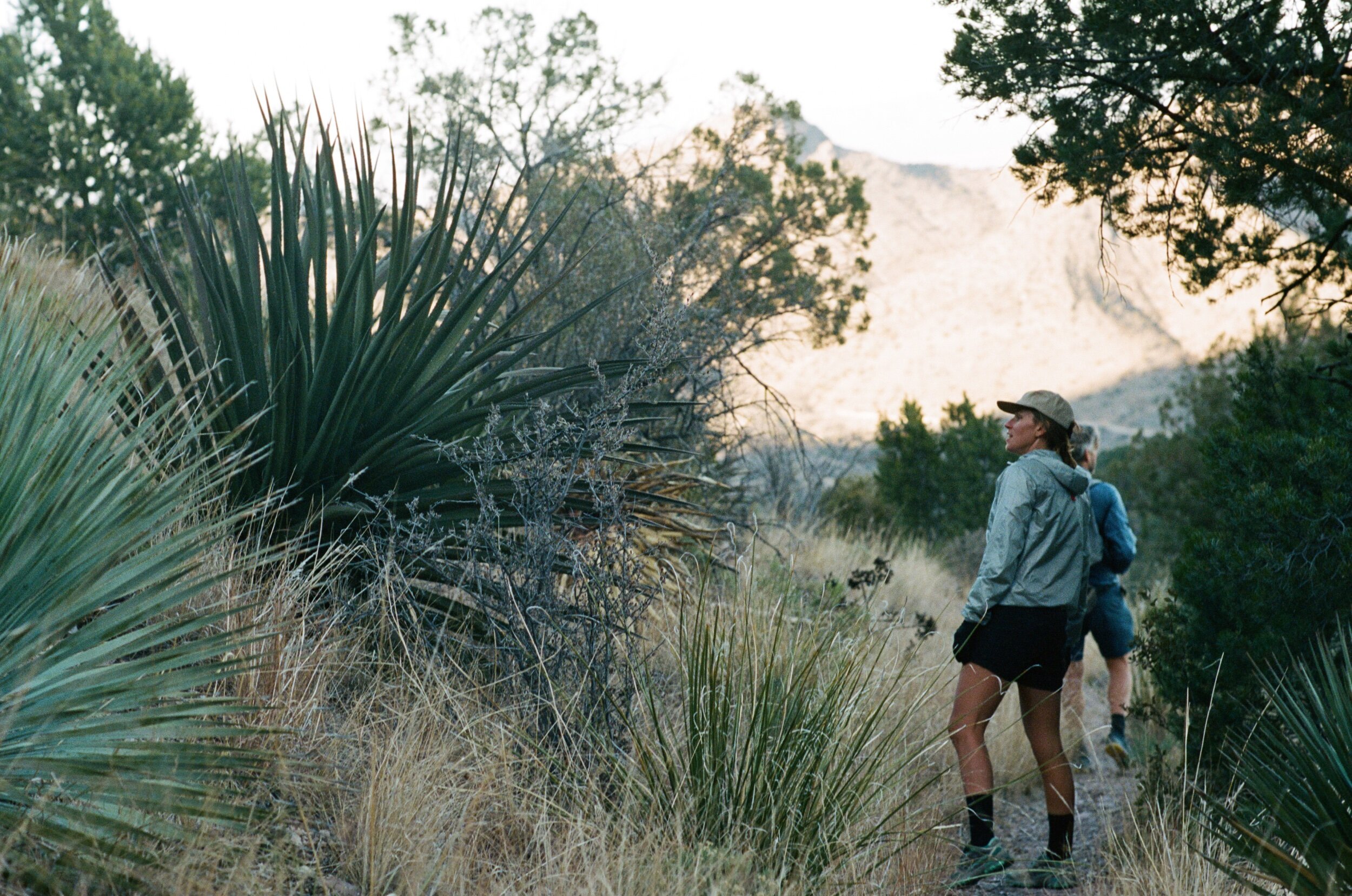
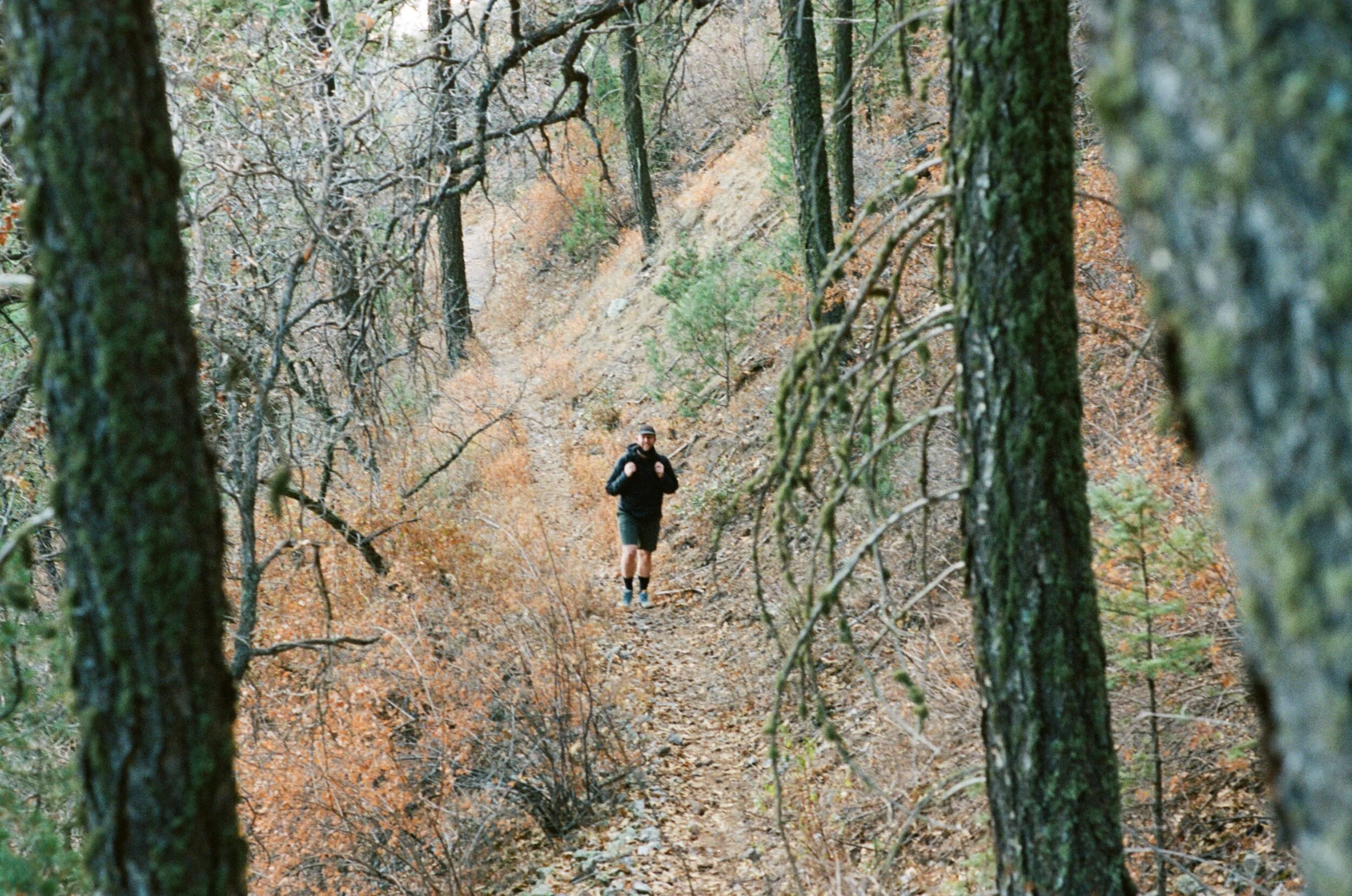
I'm not much of a hiker to be honest, and I quickly fell off the back. I did what I could to manipulate the group to slow down to my pace by positioning myself toward the front of the line, engaging in deep conversation, stopping to look through my binoculars, and taking pictures. If you are a slow hiker like me, give this strategy a try sometime - it works. The trail meandered at a low grade. We continued to march slowly up through each of its different biomes, from the low desert cacti to scrub oak, pinyon, and juniper, to eventually ponderosa pines and douglas firs. All the while, we were surrounded by a wonderland of rock faces, pinnacles, towers, steeples, battlements, and obelisks; eroded from layers of ash caused by a volcanic eruption that occurred twenty seven million years ago.
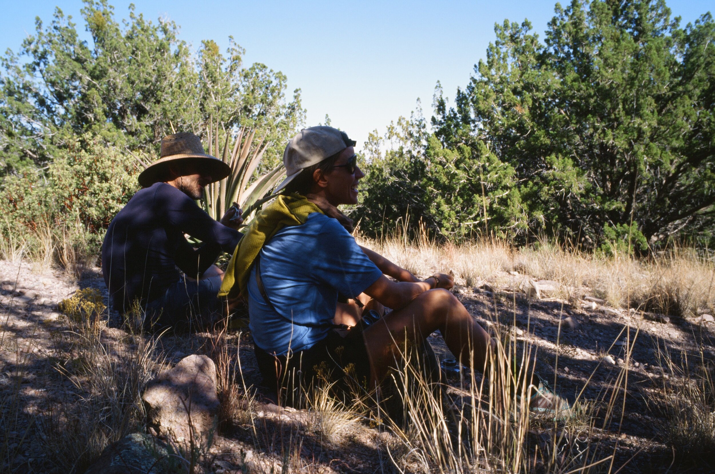
At what felt like halfway through the hike, we took a snack break and checked our progress. To our shock, we saw that we still had 2,000 ft yet to climb. With daylight already dwindling, I knew we could not get to the top and make it down before total darkness, and of course, most of our group did not bring headlights, insulated jackets, or gloves. Despite all of this, no one seemed interested in turning around. I realized at that moment that this hike had just turned into a long, late, and cold adventure, one in which I was the weakest link. I sprang from my seat and started briskly hiking and jogging to the top as fast as I could while the guys continued at their natural conversational pace, just a switchback or two behind me.
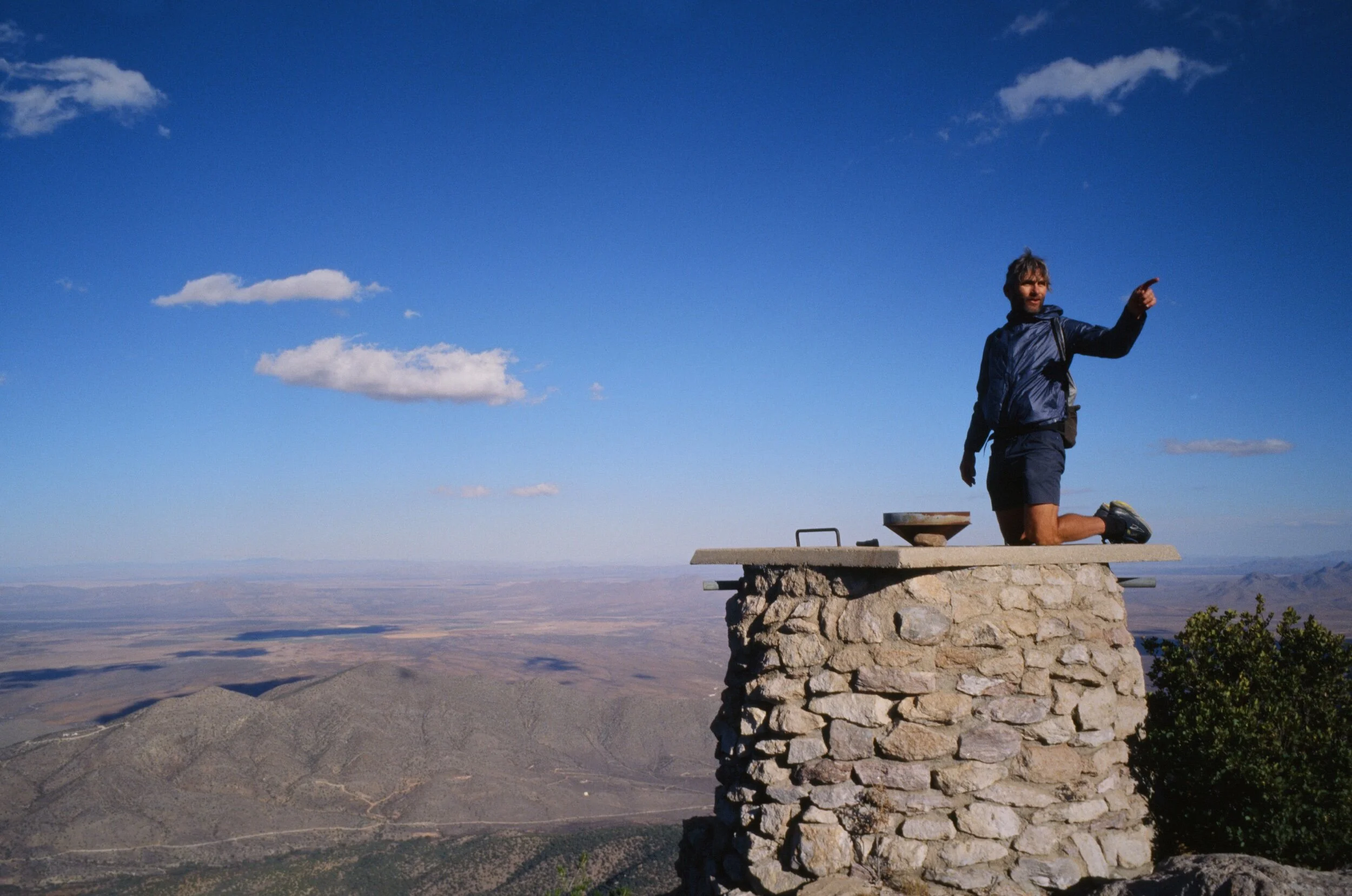
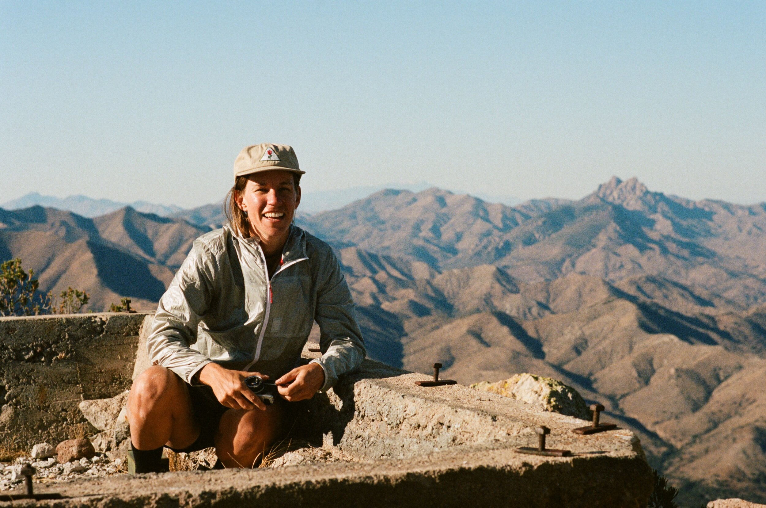
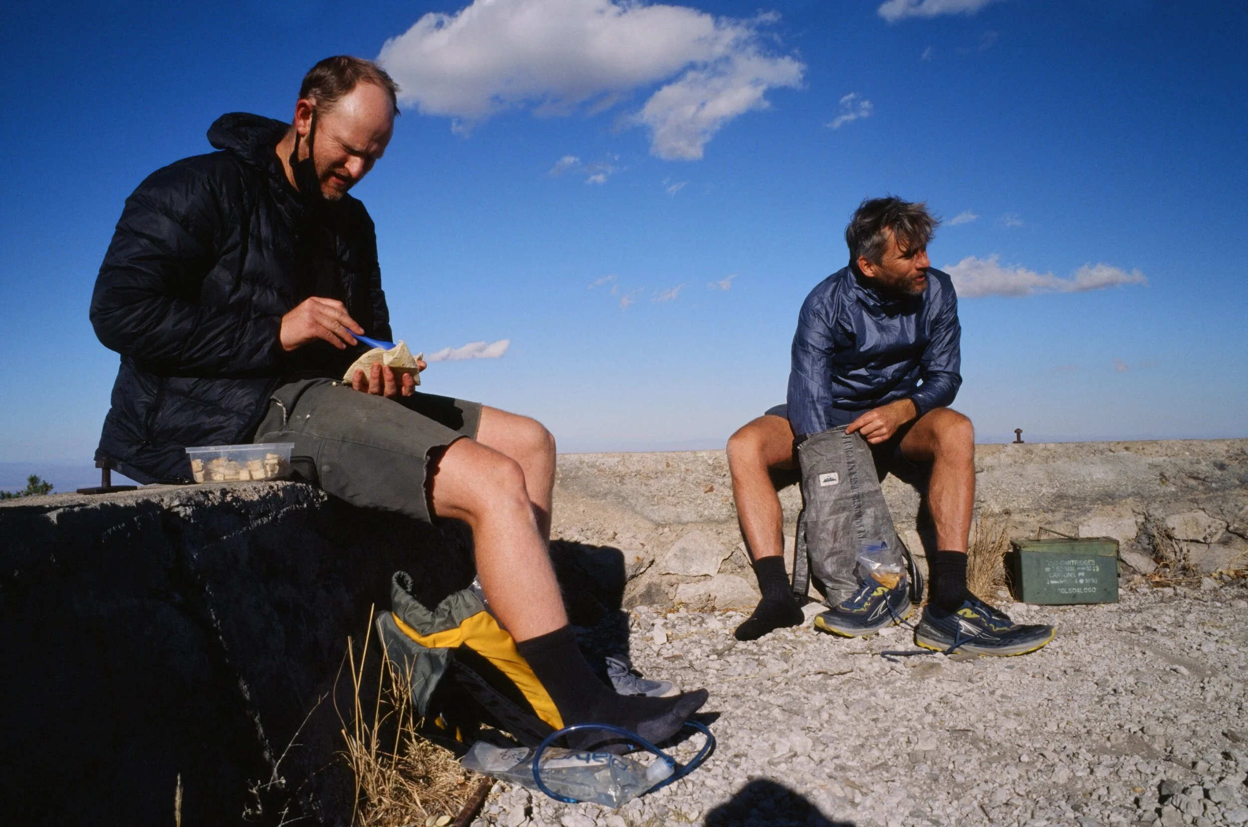
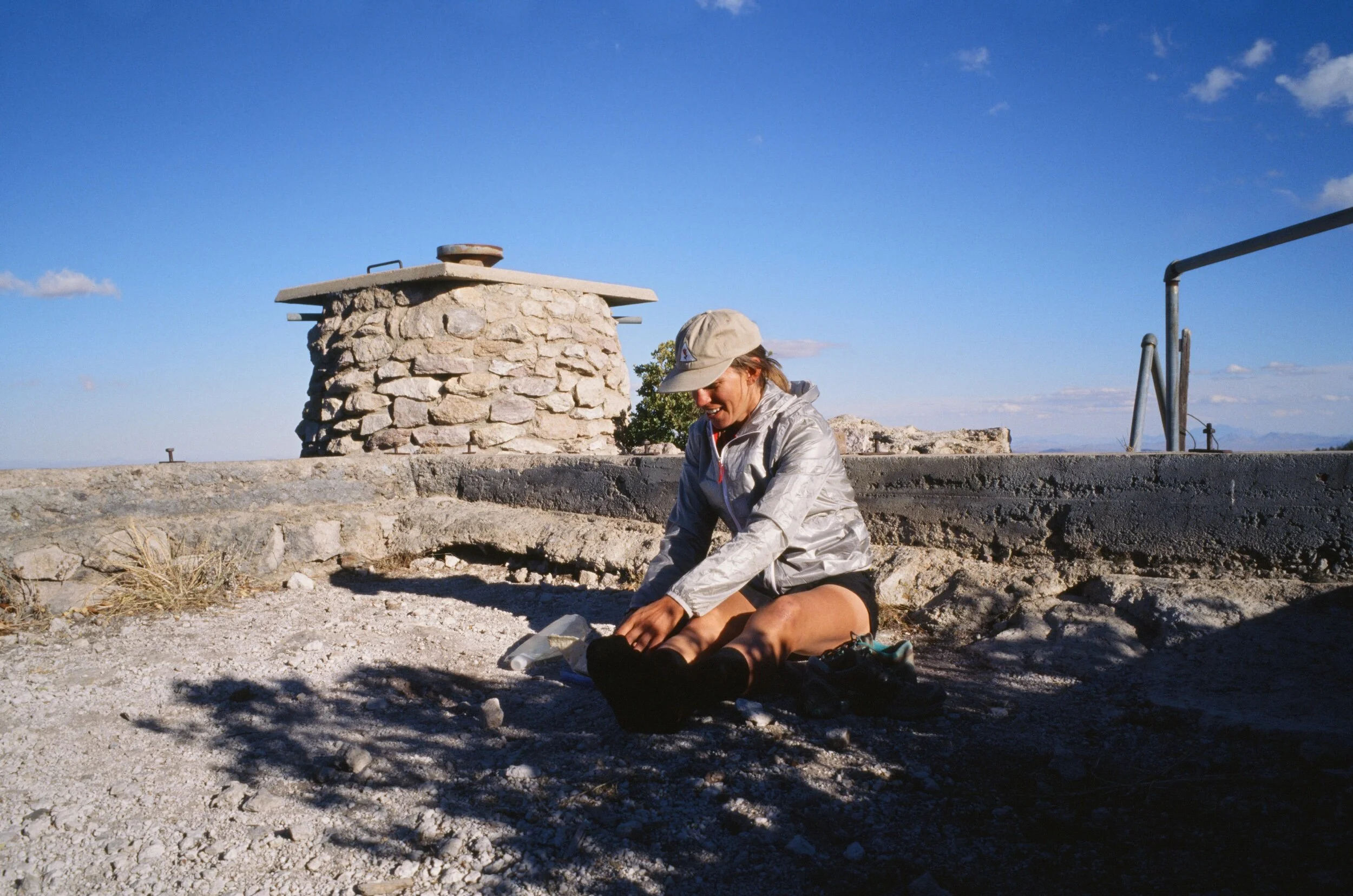
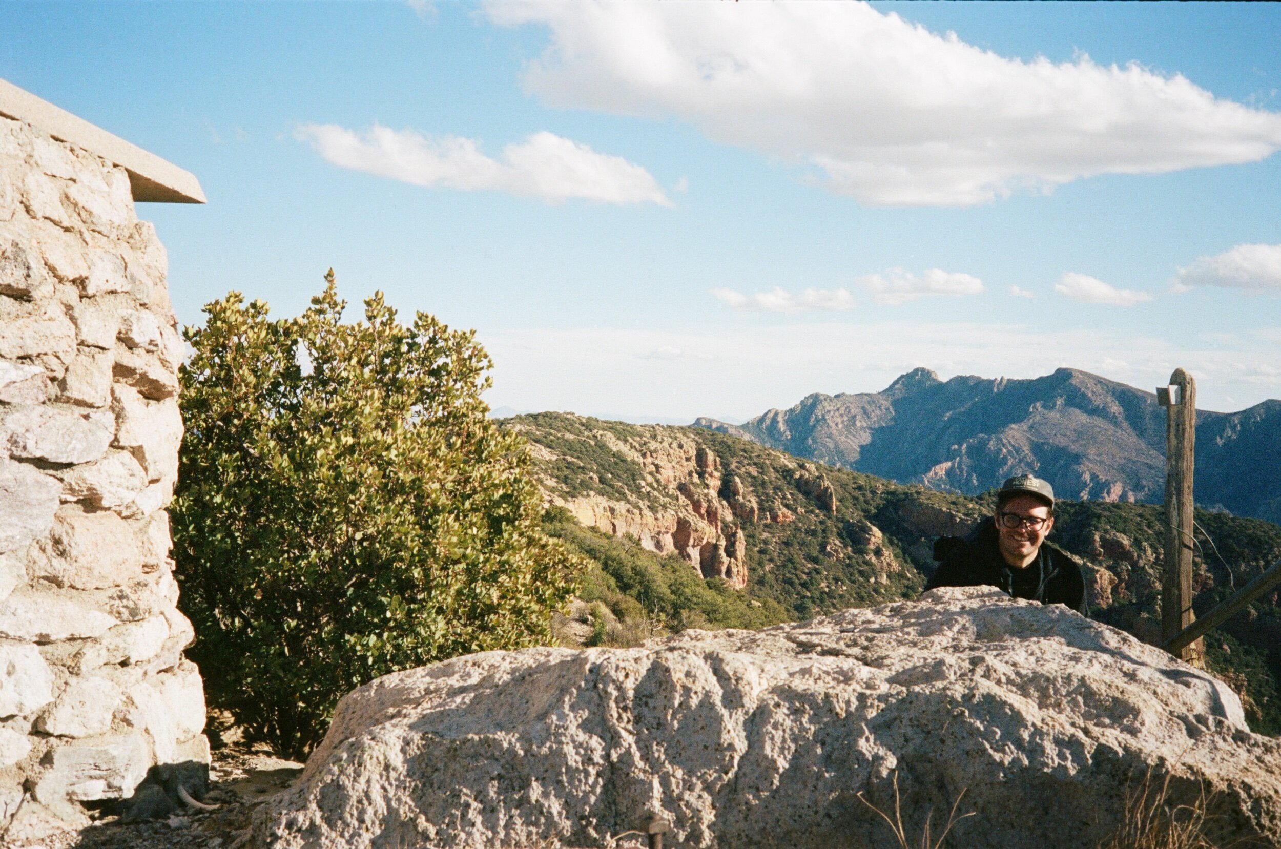
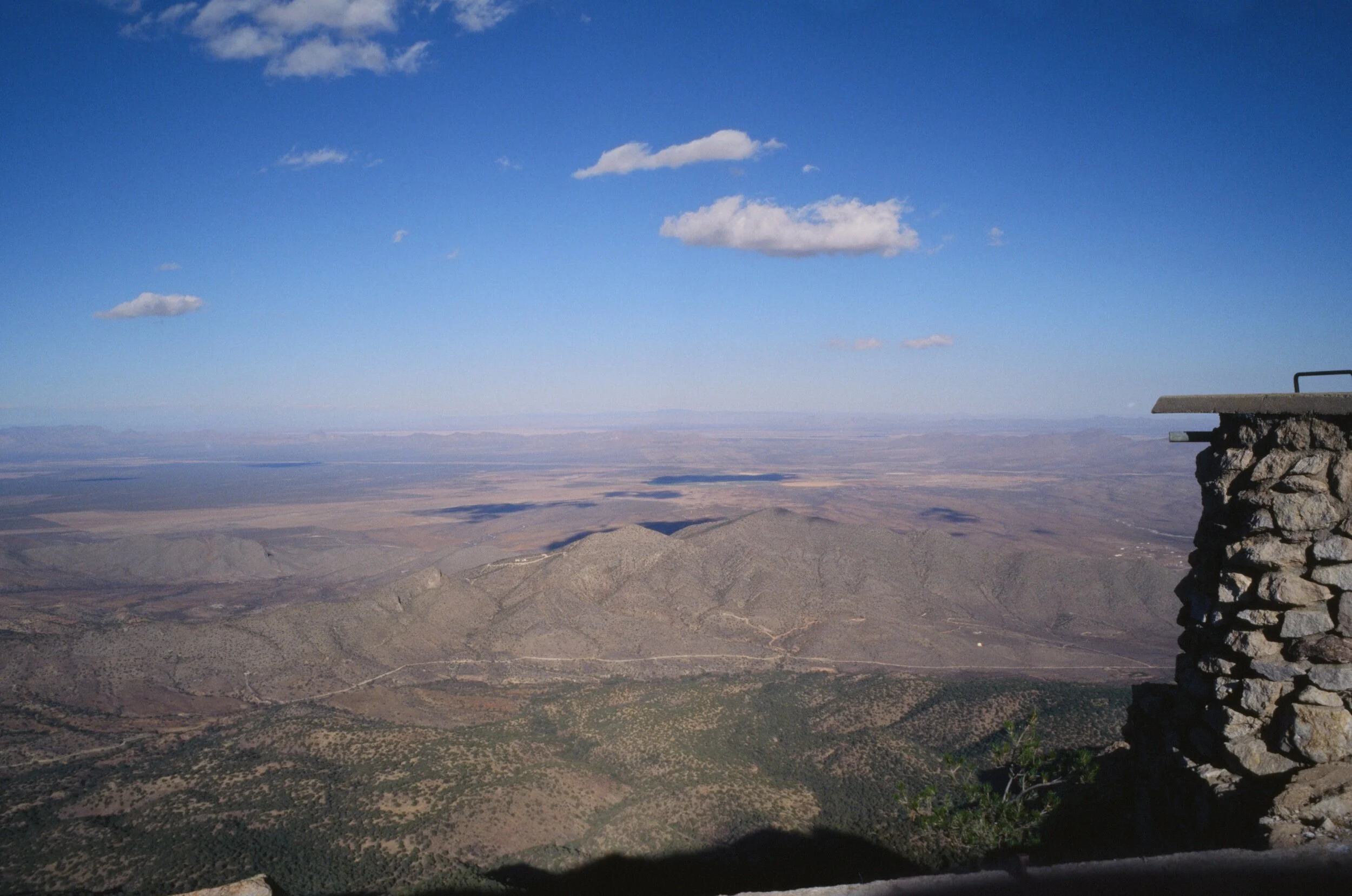
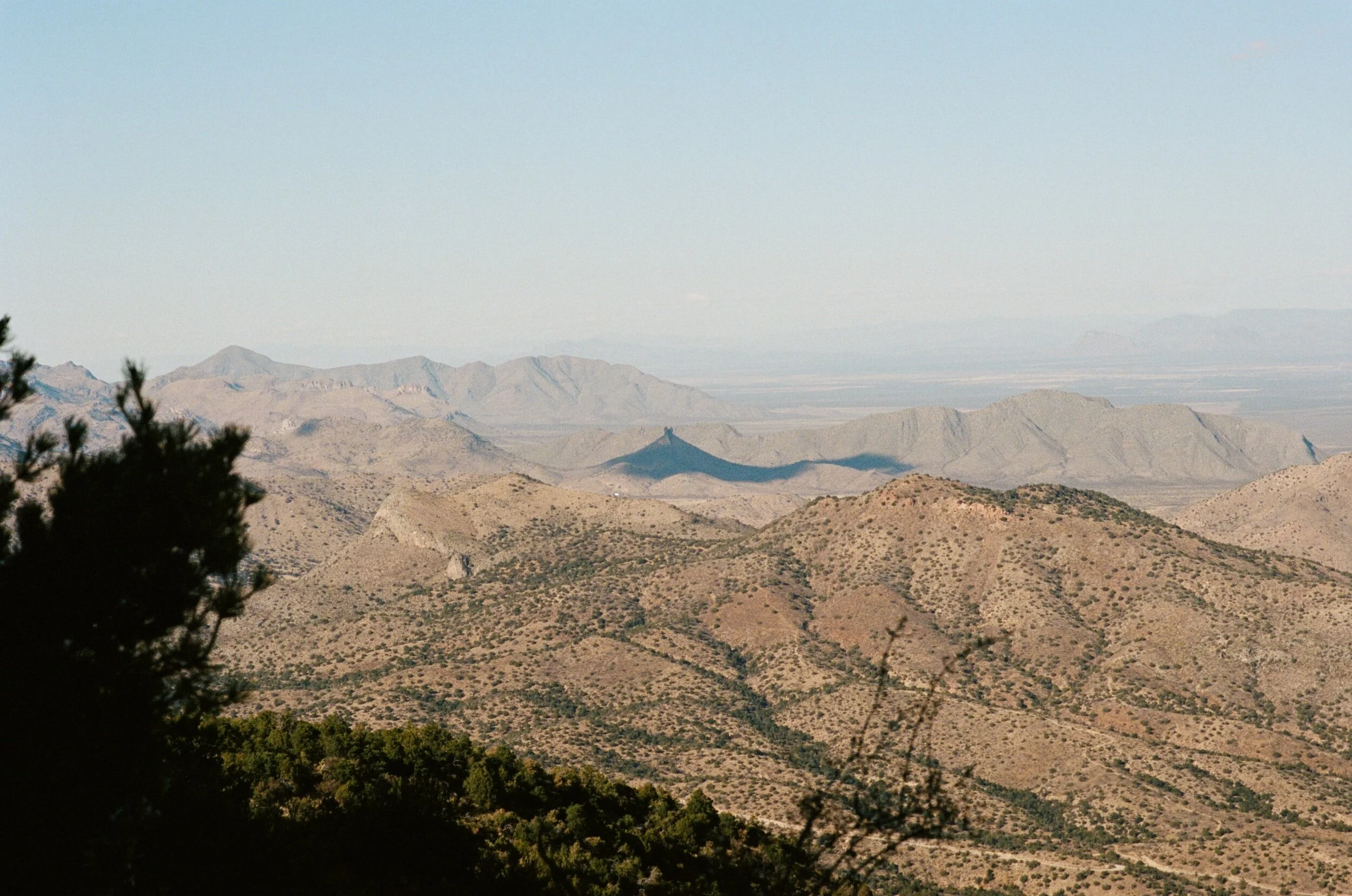
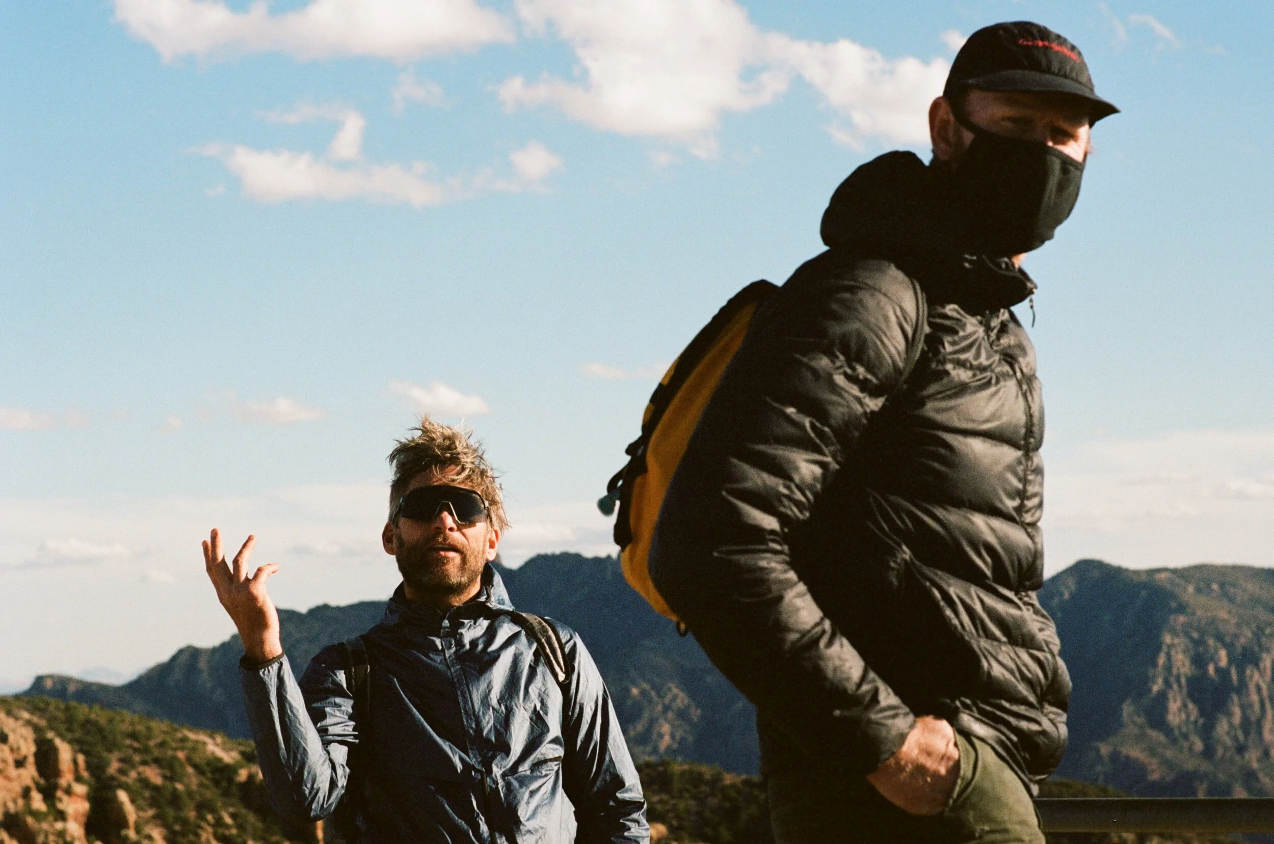
Silver Peak was as glorious as its name. The viewpoint provided spanned far south into Mexico and across the broad San Simon Valley of New Mexico. These are views you can't get from the seat of your bicycle. After a short break to eat a late lunch and rest our tired feet, we started the trek/hike/tramp/trudge down the mountain. The short period of brisk hiking that I had done to reach the top had finally taken its toll as my quadriceps and hips tightened and atrophy set in, necessitating a long, slow, every-person-for-themselves tromp down the mountain. Just as darkness started creeping through the valley, we reached the trailhead, retrieved our bikes from the bushes, and then found ourselves in an awkward standoff with a pack of javelinas devouring a tasty and spiny prickly pear. After they moved along, we pedaled our way back to camp, thoroughly exhausted from a weekend well- lived. We spent our final night connecting beside a fire, a simple experience that we used to take for granted but now cherish as one of the few places it is safer to be together.
The Chiricahua chain offers a quiet escape. Located two and a half hours from Tucson, they will likely stay that way for a while. Still, like any special place like this, the serenity of them will inevitably come under threat in years to come as more people migrate from the big cities to find solace, clean air, and cooler temperatures in this ever-warming planet. When it is safe to do so, get out there and enjoy it for yourself, but please do what you can to help keep this place a viable habitat for all living things to coexist, thrive, and enjoy peacefully by leaving no trace and donating what you can.

