Dirt Republic
The longest off-road route in the United States was designed for motorcycles, making tackling it on bikes even more sporting
Story for Adventure Journal Issue 03 by Sarah Swallow. Photos by Tom Swallow and Sarah Swallow
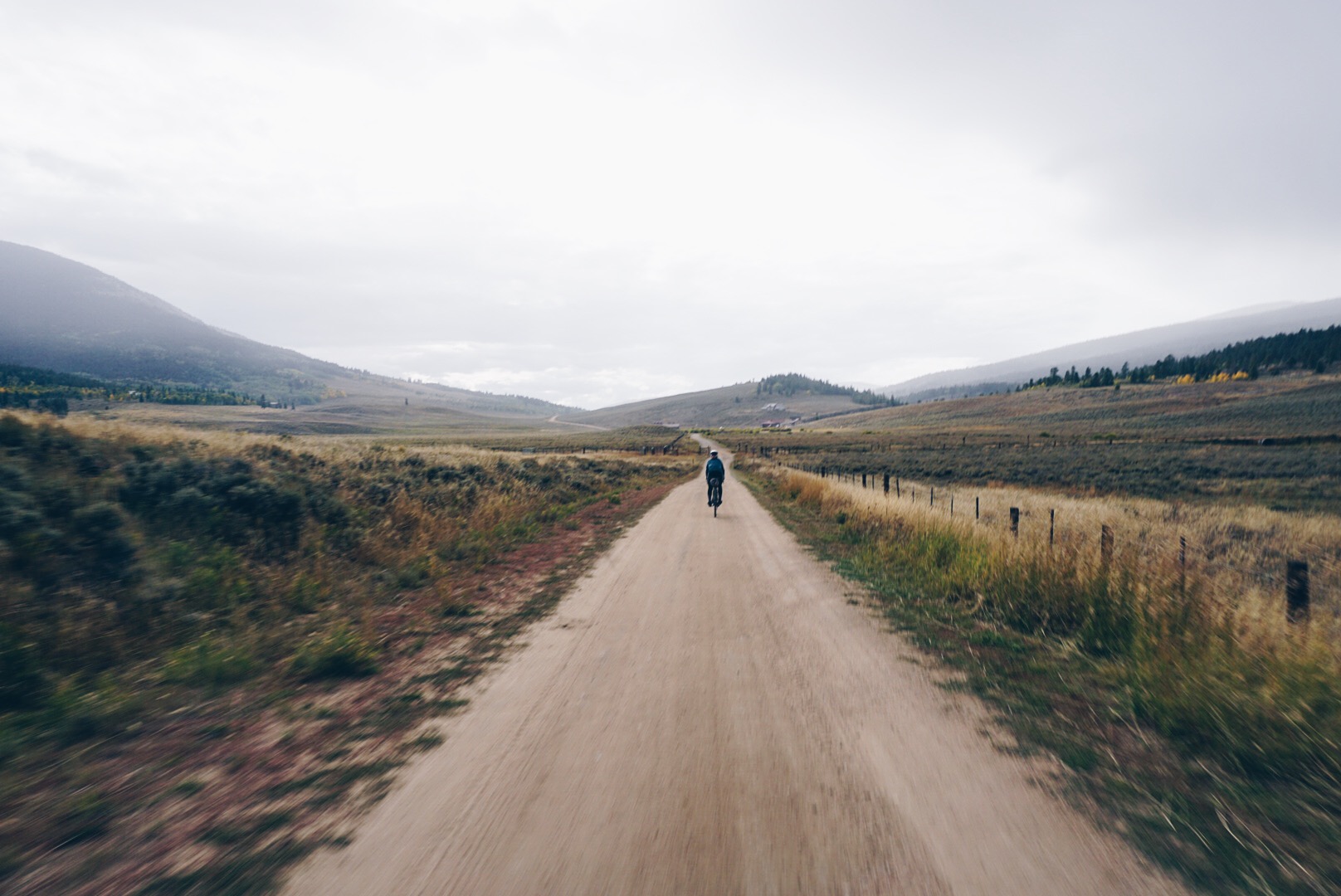
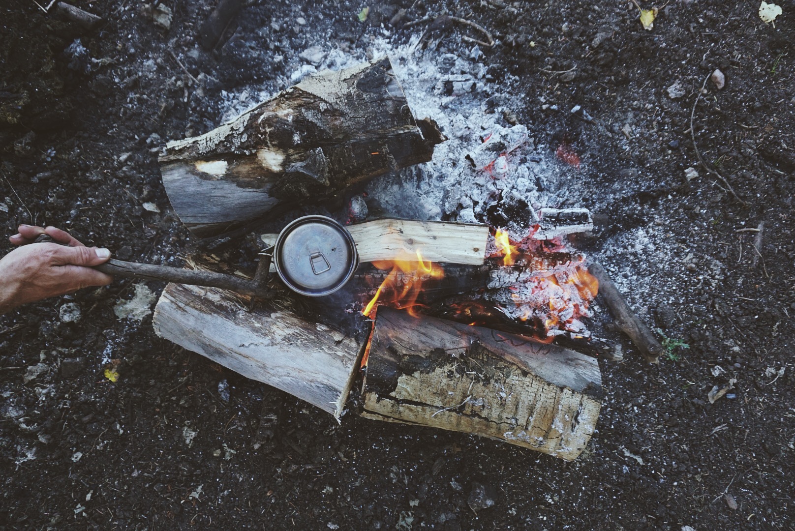
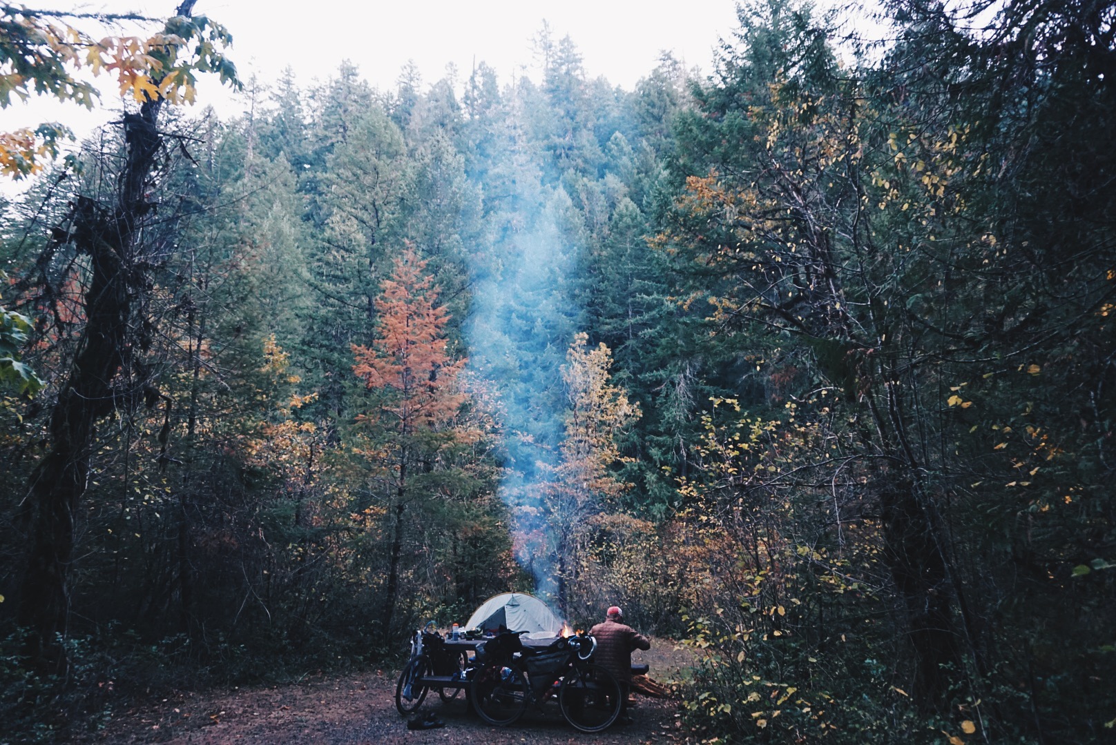
I’m dreaming about home, my cat, and my bed. My down mummy bag is snug around me and everything is warm except my face, which is exposed to the crisp, cold air. I’m toasty, my face is frosty, I can smell coffee, and it’s getting brighter by the minute, which means it’s time to get moving. Soon it will be warm everywhere and we have a big day ahead. There are 70 miles of loose, steep, mountain dirt to cross, with no prospective water sources, and we have to make it to the next town to restock our food. It’ll be the first town in 140 miles and two days. After that, it’s another 140 miles until the next one. How long will that stretch take us? Two days? Three? I don’t want to think about it, so I burrow down, but my husband Tom tugs at the tent door and holds out a cup of coffee and a bowl of apple cinnamon granola cooked in hot water. Looks like it’s the start of another beautiful day on the Trans-America Trail.
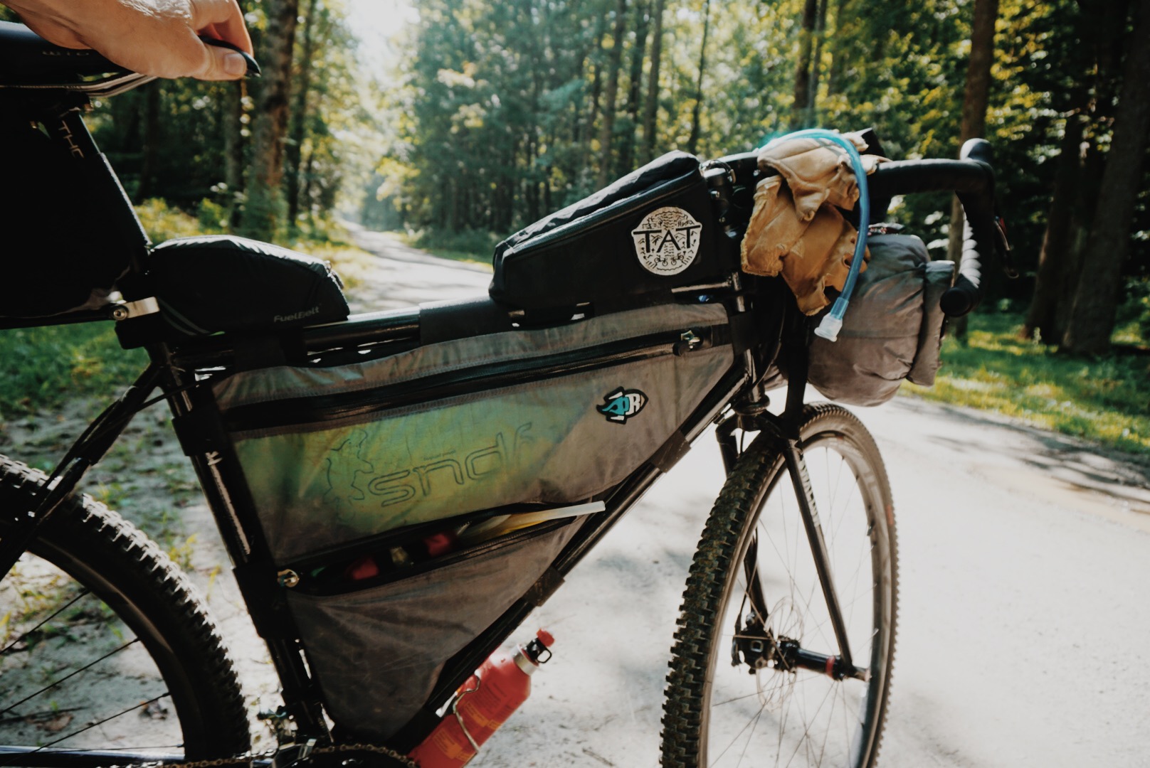
There are plenty of options if you want to cross America on dirt, so long as you’re going north to south or south to north. Hikers have three major routes, the Appalachian, Continental Divide, and Pacific Crest trails, and mountain bikers have the 2,768-mile Great Divide Mountain Bike Route. Going the long way, though, east-west, there’s historically been just one well-traveled path, and it’s covered in pavement—the TransAmerica Trail, developed in 1976 for a group ride called Bikecentennial and promoted since then by the Adventure Cycling Association. There’s another option, though, and it’s all dirt: the Trans-America Trail. That hyphen makes all the difference. The TAT we’re riding is a whopping 5,400 miles of dirt roads, gravel roads, forest roads, and jeep trails. It’s nearly twice as long as the Great Divide and has only a few short stretches of asphalt. But don’t be surprised if you haven’t heard of it. The route was designed by a dual sport motorcycle enthusiast unfamiliar with the cycling route (hence the name overlap), making it popular among the community of adventure riders, overlanders, and ATVers but relatively unknown and seldom considered by bicyclists until just the last year or two, when the boom in bikepacking began to put it on their radar.
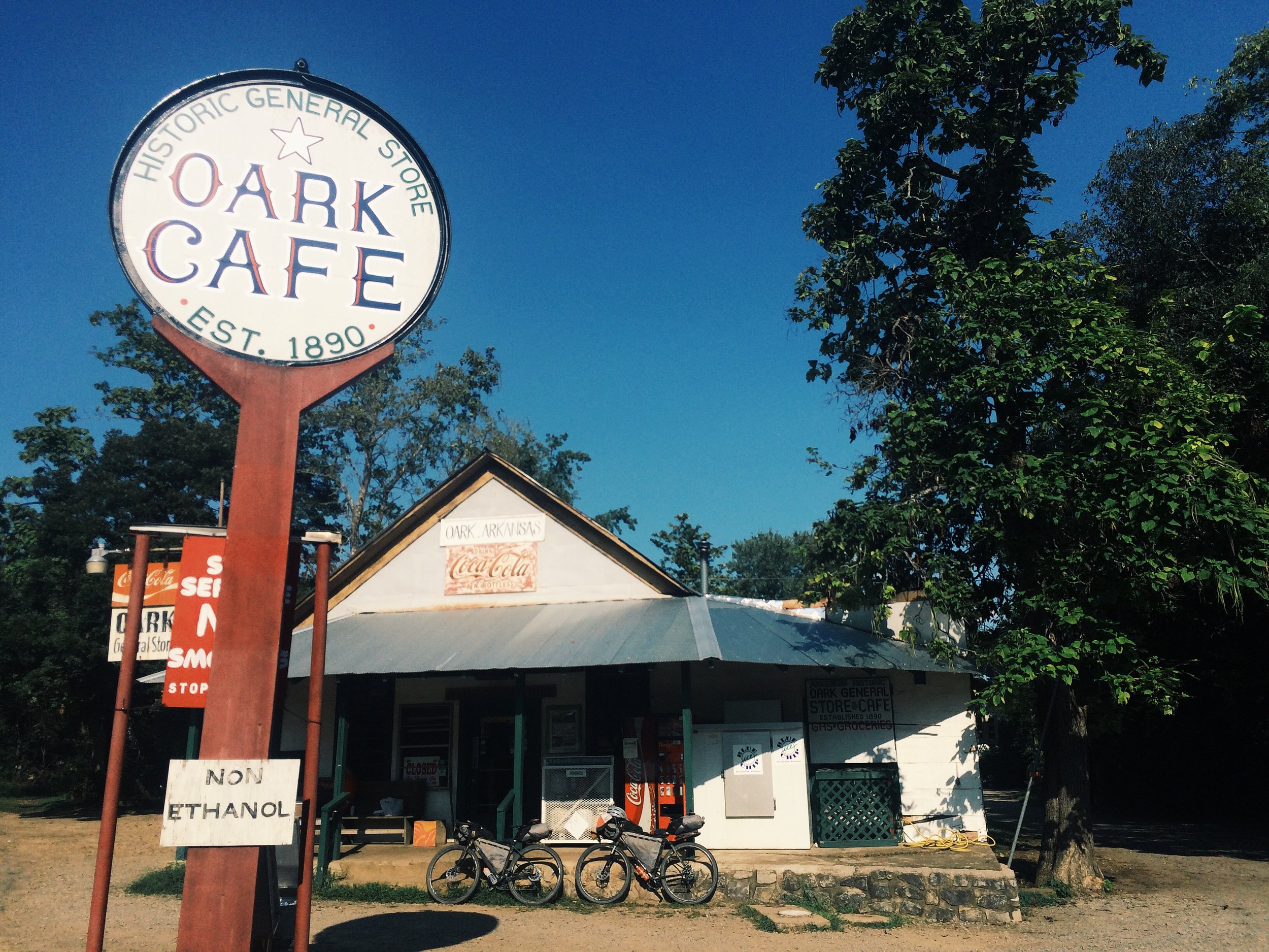
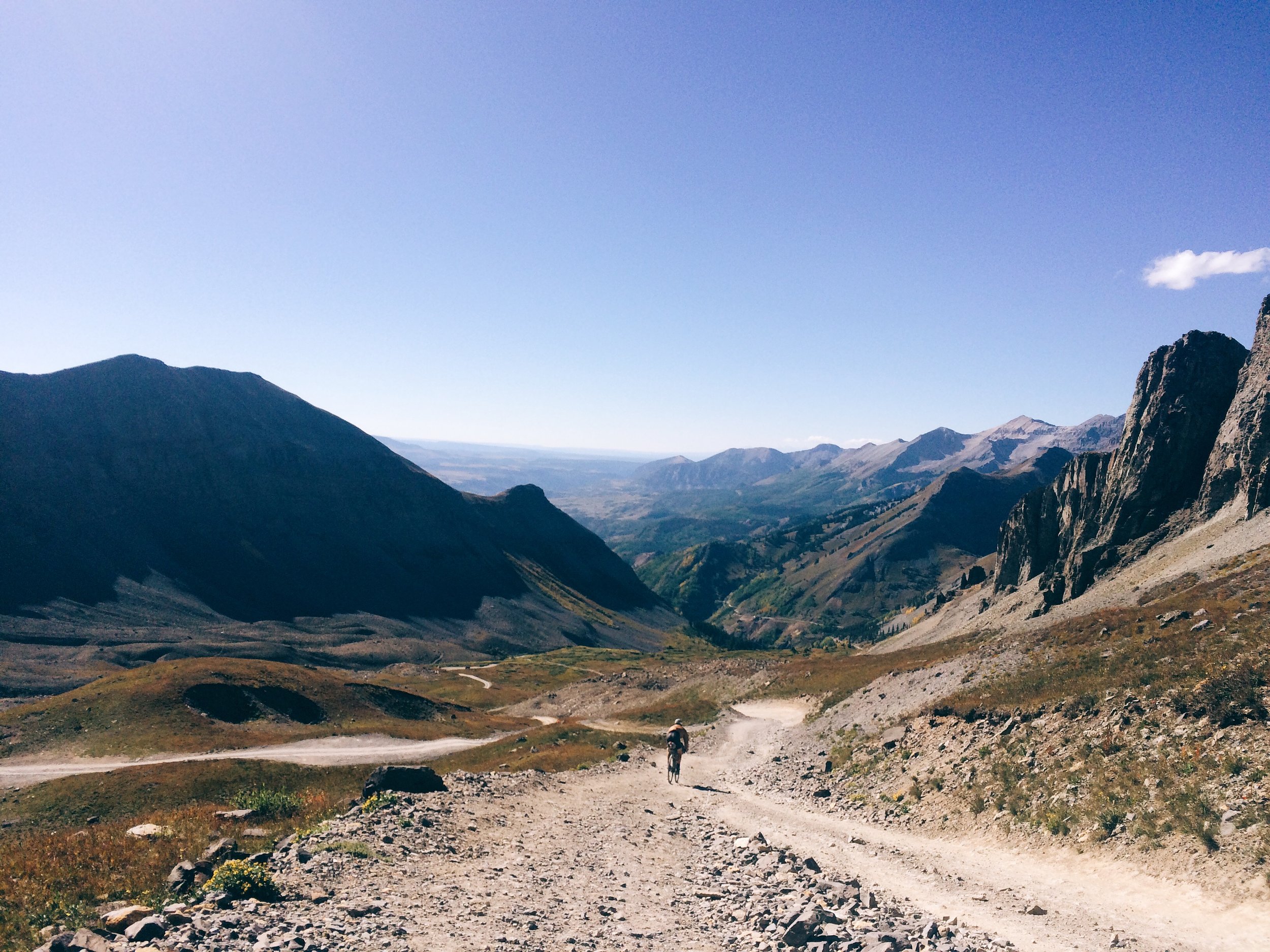
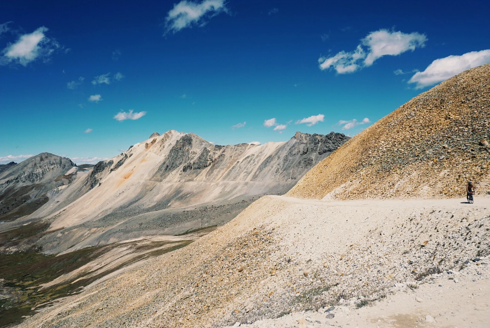
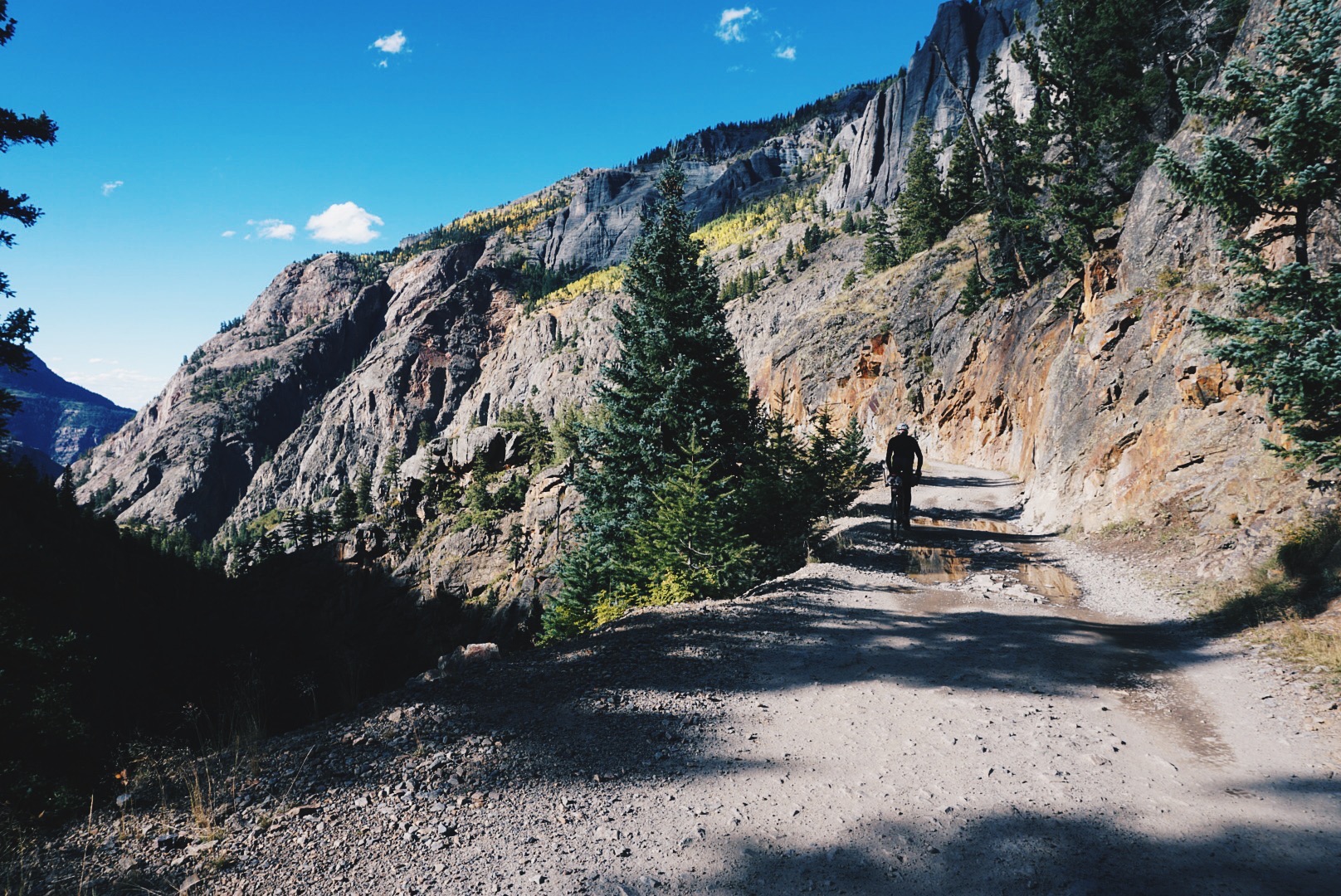
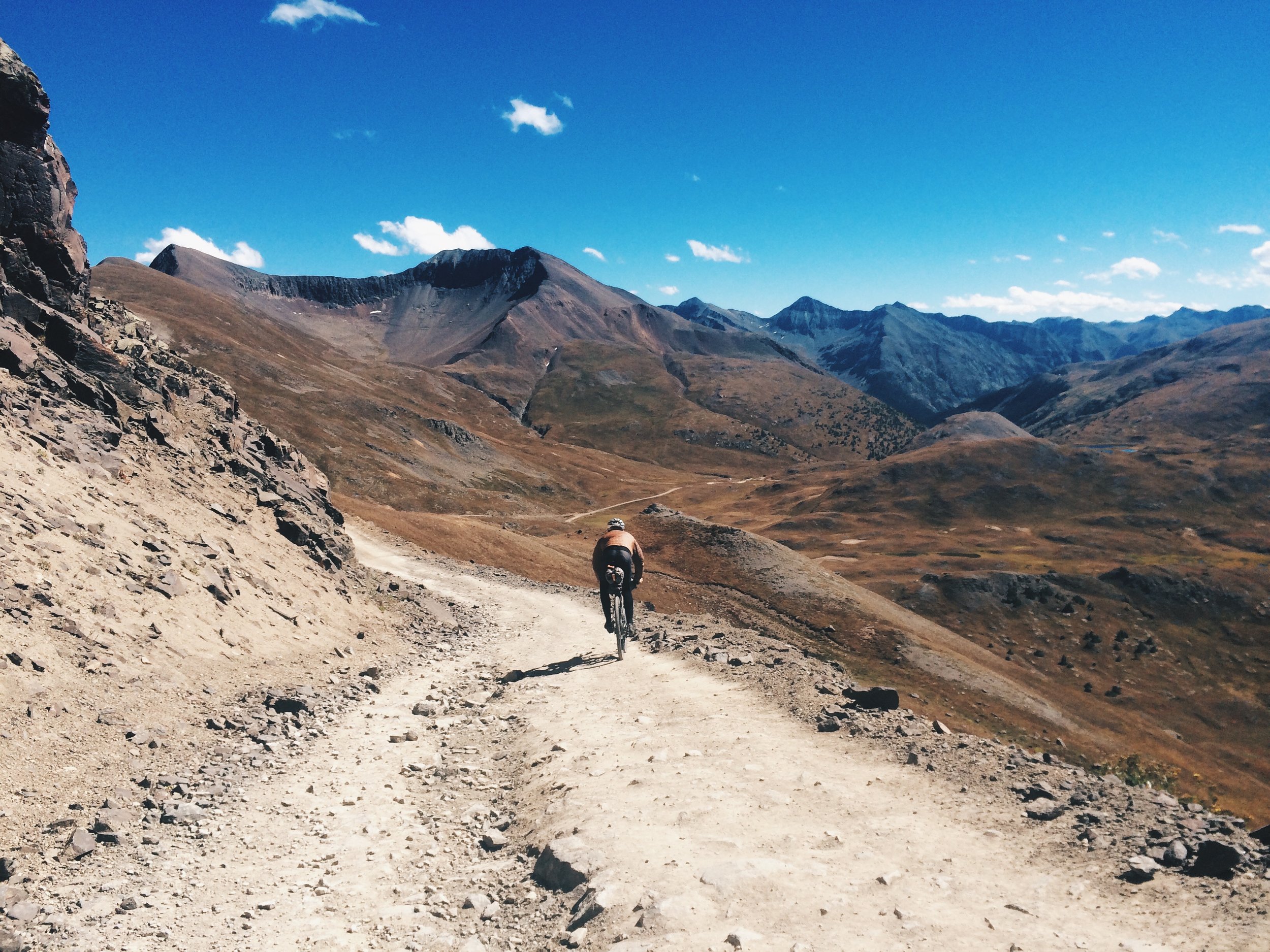
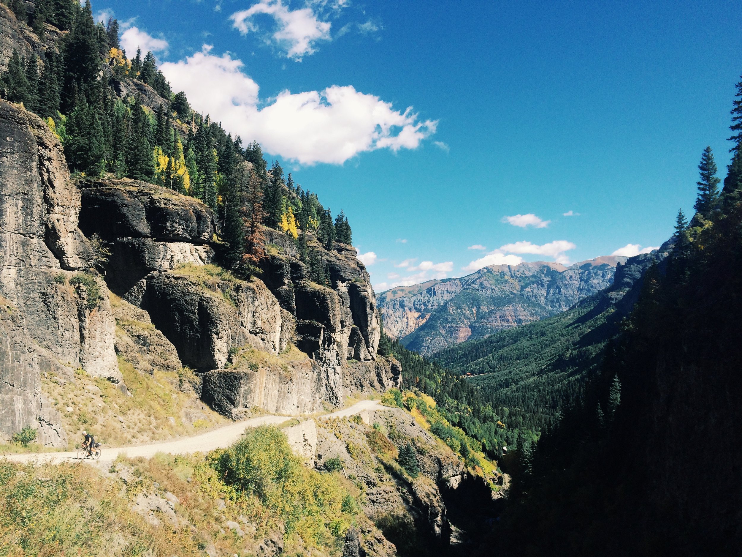
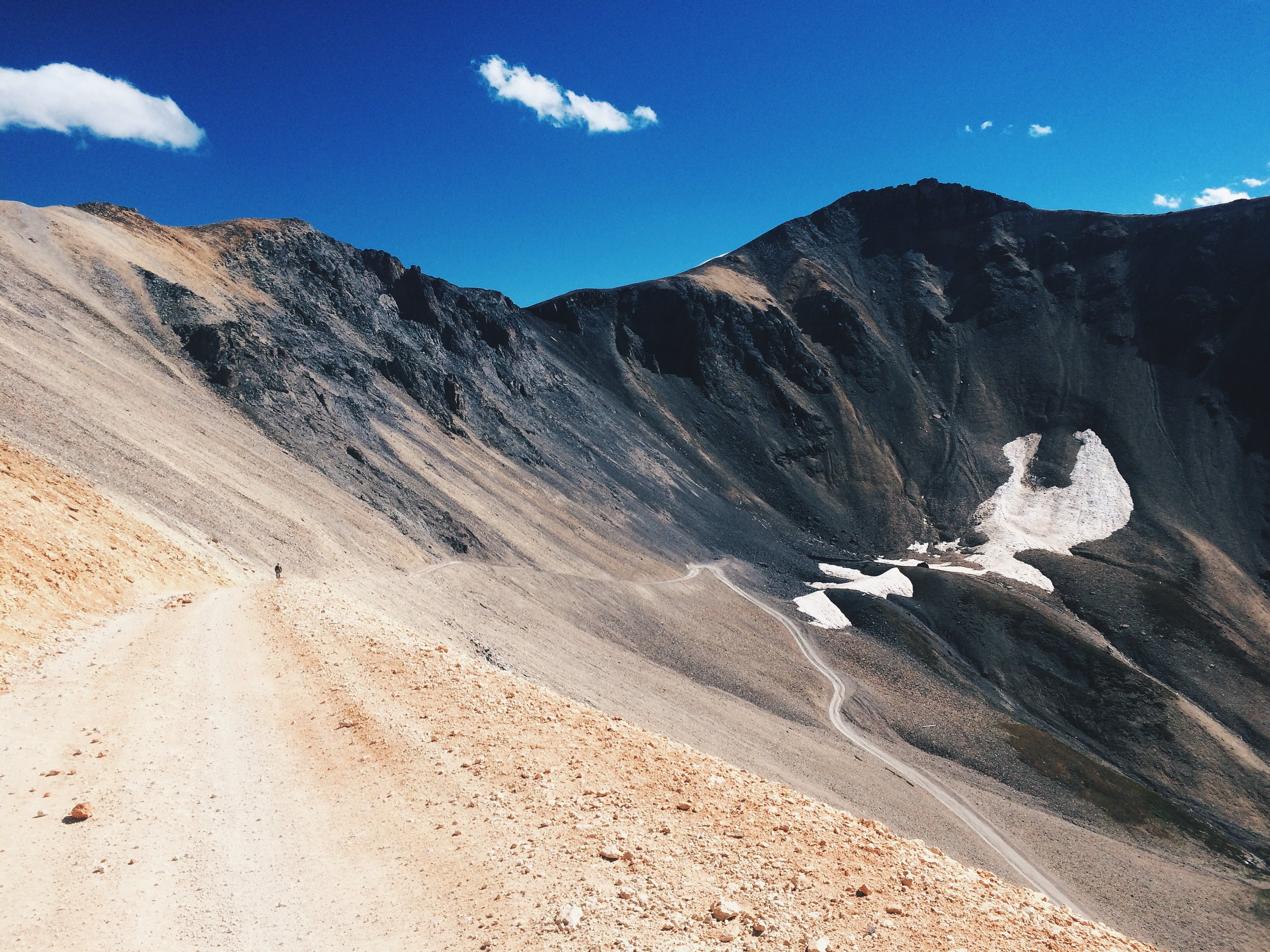
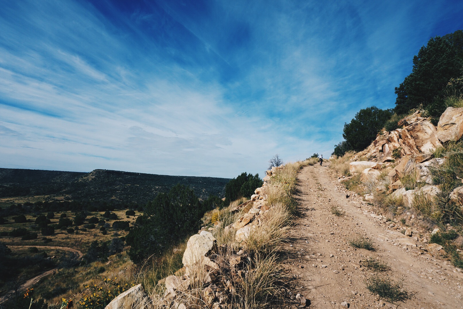
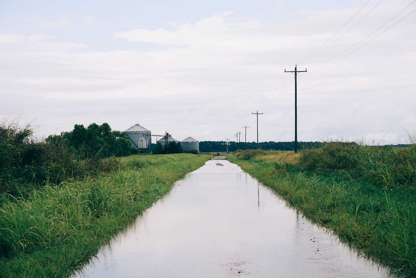
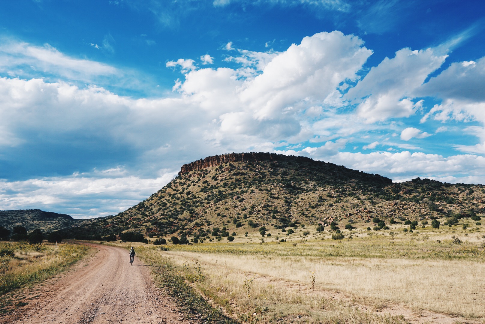
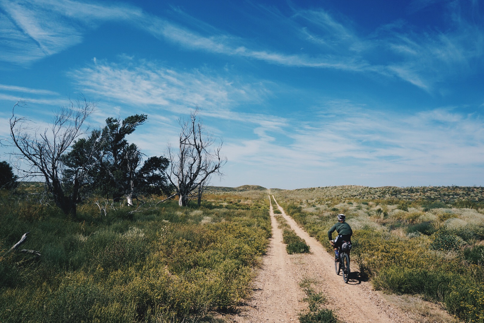
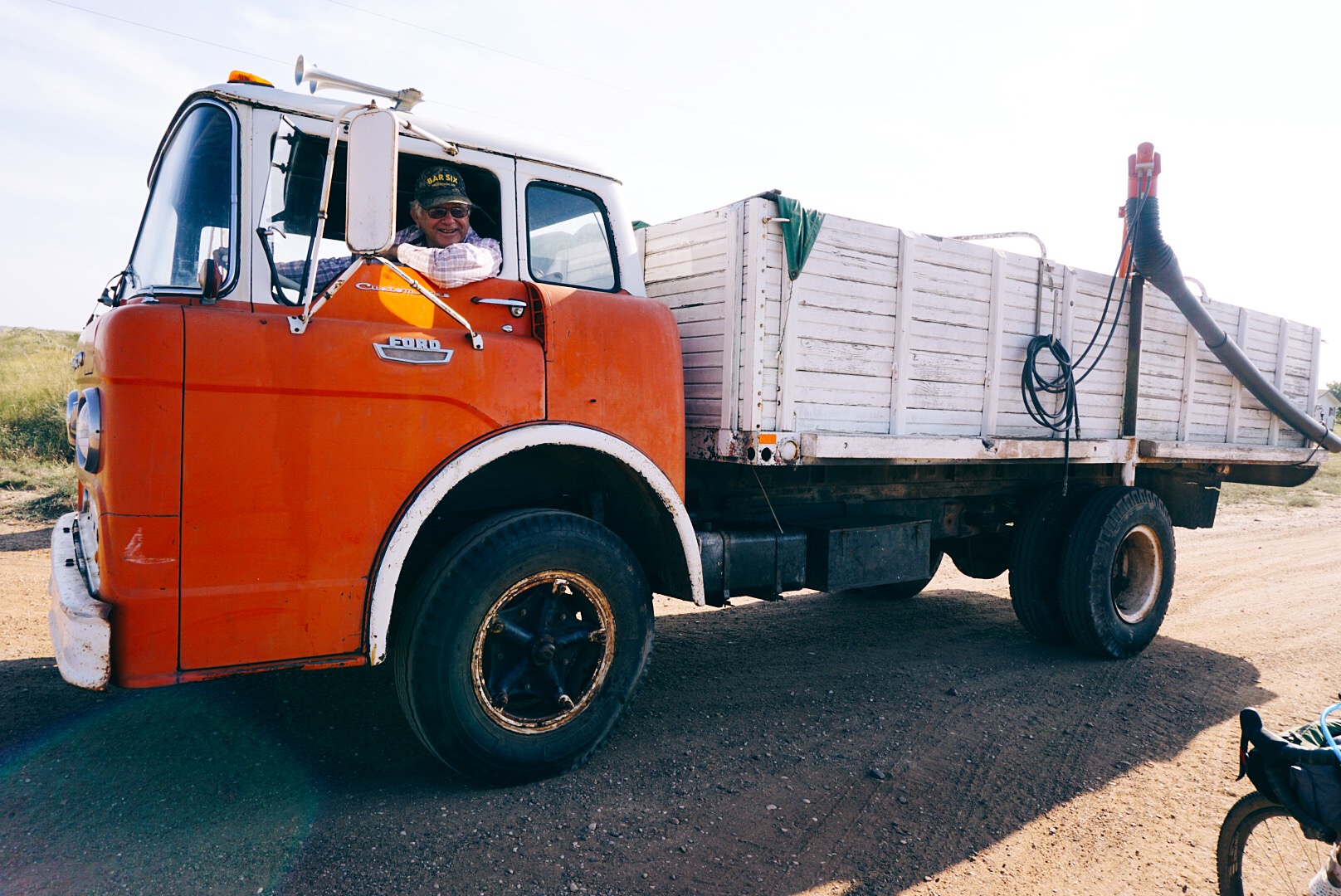
Today the Trans-America Trail begins in the Outer Banks of North Carolina, but it first started in central Mississippi in 1985 when pharmacist Sam Correro was looking for a fun way to get to his cabin. “I had piece of property in Alabama,” he said, “and I thought it would be nice if I could just ride my motorcycle to my weekend house and not get on the damn interstate. So I started that way and got to the Alabama line and the counties there had paved every road they could find. I got discouraged, so I thought, well, I’ll just head the other direction.” He aimed west with no plan to go to the coast, just to keep going as far as dirt would take him. “I got through Arkansas no problem. I got through Oklahoma no problem. I got out the maps and next thing you know, I was at the Pacific Ocean.” The first routing was about 75 percent dirt, 25 percent pavement, but Correro wanted a ride that avoided cities and towns and asphalt altogether, and it took him 14 years to plot today’s route. Because it was designed for motorcycles, he stitched together opportunities for gas, plus food and motels, and planned a typical day to cover 200 miles, making a straight push last 31 or 32 days. The TAT now travels west across coastal Carolina and over the Great Smoky Mountains, then follows the lush, humid river valleys of southern Tennessee and northern Mississippi before crossing the Mississippi River and the rugged Ozark Mountains of Arkansas. There’s a long, gradual climb through Oklahoma and the state’s remote panhandle, then 100 miles through northeast New Mexico before navigating northwest into the Rocky Mountains and over the high alpine passes of the San Juans, the most challenging stretch. Next comes the red rocks of Moab, the high desert of Utah, the Great Basin of Nevada, and eastern Oregon. Following the footsteps of the early pioneers of the California Gold Rush, the TAT finally leaves the desert and drops into the greener land of Surprise Valley, California, and over the Cascade Mountains of Oregon, where the water begins to flow in the creek beds again. It finally comes to an end on Battle Rock Beach in the moody coastal town of Port Orford, Oregon. Cordero, 77, retired a decade ago and has been devoted full time to the TAT ever since. He gets increasing inquiries from cyclists, but they’re still a small portion relative to motorcyclists, which is a shame, because there are few ways to witness America free from the stresses of cars, trucks, and tourists—not to mention the crazy speeds of the interstates. With distances between small towns ranging between 70 to 160 miles, the TAT forces you to be immersed in backcountry living and surviving. The biggest challenge for dual-sport motorcyclists is to haul enough gasoline for the long stretches, but for cyclists it’s finding and carrying enough water. By Oklahoma, the creeks are dry, forcing you to rely on the kindness of people who still live on the land. But that’s a good thing, because it connects you to the small but growing TAT community, which isn’t so different from the trail angels one finds along the triple crown of hiking trails. Correro regularly gets requests from people who live along the route to be added to the TAT’s official map set—many are offering their property for camping and some go well beyond that, with ranchers often making their shops available for welding and other repairs. Tom and I bit off a lot when we committed to the TAT. Prior to this expedition, we’d only done a handful of three- to sevenday bikepacking trips in the Midwest and Southeast. Once we learned about it, we were drawn to the TAT instantly, and from that point it was just a matter of putting our departure date on the calendar and arranging our personal lives to accommodate a three-month hiatus.
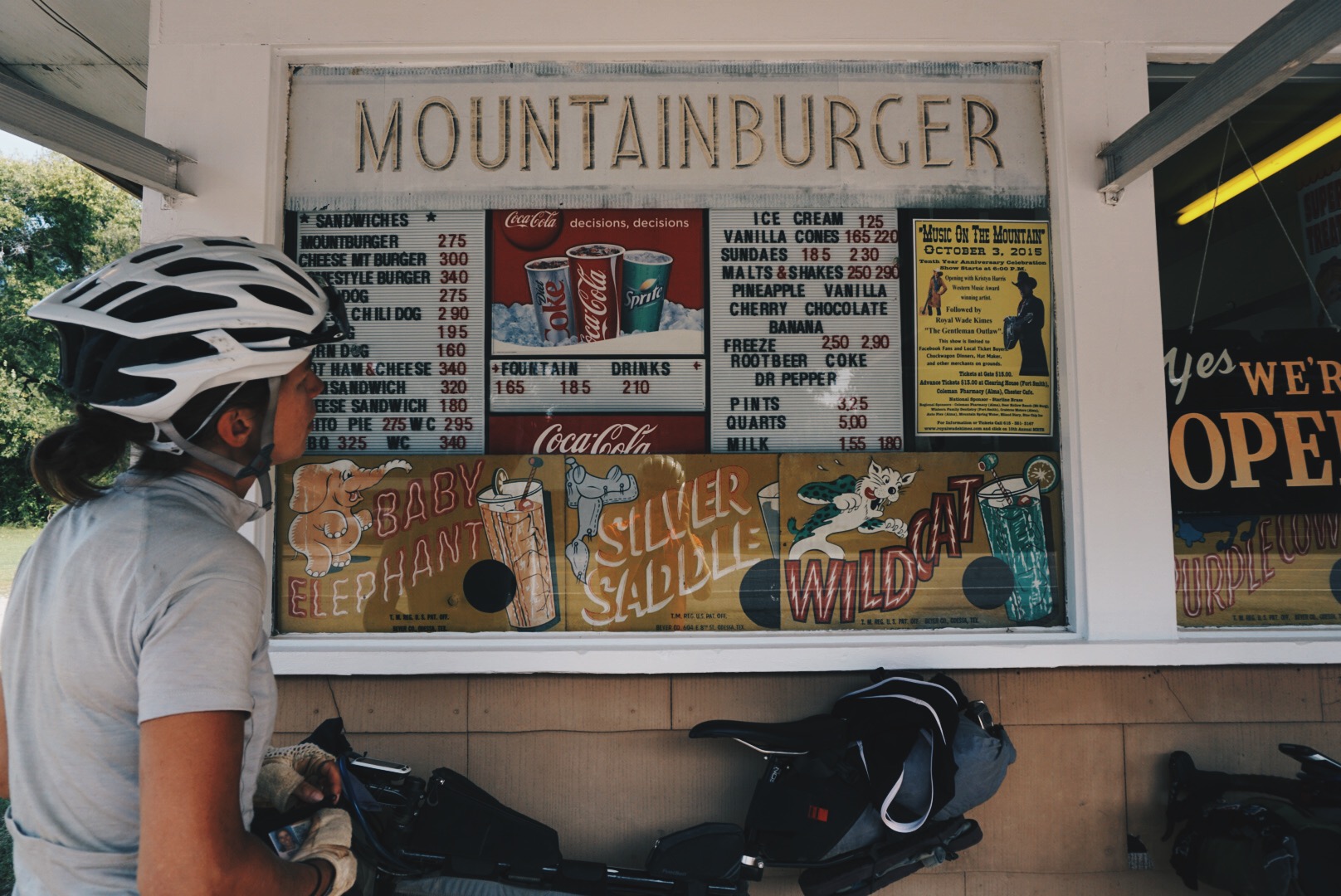
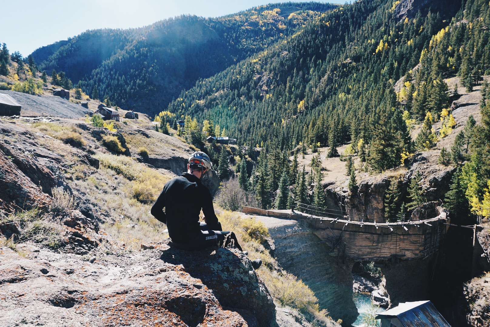
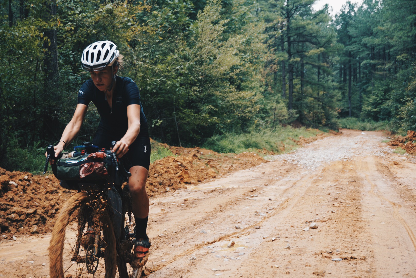
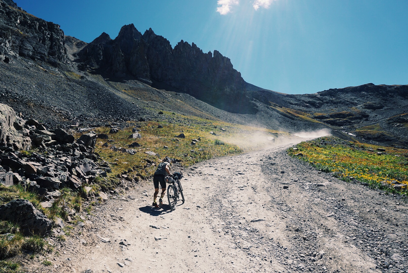
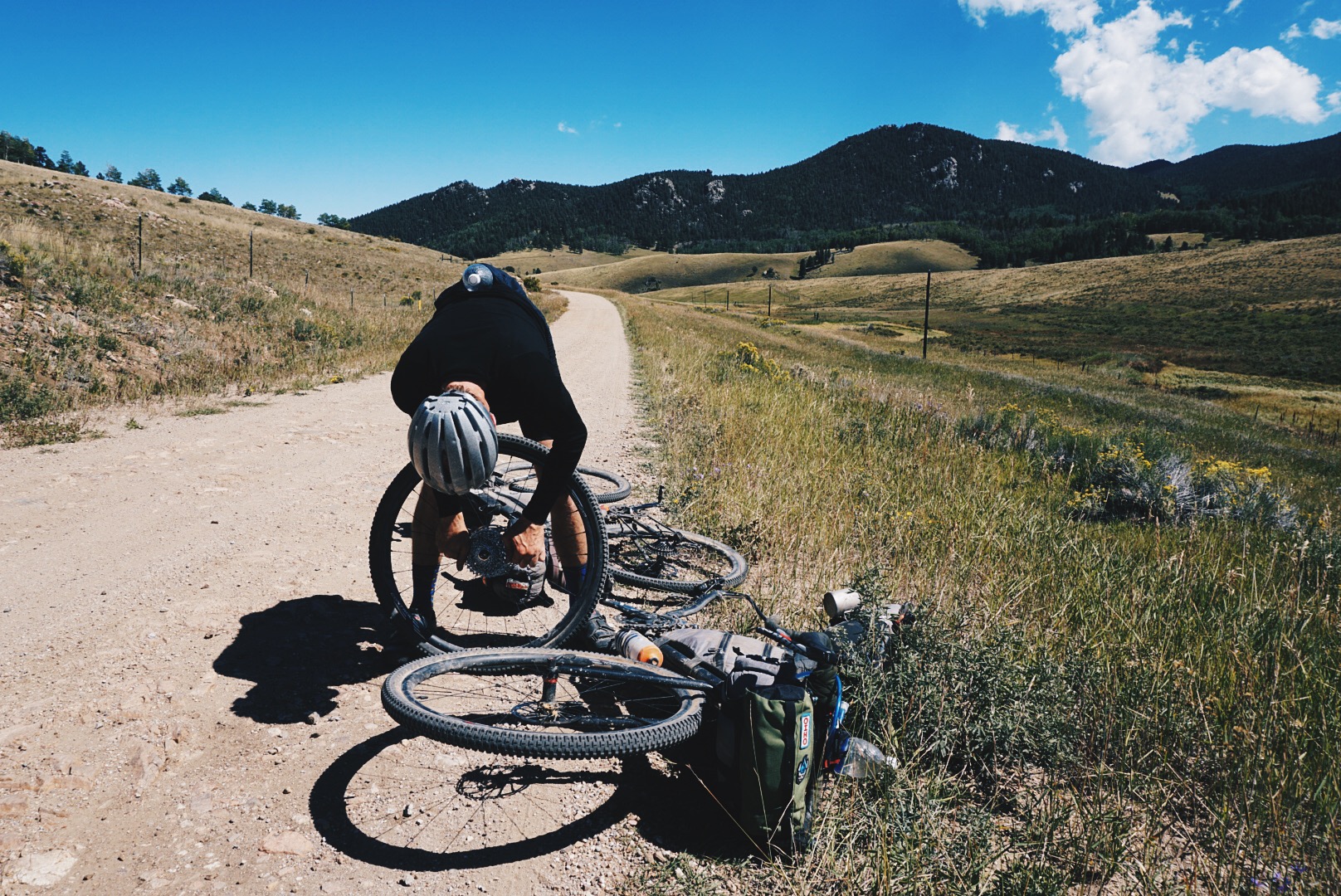
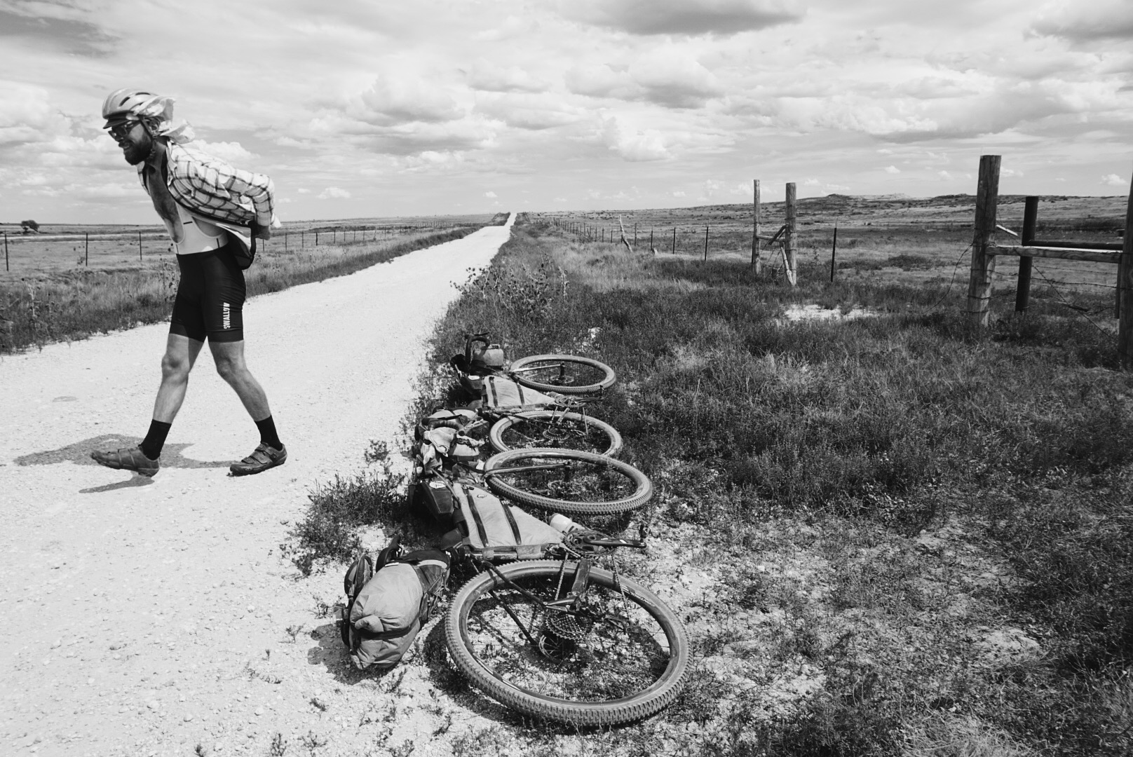
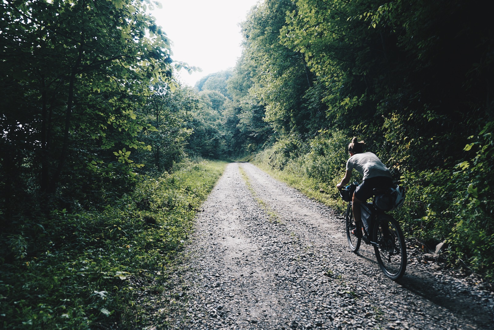
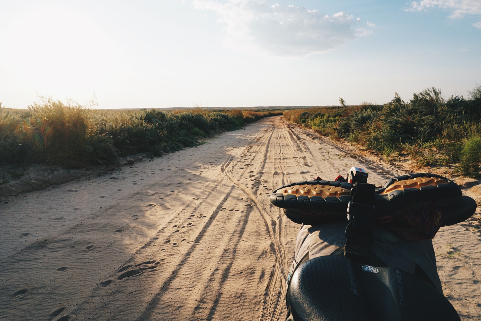
We began August 1. It was hot, awkward, and uncomfortable. As cyclists, we had to figure out our own way, since the TAT was designed for the range and speed of a motorcycle. We ran out of water, got stuck in the mud, hid from thunderstorms, slept with bed bugs, and rode in a crosswind for over 600 miles. We snuck water from private property, pushed our bikes for miles, and sprinted from aggressive dogs. But we were awestruck by the beauty in front of us, food tasted better than it ever had, sleep felt the best ever, and our encounters with humans seemed true and honest. We did hard things and they were good for us. Eventually, we found a rhythm, pace, and ease of living.
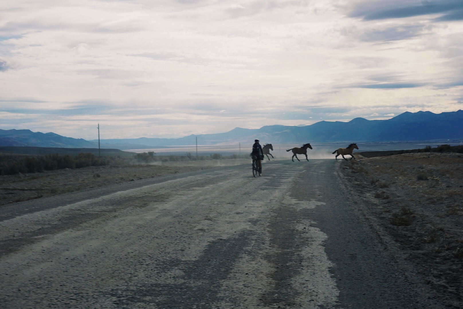
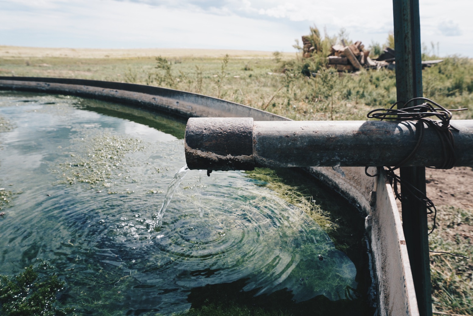
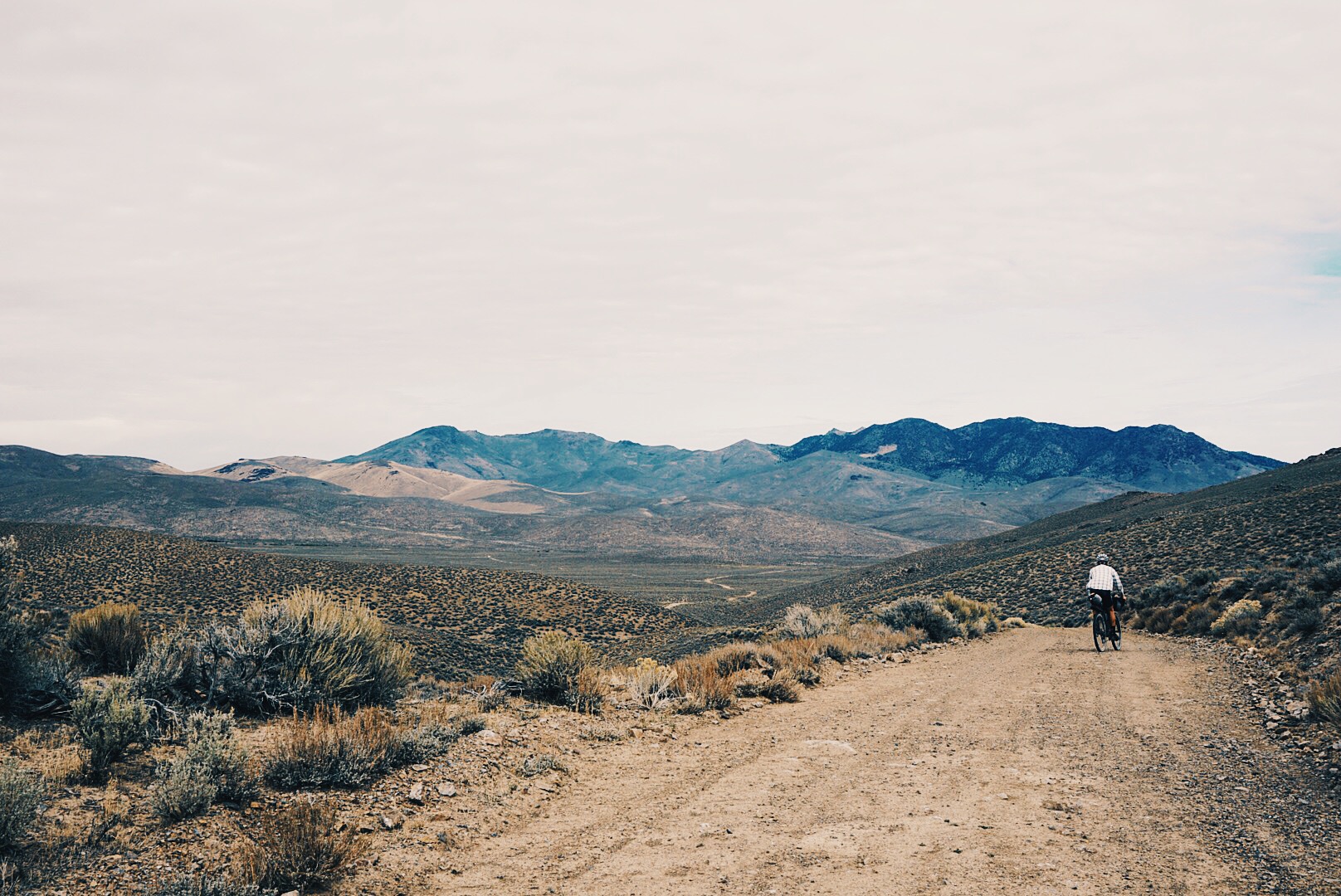
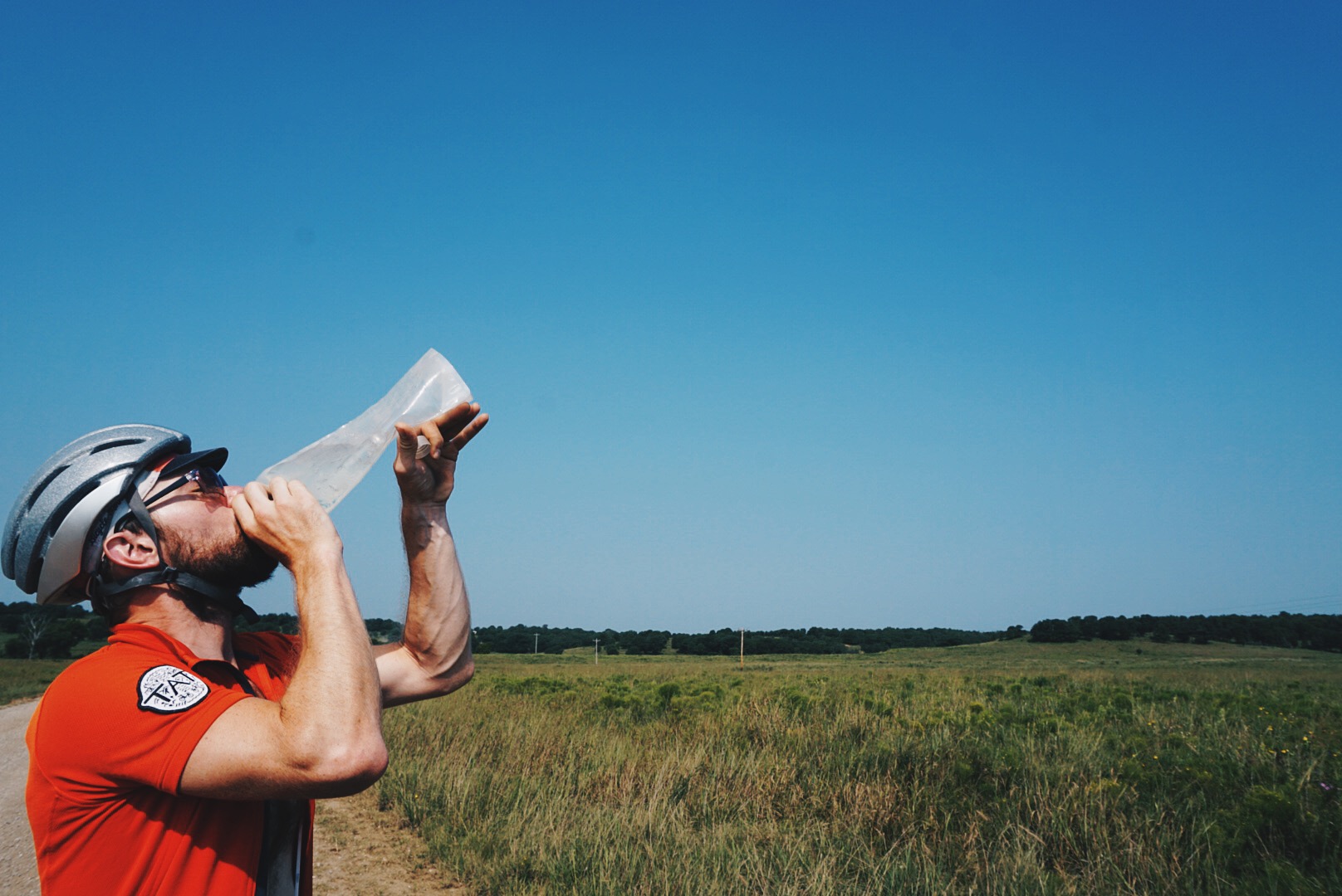
We’ve now been on the road for more than two months. I know how far we’ve come, I’ve witnessed it, I’ve lived it, but it still doesn’t feel real. I’m tan, darker than I’ve ever been. I take a sip of water. It has a faint taste of dirt, or does it? Maybe it’s because I know what it looked like before we purified it. I add a packet of instant iced tea powder into my bottle. Better than dirt. I think back to New Mexico and the windmills that made filling up with clean water a joy. Every place should have windmills. Our road takes us through a ranch, where we stop and speak with the owner, who gives us a six-pack of cold Gatorade. We drink two each while talking with him and pack the other two away. He offers us another six-pack, we’re good, so we thank him and make our way down the road. The sky is clear and there are few clouds. The temperature will rise to 90 degrees today. We apply sunscreen to our dusty skin. The temperature reminds me of North Carolina and Oklahoma, but we’ve been lucky with the weather. We avoided snow in the Rockies, and if it rained now the dusty silt would turn sticky-wet like clay. I stop to take a picture. For miles, there’s no person, house, or vehicle in sight. We’re in the Great Basin, and I’m on top of a range looking straight at another range with a basin in the middle. It looks drastically different than what lies just behind us. How is this possible? I’m enchanted. We keep rolling and finally make it to the town. It has a bar and so does my phone. Population 500, Google says. There’s a grocery, a gas station, a restaurant, and a couple motels. We have choices! We make our way to a motel, where I’m greeted by a puzzled look on the face of the clerk. I’m dusty, dirty, and wearing a raccoon sunglasses tan. “We’re riding the Trans-America Trail. Do you ever get folks coming in here on motorbikes?” I ask. “Absolutely,” they say, “but never anyone on a bicycle! You’ve ridden all this way?” It’s the same conversation I’ve had in every motel along the way, and it grounds me in the reality of the trip. We’ve come so far and still have 700 miles to go. But at this point, it doesn’t seem like much at all.
9 THINGS I LEARNED RIDING THE TAT
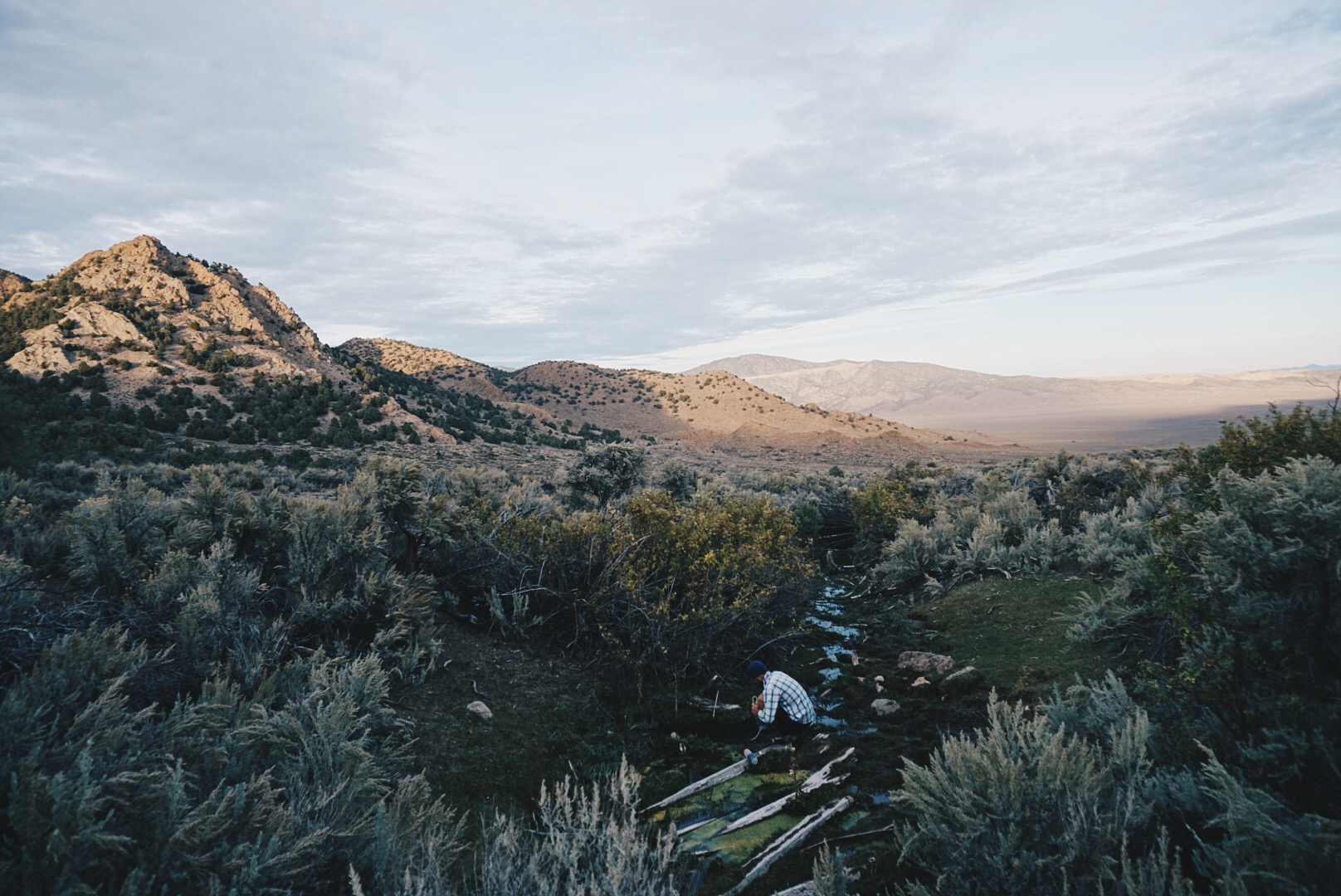
1. Windmills are a great source for water. Even if they don’t appear to be working, venture over. There’s often a quick release to allow the fan to run and soon the water will follow.
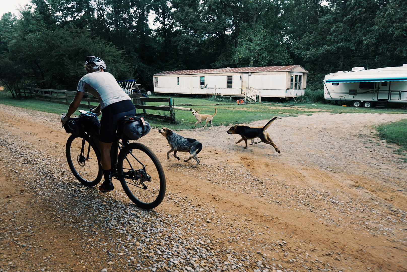
2. If an aggressive dog is chasing you, dismount and put your bicycle between you. A person on a bicycle looks like a UFO to dogs—as soon as you stop and stand up, most dogs will get the idea.
3. Longsleeve shirts are a lifestyle, not a fashion statement. Sunscreen only goes so far.
4. Be like a camel. Pre-hydrate and post-hydrate when you have access to water. Carry a minimum of six liters.
5. The best bug repellent is your hand. If a fly or mosquito is bothering you, kill it.
6. Be present. Stop and talk to the locals. There aren’t many of them, and it’ll be worth it for both parties.
7. Plan two to four days at a time. Be flexible. Your expectations and plans will change.
8. It’s okay to walk. The bike is simply an aid to get your person and your stuff from place to place. When the going gets too rough to pedal, walk for a while, let different muscles take over and give others a much-needed break.
9. Even in the desert, there are natural springs. While traveling through Utah, Nevada, and eastern Oregon, if you see even small patches of green vegetation or old well structures, there’s likely water nearby.
BY THE NUMBERS
3 Flats
7 Worn-out tires
2 Worn-out chains
3 Broken spokes
176 Starbucks Via coffees consumed
1 pair of Rapha bib shorts lost
87 days total
6 days off