Plan B
A couples journey from owning a bike shop to pioneering the crossing of the other Trans-America Trail
Story for Adventure Cyclist Magazine March 2017 Issue by Sarah Swallow. Photos by Tom Swallow and Sarah Swallow
Imagine riding across America on Adventure Cycling’s TransAmerica Bicycle Trail, the classic paved route from Astoria, Oregon, to Yorktown, Virginia. You pass through small-town America, experiencing places and sites that you have reached under your own power. The journey occurs at a rate of speed slow enough that you are immersed in your surroundings but fast enough to shock you with frequent changes in geography, culture, and climate. Now imagine the magnitude of a similar journey in the intimate and remote setting of America’s backcountry dirt roads, and you get the Trans-America Trail. The two routes share the same name, but the Trans-America Trail (also known as the TAT) is a 5,000-mile route across the United States that follows dirt roads, gravel roads, forest roads, jeep trails, and paved backroads.
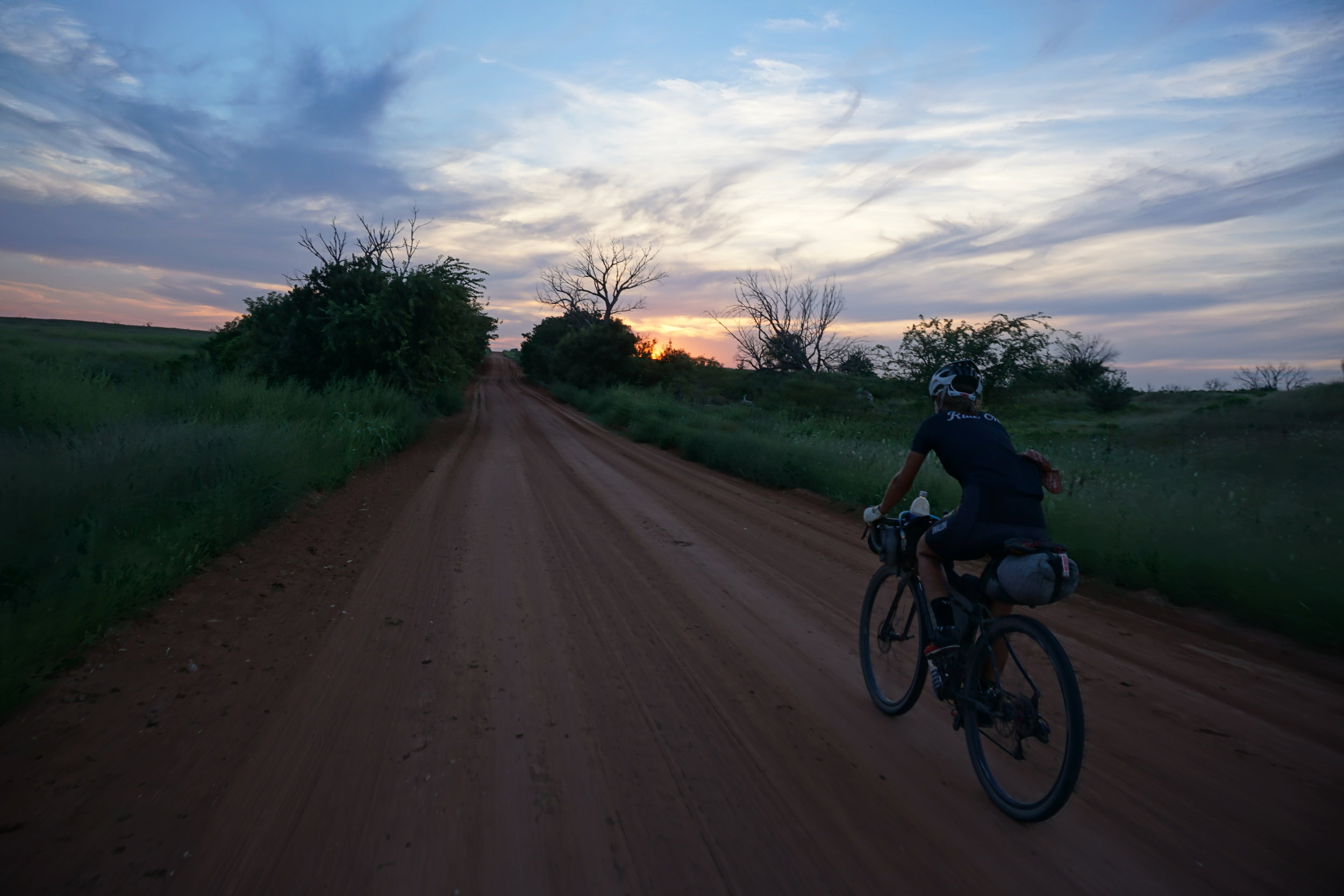
Yes, there is a dirt-road route from east to west across the United States of America, and it’s nearly double the length of the Great Divide Mountain Bike Route. Don’t be surprised if you haven’t heard of it. This route was initially designed by and for dual-sport motorcyclists (hence the name overlap), making it popular among a community of adventure motorcyclists and 4x4 enthusiasts, but relatively unknown to bicyclists. That is, until the summer of 2015, when my husband Tom and I rode the TAT on our bicycles over a three-month period. For us this was more than a journey of exploration and adventure. We began the ride just weeks after closing our bicycle shop, leaving our so-called “comfortable life” to embark on the unknown. This is how we went from owning a shop to pioneering the crossing of the TAT by bicycle and how it changed our lives.
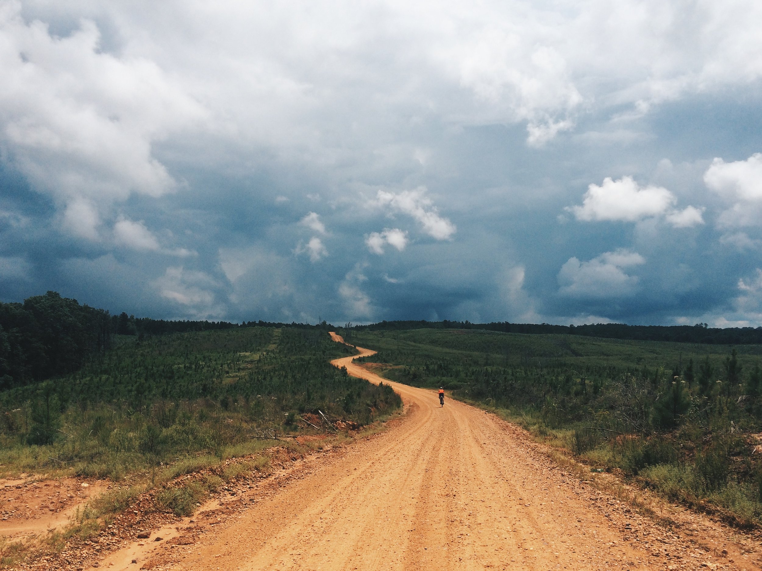
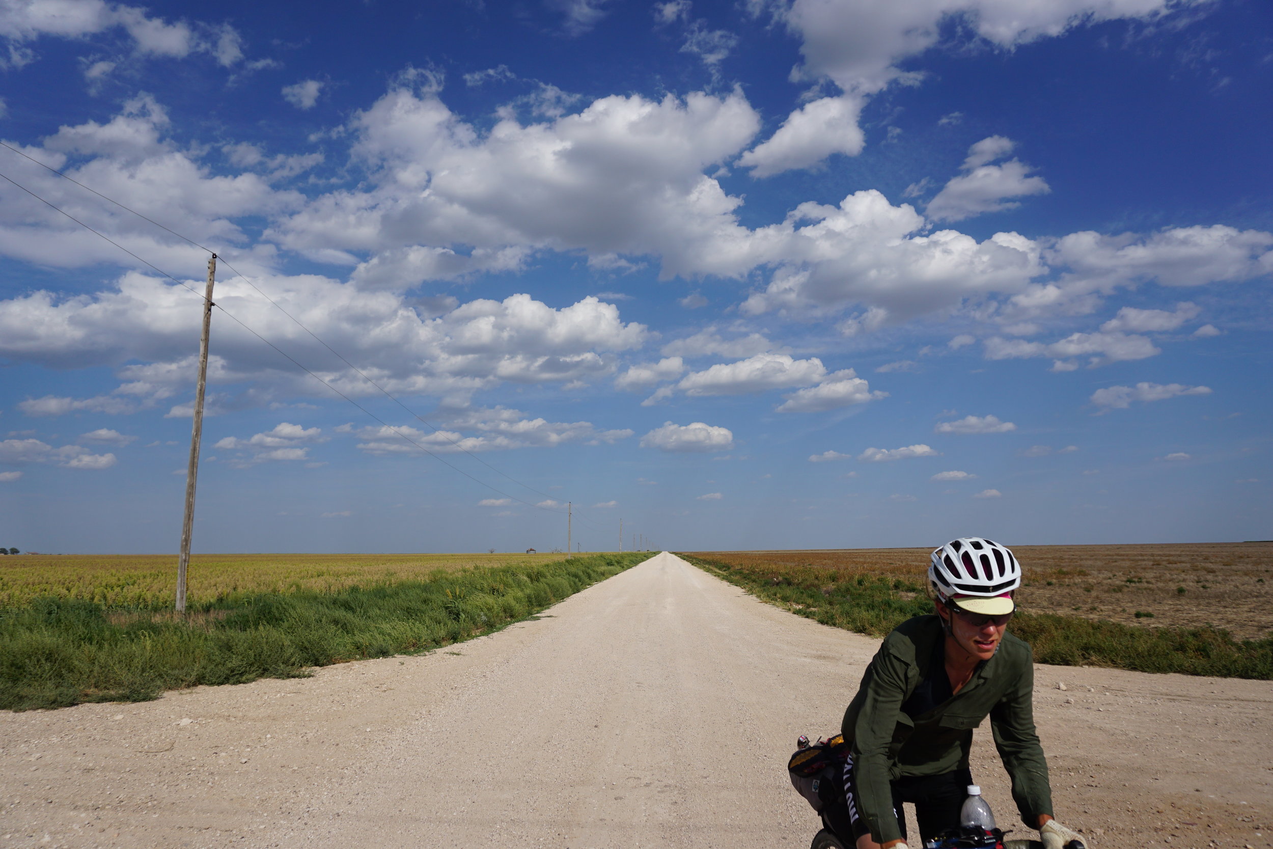
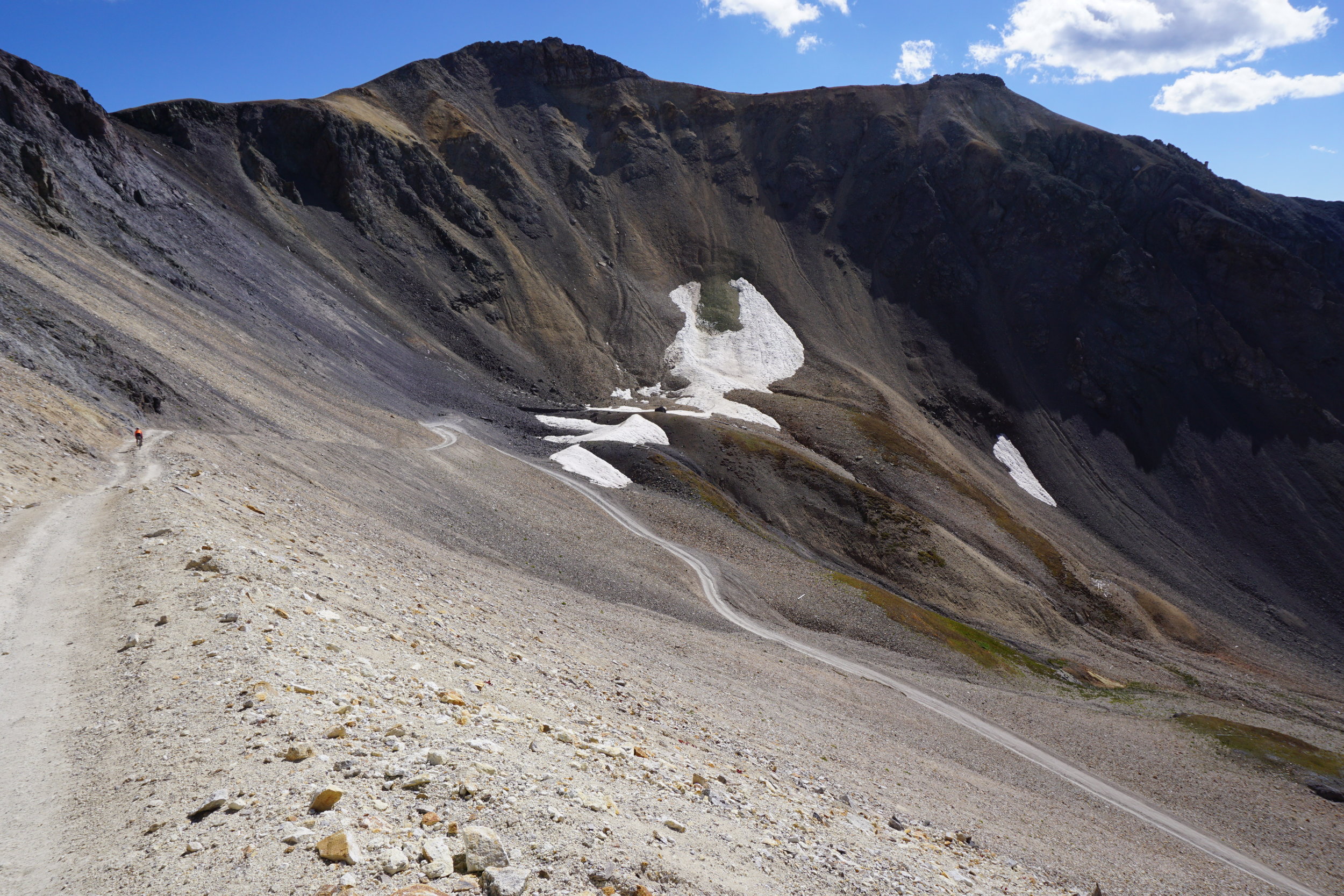
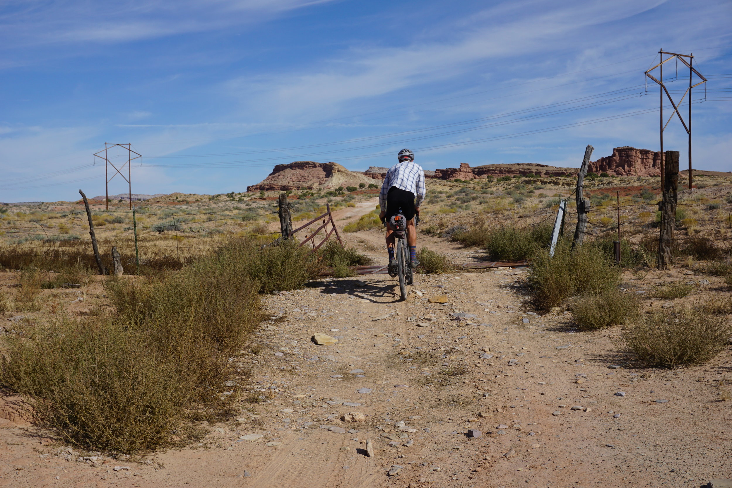
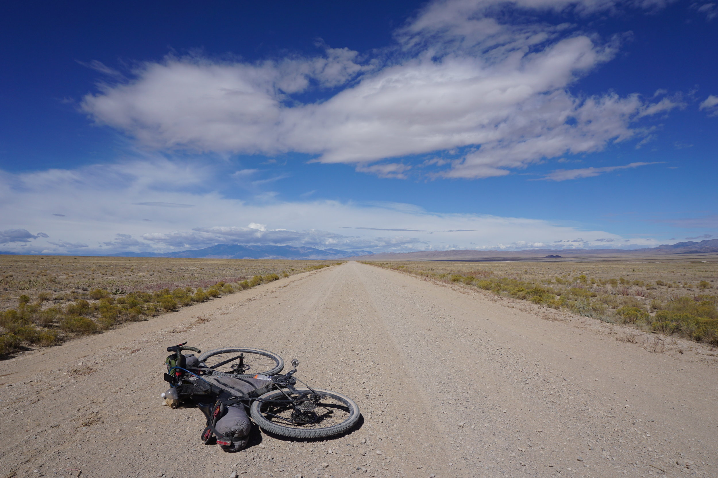
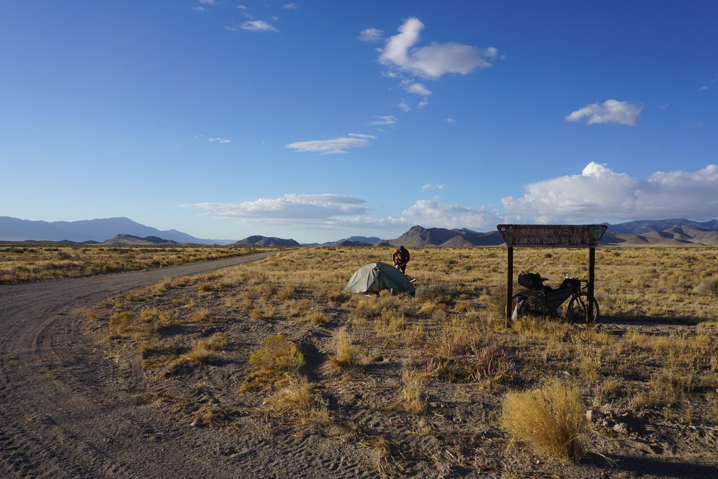
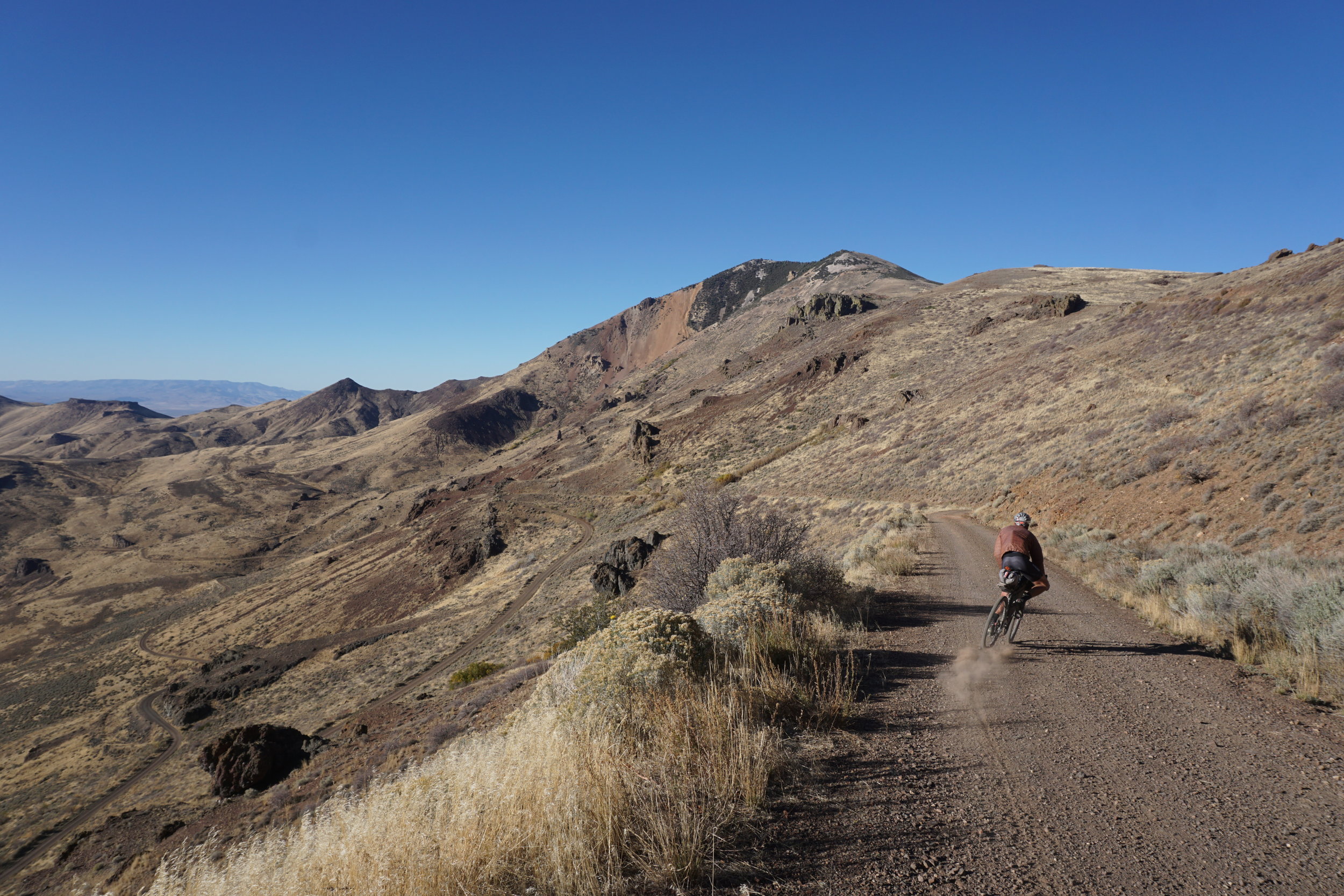
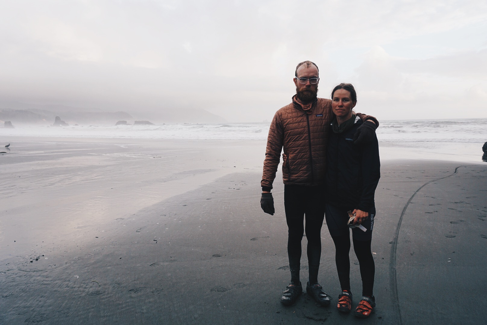
First, let me address the curiosity of every gravel grinder reading this by telling you a little more about this route. The TAT begins in the Outer Banks of North Carolina and travels west across coastal Carolina and over the Great Smoky Mountains. From the Smoky Mountains, the route follows the backroads of the lush, humid river valleys and forests of southern Tennessee and northern Mississippi. The route travels over the Mississippi River and into the rugged Ozark Mountains of Arkansas before it begins a gradual, straight ascent through the prairie grasslands of northern Oklahoma and the No Man’s Land of the state’s remote panhandle. For 100 miles, the route travels through northeast New Mexico before navigating northwest into the Rocky Mountains and over the high alpine passes of the San Juans. The red rocks of Moab are the route’s introduction to a long stretch across the high desert of Utah, the Great Basin of Nevada, and eastern Oregon. Following the footsteps of the early pioneers of the California Gold Rush, the route finally leaves the desert and drops you into the greener land of Surprise Valley, California, and over the Cascade Mountains of Oregon, where water begins to flow in the creek beds again. The route comes to an end on Battle Rock Beach in the moody coastal town of Port Orford, Oregon.
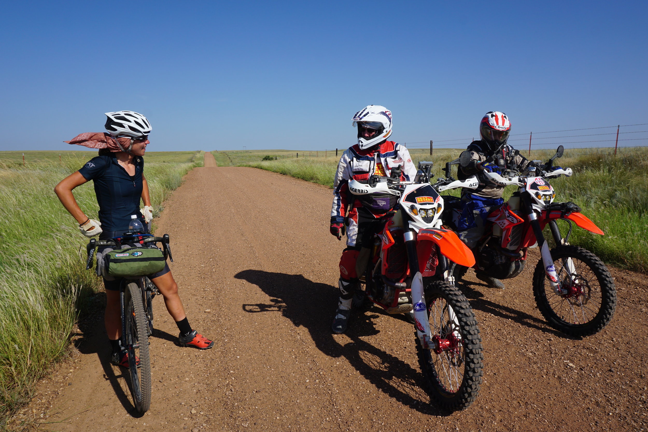
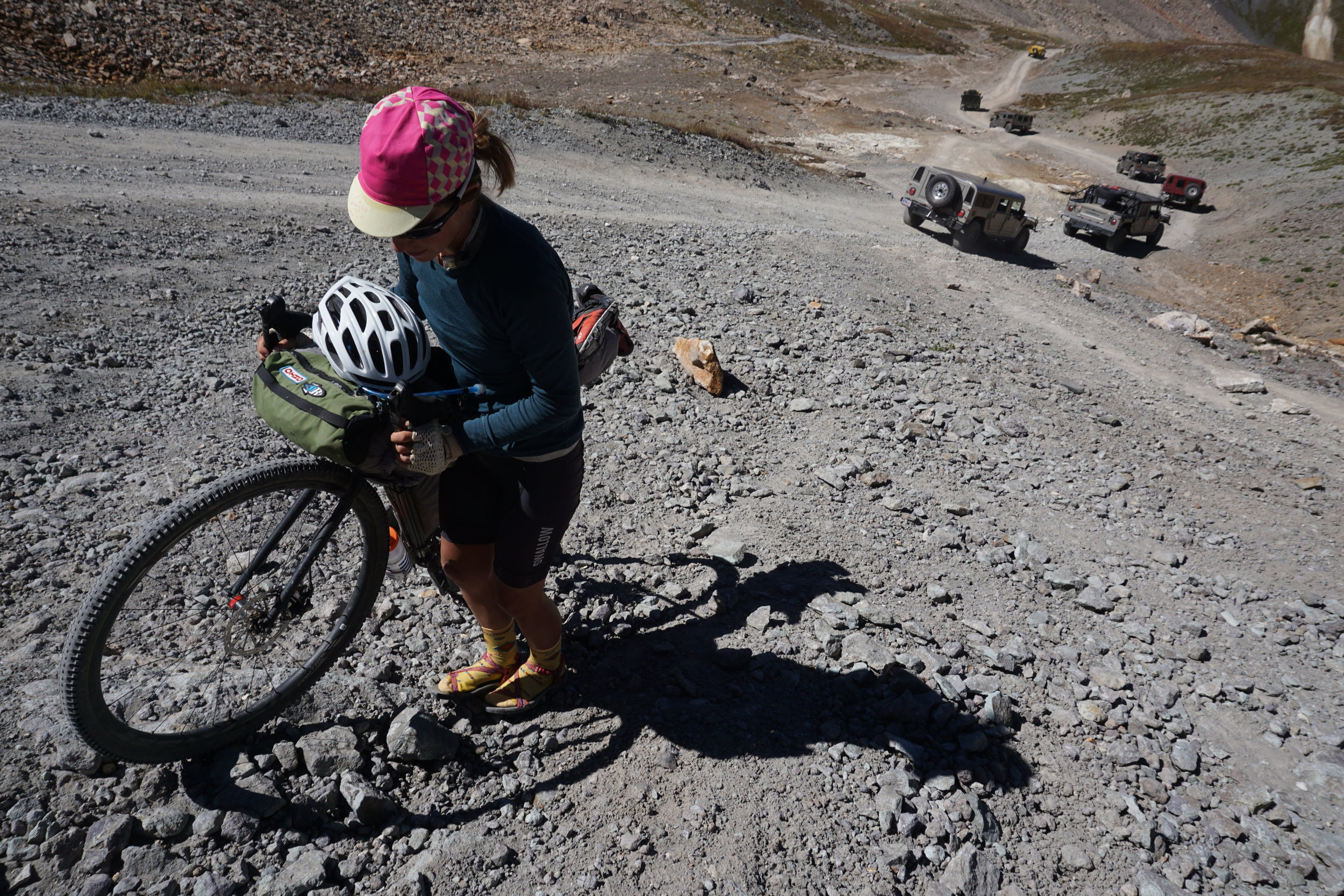
Sam Correro, a passionate dual-sport motorcyclist from Tennessee, developed the route over 15 years as a way to cross the country off pavement with his motorcycle. Sam completed the route in 1996 and has since launched a website (TransAmTrail.com) as a resource to purchase maps and information for the route. Since the route was released, it has naturally become popular among dual-sport motorcyclists and 4x4 enthusiasts made evident by the countless forum entries on ADVrider.com, YouTube videos, a Land Rover commercial, and even the documentary film Road Less Traveled. Every summer, the route draws more individuals from all over the world who travel to witness a perspective of America that few have ever seen. During our ride, we encountered people from New Zealand, South Africa, and even a couple from the UK who were riding Honda Passport motor scooters. They had all spent months, if not years, preparing the equipment necessary for the physical and logistical challenges of making it through this extensive route. Sure, riding the route on a motorcycle is a bit easier and requires less time than doing it on a bicycle, but motorcyclists are still on a major journey.
We enjoyed sharing the route with motorcyclists. Our speed relative to theirs was slow enough that they eventually passed us, allowing us the opportunity to meet many of them. We shared stories, meals, campsites, and even motel rooms. Not unlike the Appalachian Trail, the Pacific Crest Trail, or the Great Divide Mountain Bike Route, the TAT is surrounded by a culture of those who have completed the route, are riding the route, or hope to ride it someday. Regardless of the type of journey you’ve undertaken, the ride on the route is like a pilgrimage shared by all who participate.
I stumbled across Correro’s route while researching another ride I would be doing with a group of friends in the Smoky Mountains. I remember seeing the website and hardly believing its authenticity. I bookmarked the page and didn’t think about it for a while until curiosity compelled me to pull up the page again, do a little Google searching, and watch some of the YouTube videos. I did this once in a while until I was finally convinced that it was a real route. But I asked myself, if this information was out there, why couldn’t I find any information about someone riding a bicycle on the route? The cycle continued with me bookmarking the information for another rainy day.
In 2008, I was 20 years old, living in southwestern Ohio, and had just left my childhood job of eight years at a bike rental outfit for a “real” job at my local bike shop. There I met Tom, who was unlike anyone I had ever met. Tom had a lust for life and wanted to be happy, and riding bicycles was his way of doing that. To make a long story short, we became friends, fell in love, and decided to get hitched. During all this, we were working side by side managing two bike shops. The shops had been in business for over 16 years, and their owner was losing the motivation to keep them open, ultimately closing the doors in 2011.
When the shops closed, there was a hole in the local marketplace. Tom and I felt that we had the skill sets for operating a bike shop, our clientele was there, and that we could really give this a go under a few conditions. The first condition was to retain a fundamental level of freedom by not taking on debt and by starting with what we had instead of involving outside investors. The second condition was to commit to riding bikes more and integrating that into our lifestyle as business owners. Last, we would only keep the bike shop as long as it made us happy. We were two kids in our early 20s trying to be as practical as possible, considering the circumstances.
We invested in our brand, Swallow Bicycle Works, and invested our time in rides, sharing our stories, and in learning experiences with others. We became known as a personal husband-and-wife-owned and -operated shop that practiced what we preached and focused on good old-fashioned honest interactions with people, selling them products and services that would make riding more fun and compatible with their lifestyles. It actually worked. We were busy and making money. In 2013, we put on Southwest Ohio’s first gravel adventure ride called the Ridgetop Ramble, a free event that drew over 70 participants from all over Ohio. From then on, there were more rides. Some were open to the public; others were our own miniature explorations of the surrounding Ohio, Kentucky, and Indiana tri-state area. The more we rode, the farther we wanted to go, and the more refreshed and inspired we felt going into work on Monday. We were checking roads off the map, not letting any go unridden. All the while, we were sharing our routes, experiences, and photos with others, hoping to break the common group-ride racer routine that can dominate the market. That worked too. People were buying gravel bikes, touring bikes, and bikepacking bags. More important, they were seeking out mini-adventures of their own with family and friends.
Bigger companies were catching on to this increasingly popular category of riding and wanted to invest in it. In 2015, I received a grant to document the adventure riding we had been doing for the past couple of years through the shop. I was given the freedom to explore anything I wanted, and nothing felt more right for us than riding the TAT across the country while documenting the route from a bicyclist’s perspective for the first time. We put it on the calendar for August 2015. The trip would be a sabbatical of sorts, a chance for a fresh perspective about what we were doing with our business, to see whether that lifestyle was sustainable for us. In July 2015, we closed the shop for our trip with the intent to relocate when we got back.
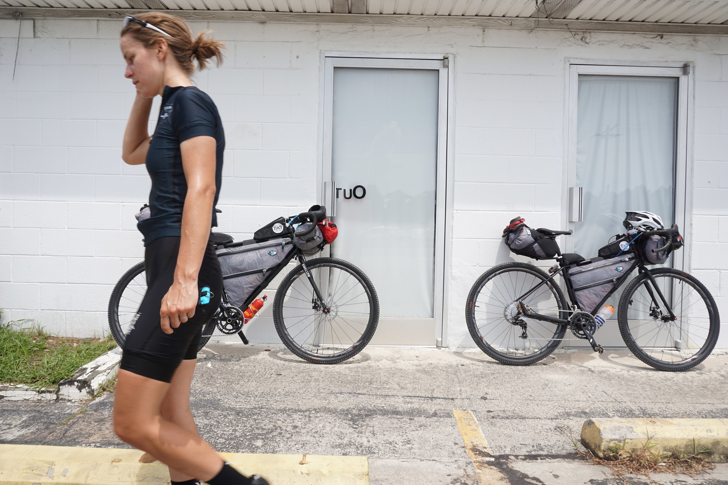
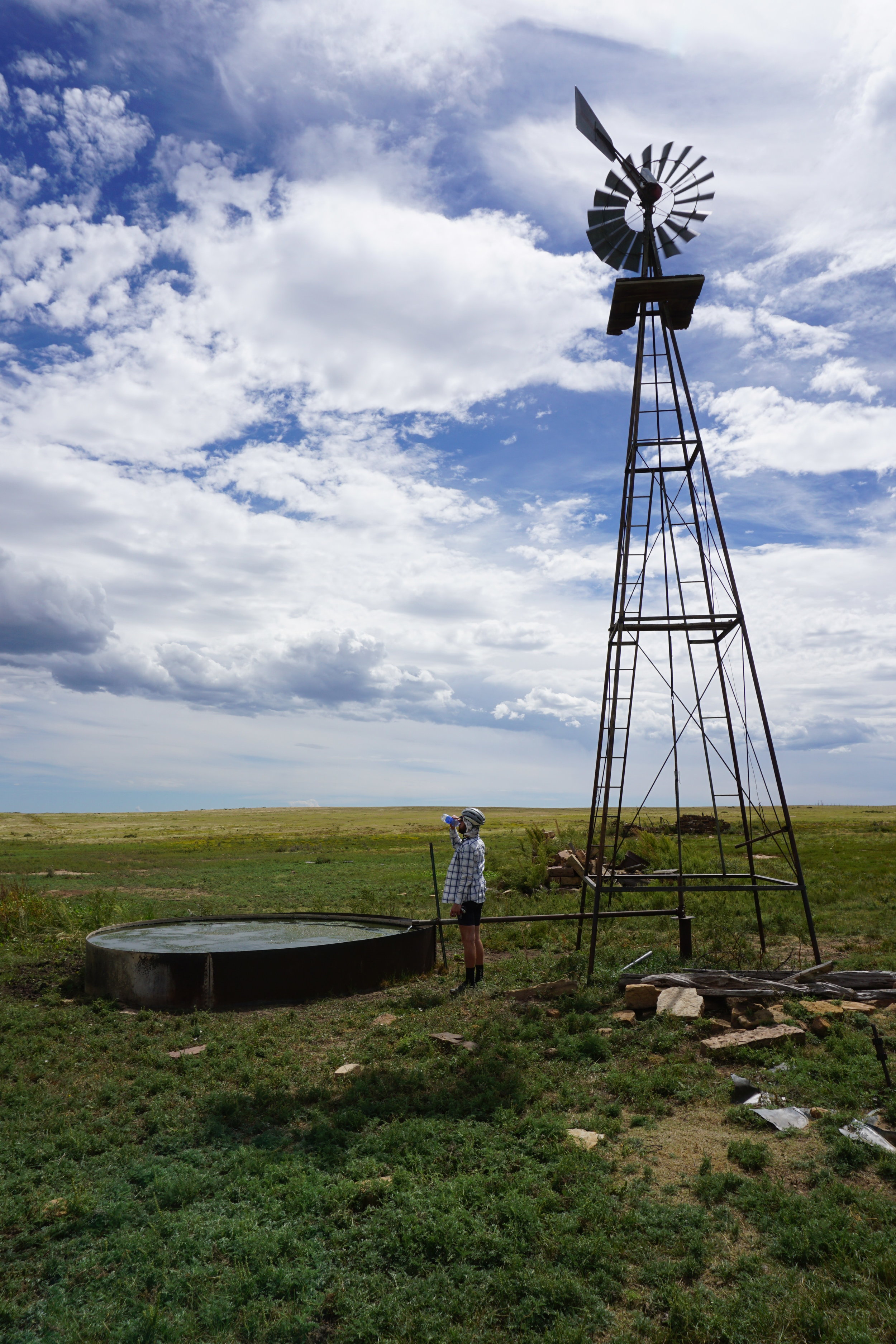
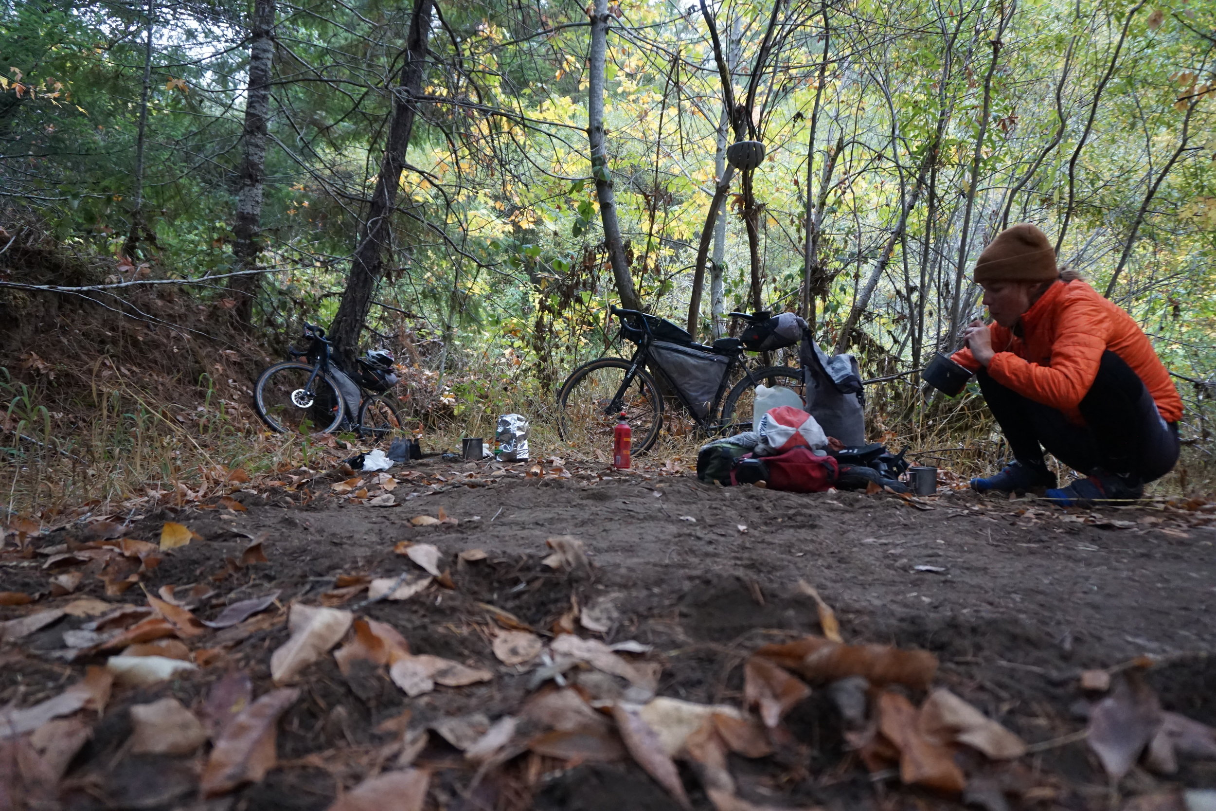
Our experience on the TAT changed our lives. We were finding our own way as bicyclists along a route designed for a motorcyclist’s distance and speed. All of our considerations for food and water had to be carefully planned. We ran out of water, got stuck in the mud, hid from thunderstorms, slept with bedbugs, and rode with a crosswind for over 600 miles. We did without, snuck water from private property, pushed our bikes for miles, and sprinted from aggressive dogs. We did hard things, and they were good for us. Eventually we learned to see the inherent beauty in all life and began to travel with ease. More important, we talked to people — a lot of people. They welcomed us into their homes and taught us how to live on the road. It was meaningful, it was real, and it felt very natural. We had plenty of time to consider how big the universe is, how small we really are, and to learn that what might seem to matter may not actually matter at all. We finished the ride with open minds regarding what we would do and continued to allow positive experiences to steer our course.
So we found ourselves at a fork in the road. Down one path, we could give up a little freedom to pursue our previous careers. Down the other path, we could capitalize on our freedom right now and see where it led. We realized that we should continue the journey we started with the TAT, navigating the course of life by bicycle and learning as we traveled.
Our bike shop was more than a place of business, it was a community of family, friends, and customers who shared their stories. We inspired one another to take a step back from the busyness of life, ride a bike, try something different, and participate in the world. This community has been our biggest motivator to explore the world by bike, a journey that began with the TAT. Many people ask what our security plan is and how we are going to make money. I get that. Ours is an unlikely lifestyle, and I am not suggesting it works for everyone. For us, though, normal life is plan B.
Nuts & Bolts: TAT
• 5,273 miles; 349,101 feet of climbing
• 80 percent dirt roads
• The route boasts many singletrack alternatives, including the Whole Enchilada in Moab, Utah.
• The best time to ride the TAT is June through October. However, the heat in Utah and Nevada, and the snow in Colorado, should be considered when planning.
• The route is designed to be ridden east to west. As you go farther west, the route becomes more challenging and remote, with fewer towns.
• The original route starts in Tellico Plains, Tennessee. The North Carolina section was added later by an outside party to create a coast-to-coast experience. The North Carolina section is mostly paved.
• In 2016, Sam Correro revised his route to travel north from Utah into Idaho, eliminating Nevada altogether. This revision adds 500 miles to the original route.
• The maximum distance between towns is 160 miles.