
Stories
Reflections from the road, alongside how-to pieces and story-driven guides. These writings explore the places I move through and the inner landscapes they reveal—shaped by long days on the bike, unexpected encounters, and the lessons learned along the way.
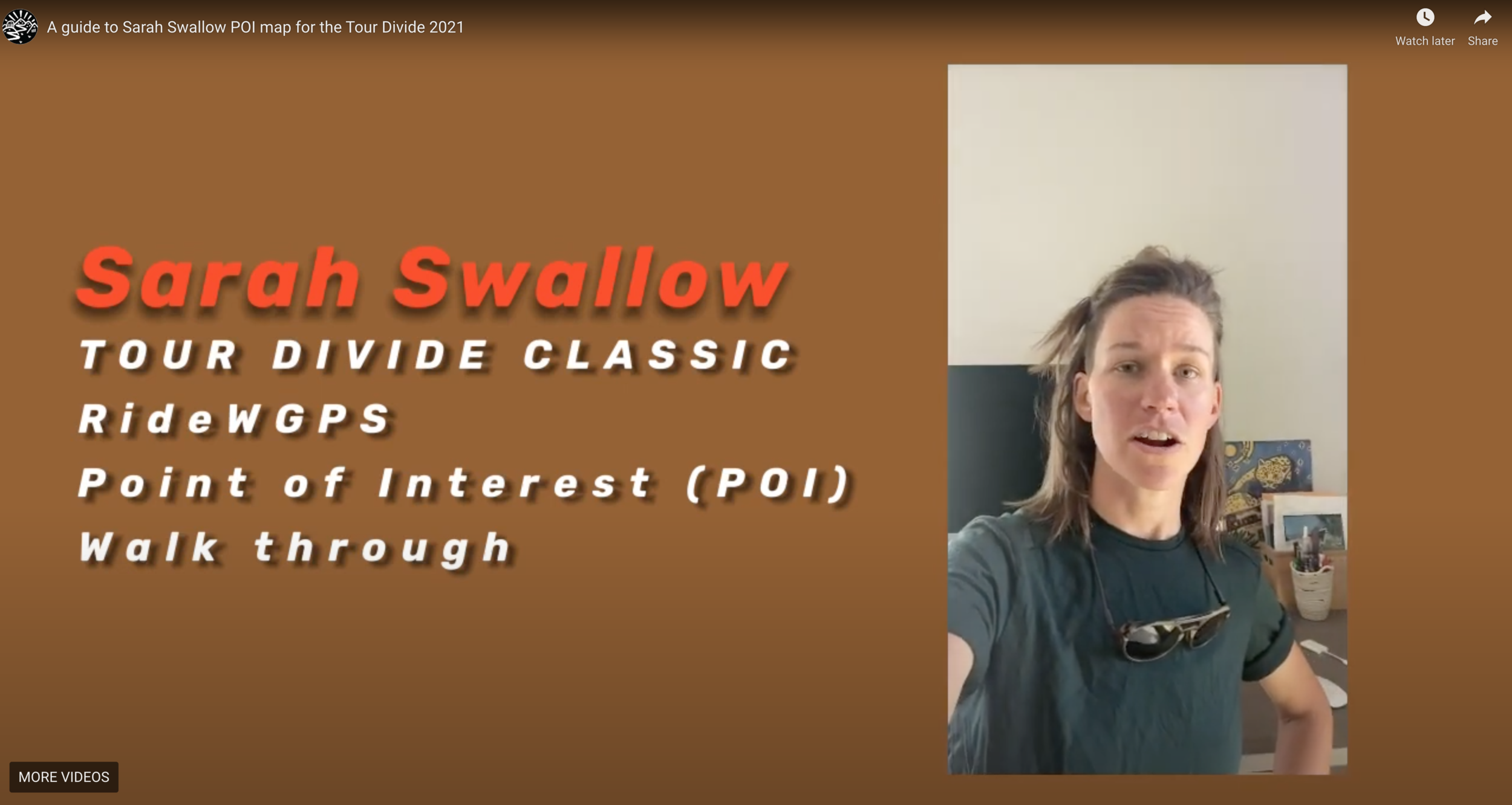
A Guide to My Tour Divide Route POI Map
A breakdown of how I planned resupply points and key locations along the Tour Divide using Ride with GPS and detailed route mapping.

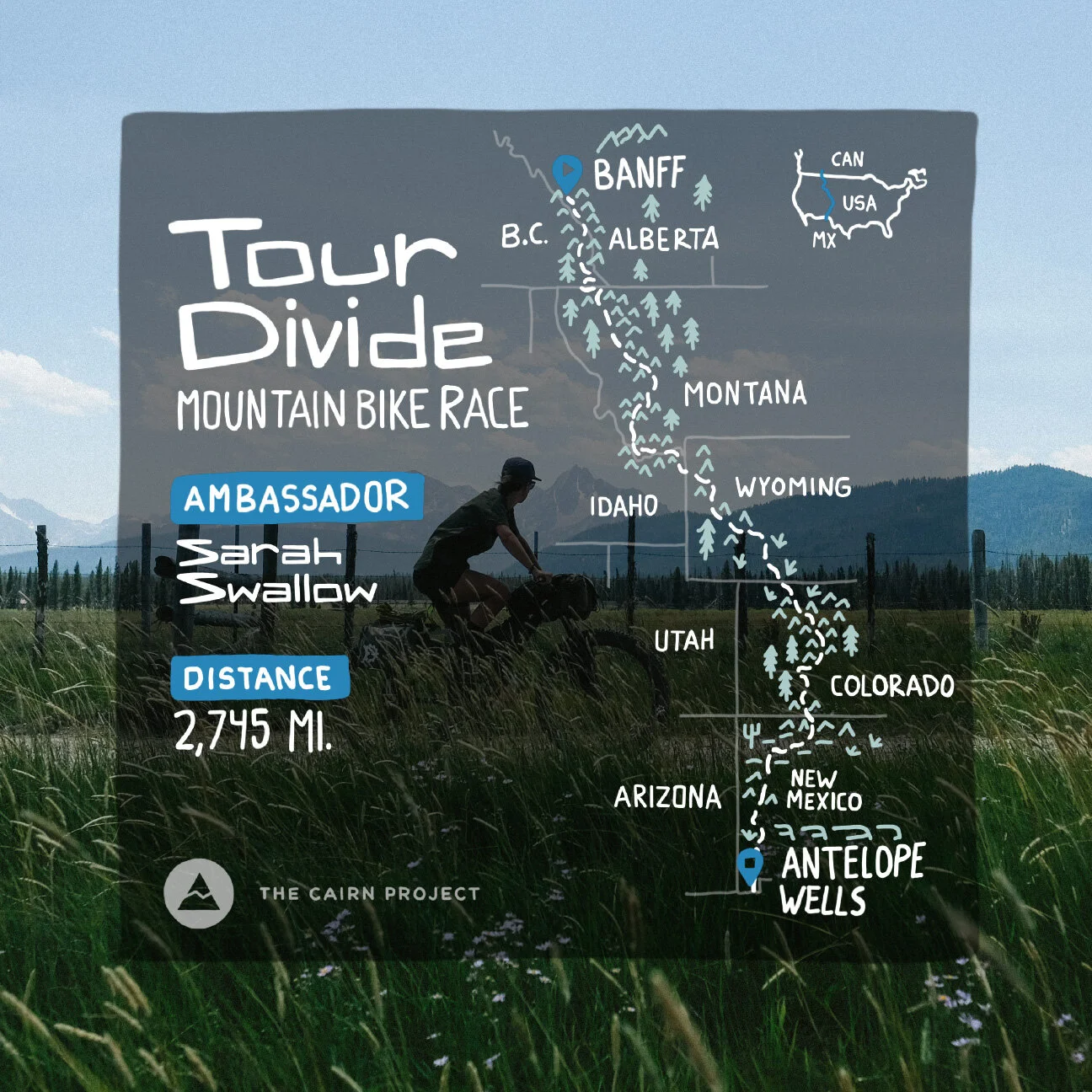
How To Follow My Ride on the Tour Divide/Great Divide Classic
How to track my progress on the Tour Divide in real time, along with links and tools to follow the route and updates.
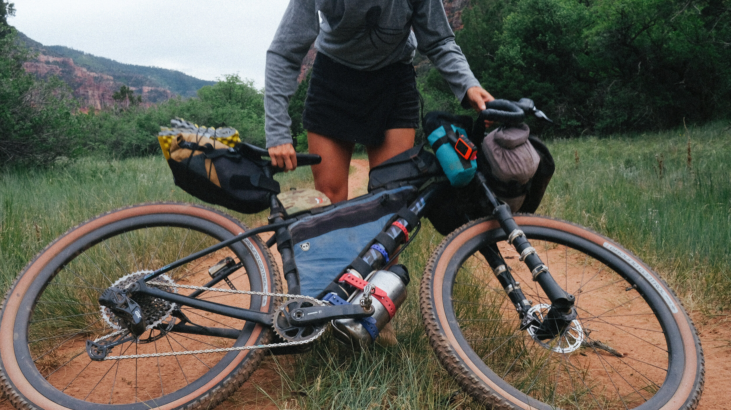
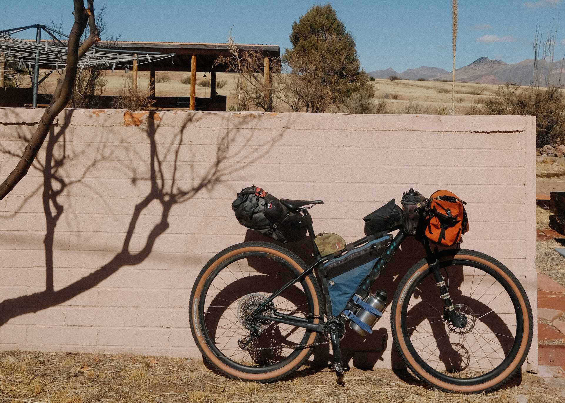
My 2021 Tour Divide / Great Divide Classic Detailed Packlist
A detailed look at the gear I used for the Tour Divide, including packing strategy and what worked (and didn’t) over a long-distance ride.
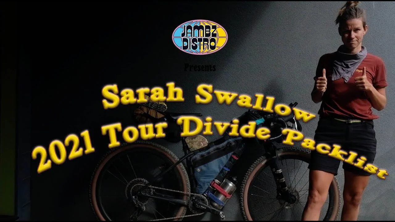
2021 Tour Divide Packlist Video
A video walkthrough of my Tour Divide gear setup, breaking down the essentials for long-distance bikepacking.
Update: My Gofundme Campagin for the Cairn Project
An update on fundraising efforts to support outdoor access for young women and girls through The Cairn Project.
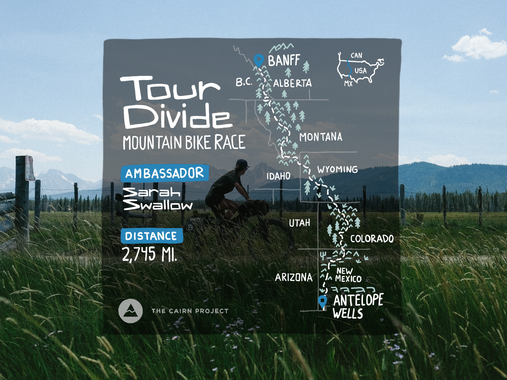
How I Am Preparing for The Tour Divide
A look at the physical, logistical, and mental preparation that goes into getting ready for the Tour Divide.
How Finding What I Love To Do Outdoors Changed My Life Trajectory
A personal reflection on discovering purpose through outdoor experiences and how it reshaped my path.
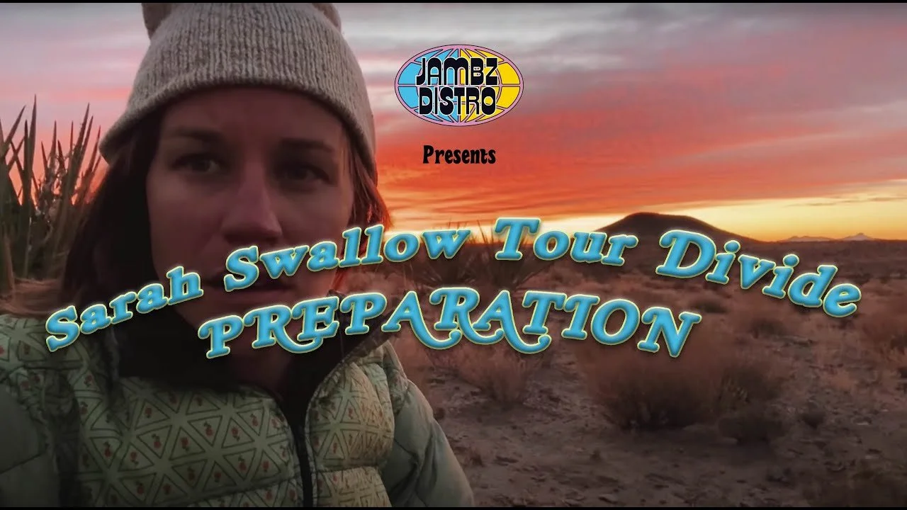
Tour Divide Preparation Video: Why, Expectations, and Q & A
A video covering my motivations for riding the Tour Divide, along with expectations and common questions about the experience.
The Tour Divide and The Cairn Project
Connecting the Tour Divide ride to a broader mission of supporting access and opportunity in the outdoors.
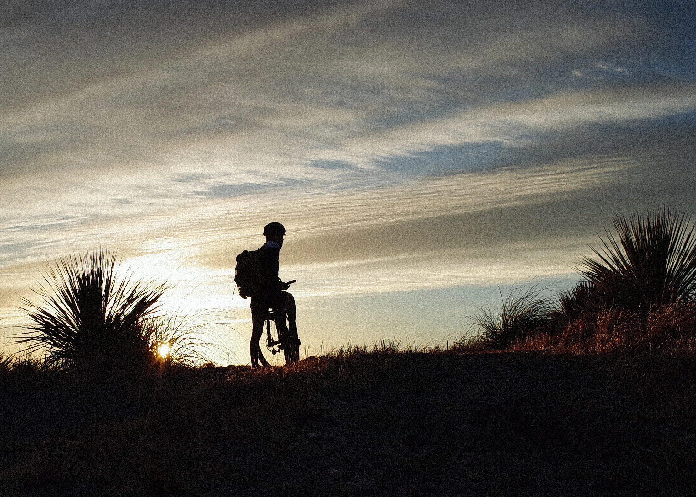
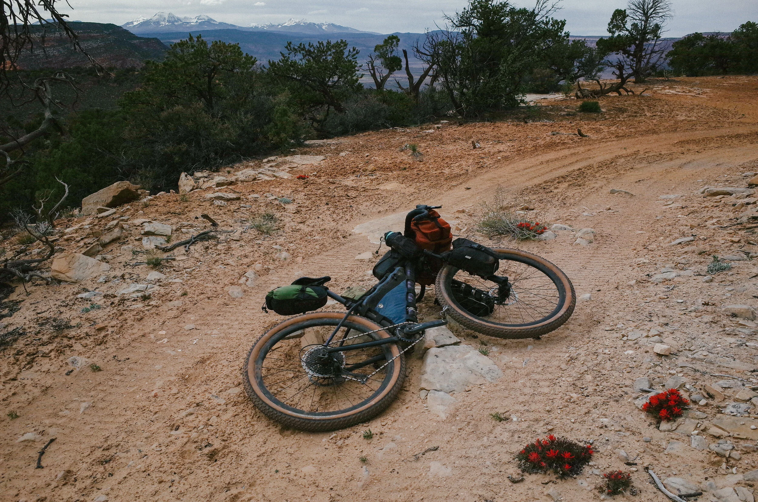
Goodbye Arizona
A transition piece reflecting on leaving Arizona and the experiences that shaped that chapter.
E-Bikes: My Initial Impressions
An honest take on riding e-bikes, exploring both the benefits and the questions they raise within cycling culture.
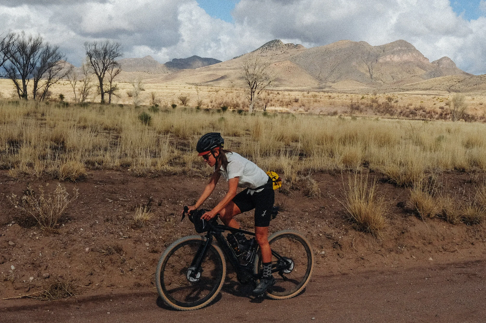
Living On The Research Ranch
A glimpse into daily life on a remote research ranch in southern Arizona, where cycling and conservation intersect.
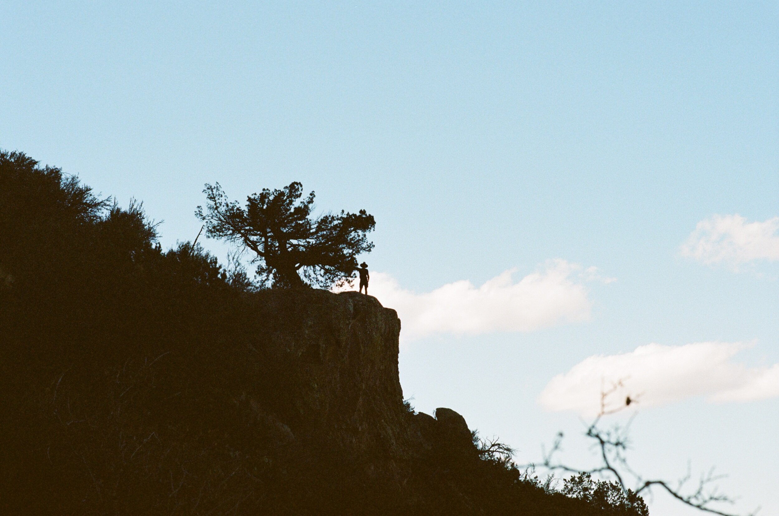
A Getaway in the Chiricahua Mountains
A short escape into the Chiricahua Mountains, combining riding, landscape, and time spent off the grid.
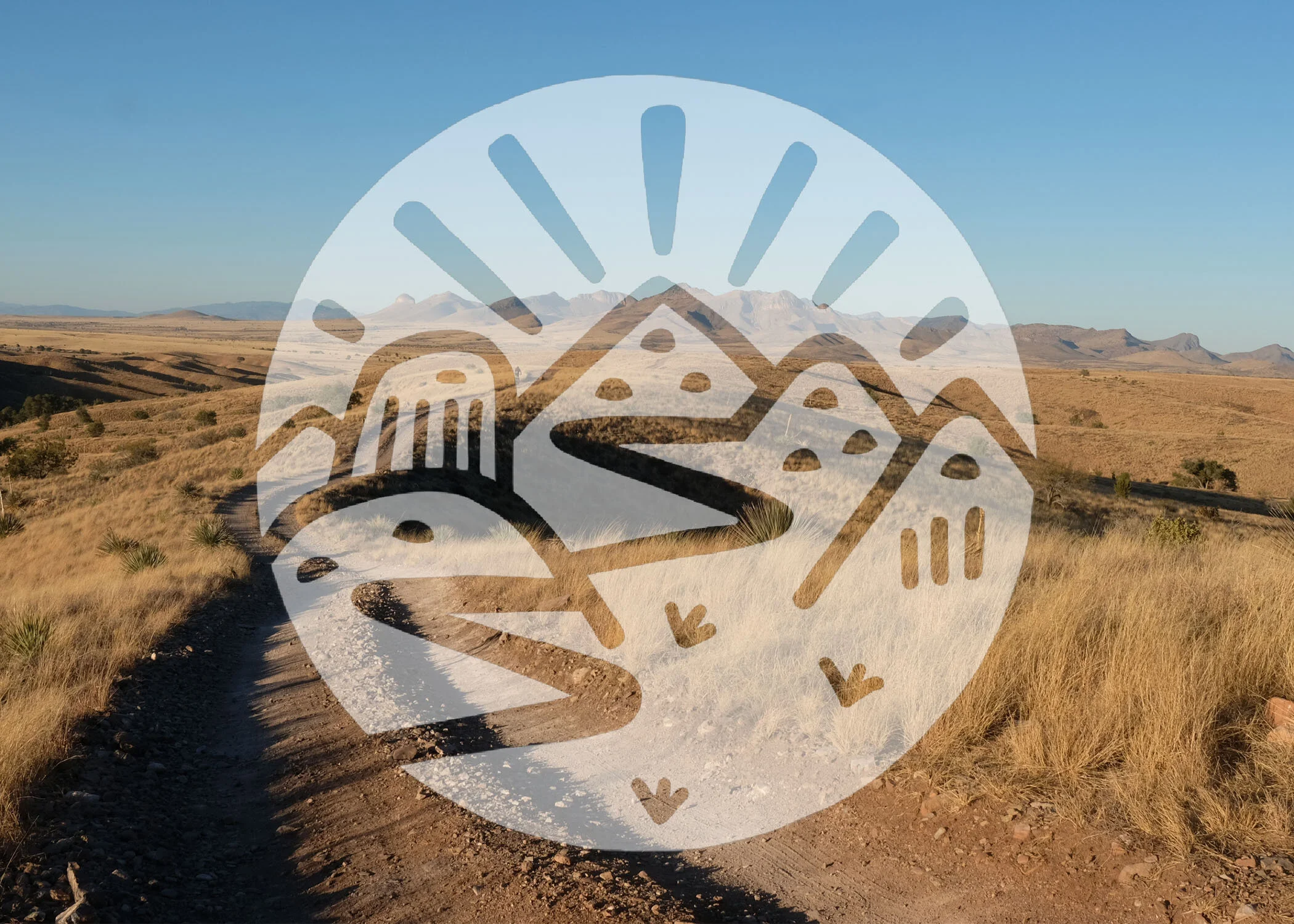
Sarah Swallow's Logo by Mary Lytle
The story behind a logo - exploring the meaning, symbolism, and collaboration that shaped the final design.
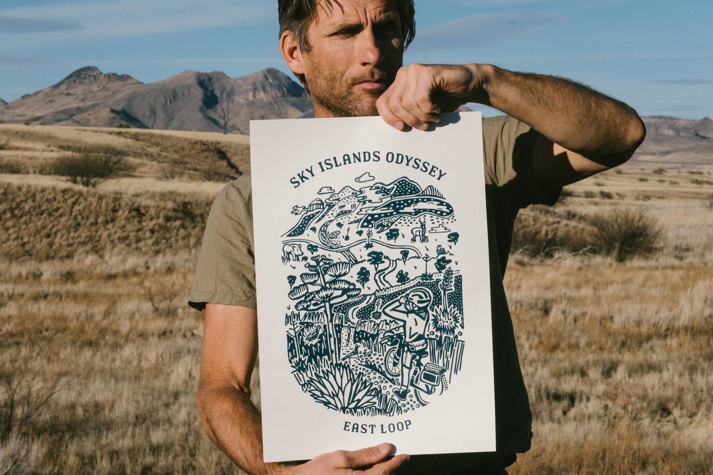
Sky Islands Odyssey East Loop Print Pre-Order
An announcement for a limited print inspired by the Sky Islands Odyssey, created in collaboration with artist Mary Lytle.

Humanitarian Crisis in the Borderlands
A look at the realities of migration through the Arizona borderlands and the impact of policy on human lives.
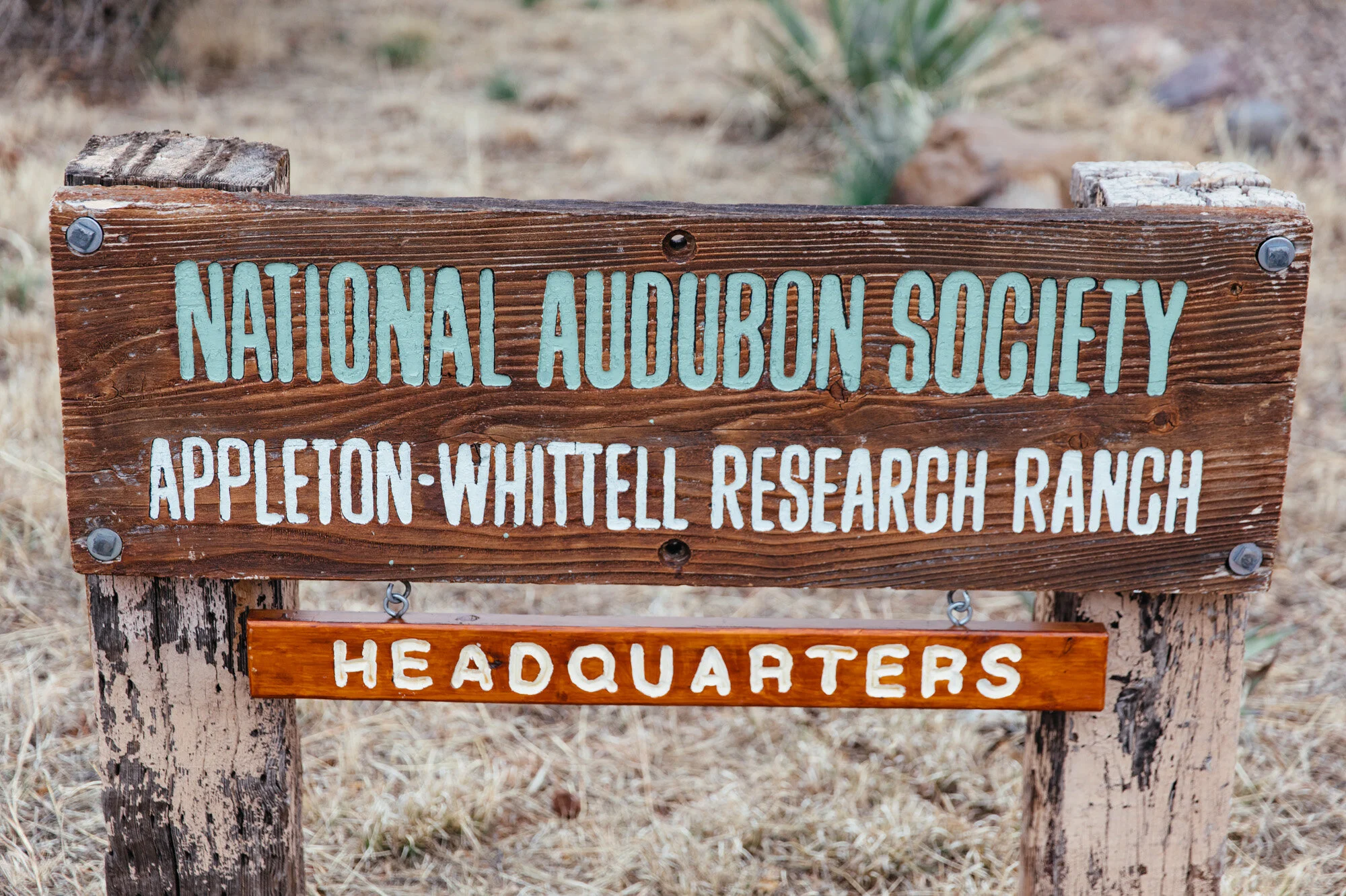
The Appleton-Whittell Research Ranch
An introduction to the research ranch and its role in conservation, cycling, and community in southern Arizona.
Growing Pains and a Healing Journey
A personal reflection on growth, accountability, and the process of navigating change.
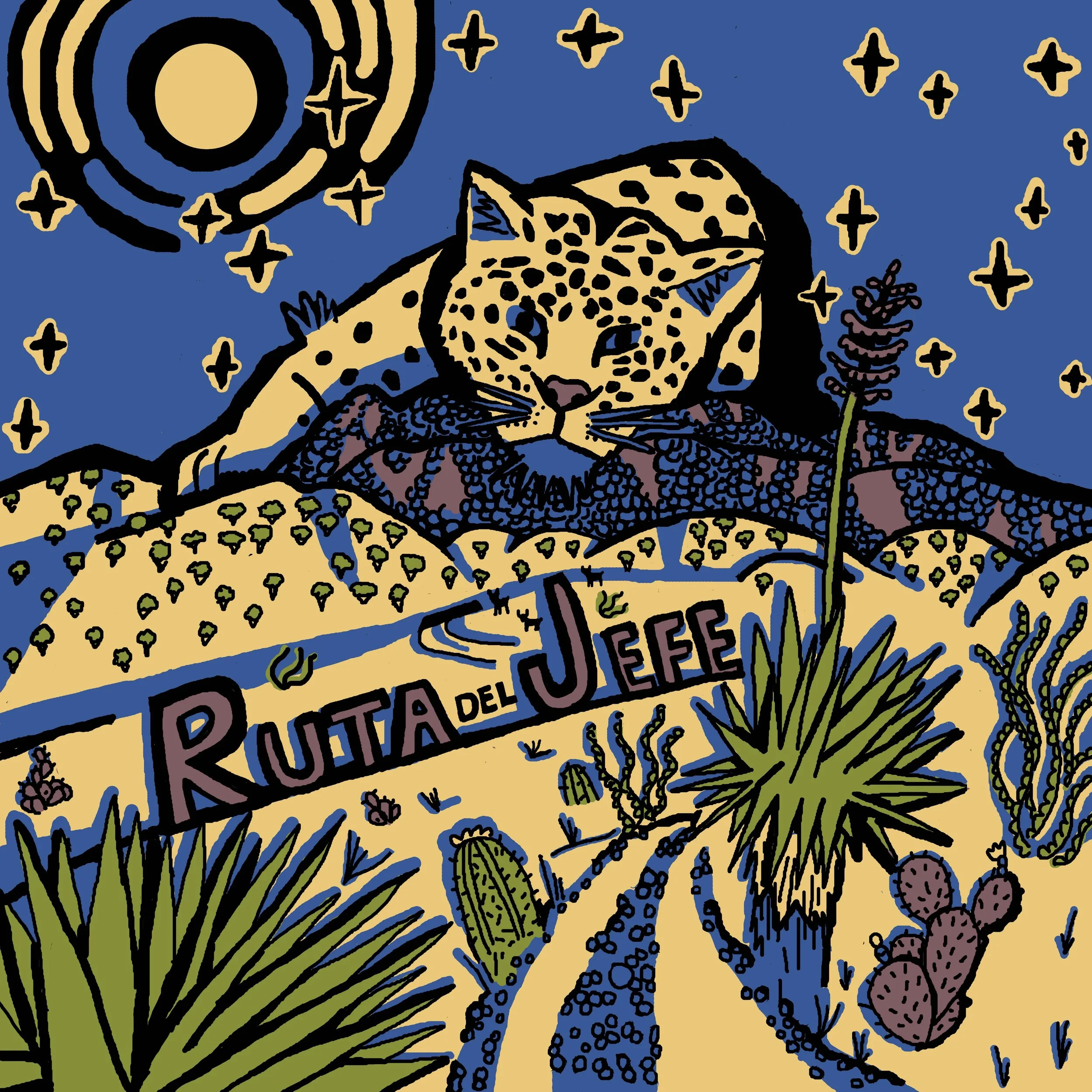
Ruta Del Jefe 2021 Update
An update on the event and the decision to postpone, along with reflections on responsibility and timing.
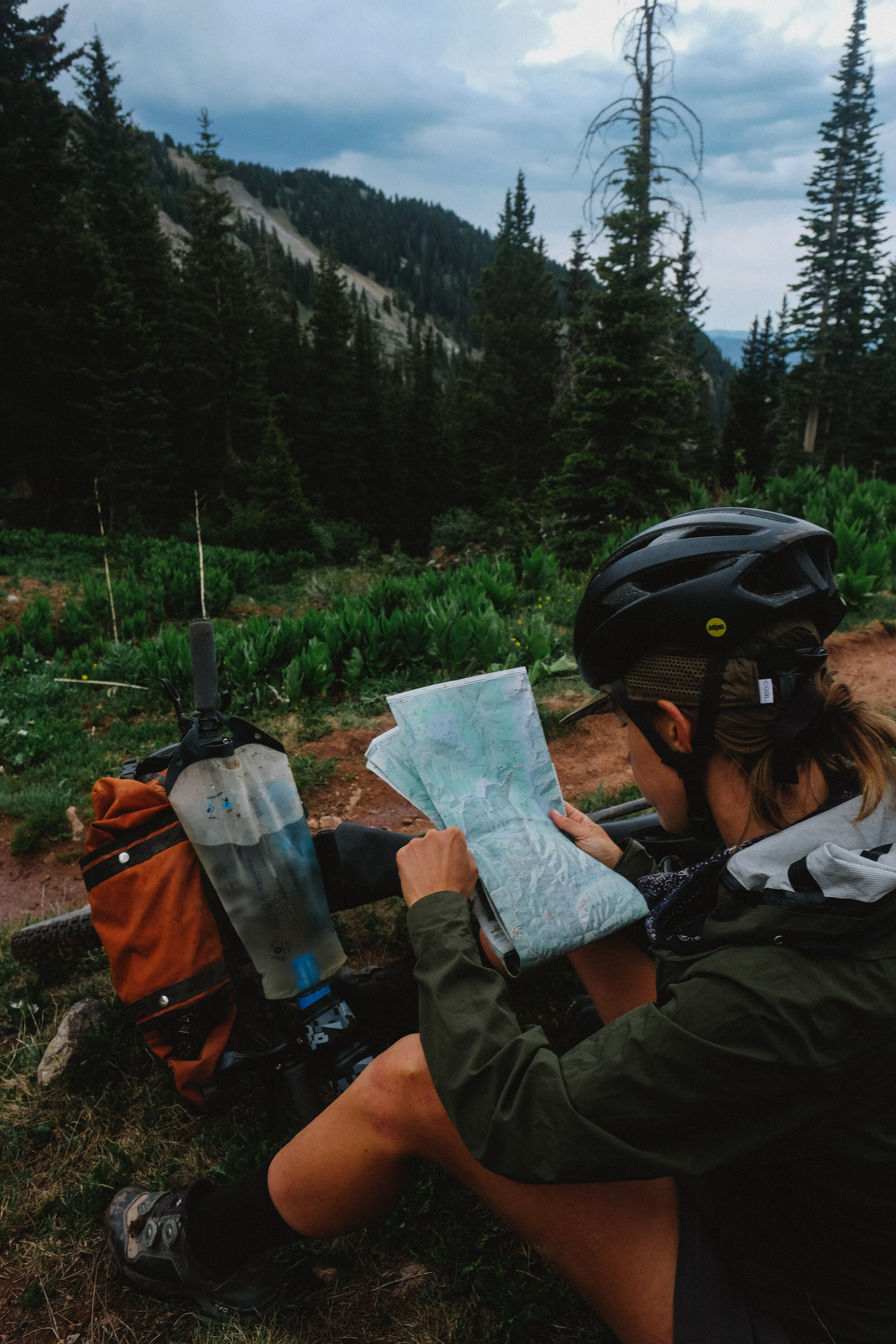
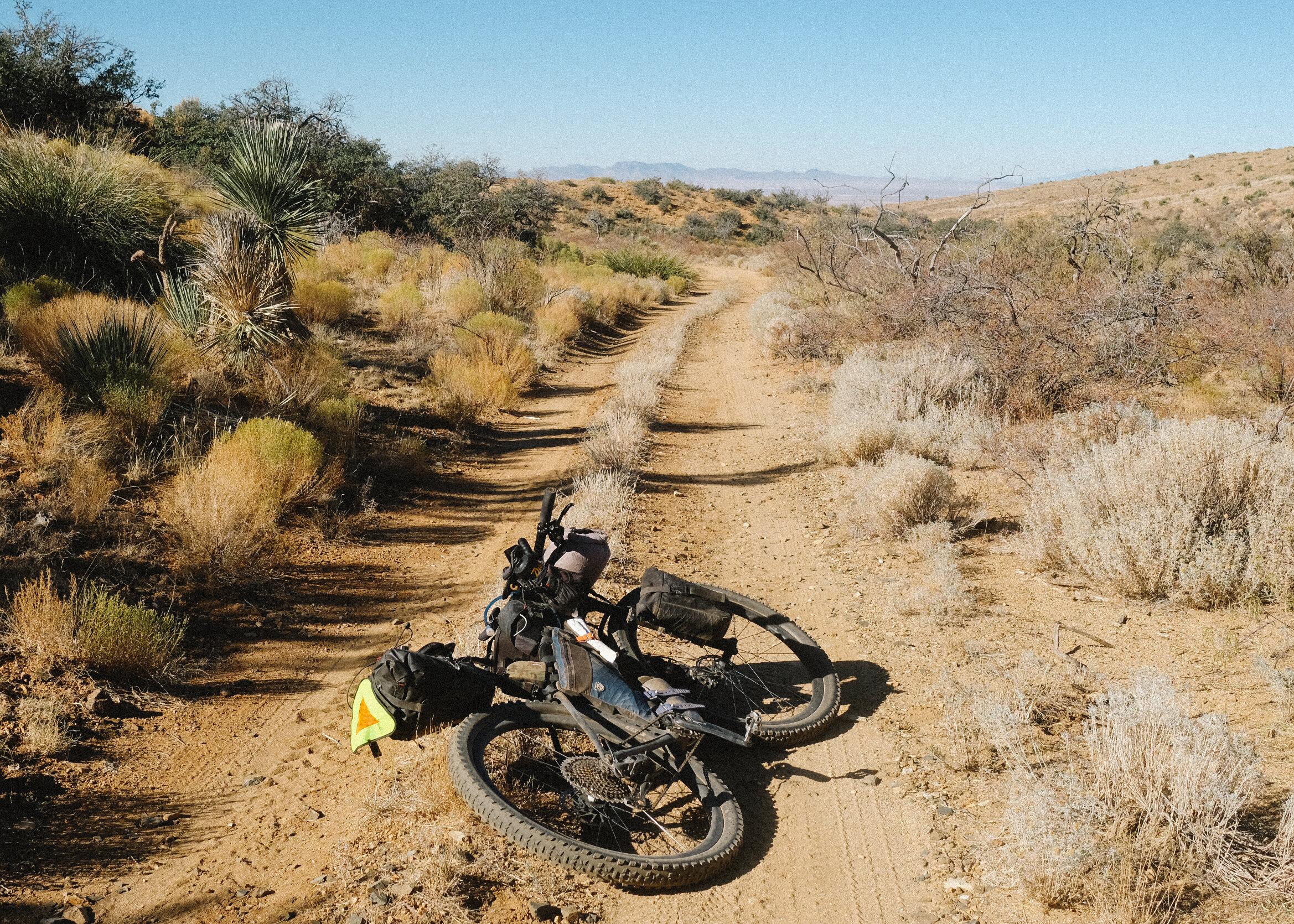
Routing and Navigation: Tools for Confidence and Independence on the Bicycle
A guide to route planning and navigation tools to help build confidence and independence on the bike.