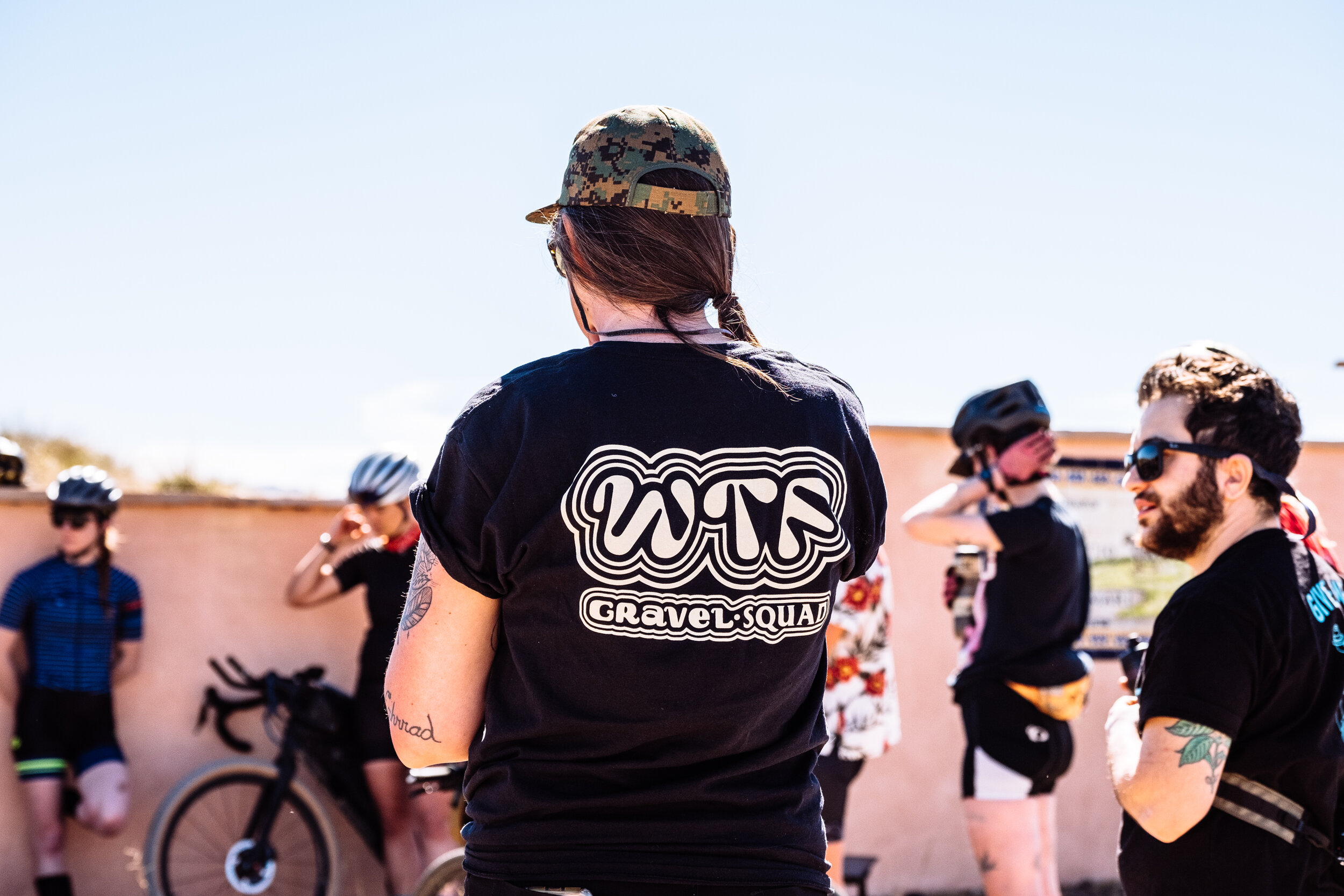
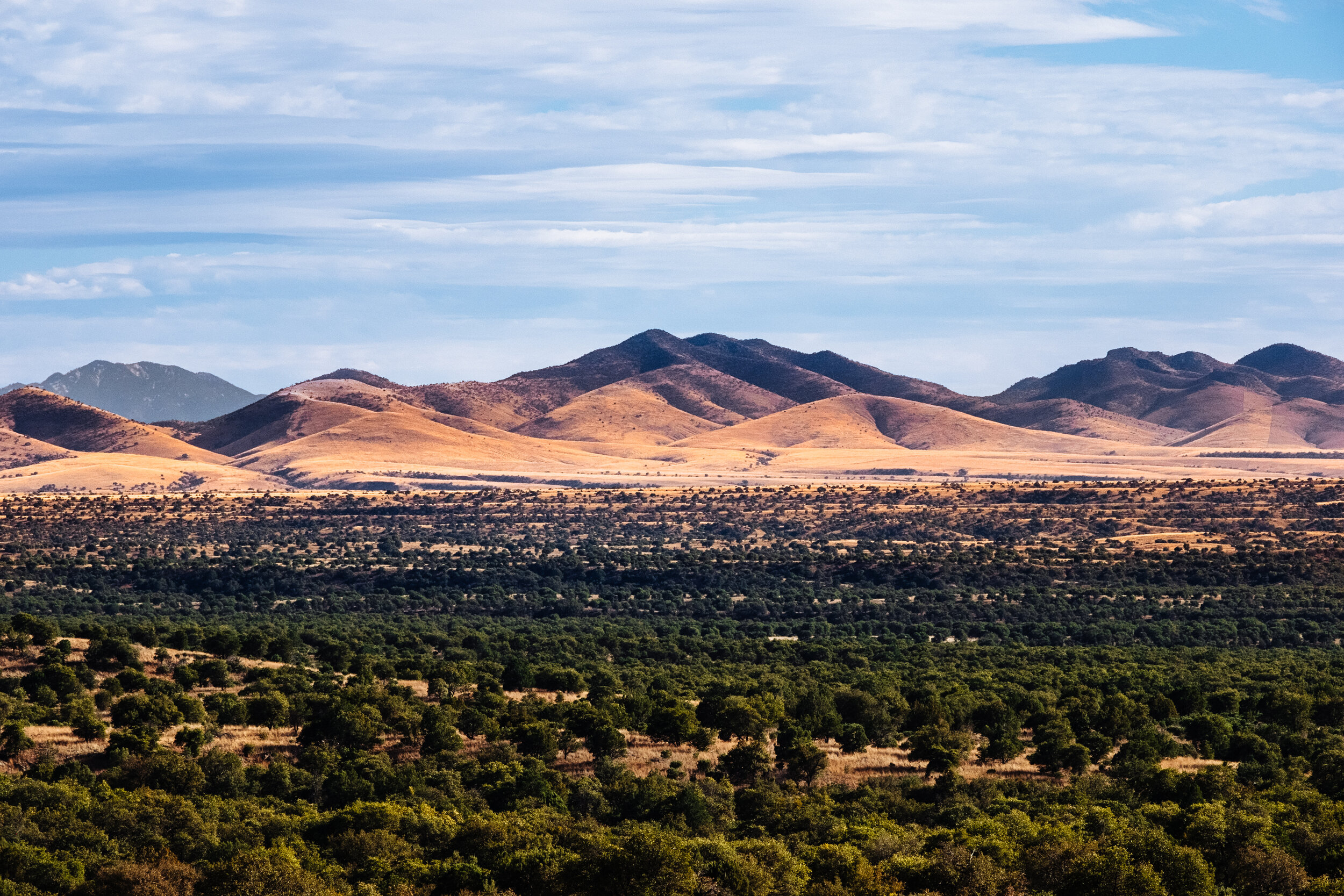
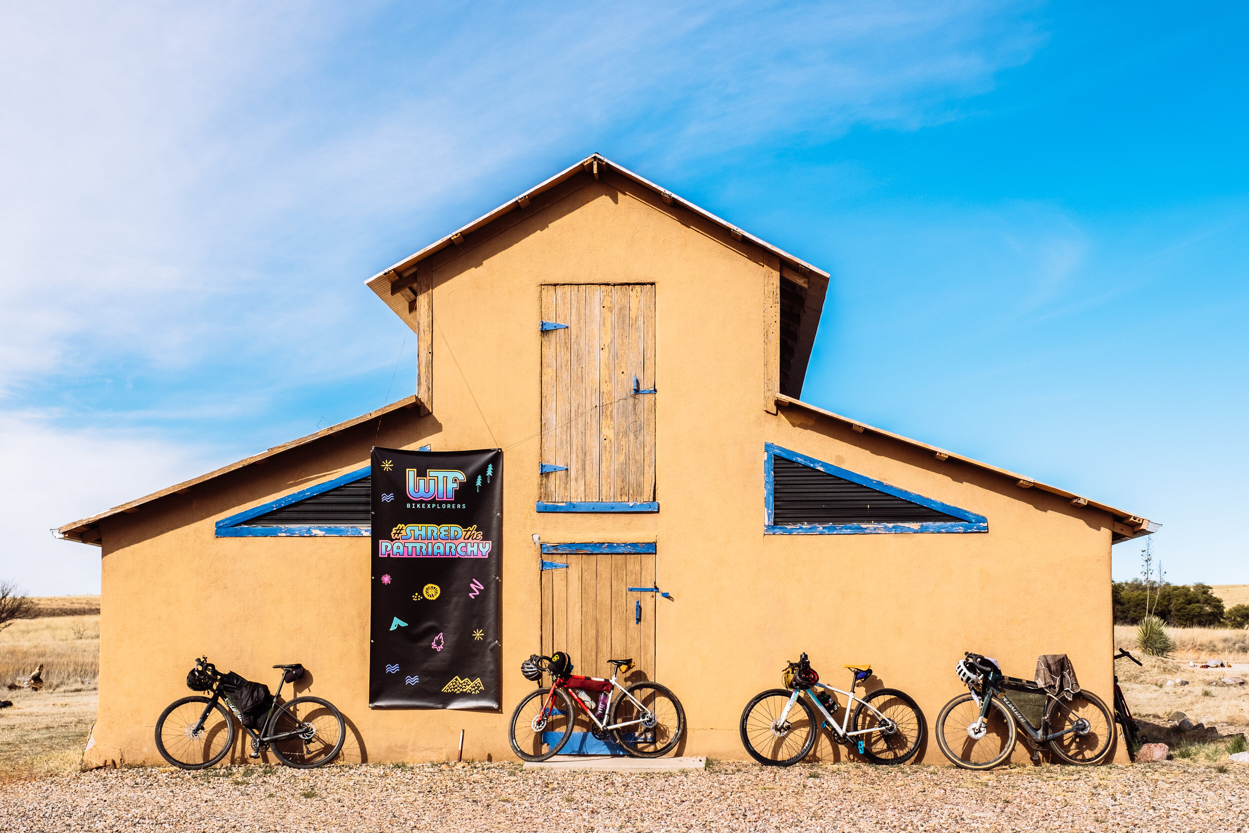
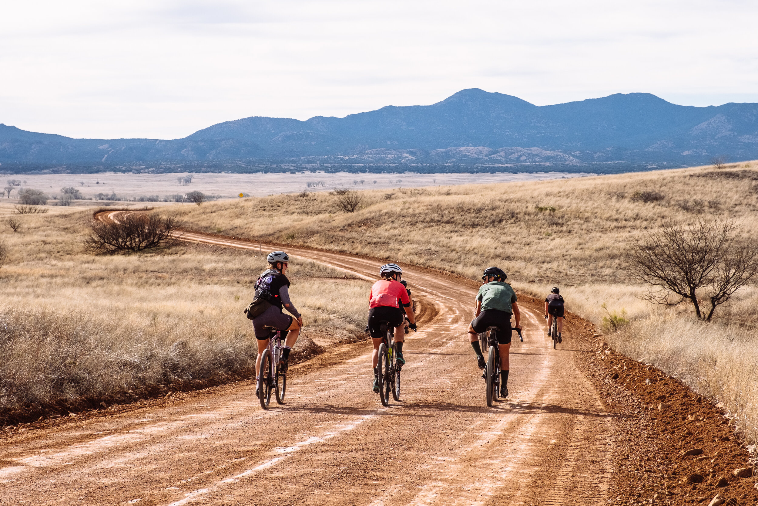
Ruta Del Jefe Film Release, 2020 Date Announcement, Latest News, and Action Items

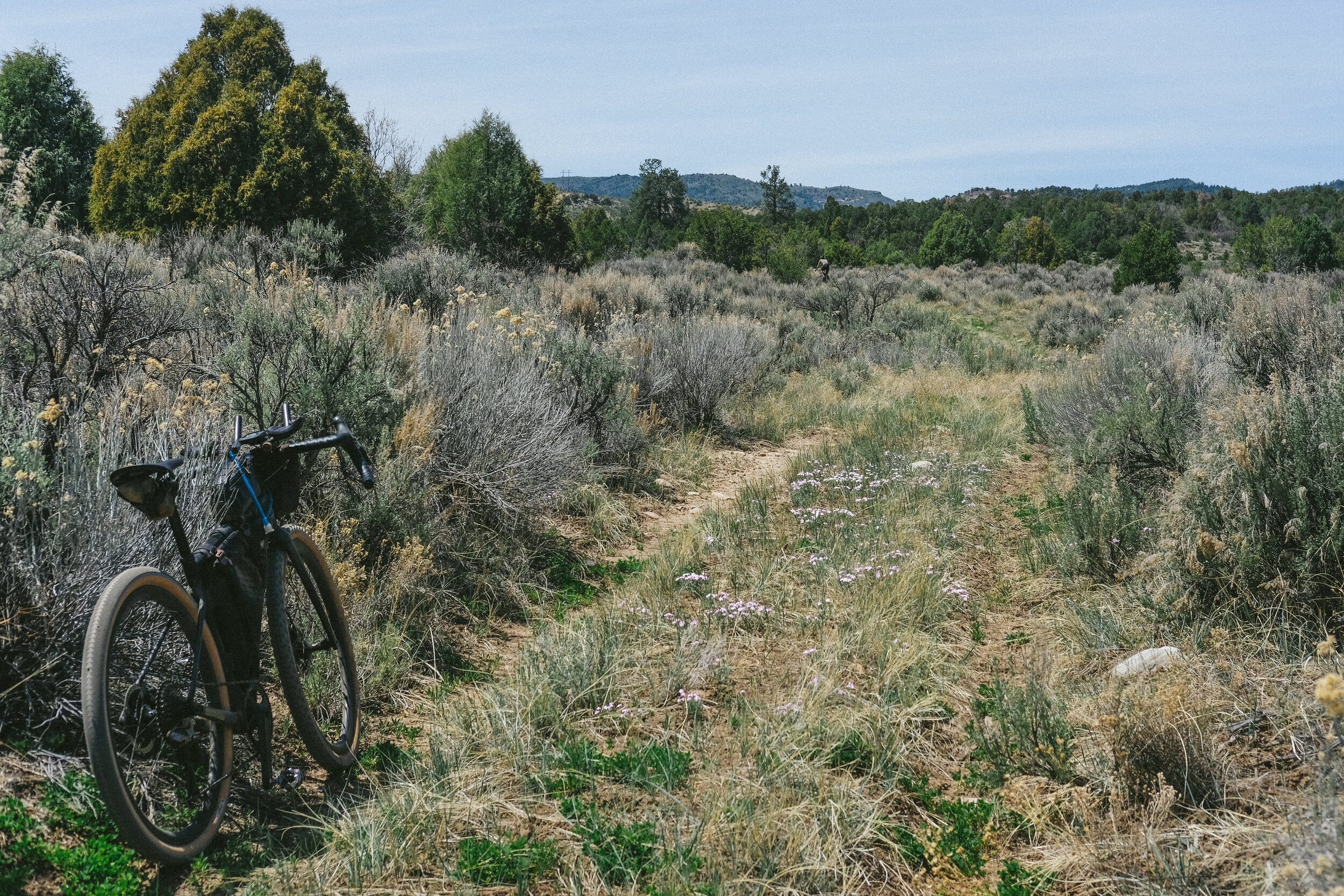
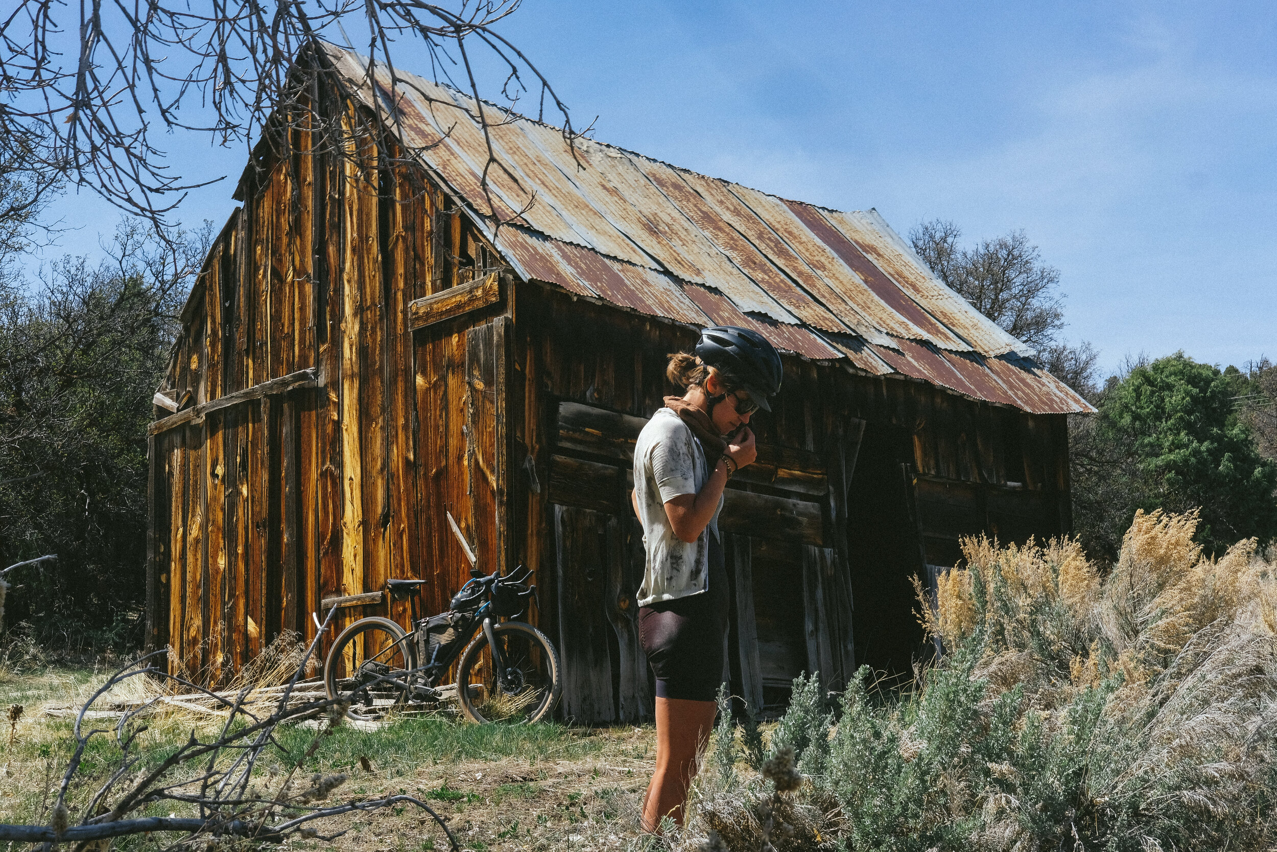
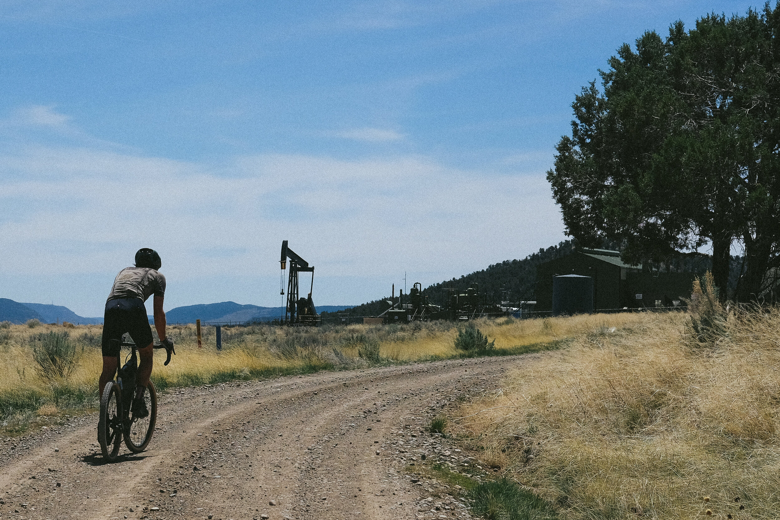
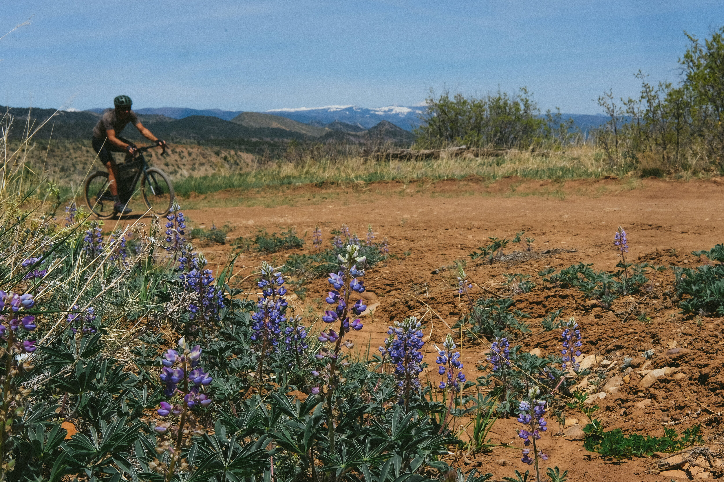
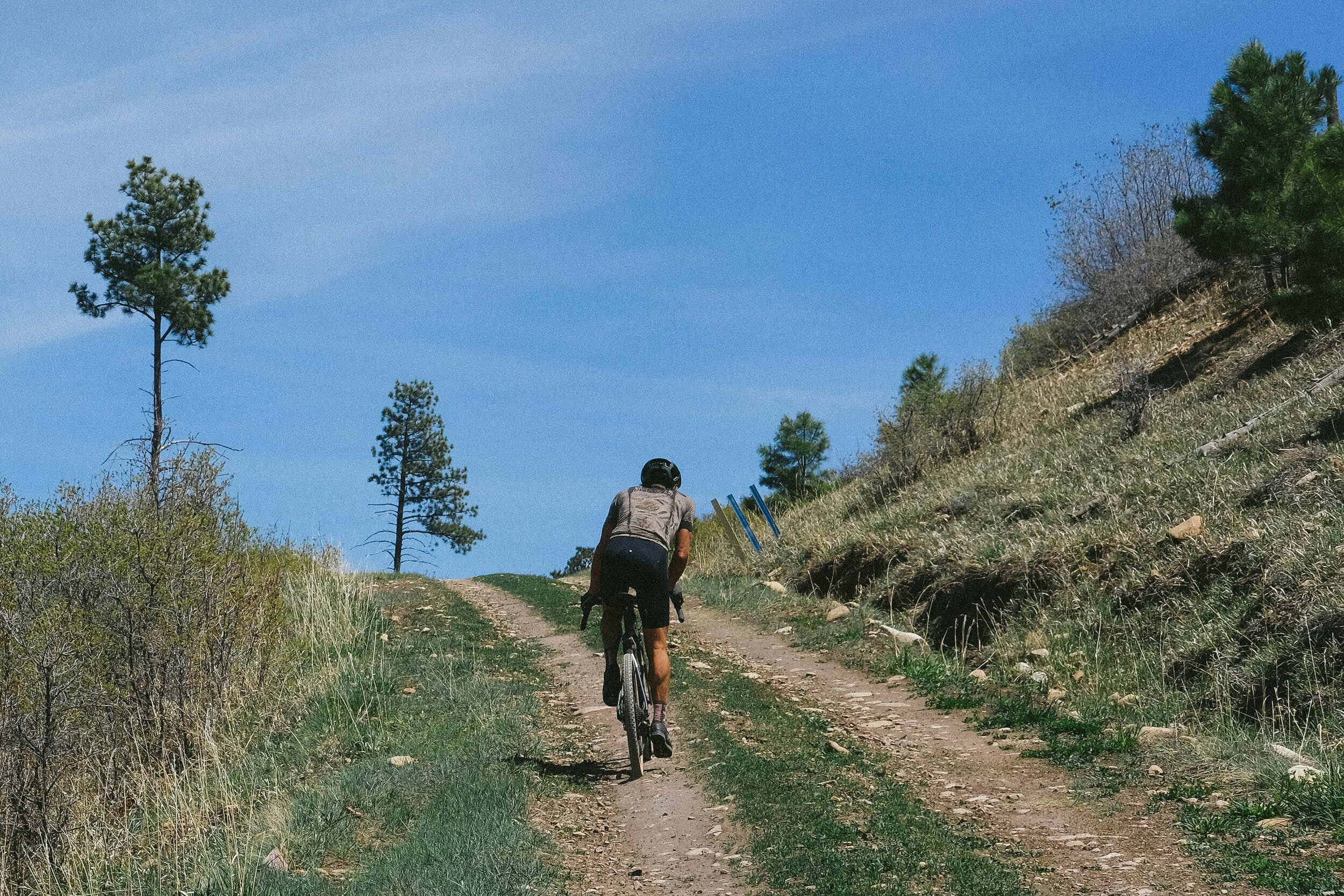
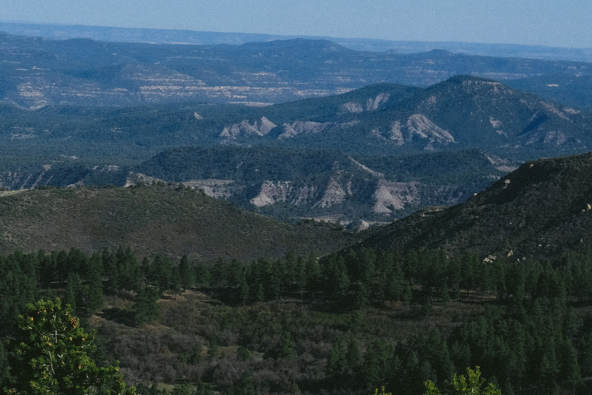
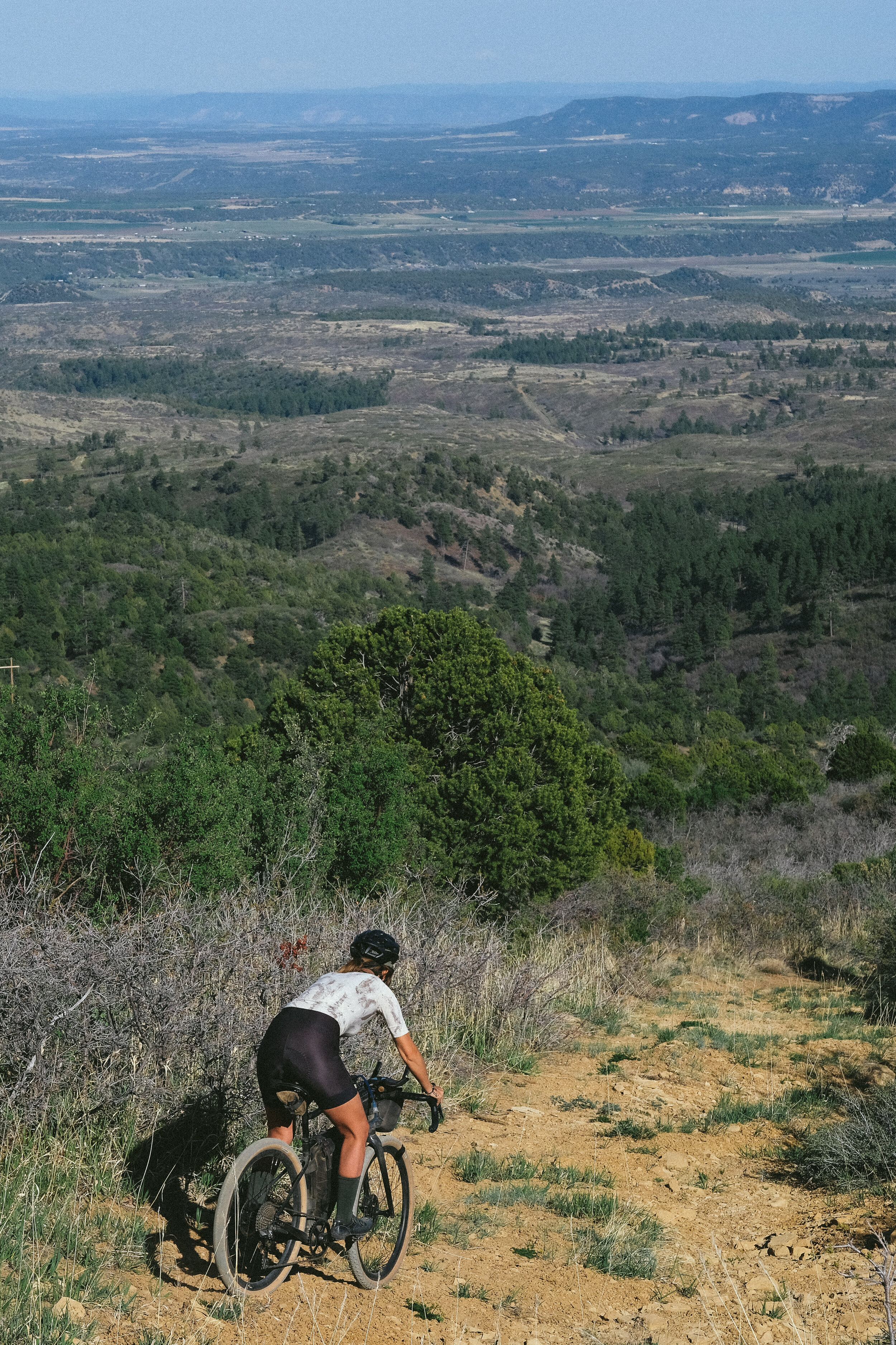
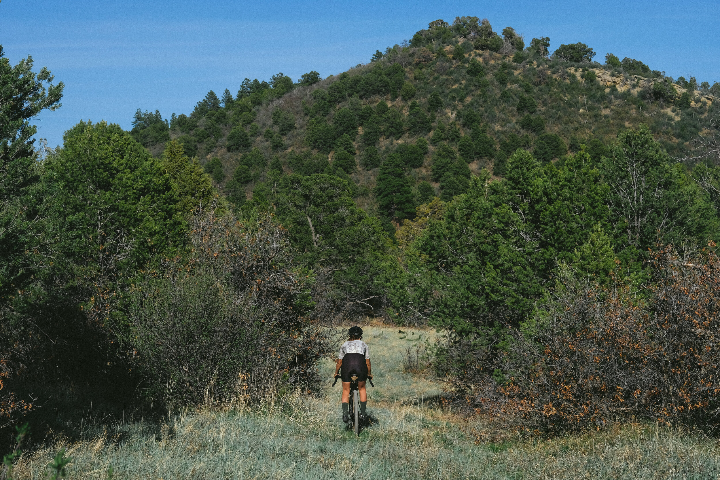
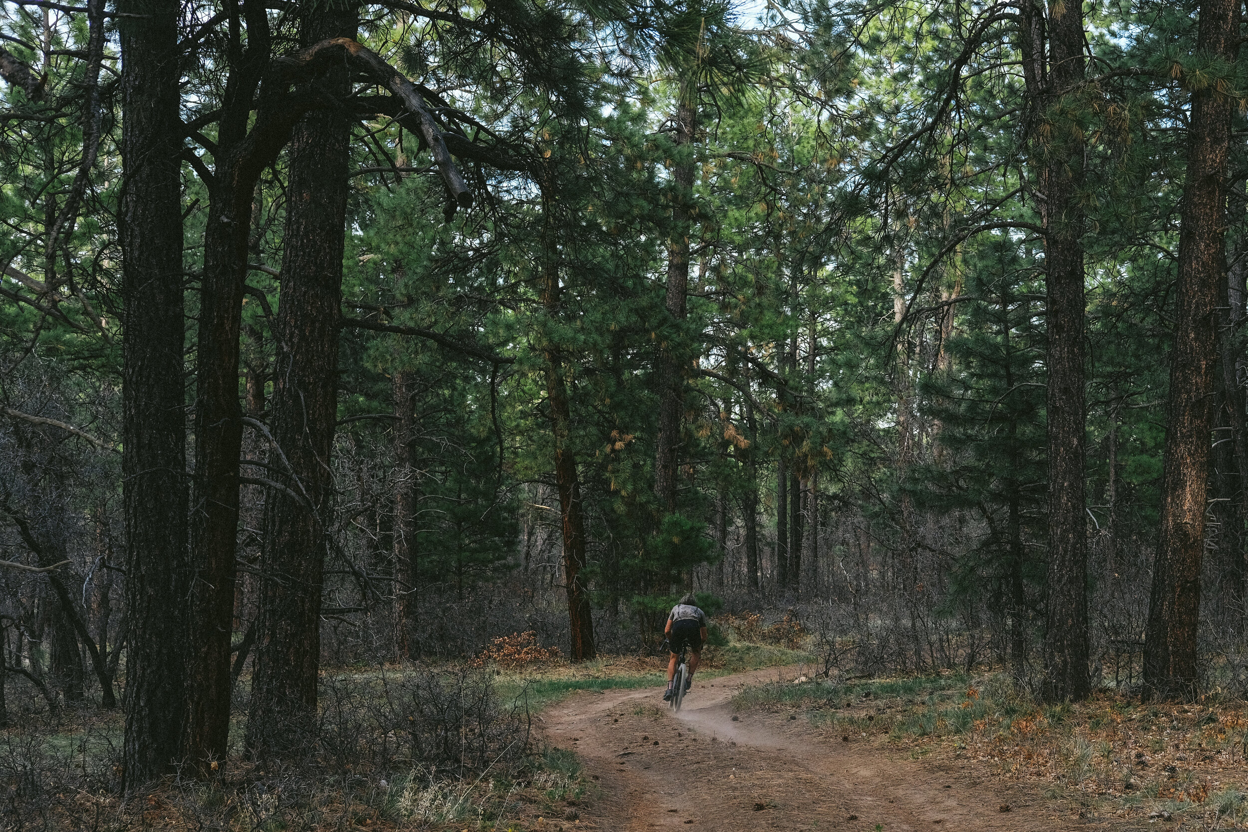
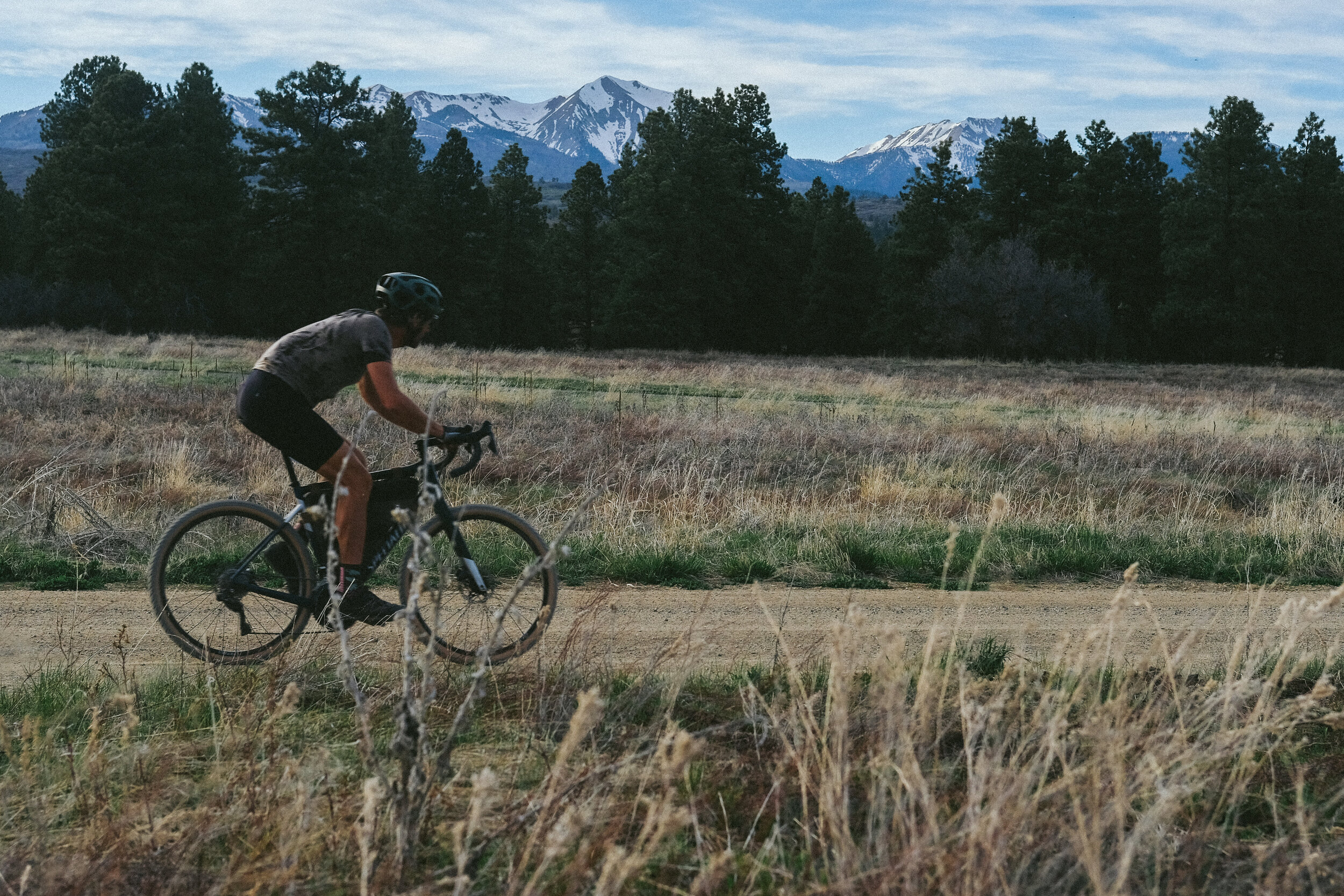
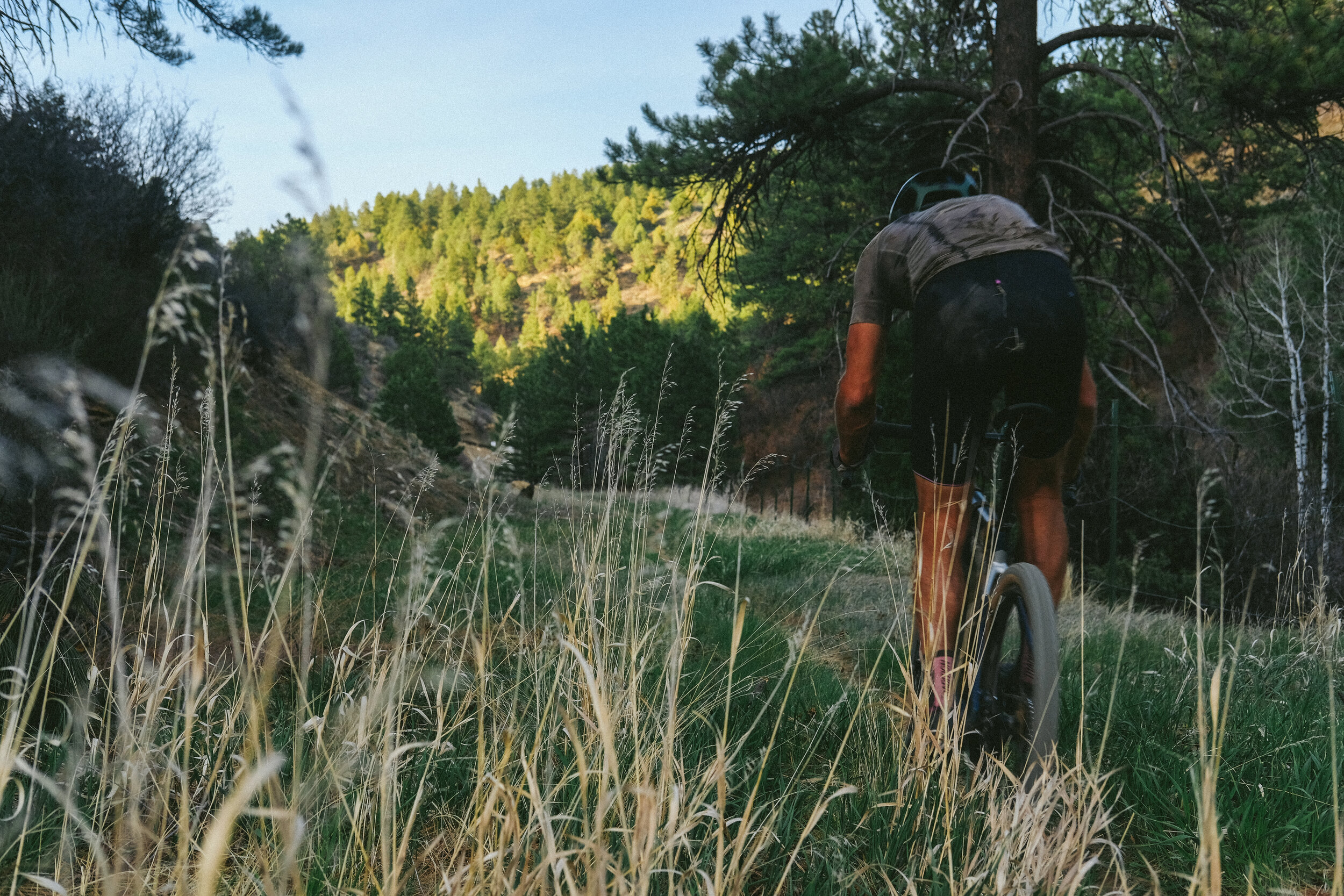
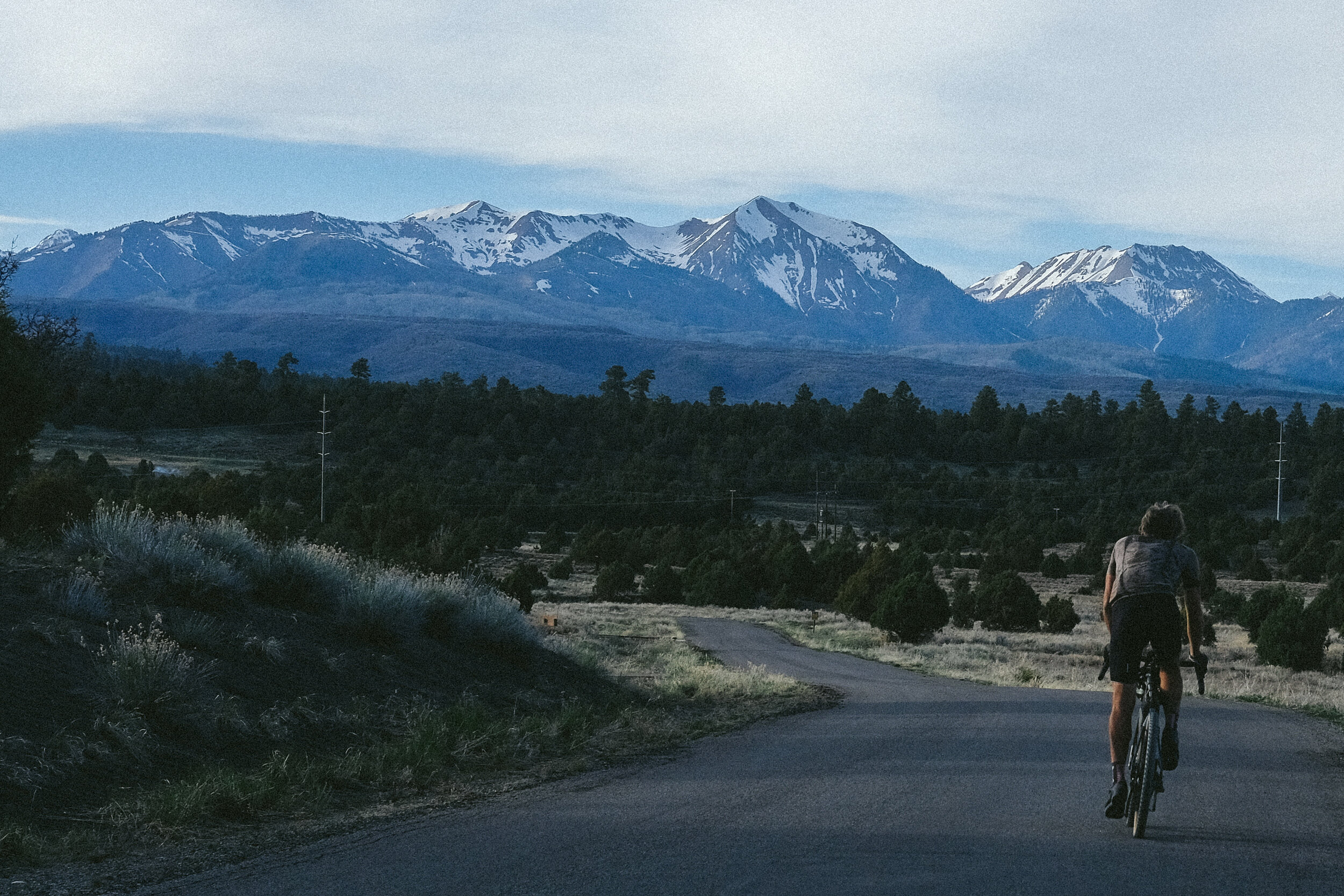
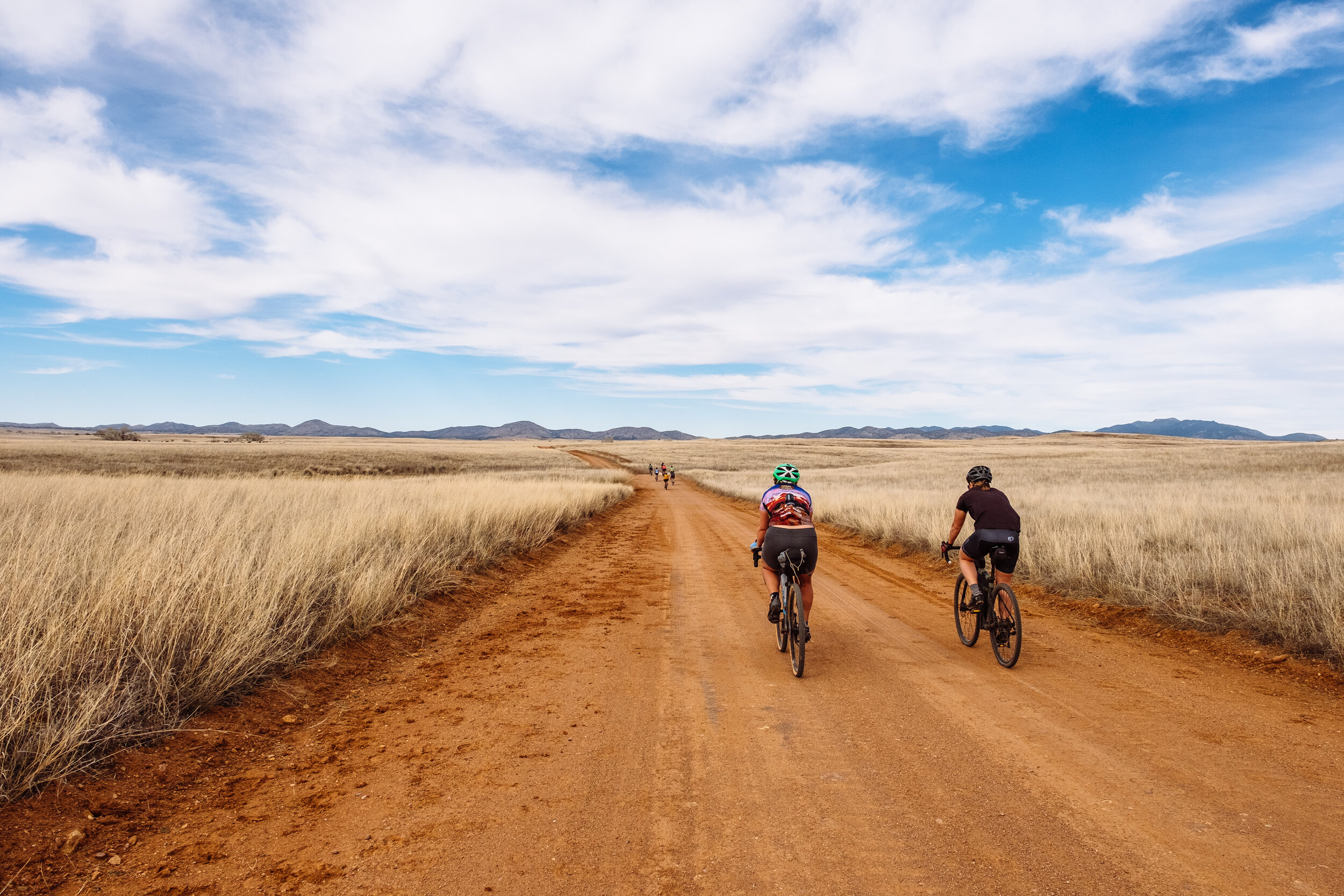
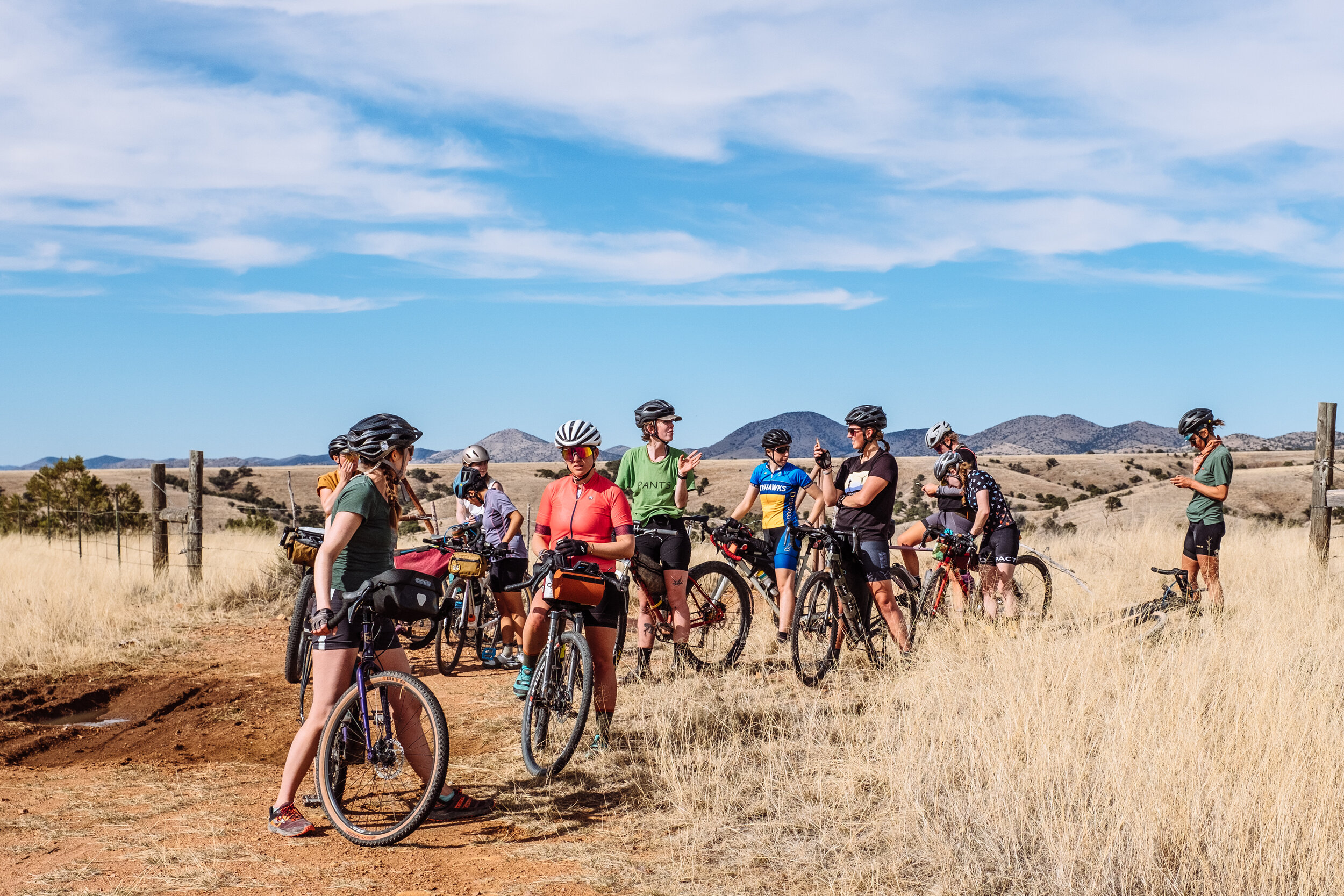
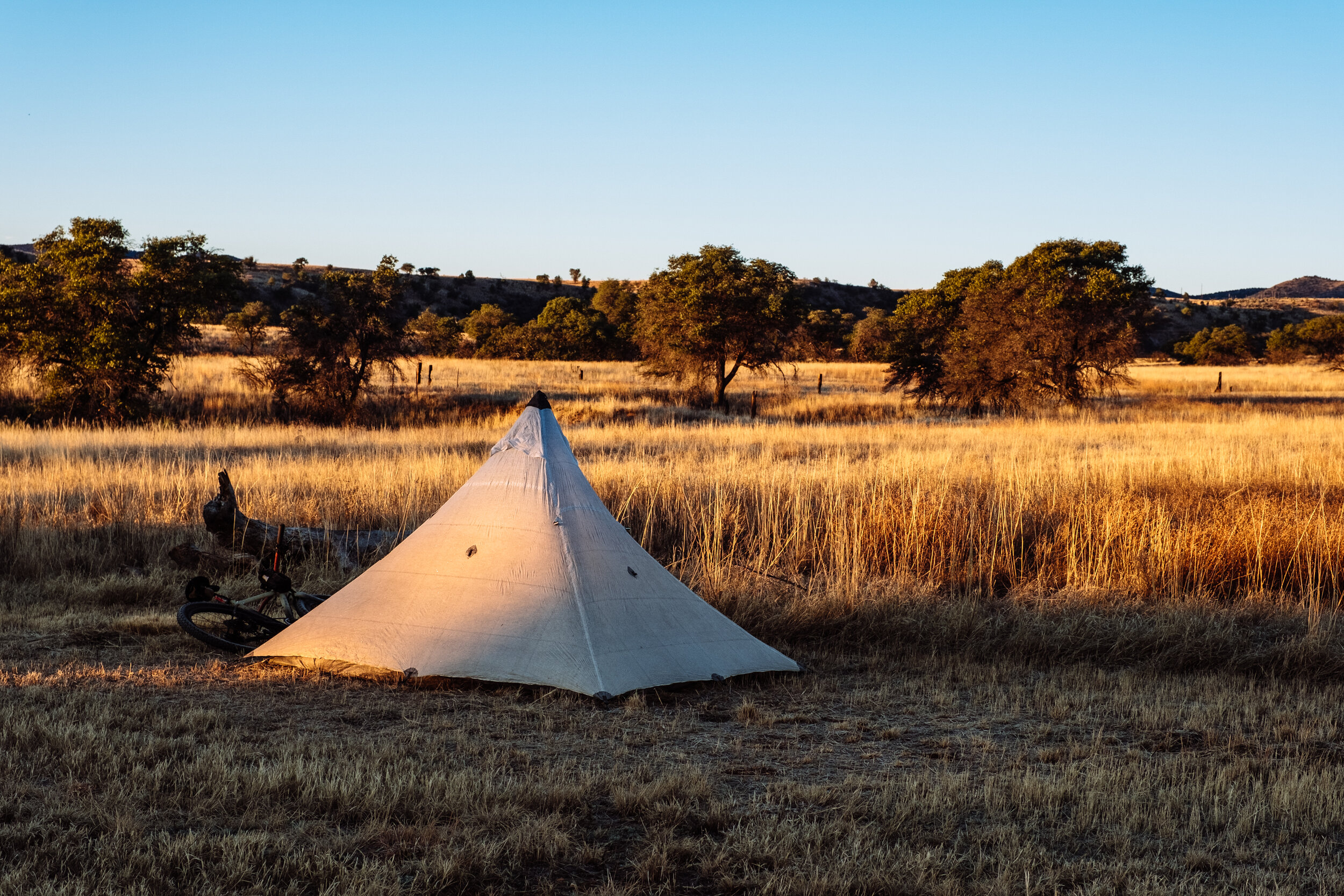
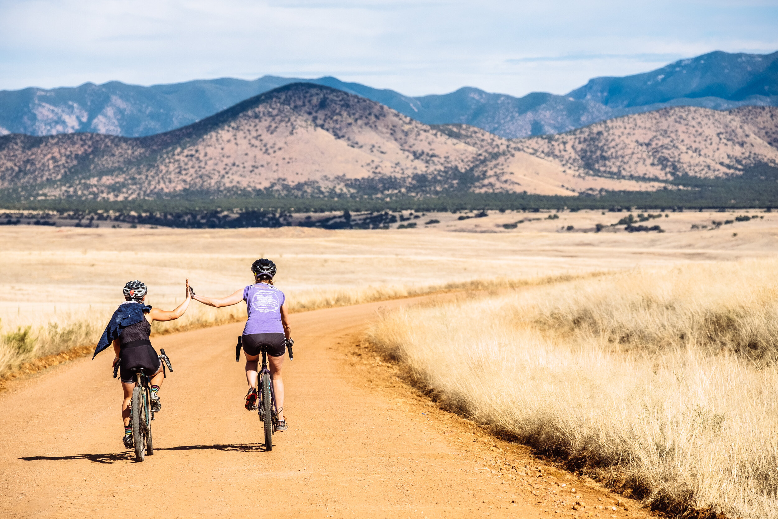
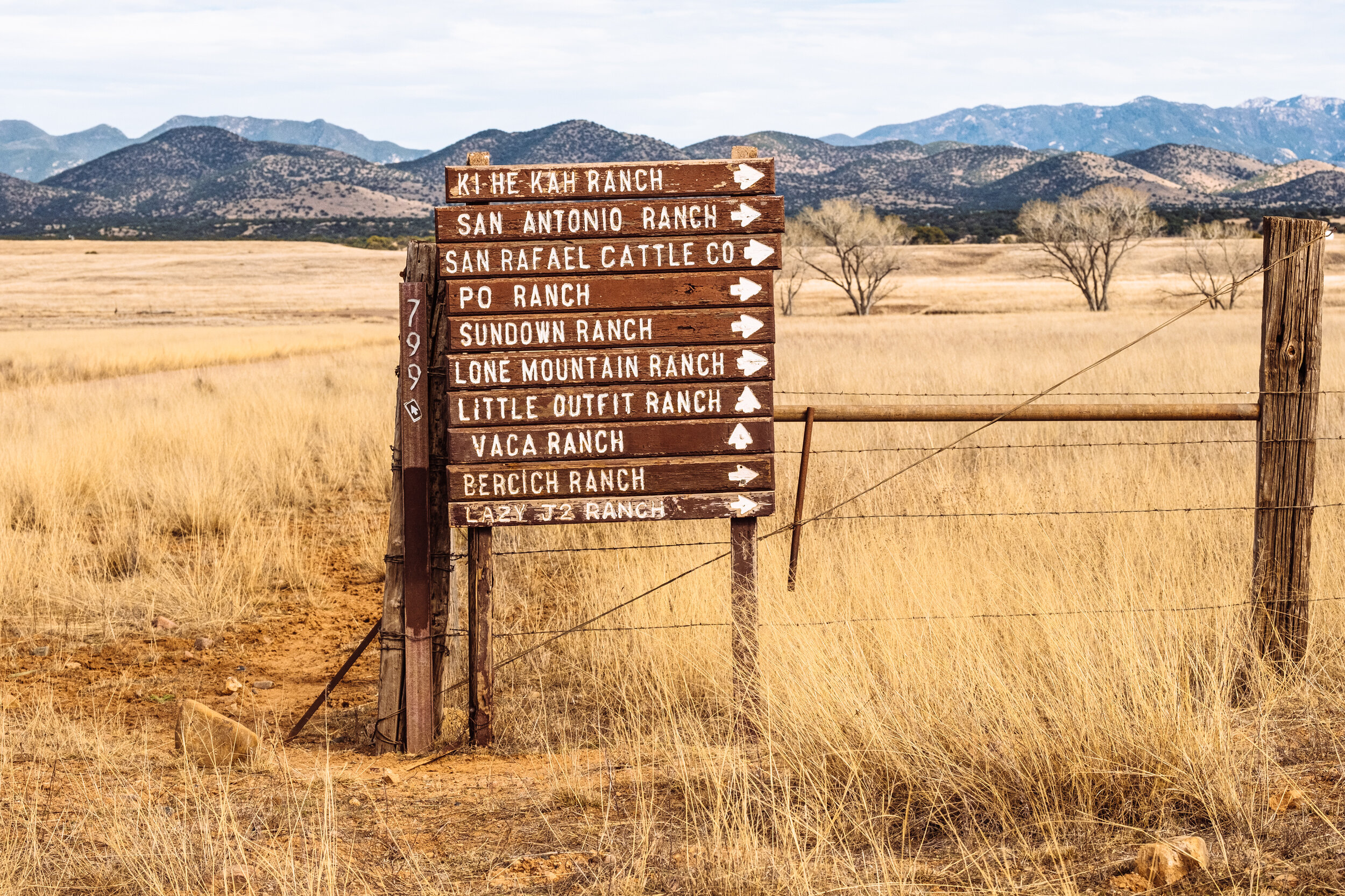
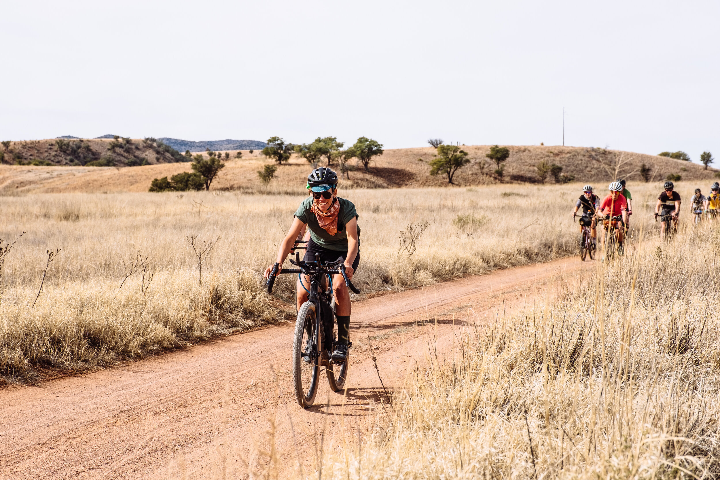
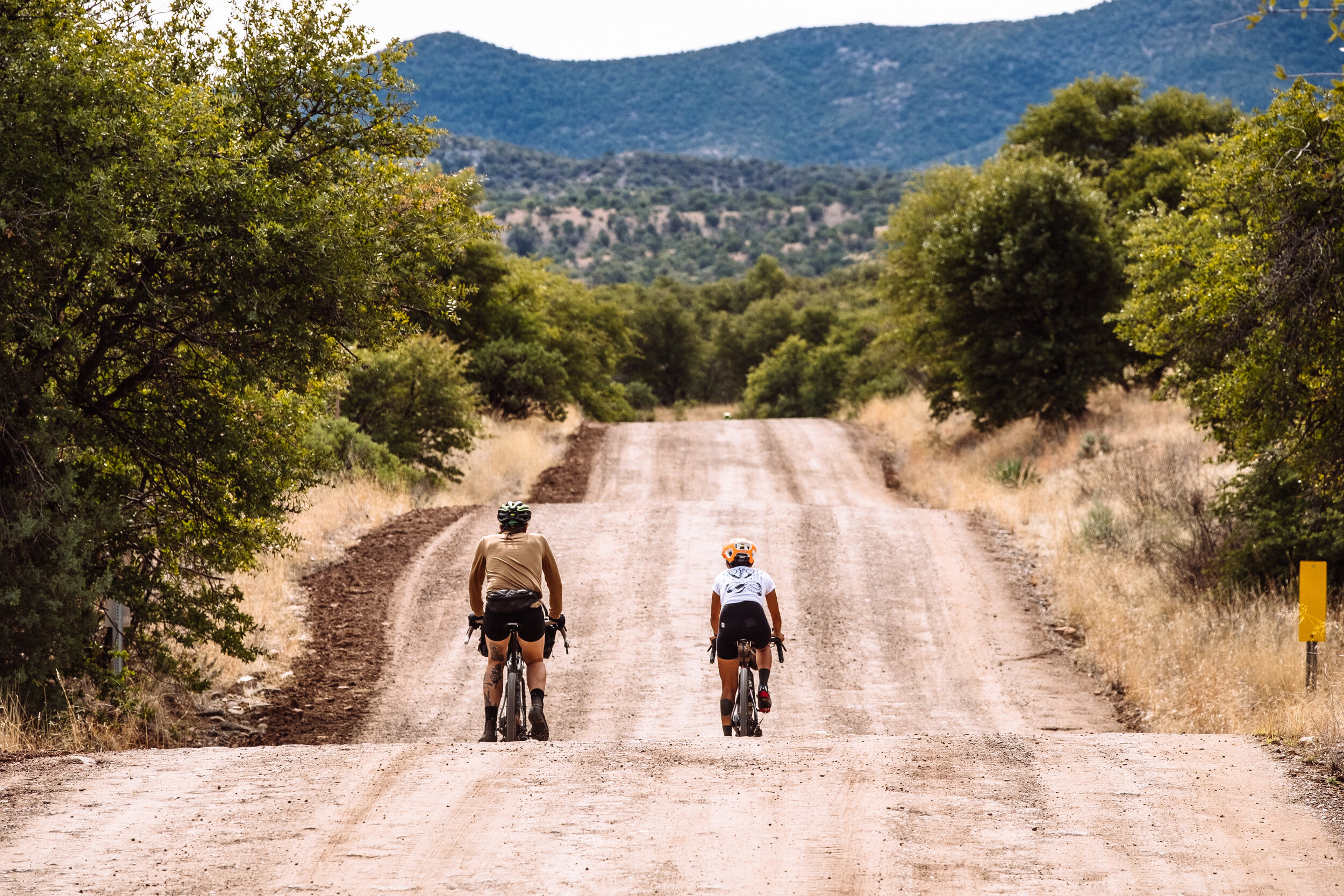
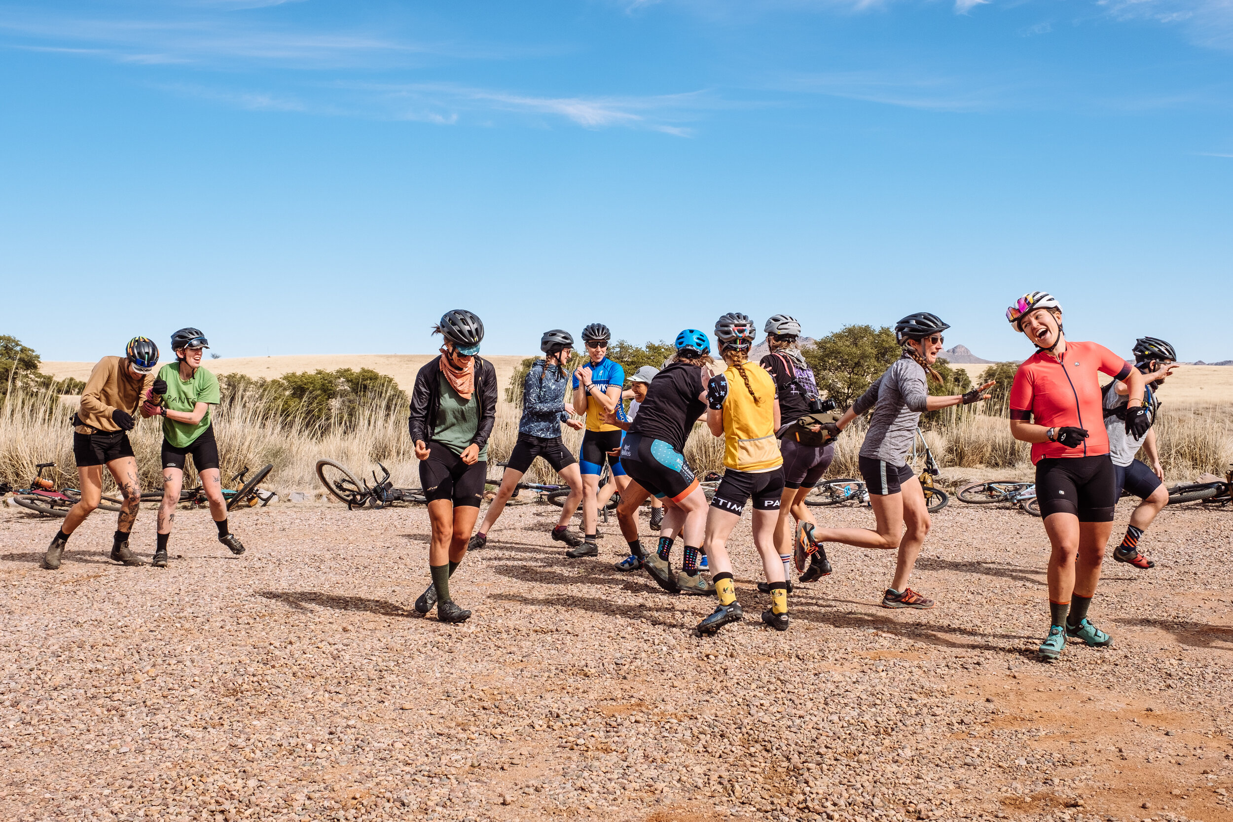
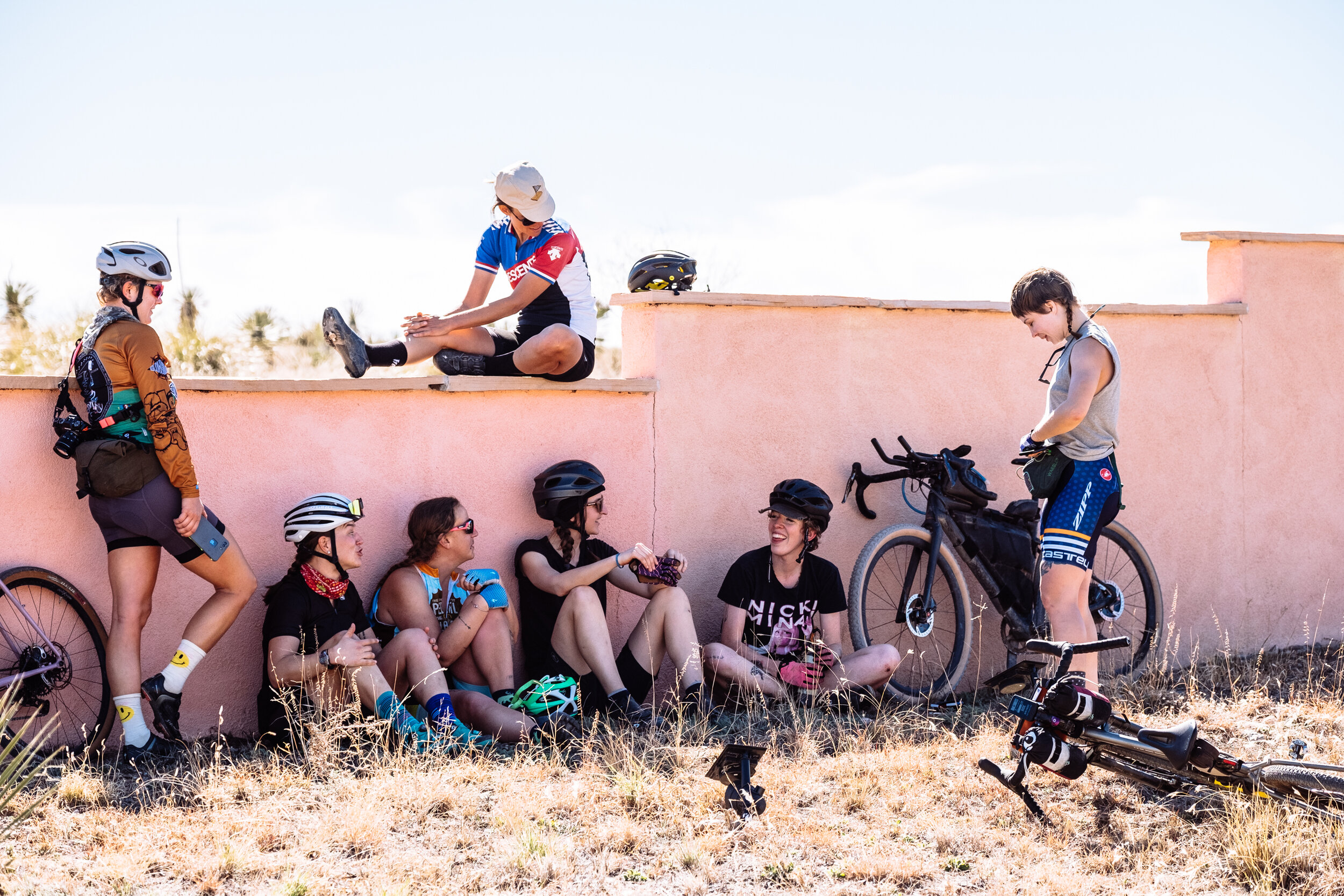
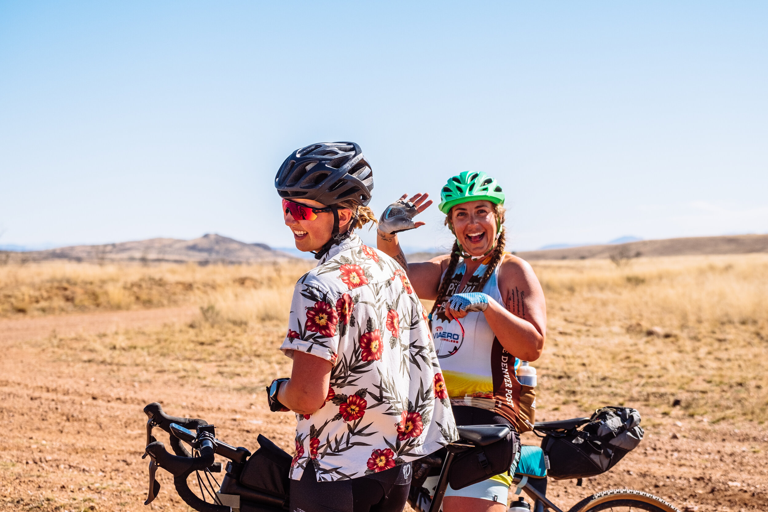
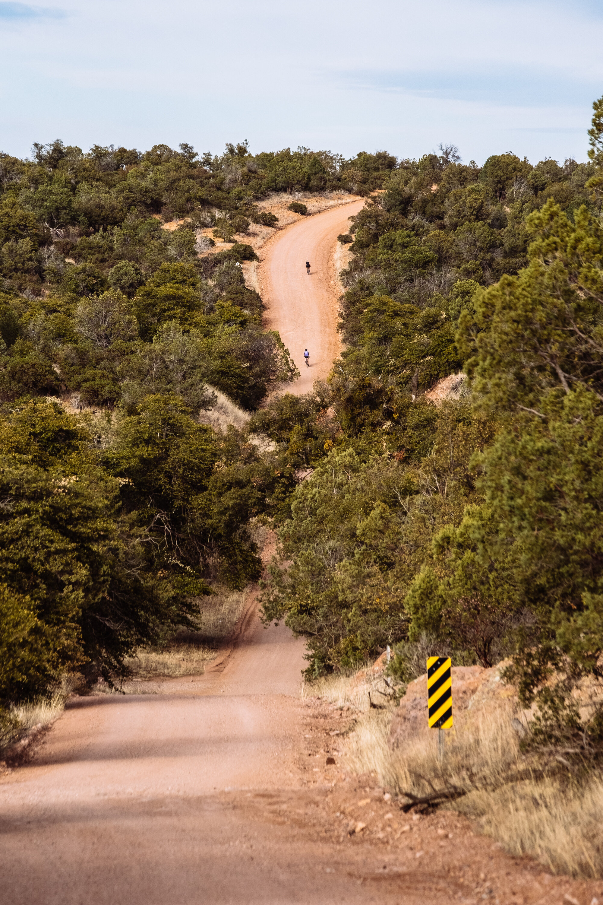
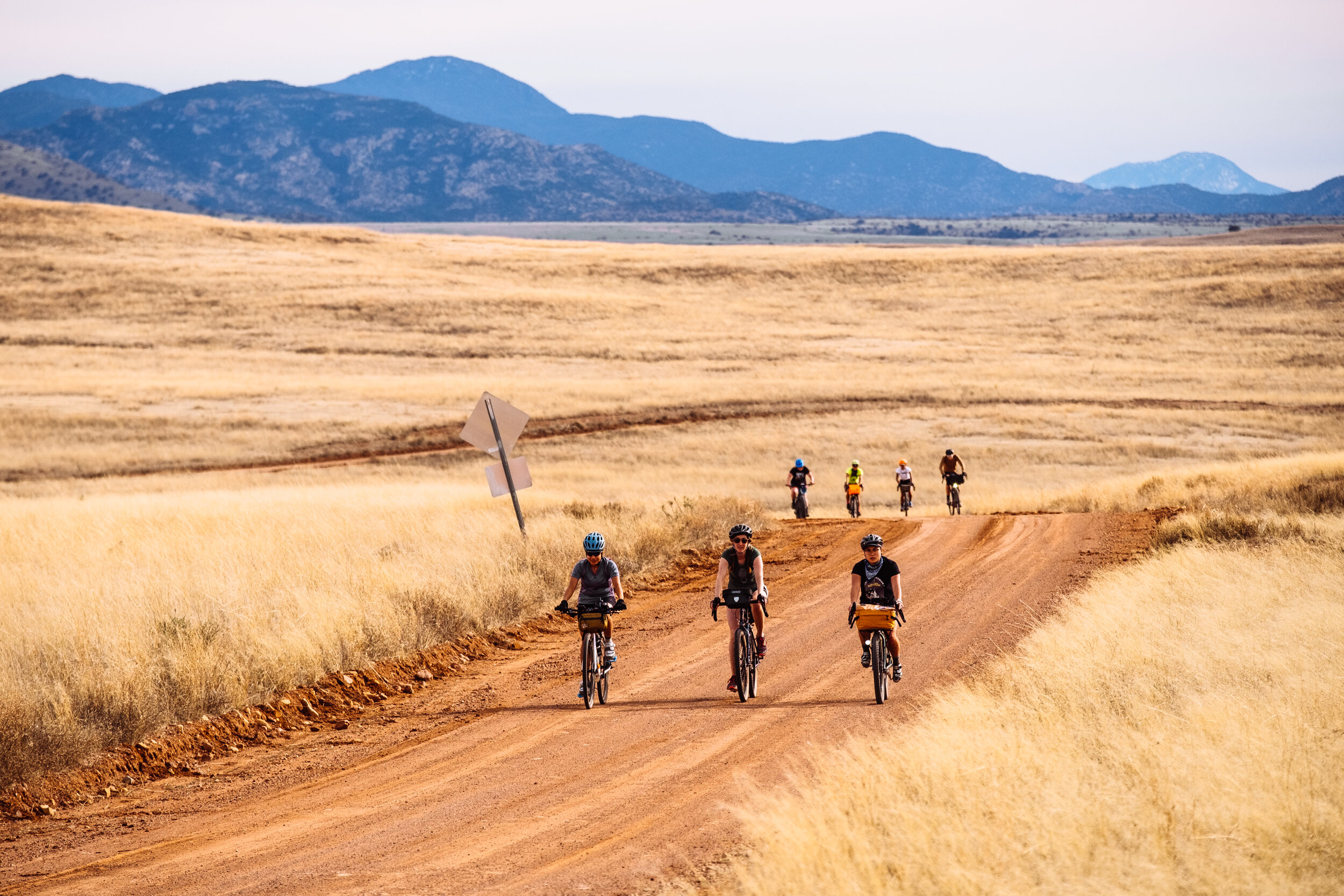
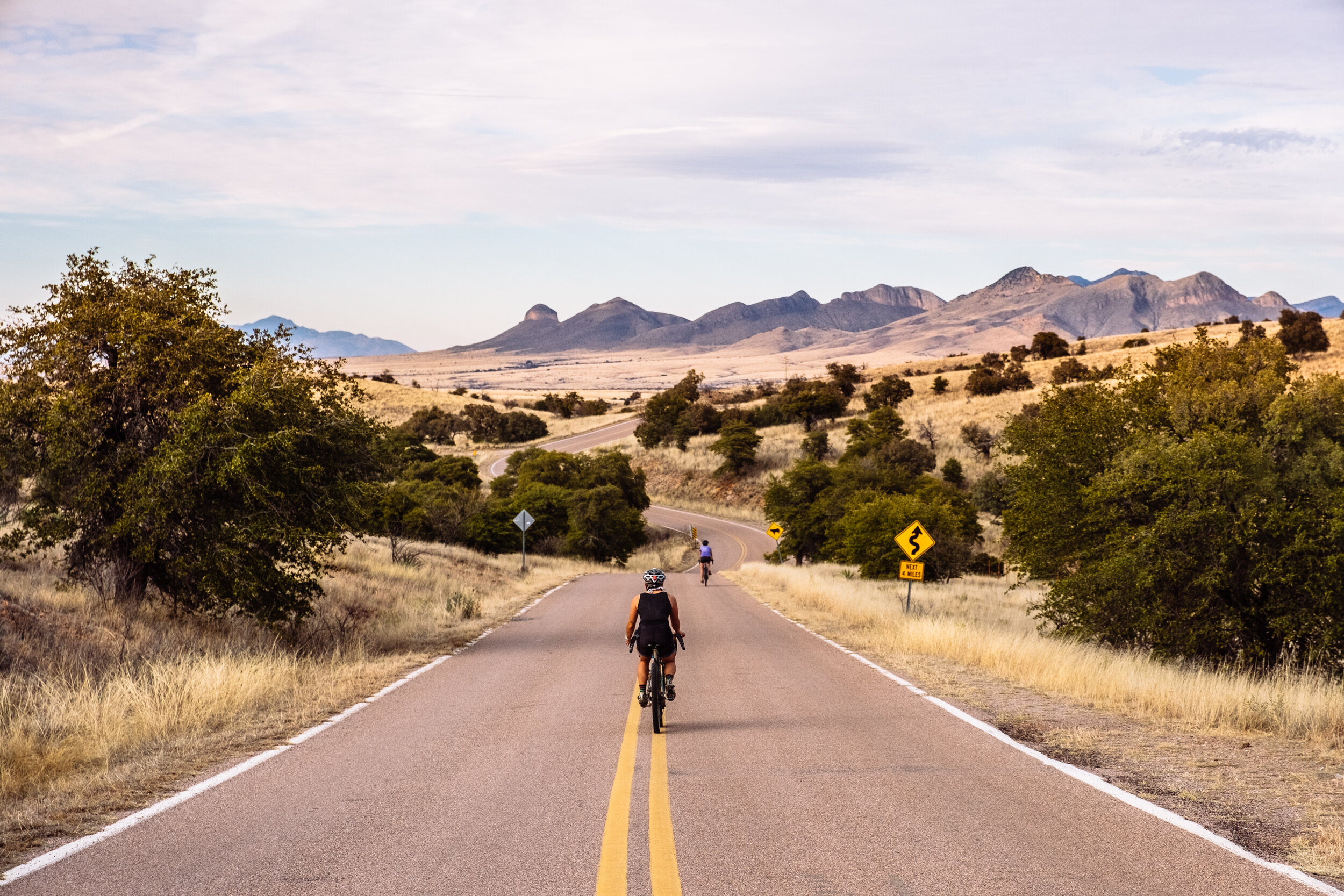
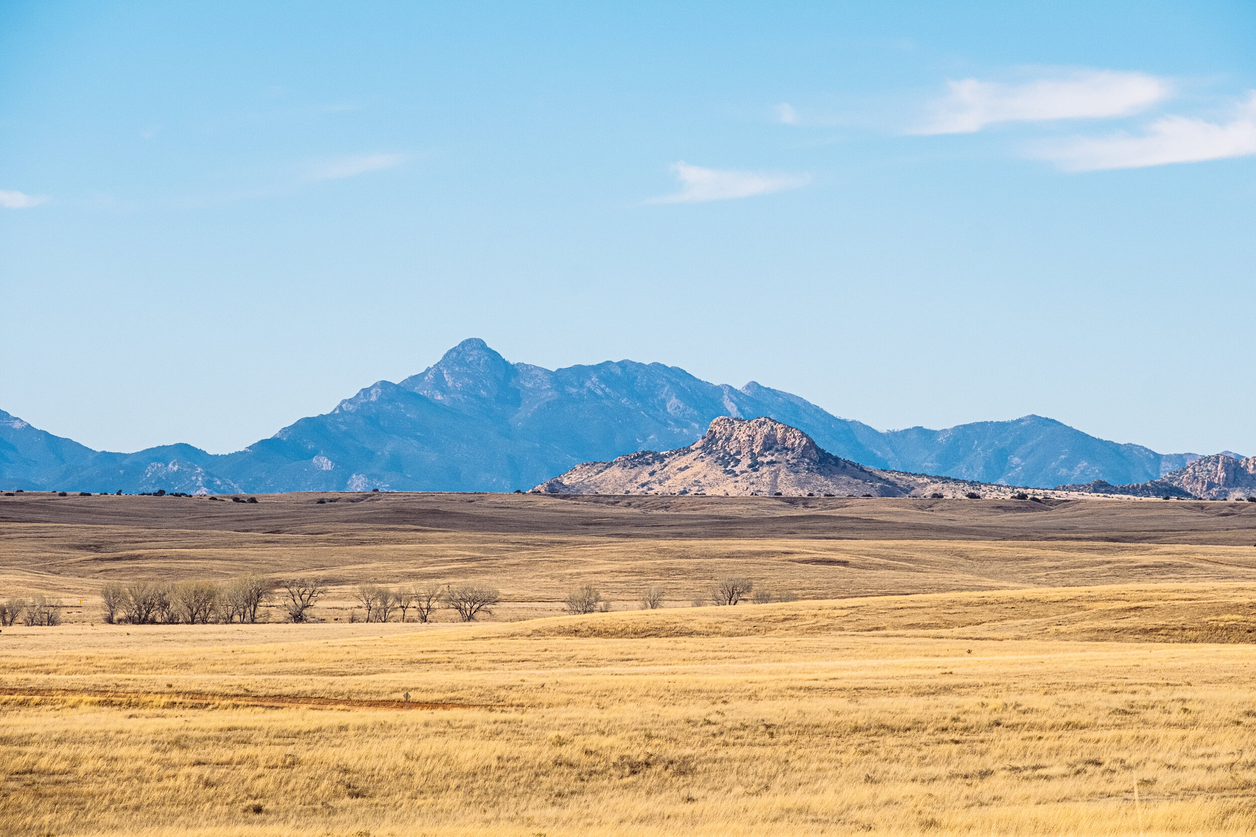
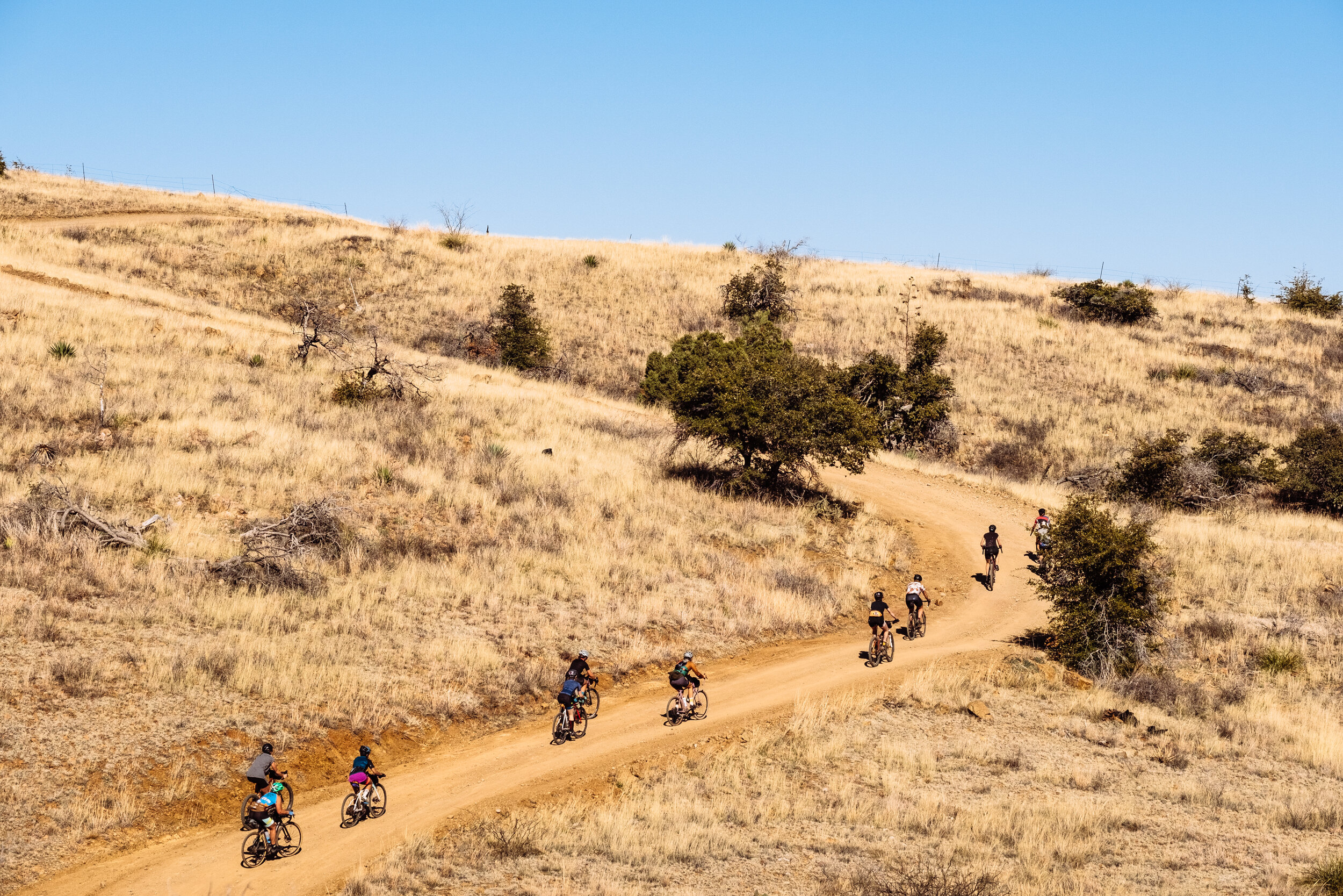
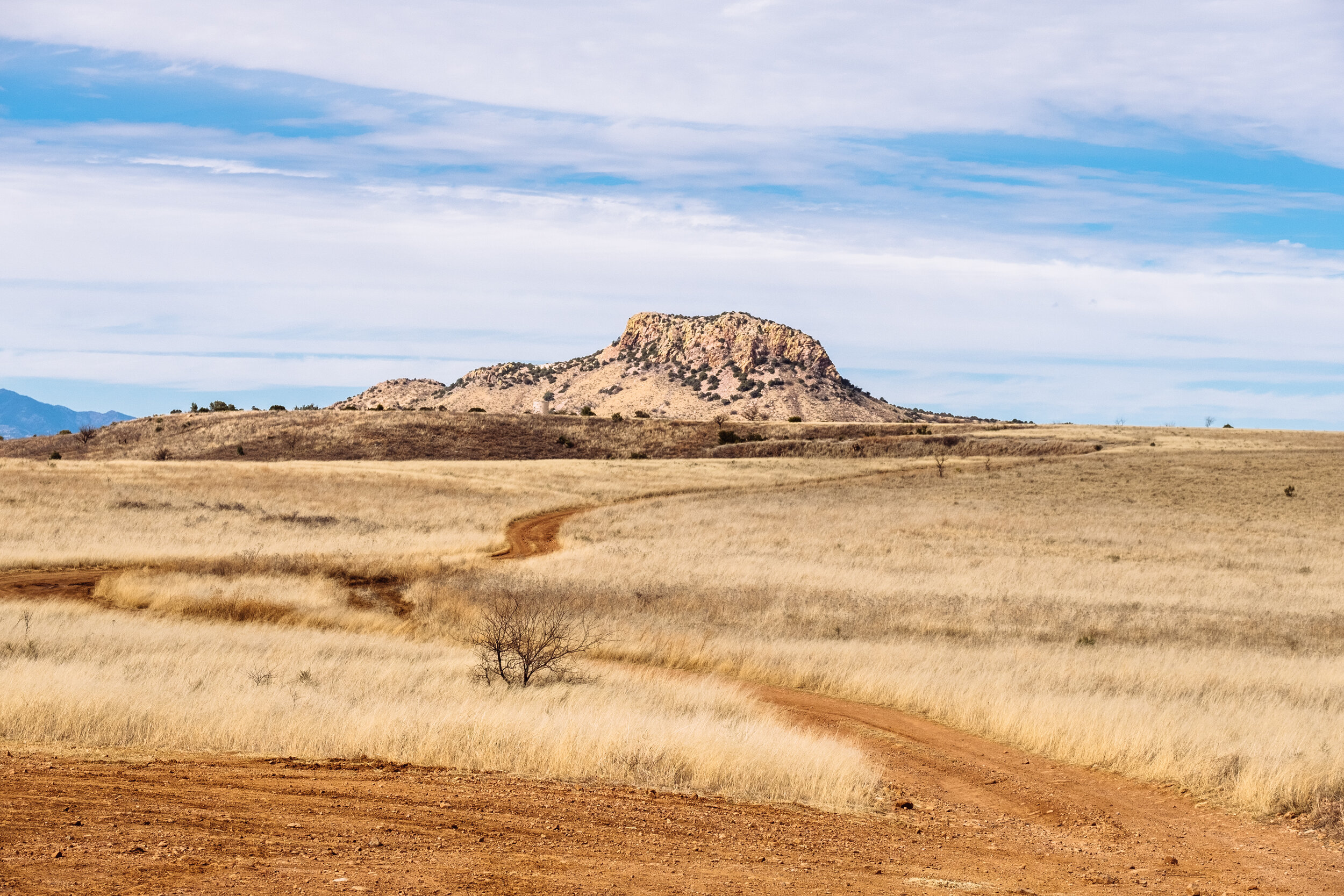
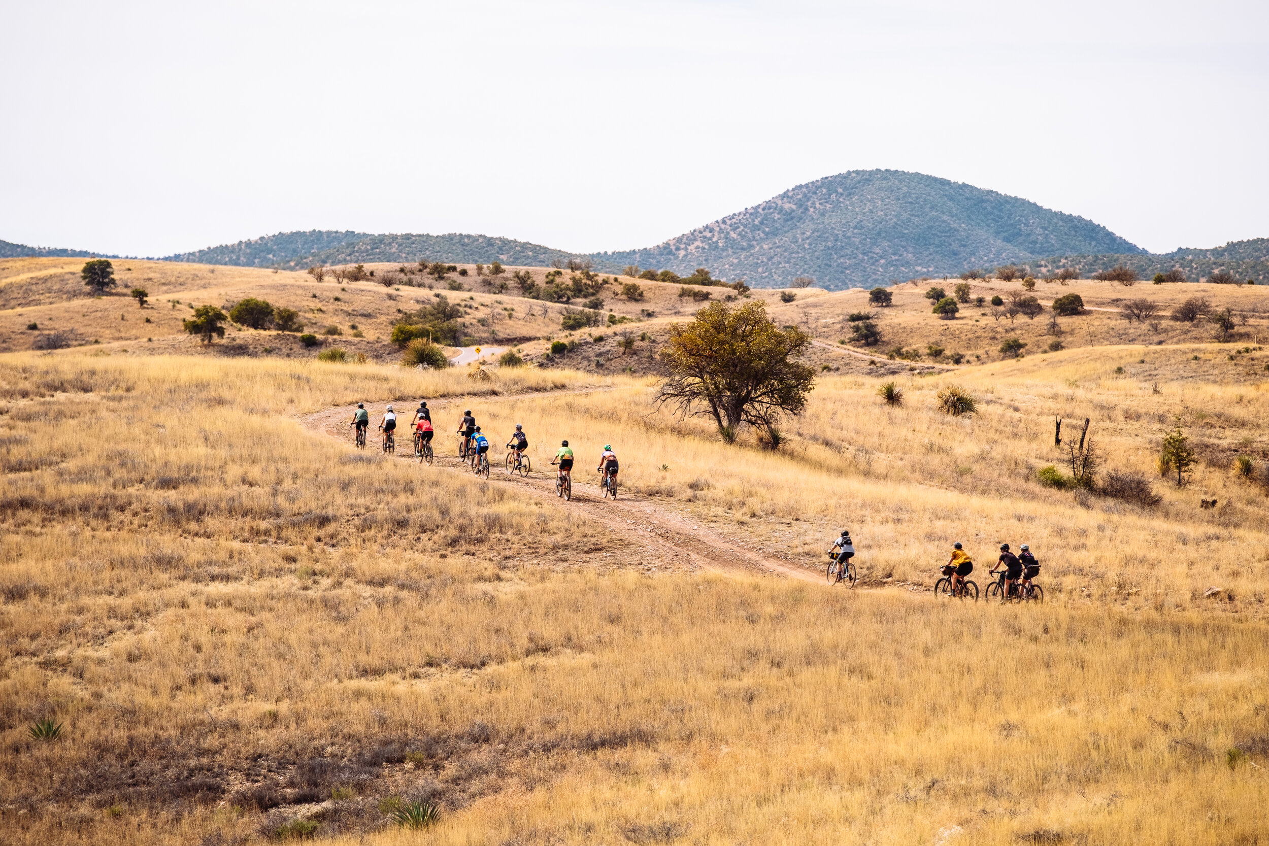
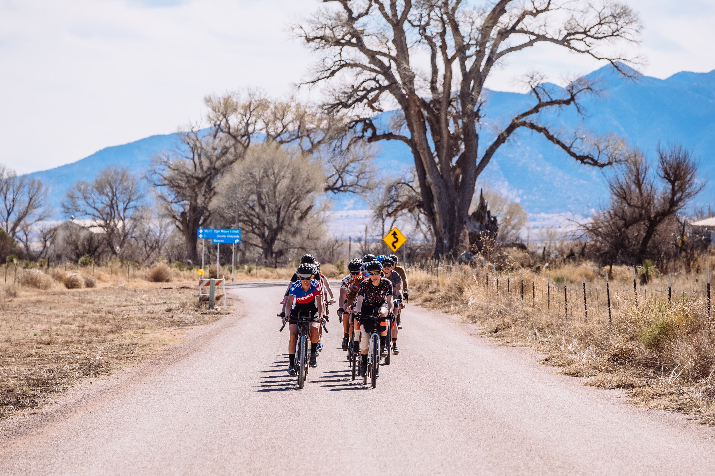
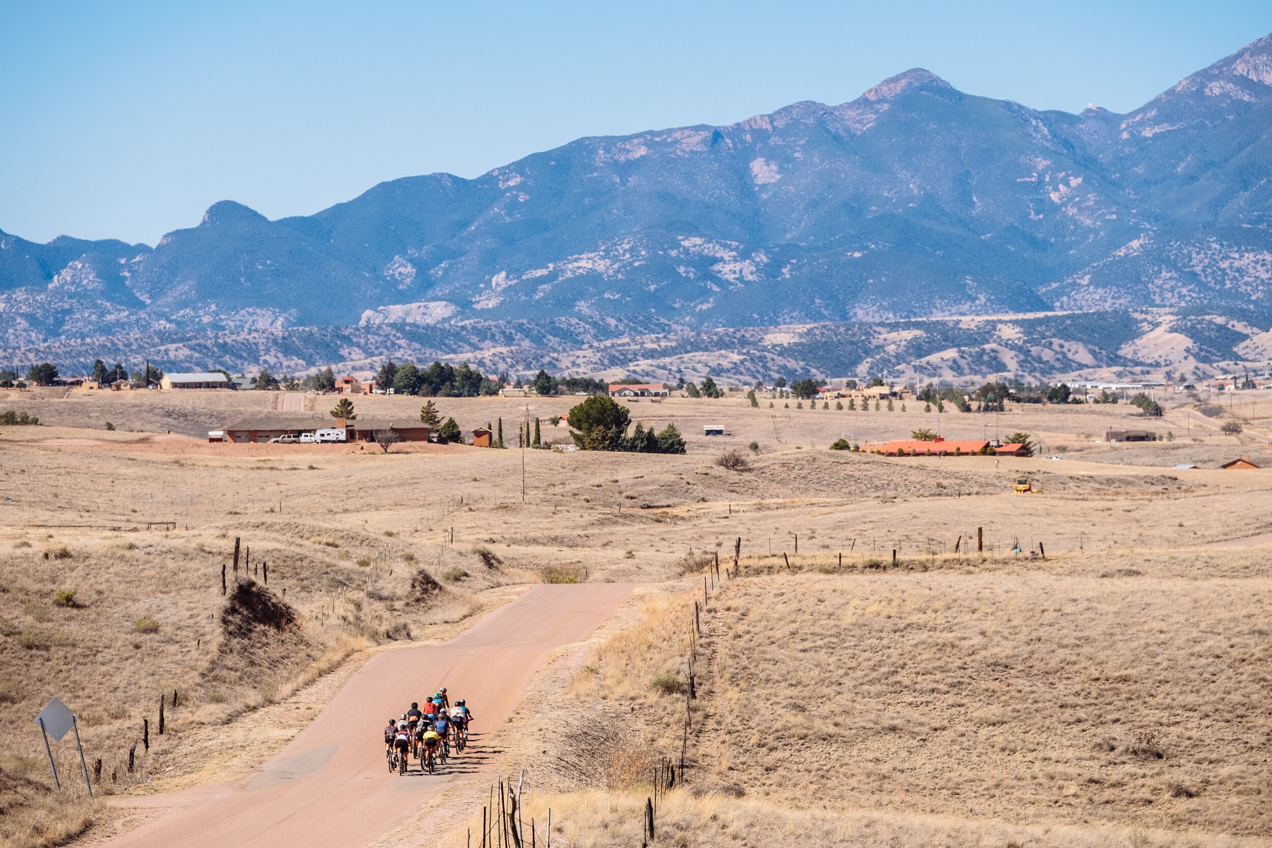
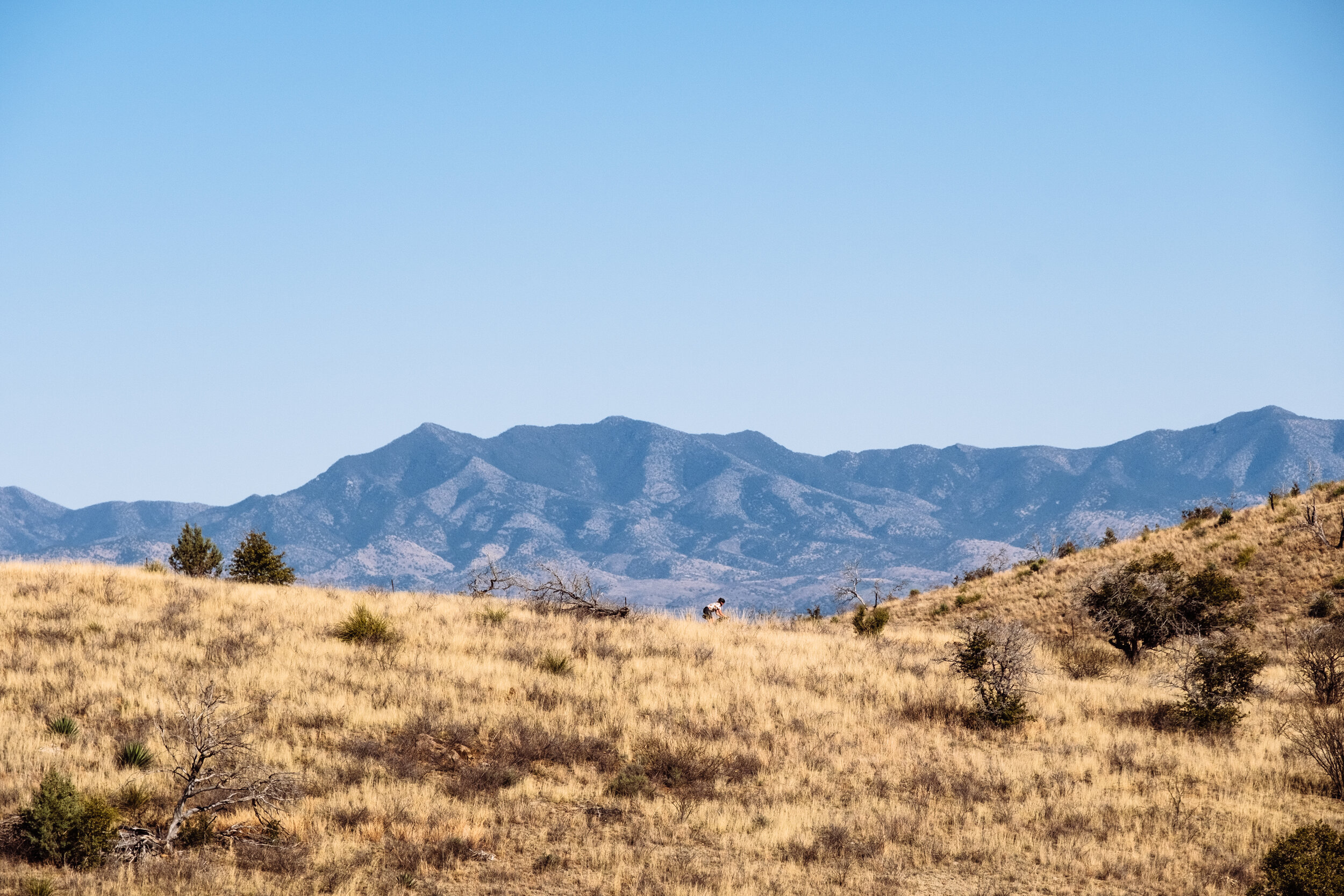
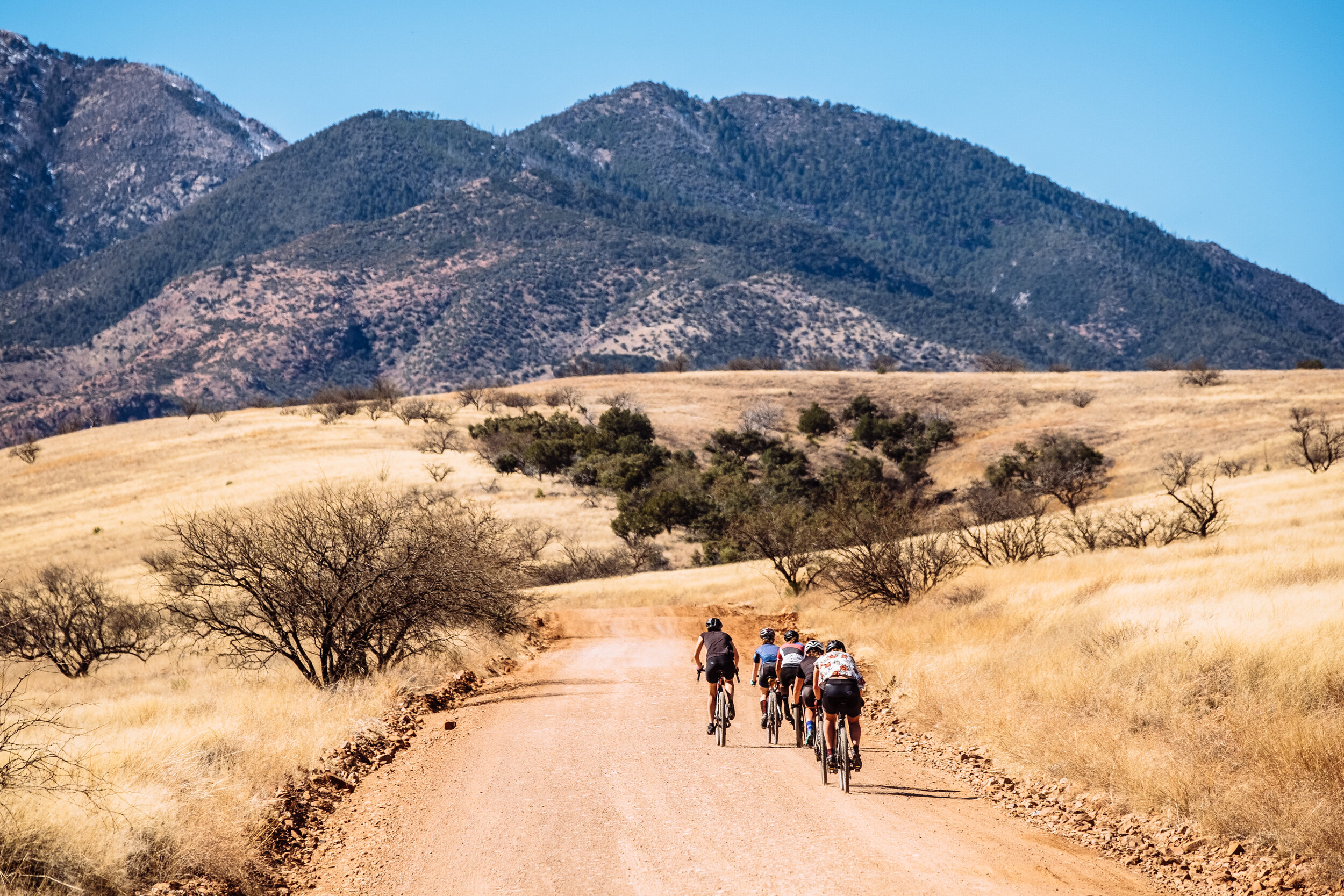
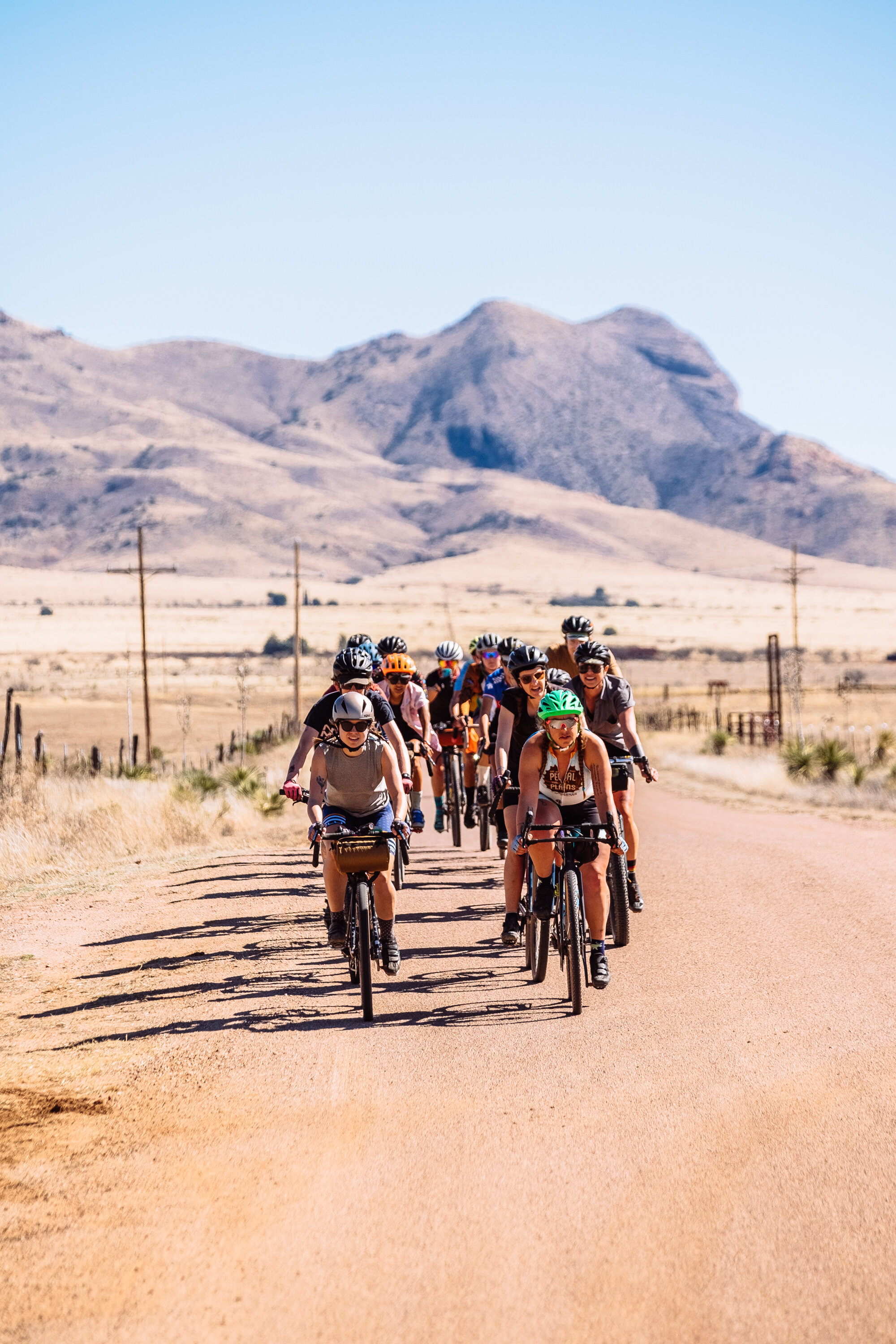
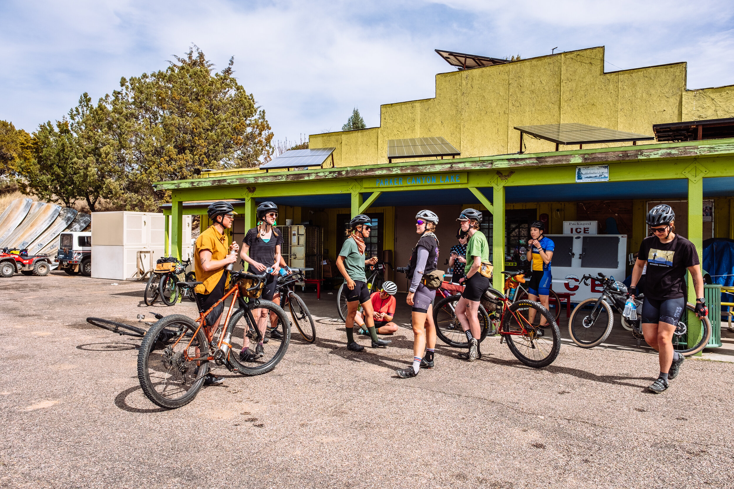
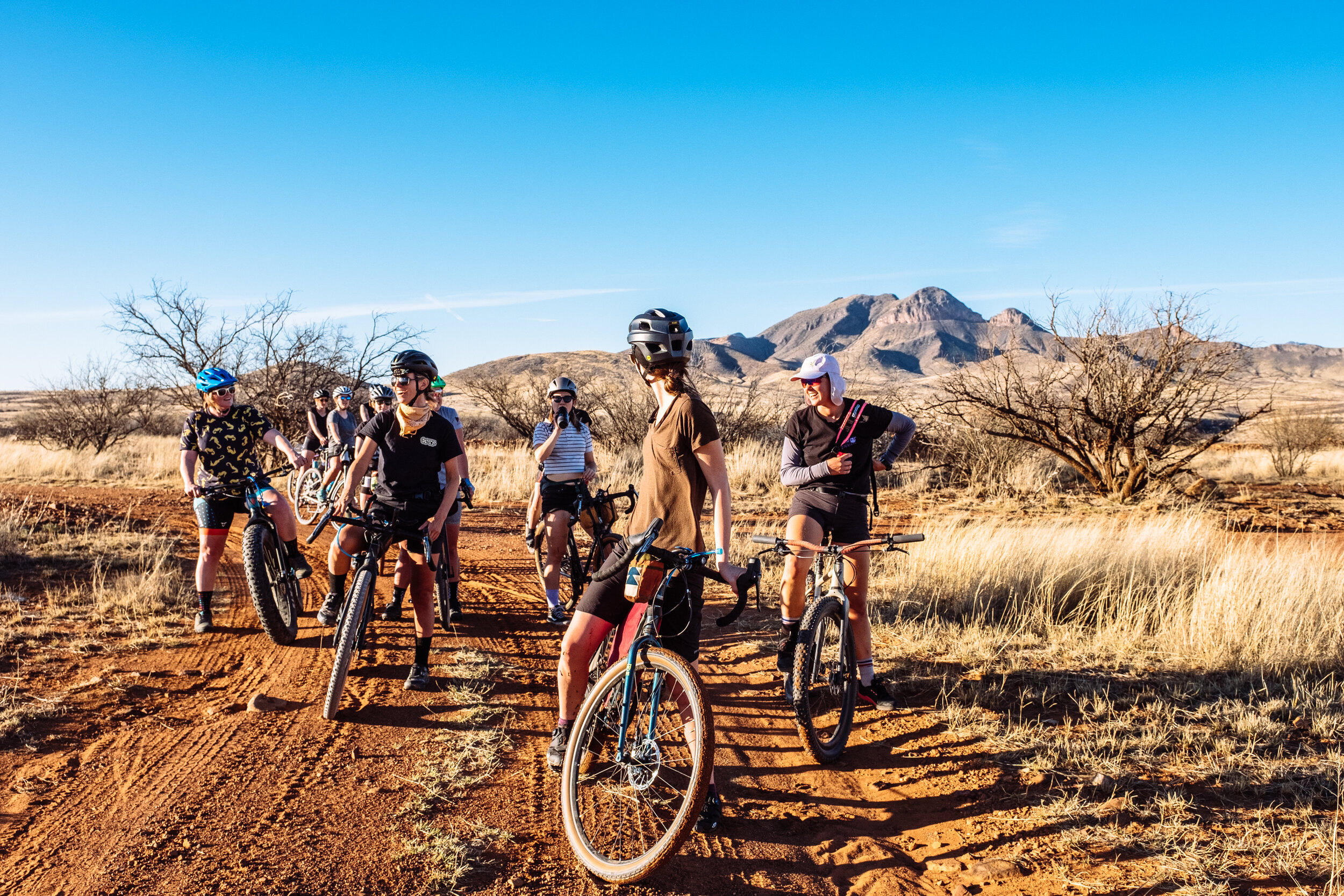
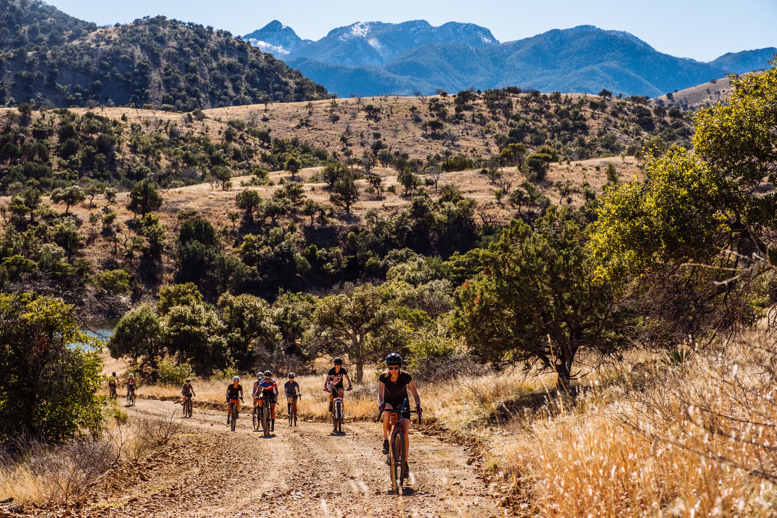
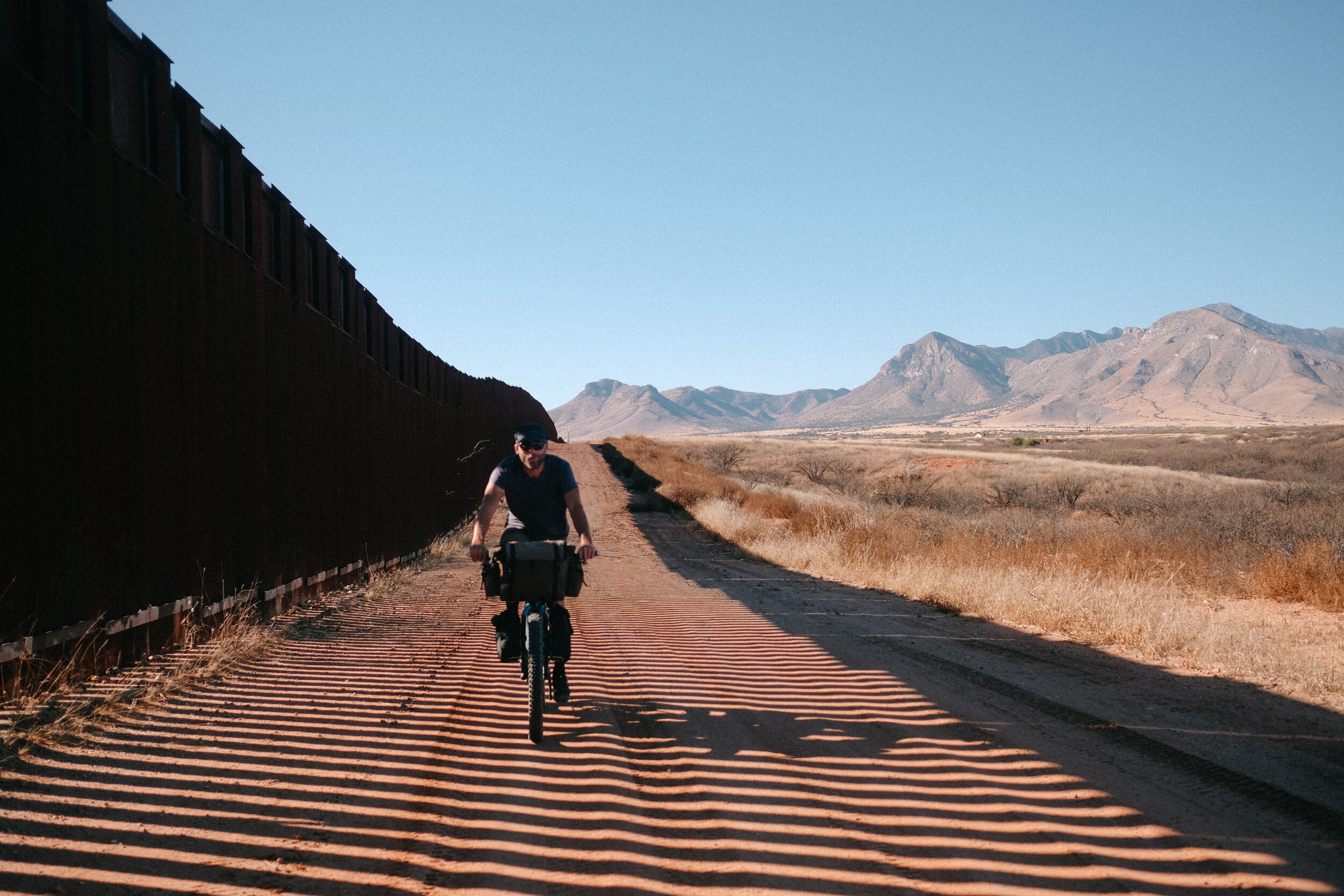
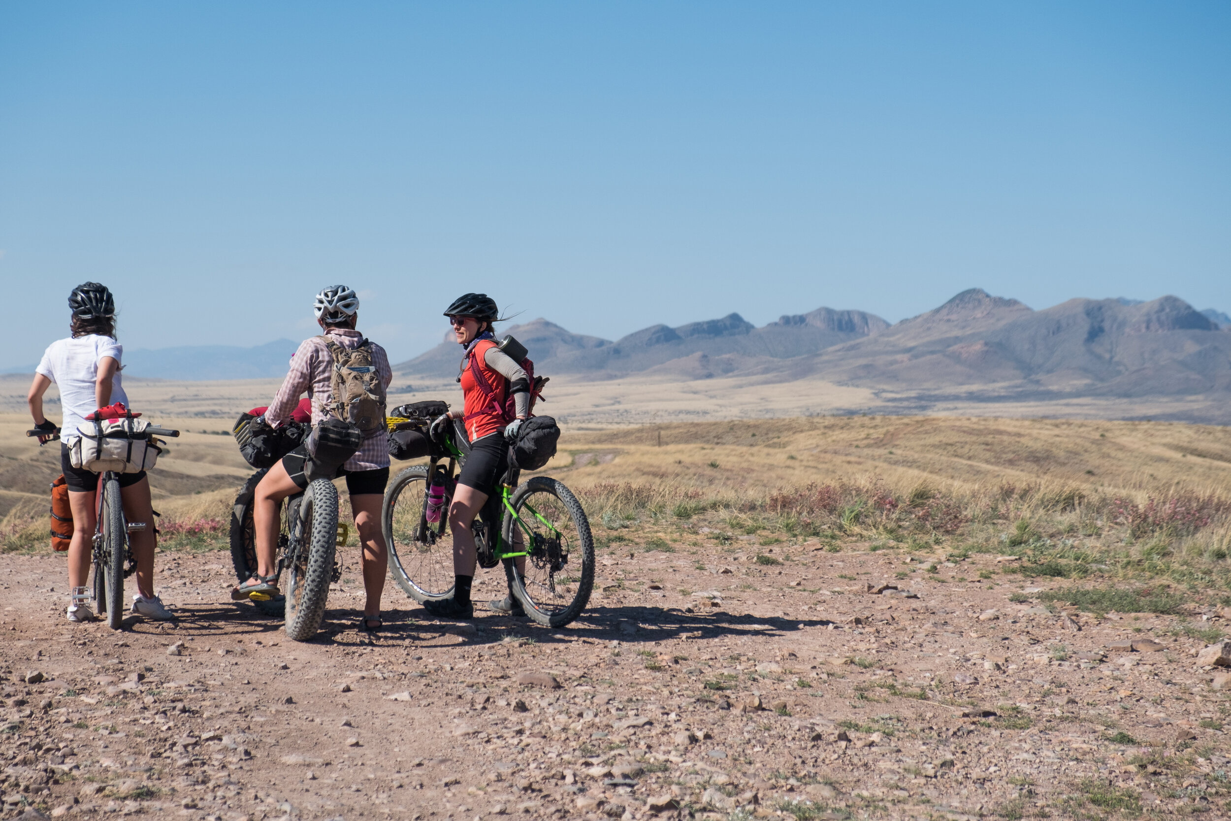
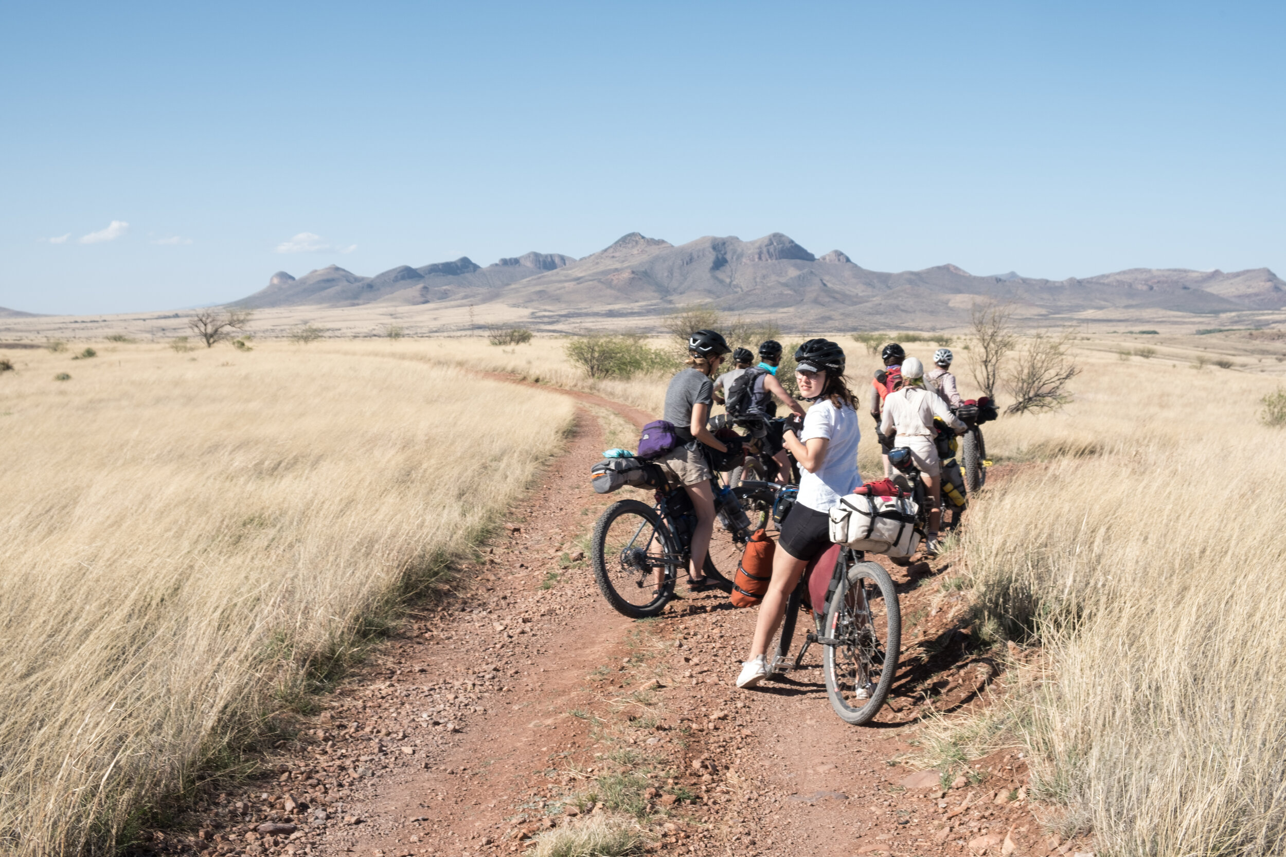
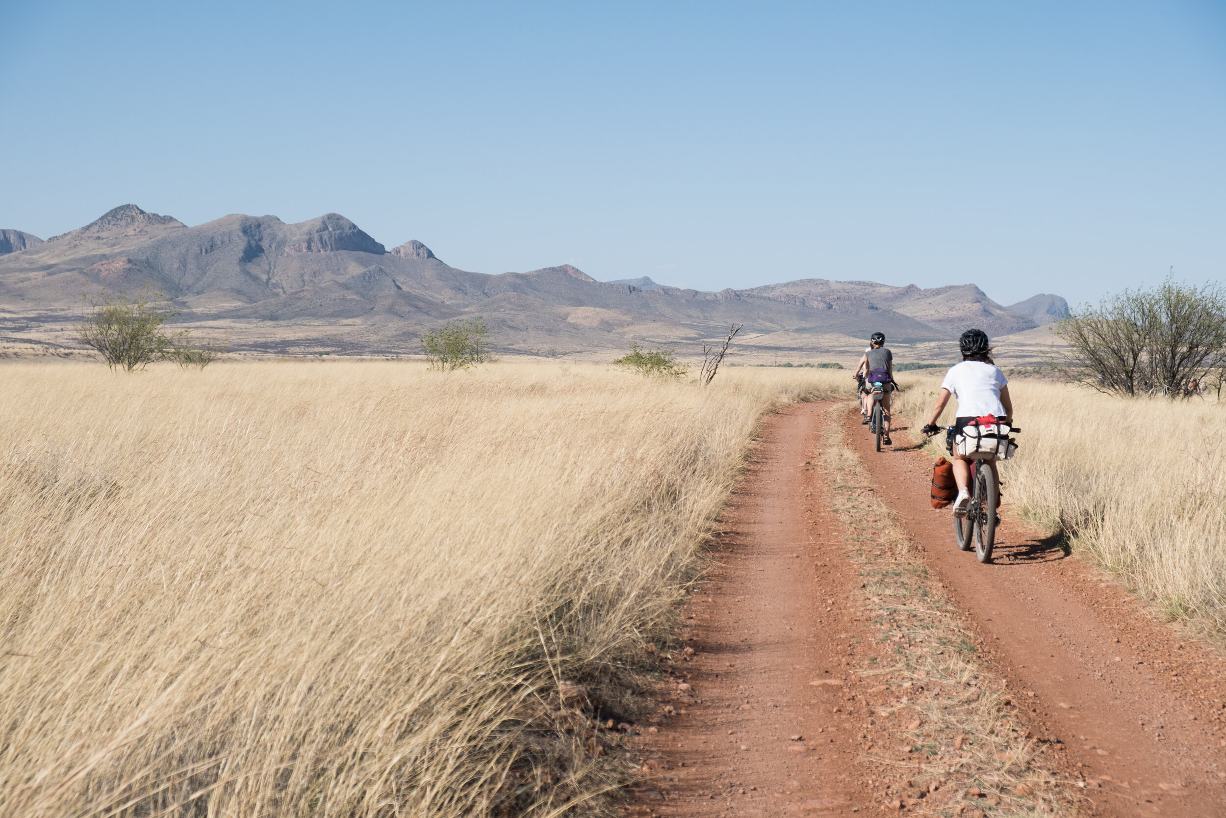
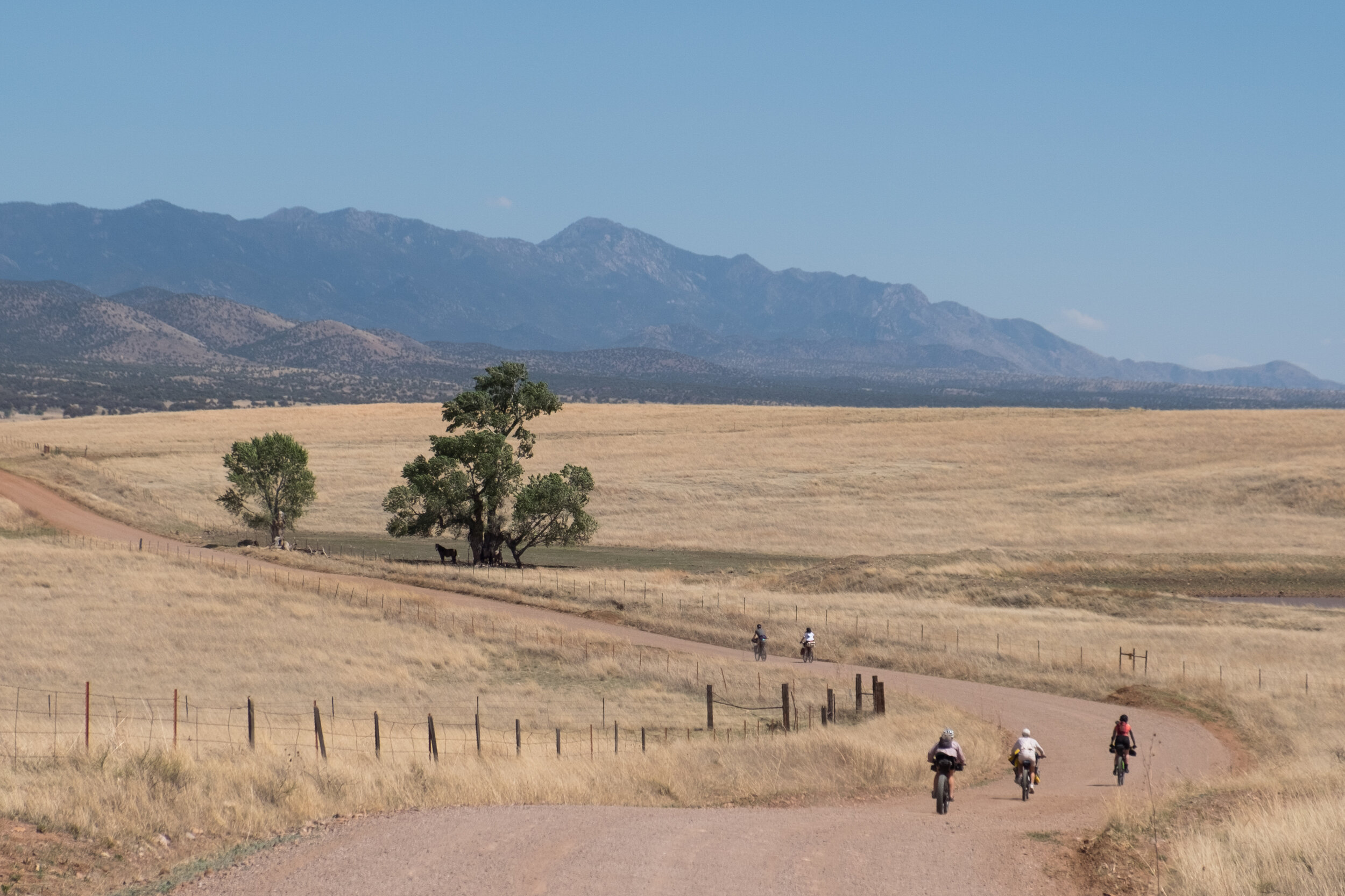
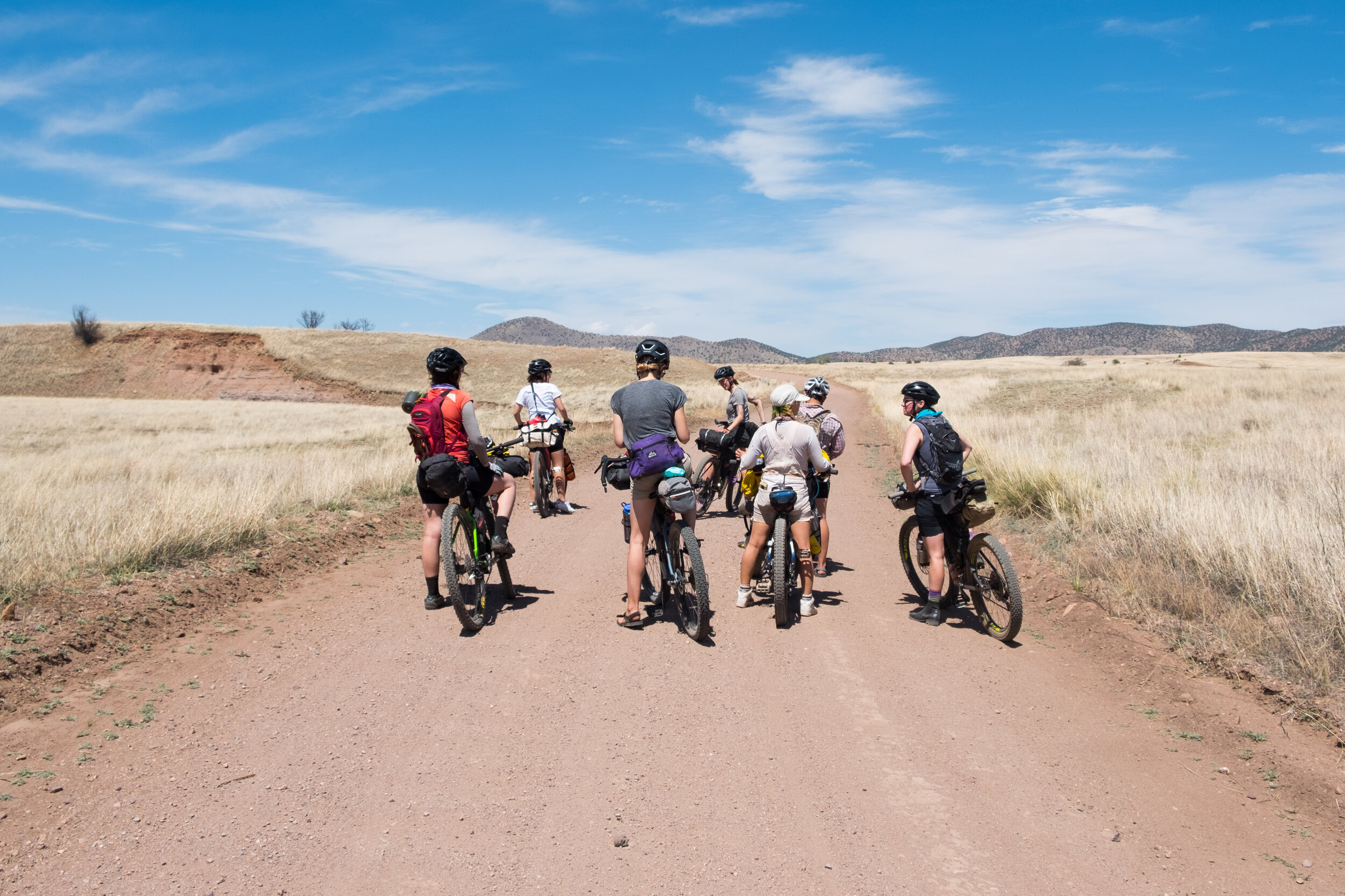
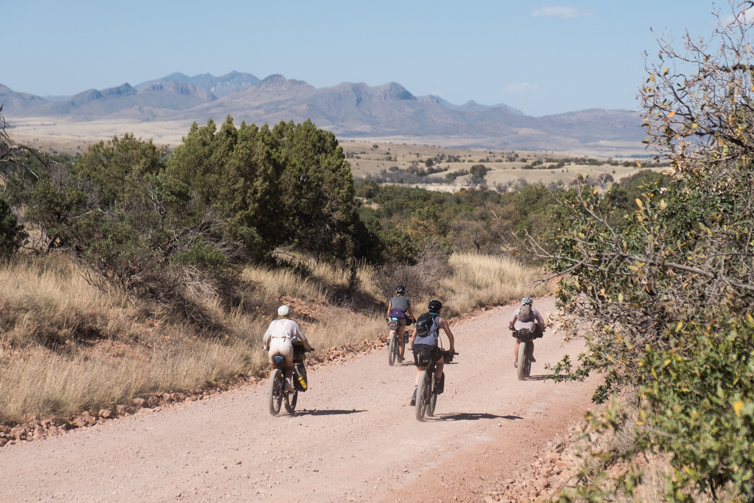
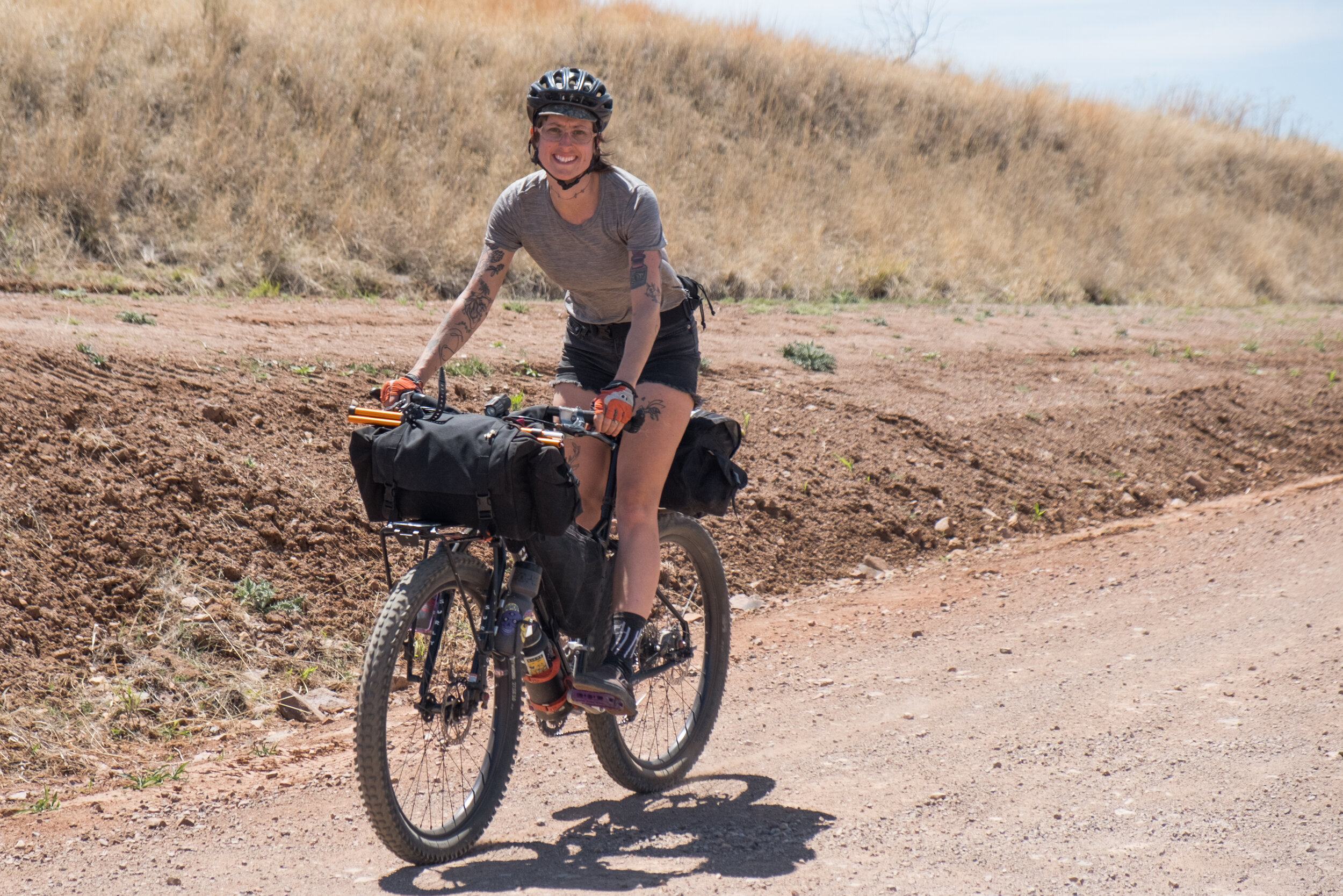
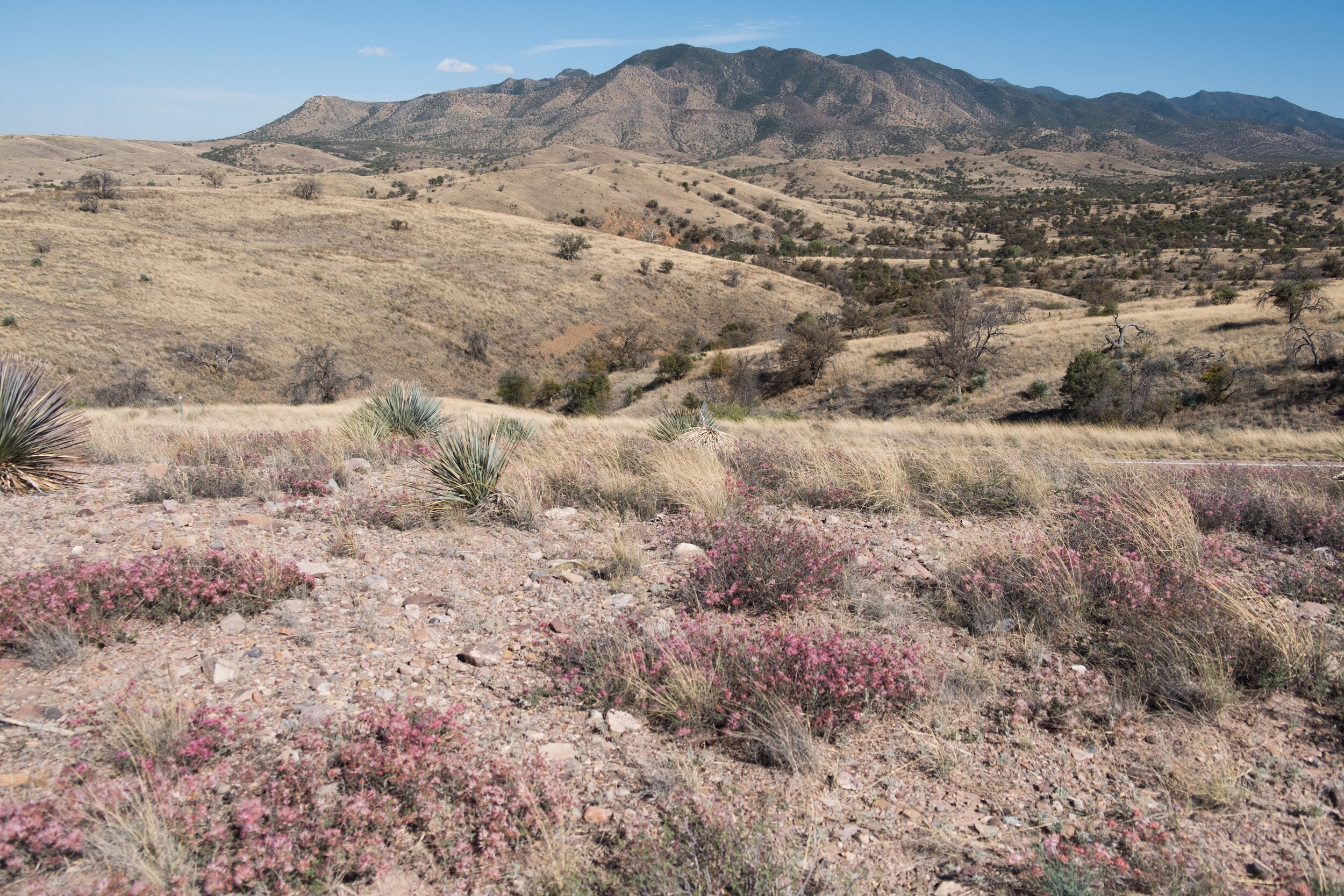
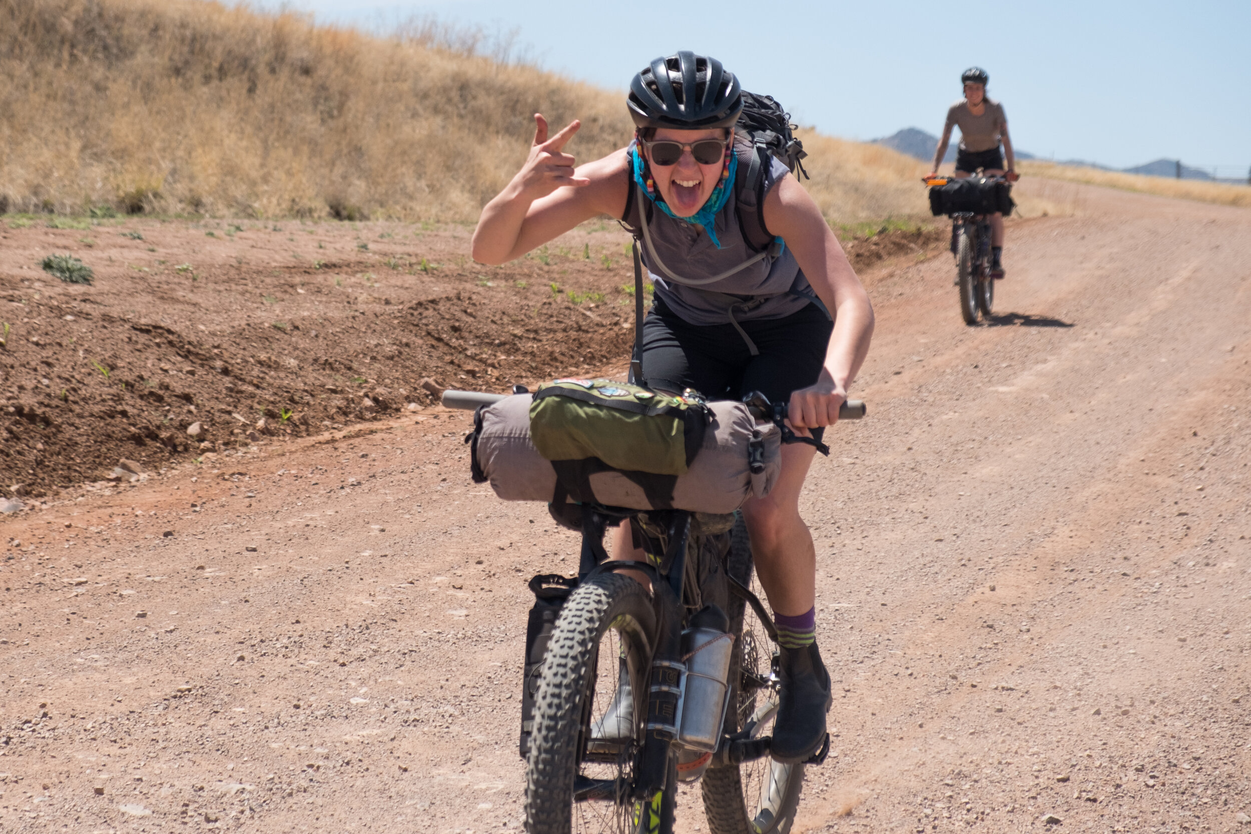
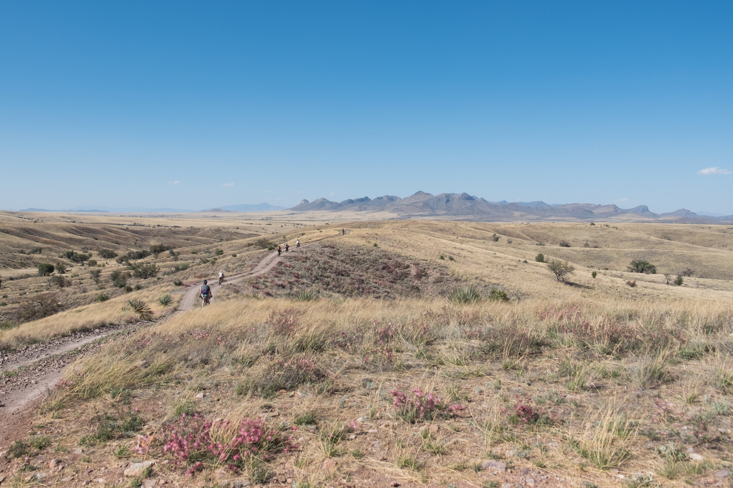
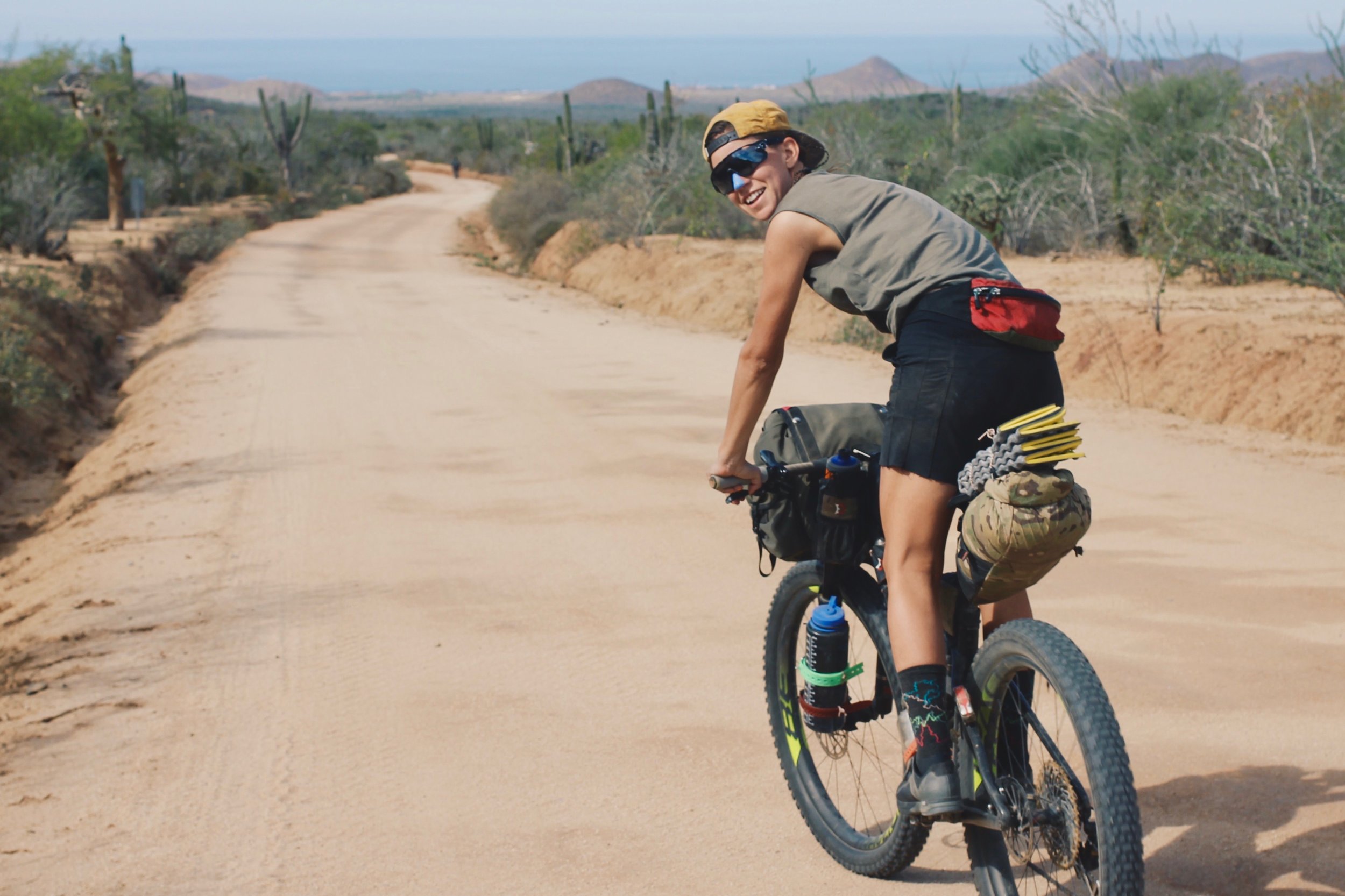
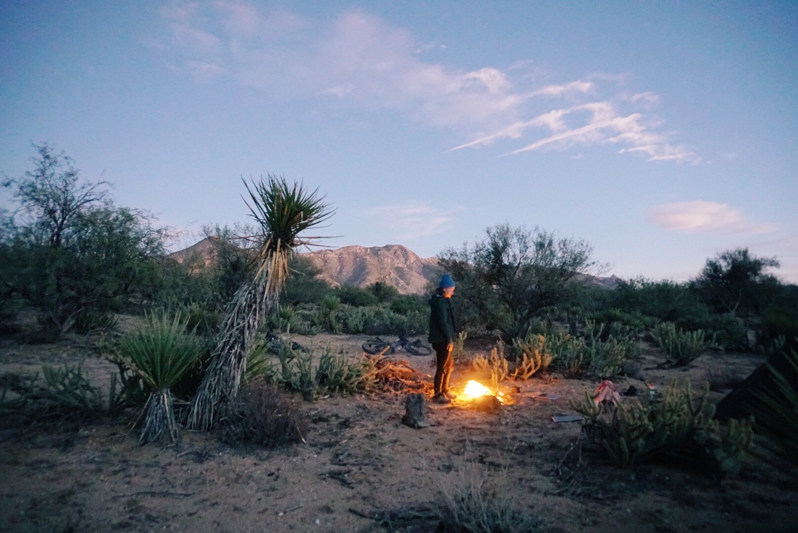
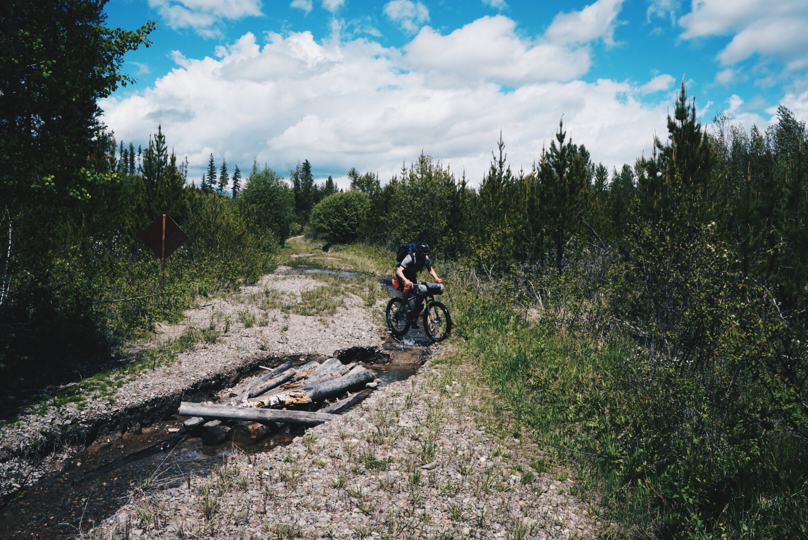
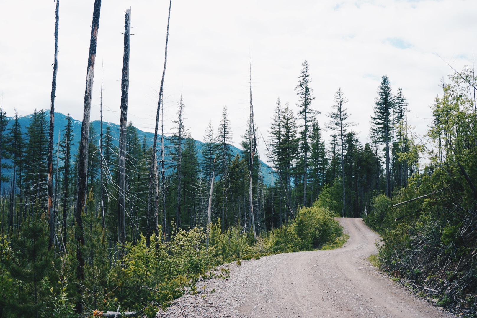
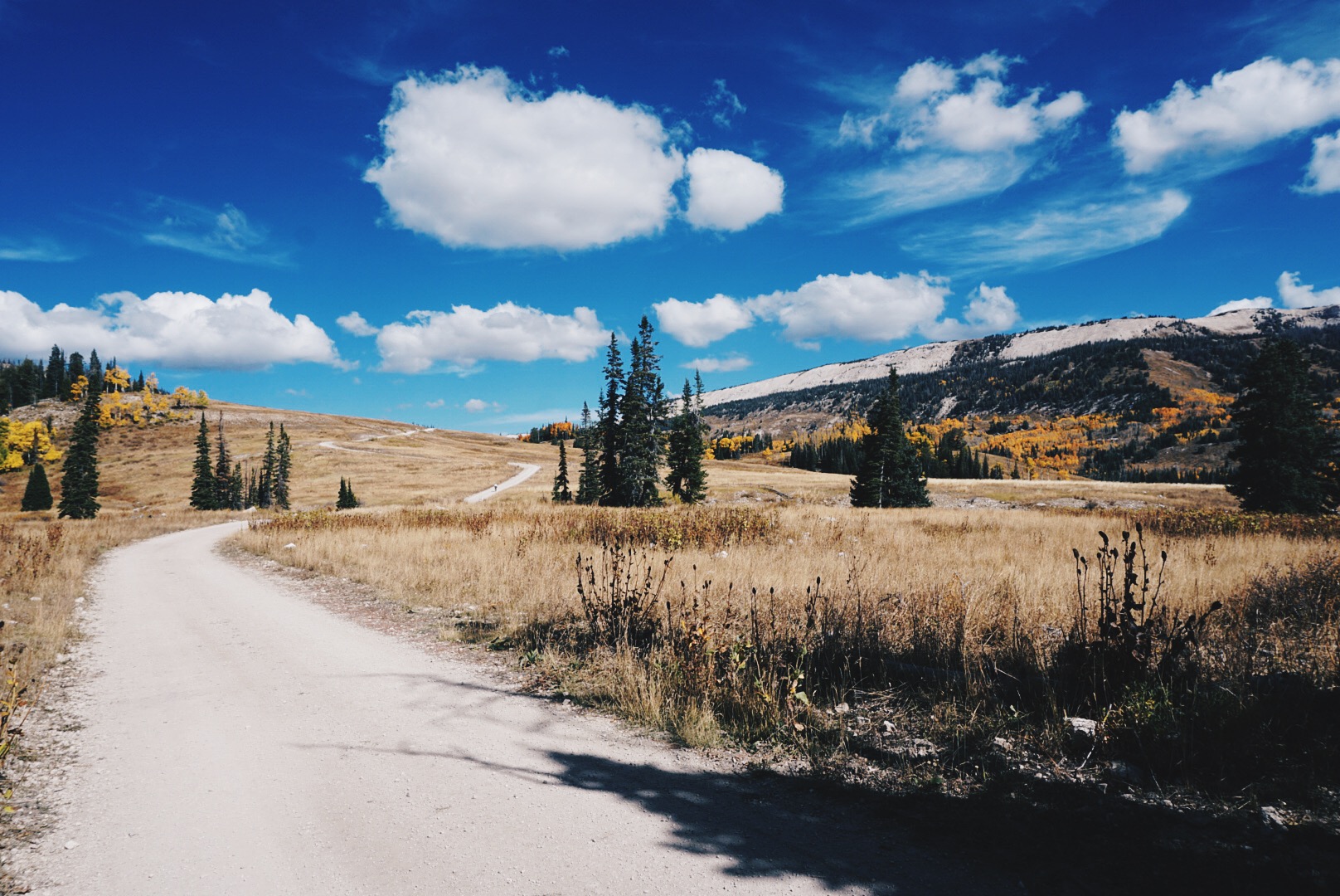
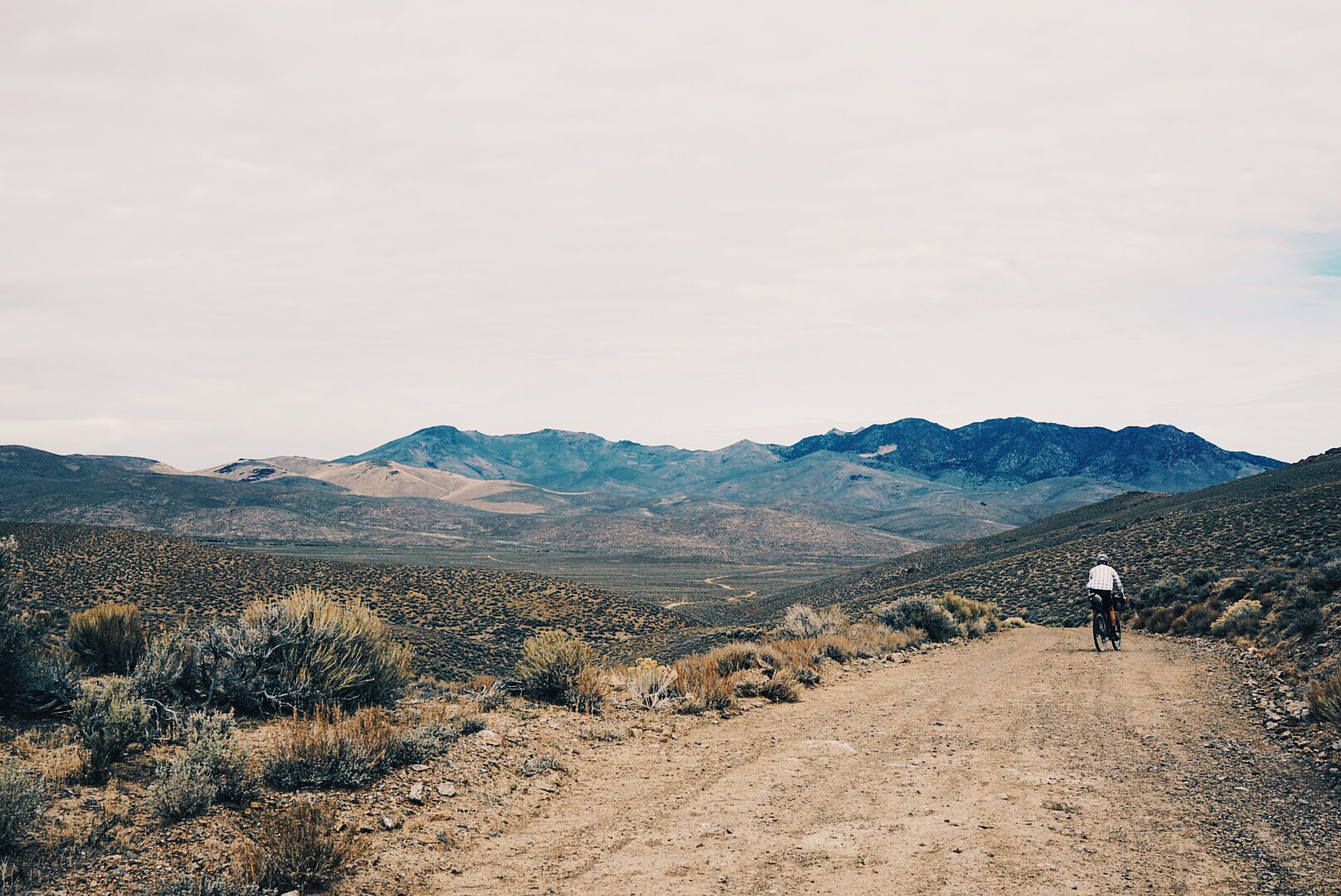
In February 2019 I hosted Ruta Del Jefe, a 125-mile self supported adventure race following dirt roads around the Santa Rita Mountains and the lair of El Jefe, one of the few remaining North American Jaguars to live in the U.S.

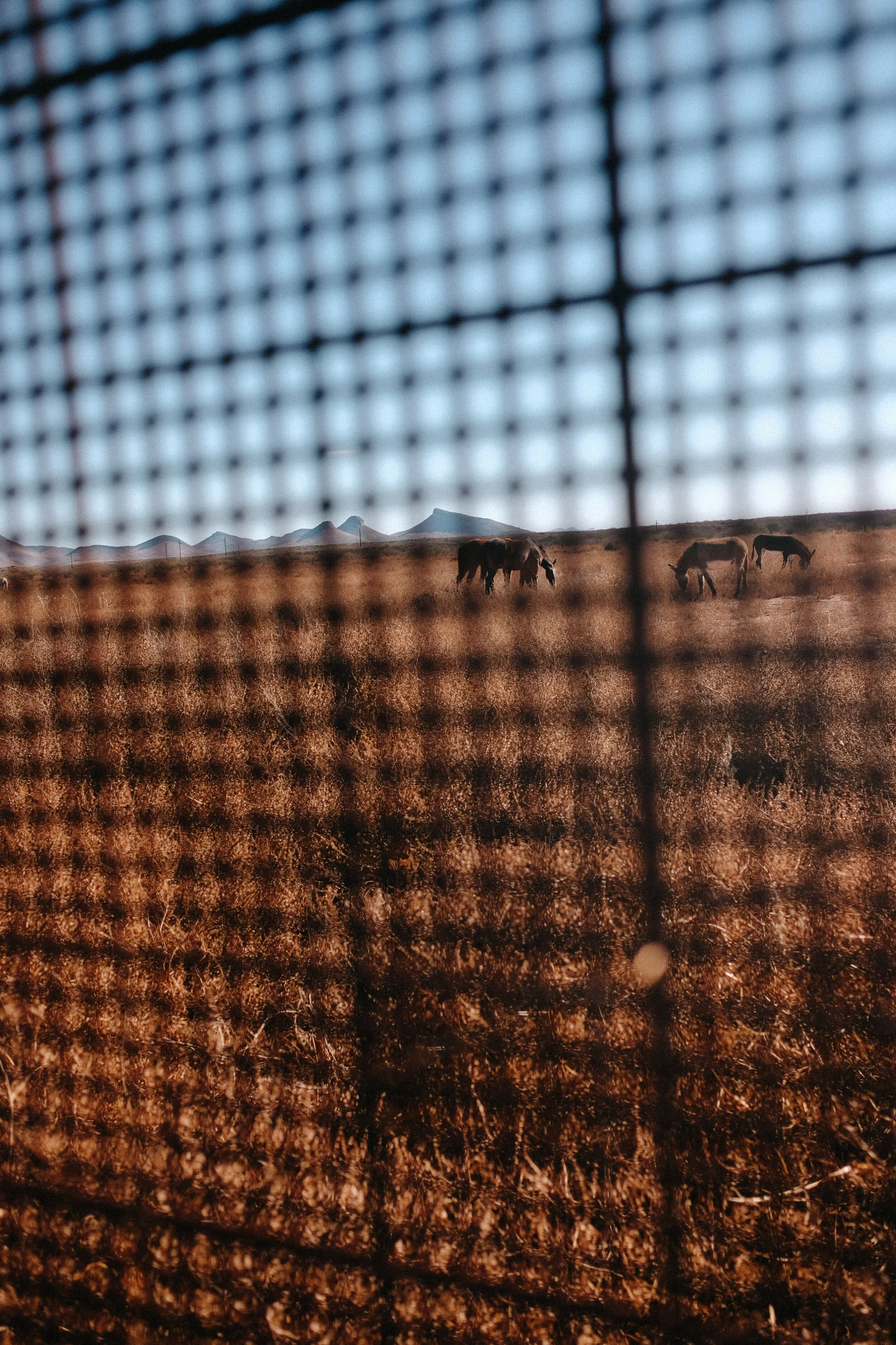
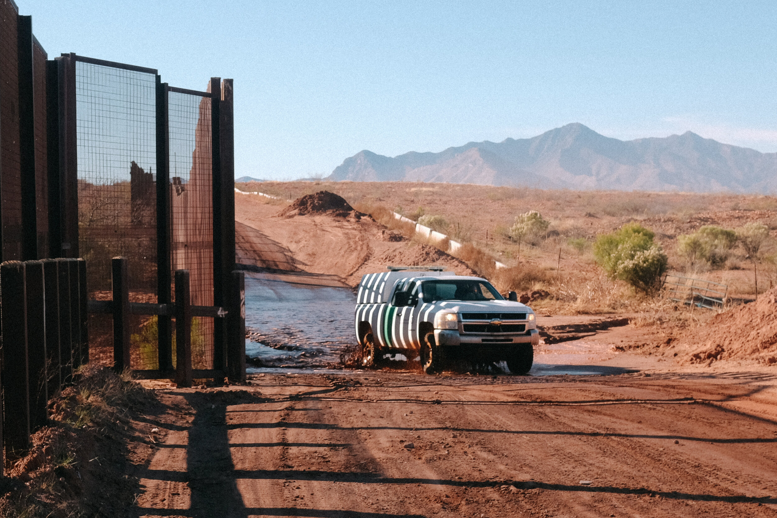
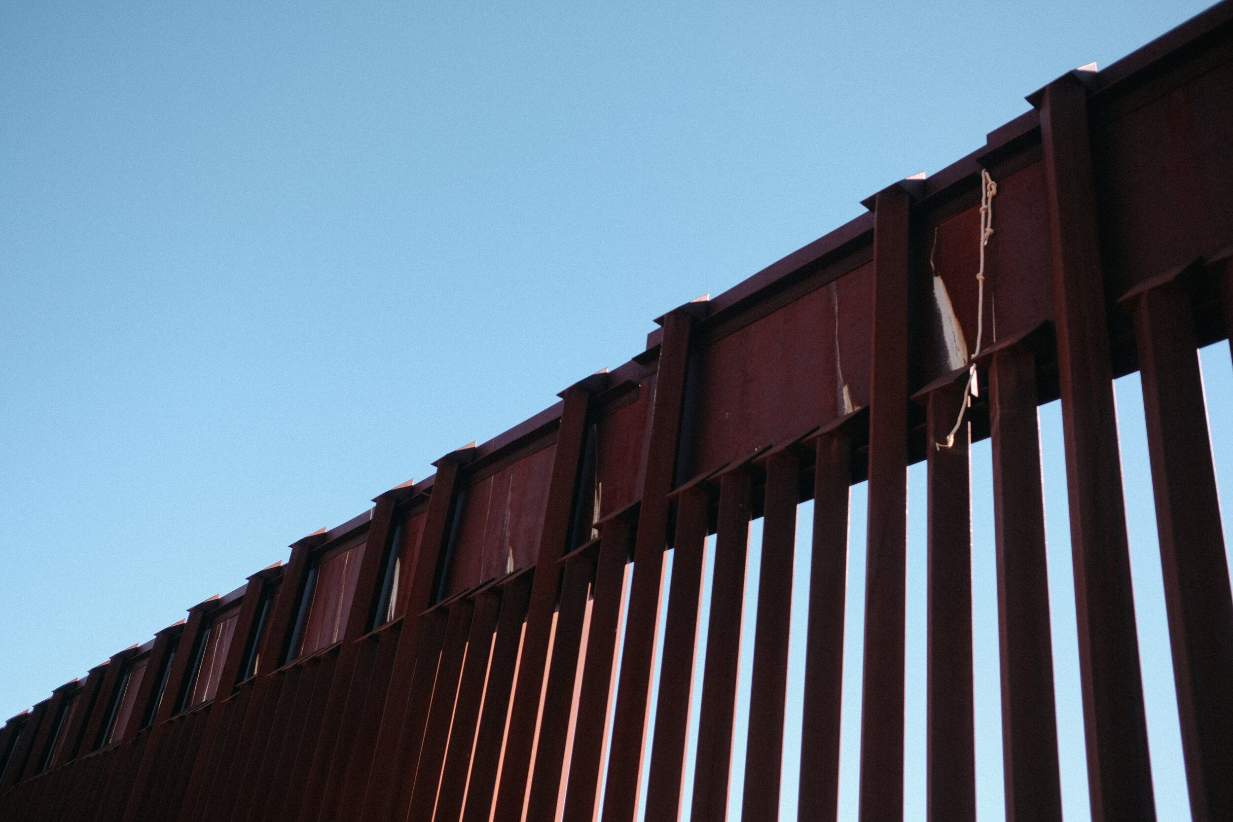
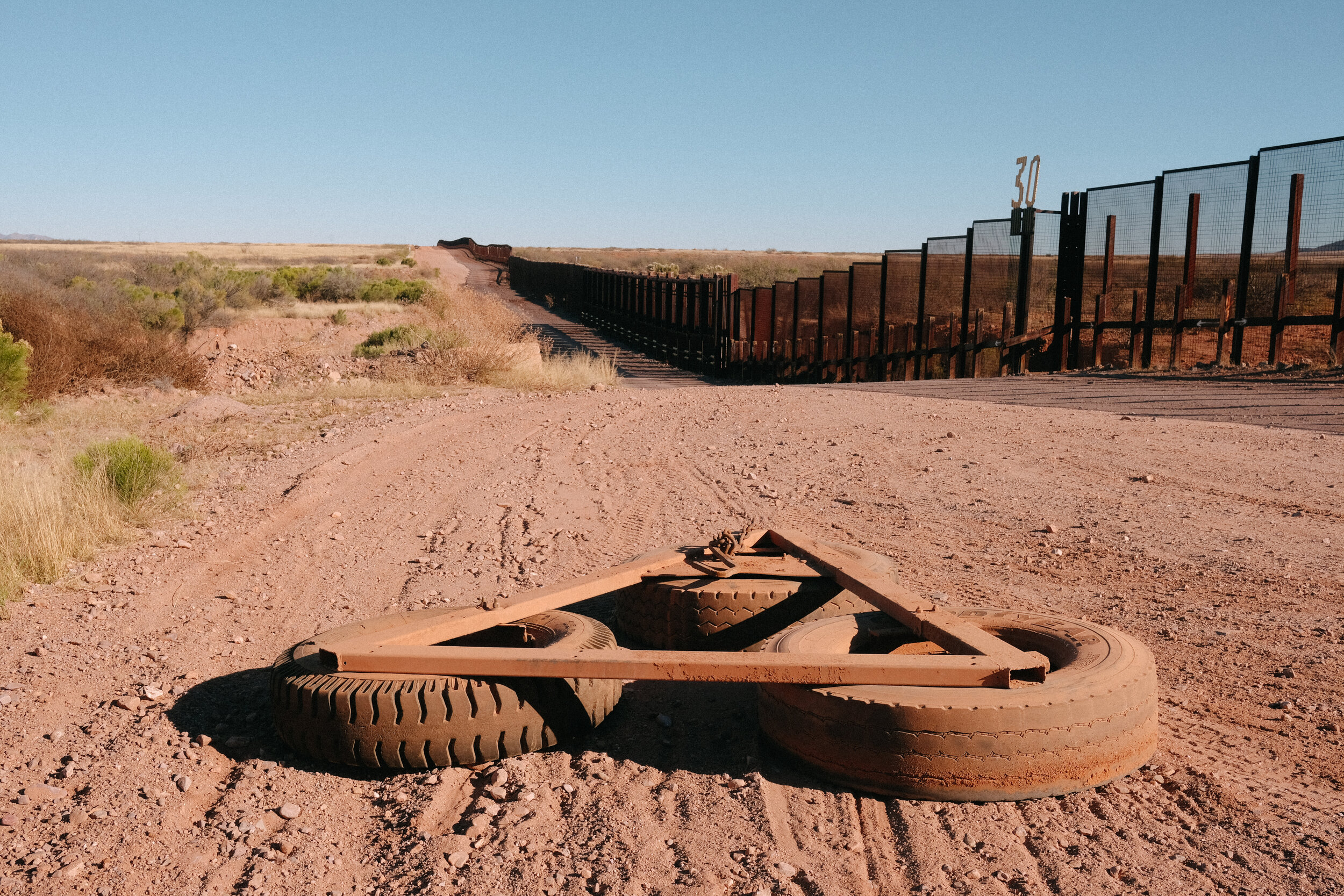
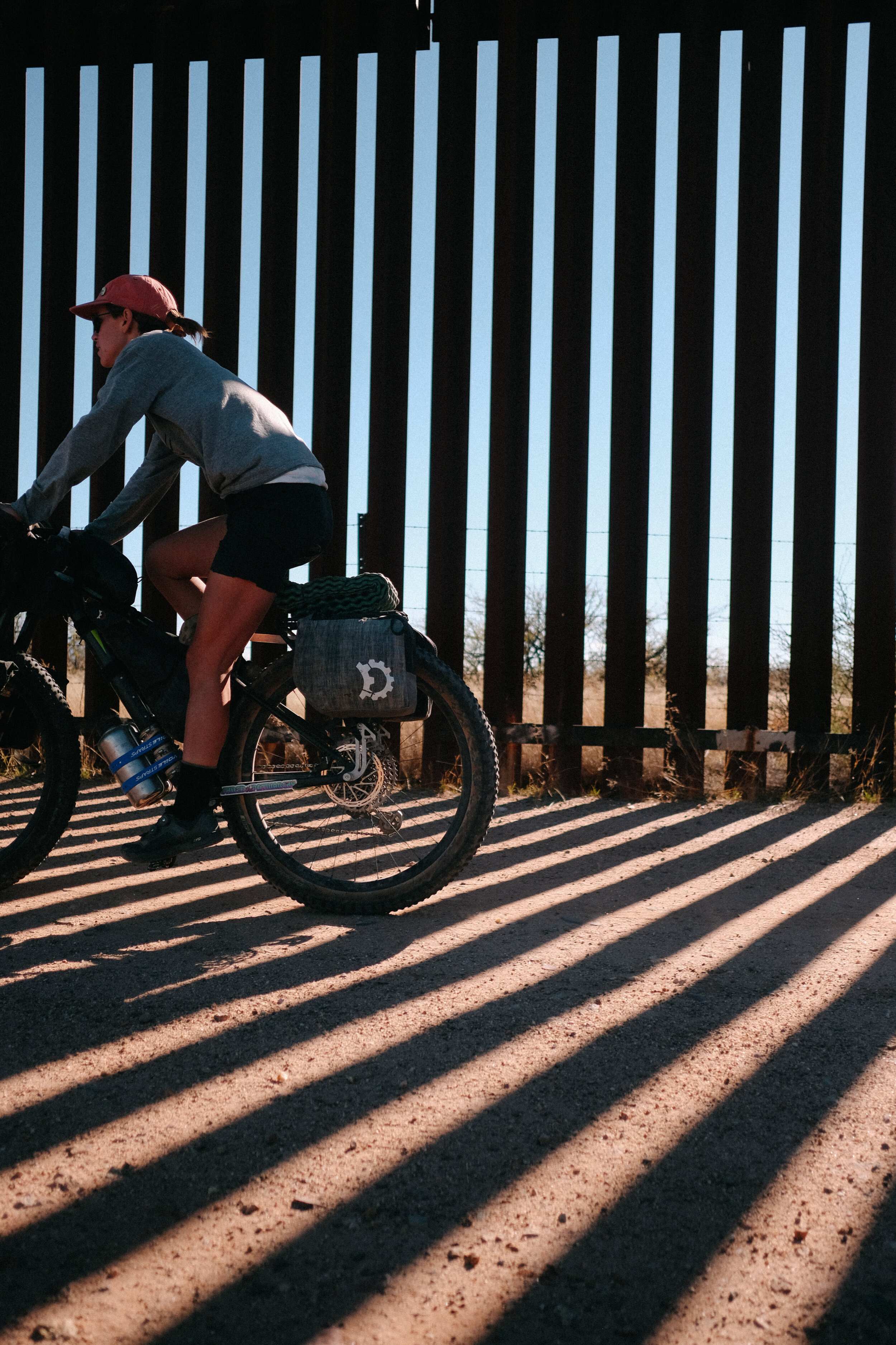
Ruta Del Jefe is not just any adventure bicycle race. This film shares how the event is used as a platform to raise awareness of environmental and political threats affecting the U.S./Mexico borderlands of Southern Arizona where Ruta Del Jefe takes place, and to inspire action among bicyclists. To learn more about Ruta Del Jefe, click here.

For this region, the fight is nowhere near over, which is why I will be hosting the event again in 2020. Save the date for Ruta Del Jefe Adventure Race on February 21-23, 2020. Registration will be limited to 100 people.

If you were touched by this event or film in any way I encourage you to read the latest news regarding No More Deaths and Save the Scenic Santa Ritas and pursue any or all action to help make a difference in Southern Arizona. I have listed some “action item” recommendations on how to do this below.

Latest News: No More Deaths

While No More Death volunteers continue to find human remains in the desert, Dr. Scott’s Warren’s trial resumes today, Wednesday, May 29th through Friday, June 7th.

Dr. Scott Warren is facing three federal felony charges for providing humanitarian aid to two migrants in the southwest borderlands of the United States. He has been charged with two counts of felony harboring and one count of conspiracy for, according to the charging documents, "providing food, water, clean clothes and beds". If convicted, he faces up to 20 years in prison.

Action Items

Latest News: Save The Scenic Santa Ritas

In March, Hudbay Mineral Corp. received the Clean Water Act permit (404 permit) from the Army Corps of Engineers. This means the mining company can move ahead on breaking ground at Rosemont.

Gayle Hartmann, SSSR president, writes, “We definitely do NOT want that to happen. We want our court cases to be decided first. The first case (against the National Forest Service and Fish and Wildlife Service) should be decided this fall, the second (against the Army Corps of Engineers) probably not for at least another six months. We believe we have a very good chance of winning one or both”.

Save The Scenic Santa Ritas only option to prevent construction at the site before their cases are heard is to ask the court to prevent Hudbay from moving ahead. Judge Soto, of the United States District Court for the District of Arizona, will be making a decision on whether he will grant the preliminary injunction in early July.

Action Items

Raw Cycling Magazine Interview with Sarah Swallow on Ruta Del Jefe

Published on Raw Cycling Magazine, May 2019

To learn more about Ruta Del Jefe, click here.

Photos by John Watson

What is La Ruta del Jefe Ride?

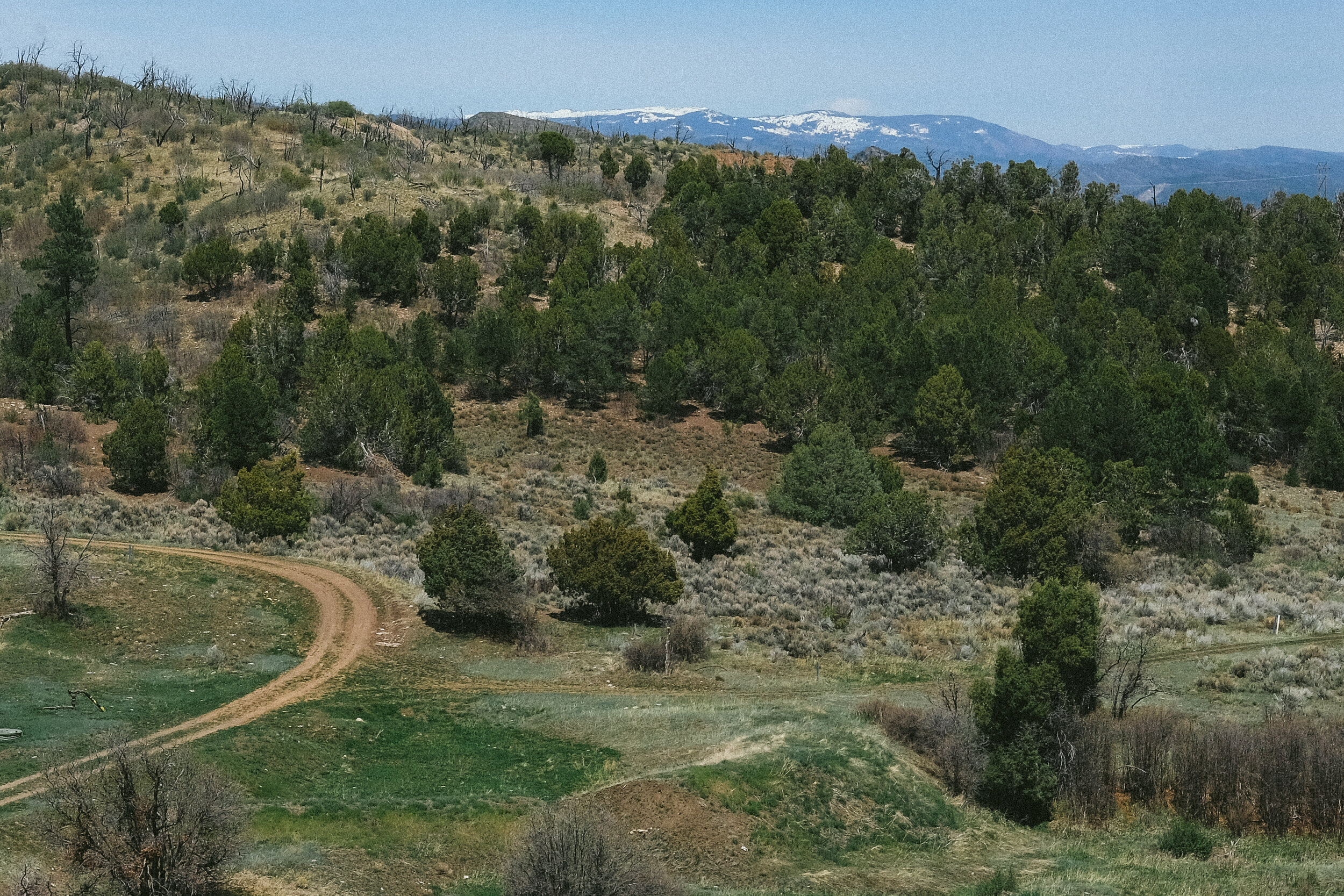
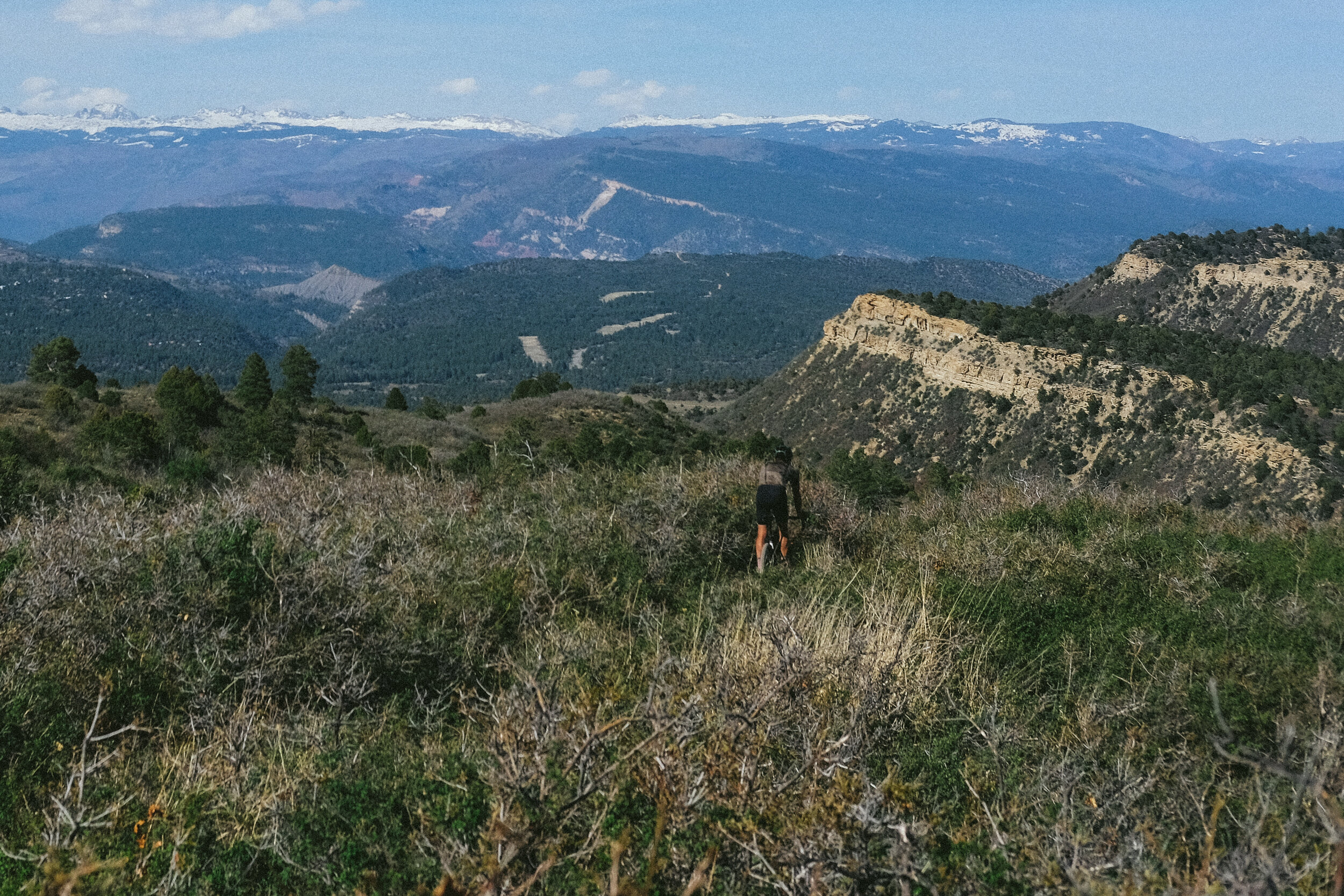
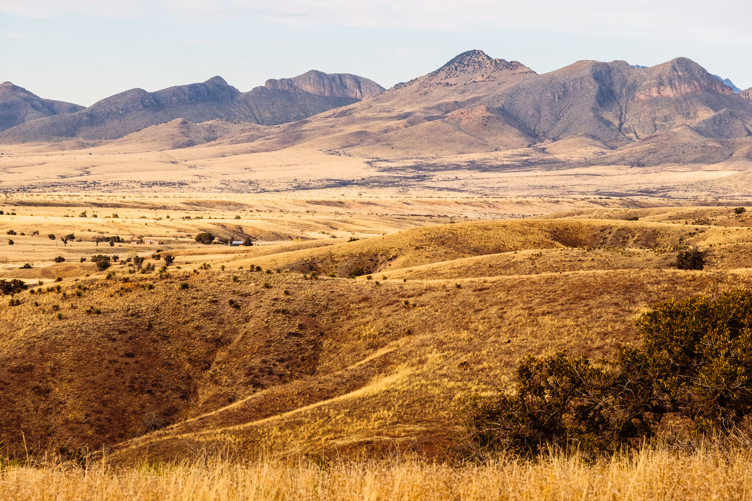
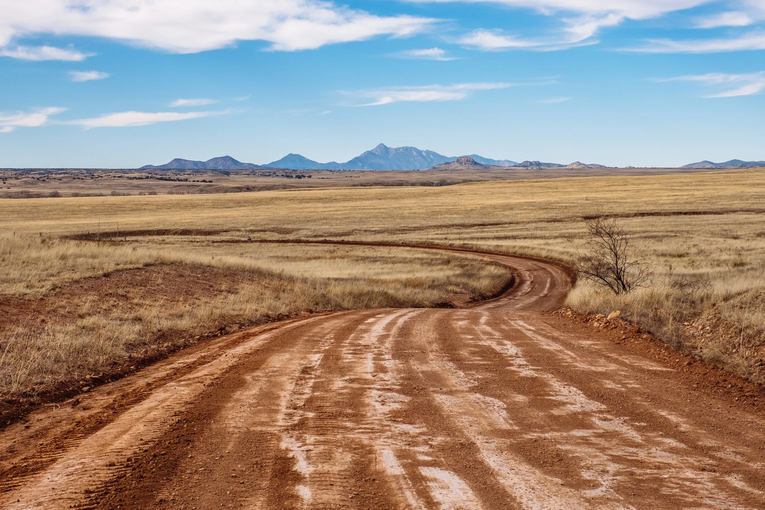
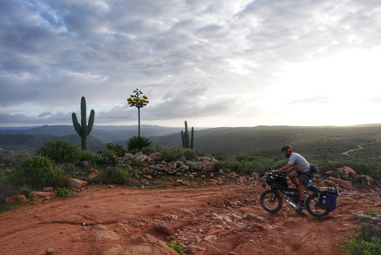
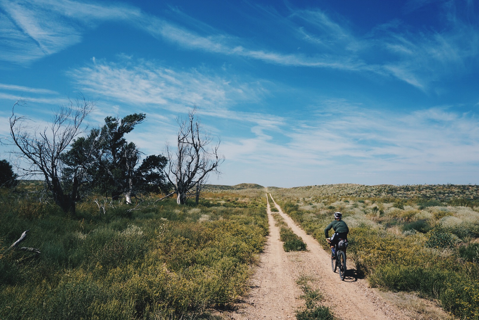
Ruta Del Jefe is a 125-mile self supported adventure race following dirt roads around the Santa Rita Mountains, the lair of one of the only North American Jaguars to live in the U.S., El Jefe. The event was born from a bikepacking route I developed for Bikepacking.com called, The Sky Islands Odyssey. The Sky Islands Odyssey (and Ruta del Jefe) is set in the Sky Islands region of the Sonoran Desert, in the US/Mexico borderlands in Southern Arizona. It is one of the most biodiverse places in the world and once of the most beautiful places to ride a bicycle yet, the region is plagued with many environmental threats and a humanitarian crisis that most folks are unaware of.

About the place and the race…

I first visited Southern Arizona a few years ago for a cycling training camp with Benedict Wheeler (Ultraromance) and was blown away by the diversity of scenery, the network of gravel roads, and the ideal climate in the winter months when I was craving sunshine and warm weather. After the camp, I immediately started scheming for a bike-packing route to explore the region more thoroughly. I visited the region seven separate times in 2017-2018 to scout, ride, and link up the many mis-mapped roads in the region, ultimately putting together three routes in one; a full loop, a west loop, and an east loop of varying lengths and difficulty. As I scouted these routes the environmental, political, and humanitarian issues in this region were apparent and as I began to do more research for the route guides it became unavoidably obvious to me that they are a huge part of the story of this land.

Goals

The goal for Ruta del Jefe is to challenge riders to take on the Sky Islands Odyssey East Loop in one single day while also raising awareness to the environmental and political threats affecting this region. Some of the key issues I highlight through Ruta del Jefe is the environmental threat of the proposed Rosemont Copper Mine (a one mile deep-one mile wide open pit copper mine) and Executive Order 13767 (which calls for a physical solid wall to be built along the border) would have on the wildlife habitat and migratory species, the water quality, and outdoor recreation in the Sky Islands region. Another issue I highlight is the current U.S. national policy to regulate illegal migration through “Prevention Through Deterrence” which deters illegal migrant traffic to more hostile terrain, less suited for crossing and better suited for enforcement. As a result of this strategy, hundreds of undocumented migrants suffer or die from dehydration, starvation, and the extreme journey through the desert each year within the borderlands where Ruta del Jefe takes place.

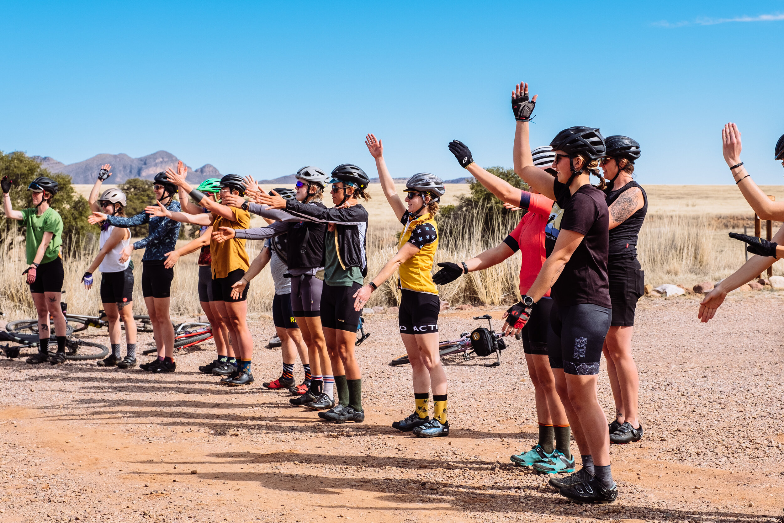
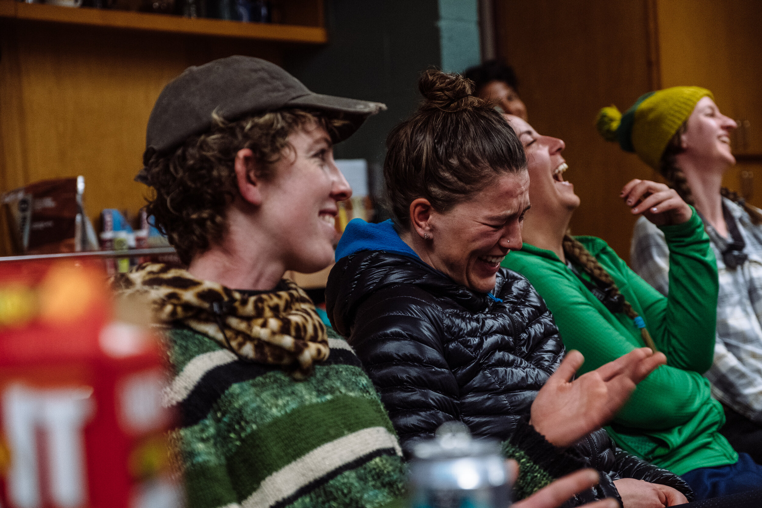
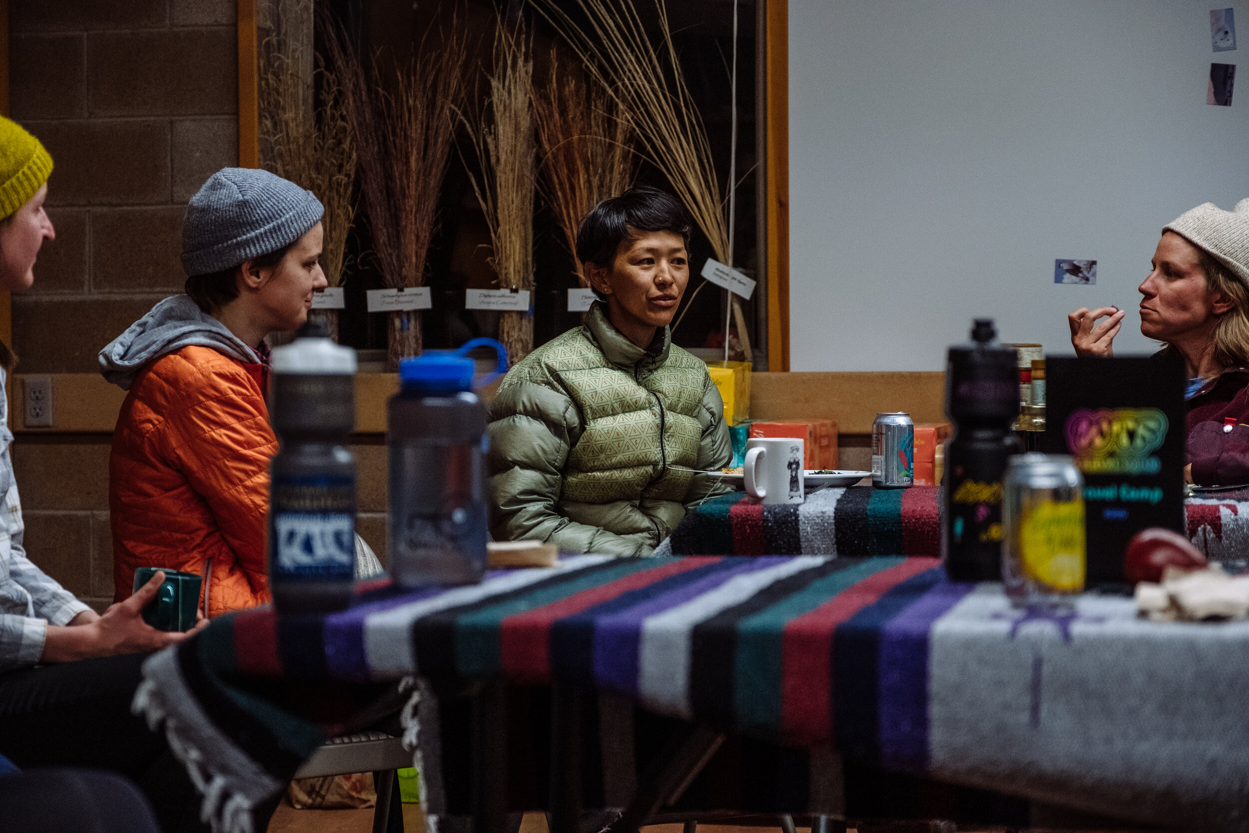
I believe that riding a bike in the Sky Islands region offers a unique perspective on these issues. In addition, since we have the privilege to travel to ride bikes in beautiful places, it is our responsibility to understand the big picture of the history of the region we ride, what is special and unique about them, what the threats are, and how we can help. So with Ruta del Jefe the cost of registration was a suggested donation to Save the Scenic Santa Ritas or No More Deaths. I also asked representatives to speak to the riders on behalf of organizations such as Save The Scenic Santa Ritas, No More DeathsThe Northern Jaguar Project, and the Appleton-Whittell Research Ranch of the National Audubon Society. The presentations took place the night before the race to give riders a greater context for the land they would be racing through the following day.

HIGHLIGHTS

WEEKEND, planning to prepare an epic race in an epic place

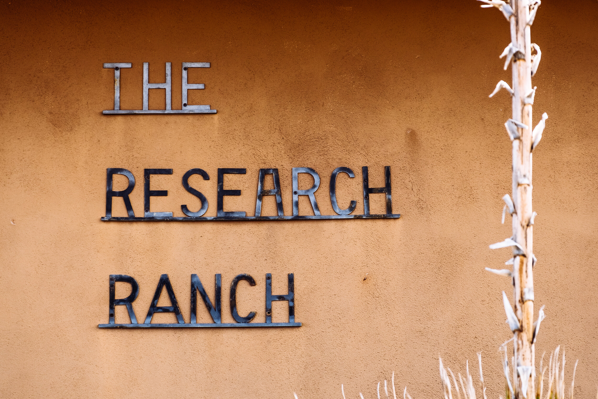
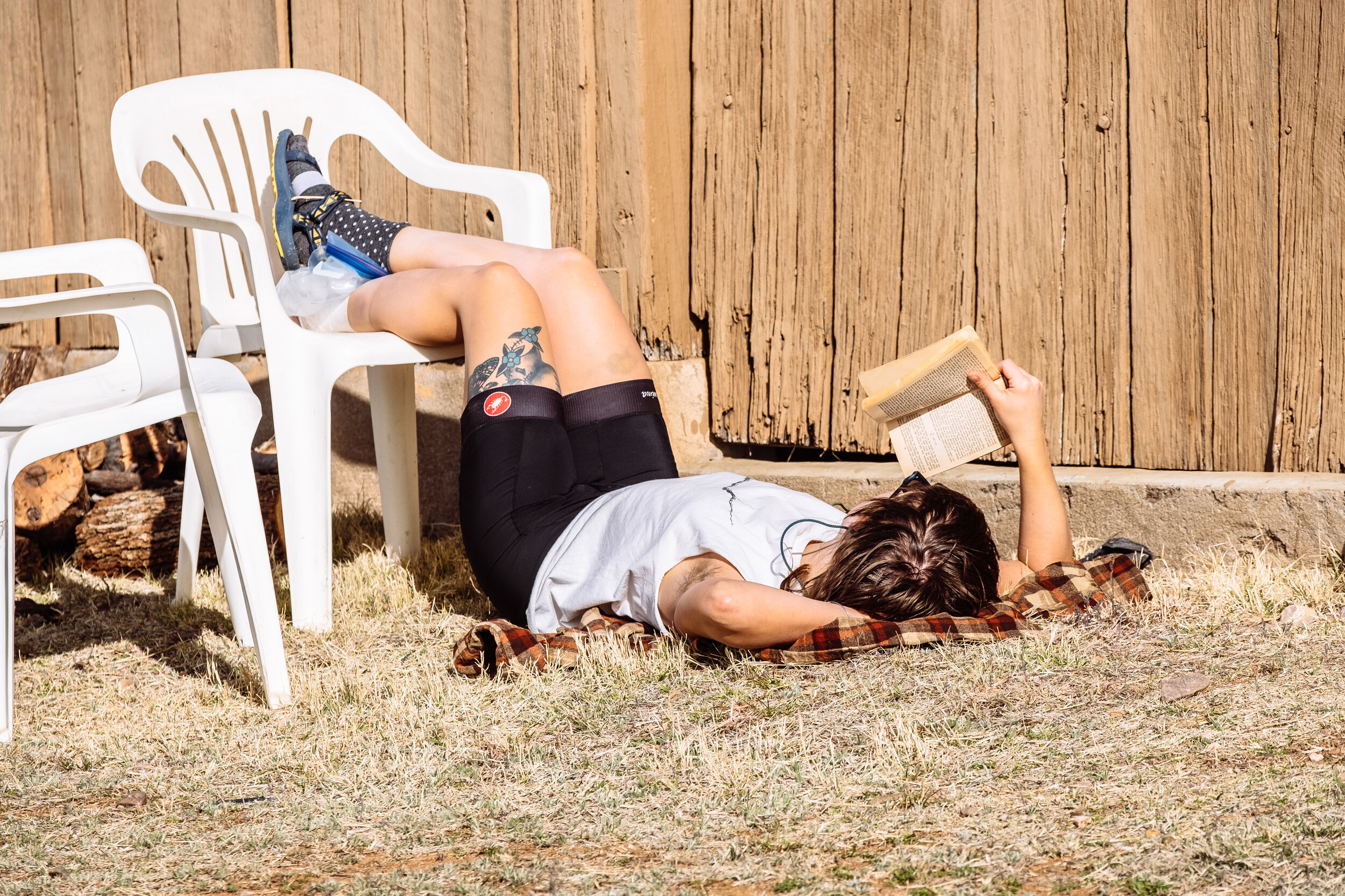
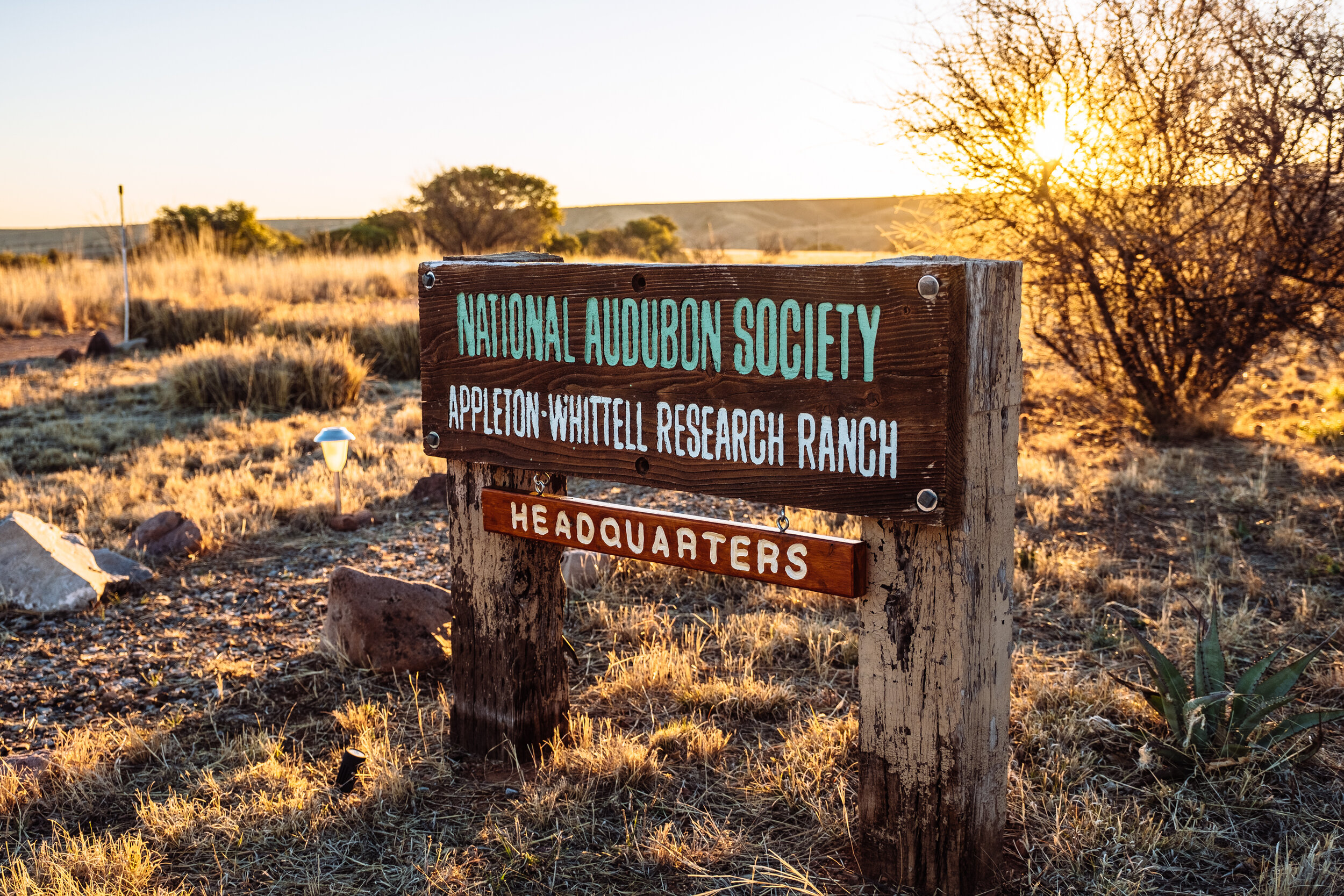
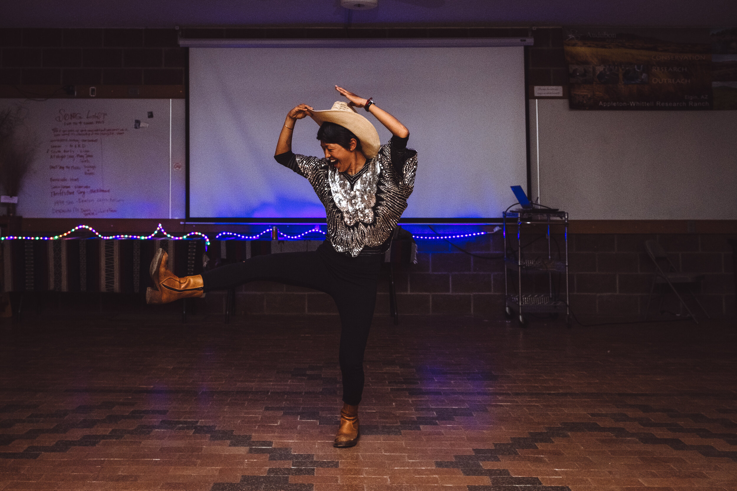
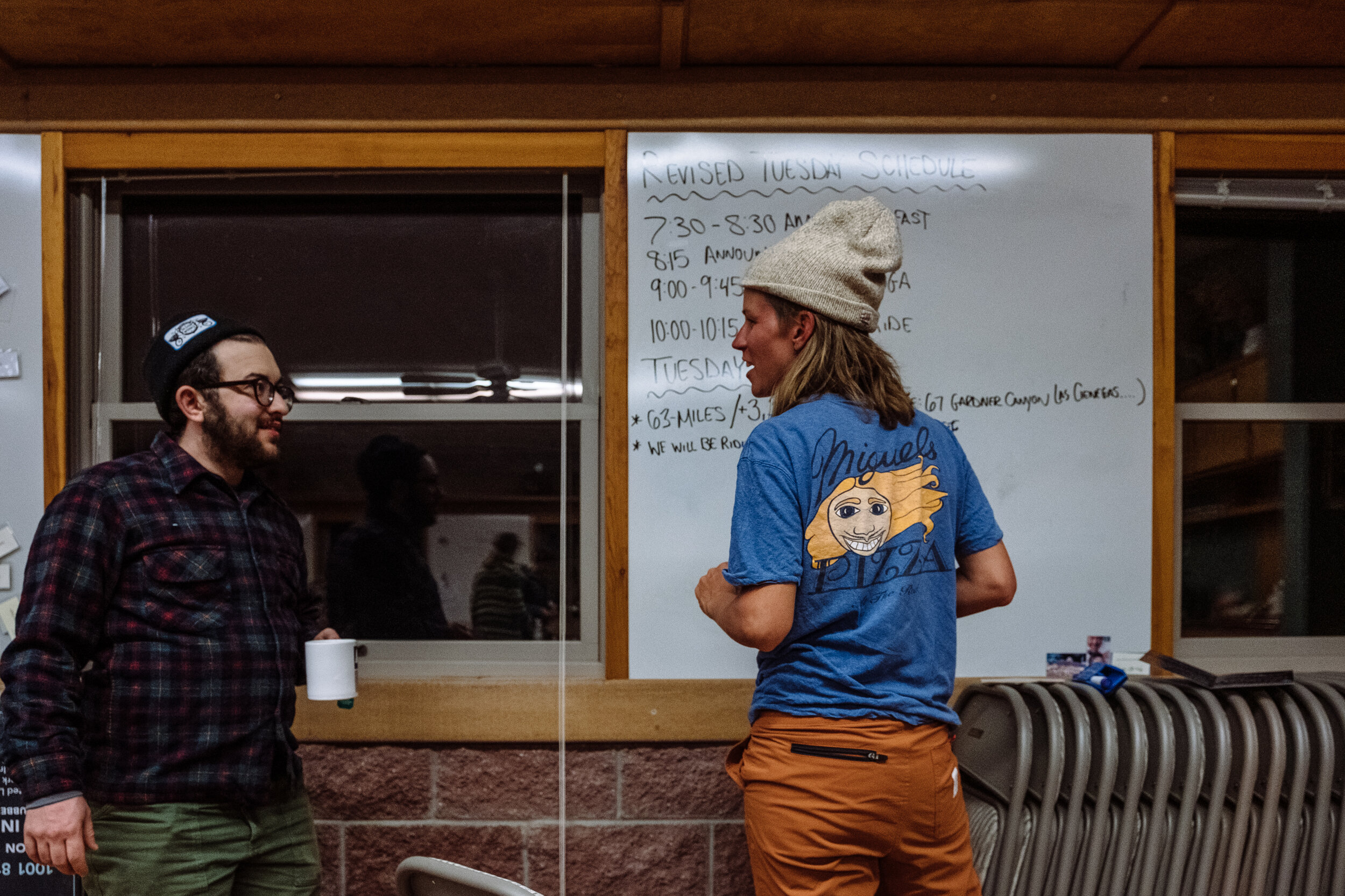
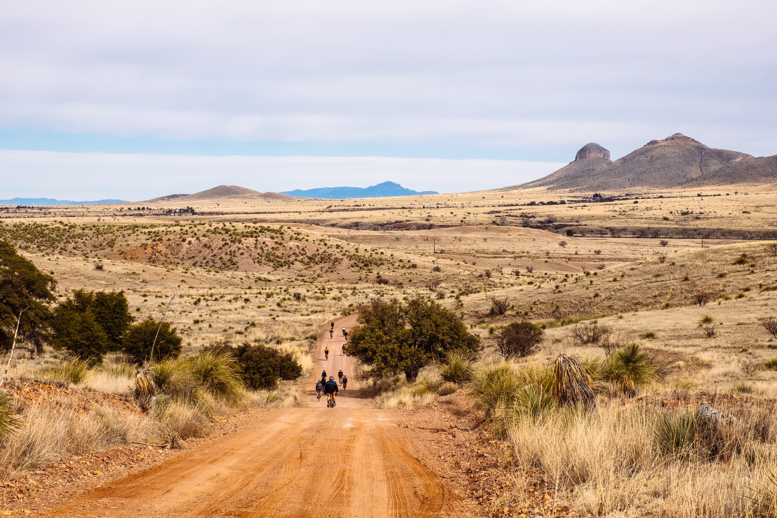
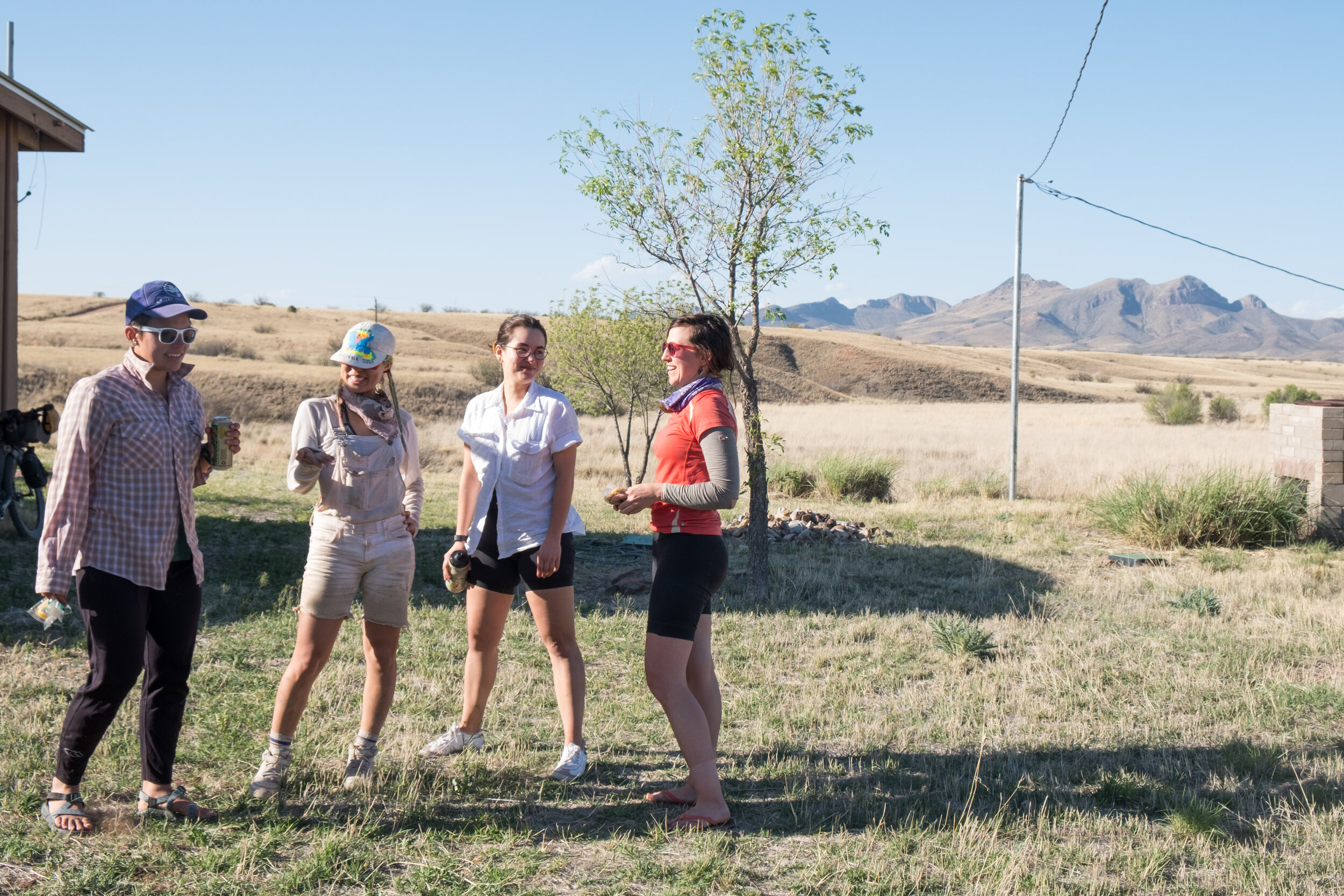
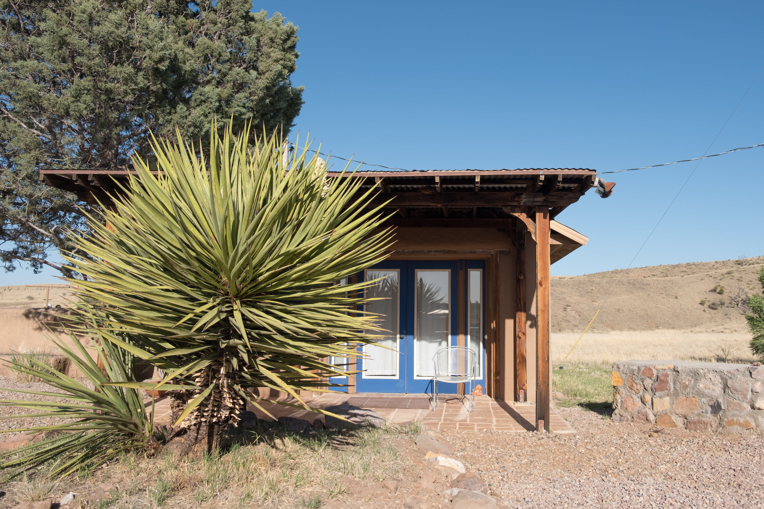
The event was hosted at the remote and private setting of the historic Appleton-Whittell Research Ranch in Elgin, Arizona which is surrounded by 30-year-old preserved tall-grasslands and preserved habitats for hundreds of bird species, reptiles, and bugs! Riders making their way from Tucson were greeted by a winding dirt road through tall grass and 360 degree scenic views of the Sky Islands region and ultimately the respite of the historic adobe ranch houses where they checked-in, set up camp (or car camp), and mingled among other cyclists arriving from far away places such as Canada, New York, Oregon, Idaho, Colorado, and California. Not so long after check-in Dan Levenson and The Cat Mountain Rounders serenaded us with old-time music as Benedict (Ultraromance) cooked up some vegan/dairy free/gluten free tasty dinner which was much appreciated by all. [Benedict studied sports nutrition in college and has a long and successful history with fueling himself to be a superior athlete stemming back to his bodybuilding days, his road racing days, and even today as a professional “lifestyle” athlete. He is well trained in the field of healthy eating, cooking, and providing appropriate nutrients to athletes]. Not long after our bellies were properly filled, the band packed up, and presentations began wrapping the evening together in an enlightening, educational, grounding, and inspiring way.

RACE, what’s waiting for a rider who wants to do La Ruta Del Jefe?

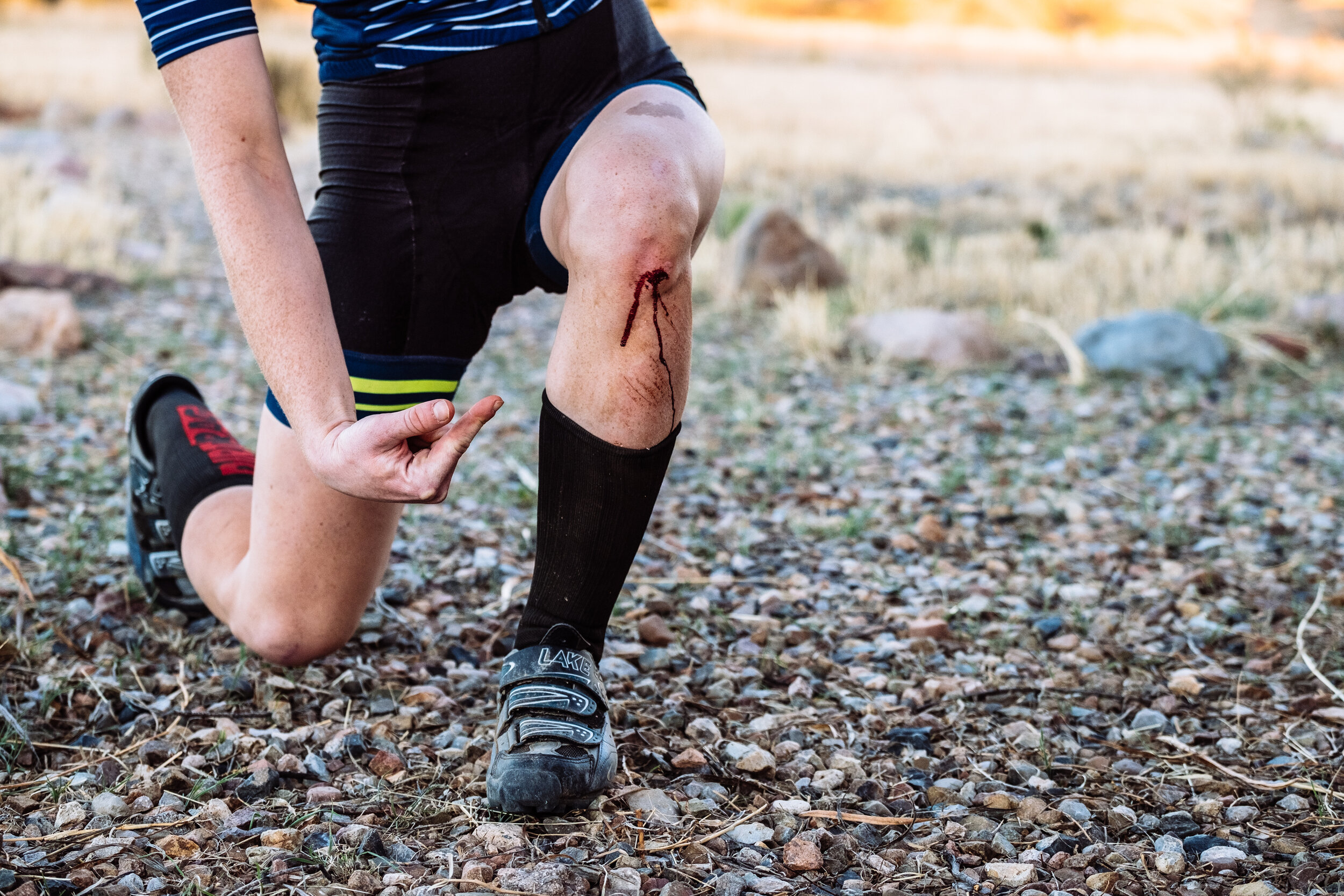
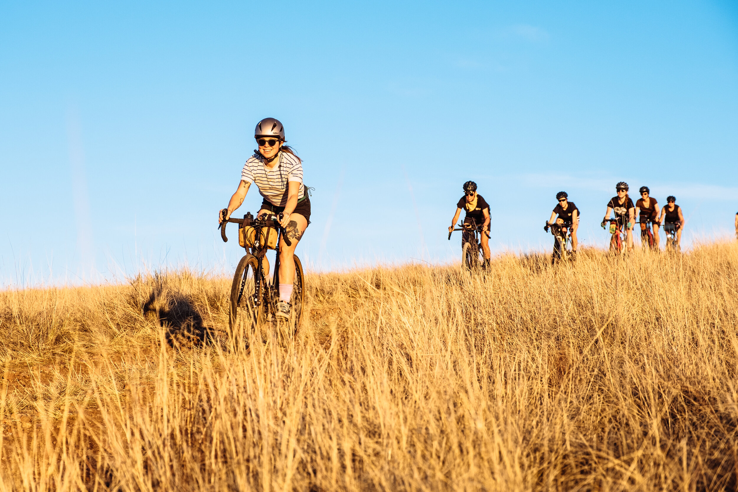
The race started Saturday at 7 am sharp with breakfast provided by Benedict and espresso beverages by my friends Ty and Julia. We were so lucky with the weather (it snowed a foot 2-days later) and within a few minutes of the start of the race, we watched a beautiful sunrise over the Mustang Mountains. It was a nice start to the day. The race was fast paced. Tailwinds on the west side of the course made for some incredibly fast times (First place time was 7.5 hours) despite the technical terrain along the route. My personal goal was to finish to see the sunset on the ranch again and that’s just what I did. After a month and a half of planning, a week of filming for the Ruta del Jefe Film, and 10-hours of racing, riding back onto the ranch property watching the purple and pink sunset light over the Mustang Mountains was a surreal and euphoric experience for me. The highlight of my day was sharing war stories around the table with other riders as we waited for the remaining ~30 riders to finish in the dark with temperatures dipping below 30 degrees Fahrenheit. From where we were waiting we could see cyclists headlights cresting the hill of the ranch property in the dark. From that point, it would still take them 45-minutes to an hour to arrive at the finish line but I loved seeing there headlights as they were coming in. I was so impressed that despite the long day, riding in the dark and freezing temperatures, that everyone returning had a smile on their face. This was a hardy and grateful bunch.

MORE

CYCLING, what’s cycling for Sarah J. Swallow?

For me, cycling is the best way to experience the world and to connect with the land, and other people. It also physically and mentally challenges me in ways that make me stronger for whatever life throws at me and nourishes my soul in a way that motivates me to work hard so I can keep exploring the possibilities the bicycle can offer.

WOMEN’S CYCLING, the future of cycling?

In terms of women’s cycling in 2019, I believe that there is a movement brewing for more representation and more opportunities within the bicycle industry as a result of a greater connection and community developing among WTF (women/trans/femme) cyclists themselves. There are so many of us getting out there and doing extraordinary things with bikes in yet until as of late, none of us knew each other or talked to one another. As one of the co-founders of the WTF Bikexplorers Summit and Rides Series, we saw the impact of connecting, supporting, and celebrating WTF cyclists who use their bicycles to explore by creating a space where we could share our experiences and discuss what we would like to see in the future. Within months of the summit, we started seeing more WTF and POC represented as brand ambassadors for the sport of cycling, and more marketing campaigns designed for our market. I think in 2019 it’s all about building more community for a greater and louder voice to keep this momentum up for the future.

MULTIPURPOSE, Writer, Cycling adventurer, brand ambassador, event organizer you’re involved in many ways with cycling, which is the part that you enjoy more about it and if you got a favorite?

Obviously, I do all these things so that I can live a life where I can ride my bicycle because that is truly my healthy happy place. Over time though, I have come to realize that I need balance in my life. I can’t just ride all the time because that makes me feel selfish and isolated from my community. I am also one of those people that if cycling hadn’t saved my life, I’d be over-working in an office somewhere. I’m a hard worker, I really like working so cycling helps me break away from that and be present with myself and those around me. On the other hand, the event organizing, ambassadorships, writing and route developing, allow me to work the hustle in a healthy, fun, and rewarding way that sustains my lifestyle. I love all of it!

WTF Bikexplorers Transparency Statement

Originally Published on WTF Bikexplorers in May, 2019

WTF Bikexplorers was founded in the fall of 2017 when six friends agreed to collaborate on a movement toward more connection, gender inclusivity, and racial equality within bicycle adventure travel through supporting, celebrating, and connecting communities identifying as Women, Transgender, Femme, Queer, and/or Non-Binary who use their bicycles to explore (albeit the outdoors, themselves, eachother, etc.) We do this by organizing an annual three-day national Summit that brings together 150 voices from across the globe to share skills, cross pollinate ideas, and connect with one another over rides, clinics, storytelling, and campfires. Prior to the summit we organize campaigns to connect our community and fuel the stoke for this movement through the SJ Brooks ScholarshipGrassroots Ride Series, and WTF Bikexplorers Swag

We believe that in order to create long-lasting change for more connectivity, inclusivity, and representation in our bicycle communities and the bicycle industry as a whole the WTF Bikexplorers Summit must be accessible to the people on the grassroots level doing work in their communities and/or at their local bike shops. 

In order to make the summit as financially accessible for those who will benefit from it the most we rely on a combination of sponsorship support, community funding, and swag sales to cover the Summit expenses. These expenses include normal business operating expenses, venue, and equipment rentals, ticket expenses for those who volunteer and present at the Summit, as well as a small organizer stipend. Through this structure we are able to make the ticket prices as close to free as possible while also covering the ticket expenses of the unique individuals who will share their voice, time, and energy at the summit through presenting and/or volunteering. 

In 2018 ticket prices were $425 for onsite camping and $275 for primitive camping. We covered the ticket expense for a total of 16 tickets for speakers and volunteers. 

In 2019 ticket prices are $150 for onsite camping and $225 for glamping in a yurt/walled tent. We will be covering over 33 tickets for speakers and volunteers.

Our ultimate goal is to raise enough funds through sponsorship support, community funding, and swag sales to make the tickets free to the public while also covering the ticket, travel and labor expenses for each individual doing work as a volunteer and/or speakers for the WTF Bikexplorers Summit.

As organizers of the WTF Bikexplorers Summit we budget to pay ourselves $4.5/hour for 15-20 hours of labor per week (before taxes) on WTF Bikexplorers related tasks which include ride series, scholarships, design, agenda, accounting, shipping, communication, sponsorship and community outreach, venue, tickets, presentations, website, newsletters, and media. Each one of us does this work because we have benefitted from being uplifted in spaces like the WTF Bikexplorers Summit and our jobs/lifestyle allow us the time and energy to work part-time on WTF Bikexplorers. While it is our ultimate goal to pay ourselves a living wage for the labor we put into organizing the summit and to motivate us to continue to do this work, our primary focus right now is to distribute any surplus funds to scholarship opportunities, volunteers, speakers, and reducing tickets sales for future summits. 

As you can see WTF Bikexplorers is a labor of love and in only its second year, very much a grassroots movement. Thank you to each individual who has gone above and beyond to support our mission through financial support, volunteering your time, and/or networking on our behalf as well as everyone rocking our #shredthepatriarchy stickers, leading rides in your communities, and spreading the stoke of WTF Bikexplorers. 

If our mission is the future you also want to see realized, we invite you to please consider making a donation! The WTF Bikexplorers are grateful for whatever level of support you can offer – no donation is too small to make a difference!


What’s in a Name: A Recap of the 2019 Land Run 100

Originally published on The Radavist on March 27, 2019

Photos by Brian Vernor

You might be wondering, out of all the gravel events popping up around the world, what makes the Land Run 100 special? Why ride gravel in Oklahoma, in a place known as “Tornado Alley”? If you are wondering this, you are not alone.

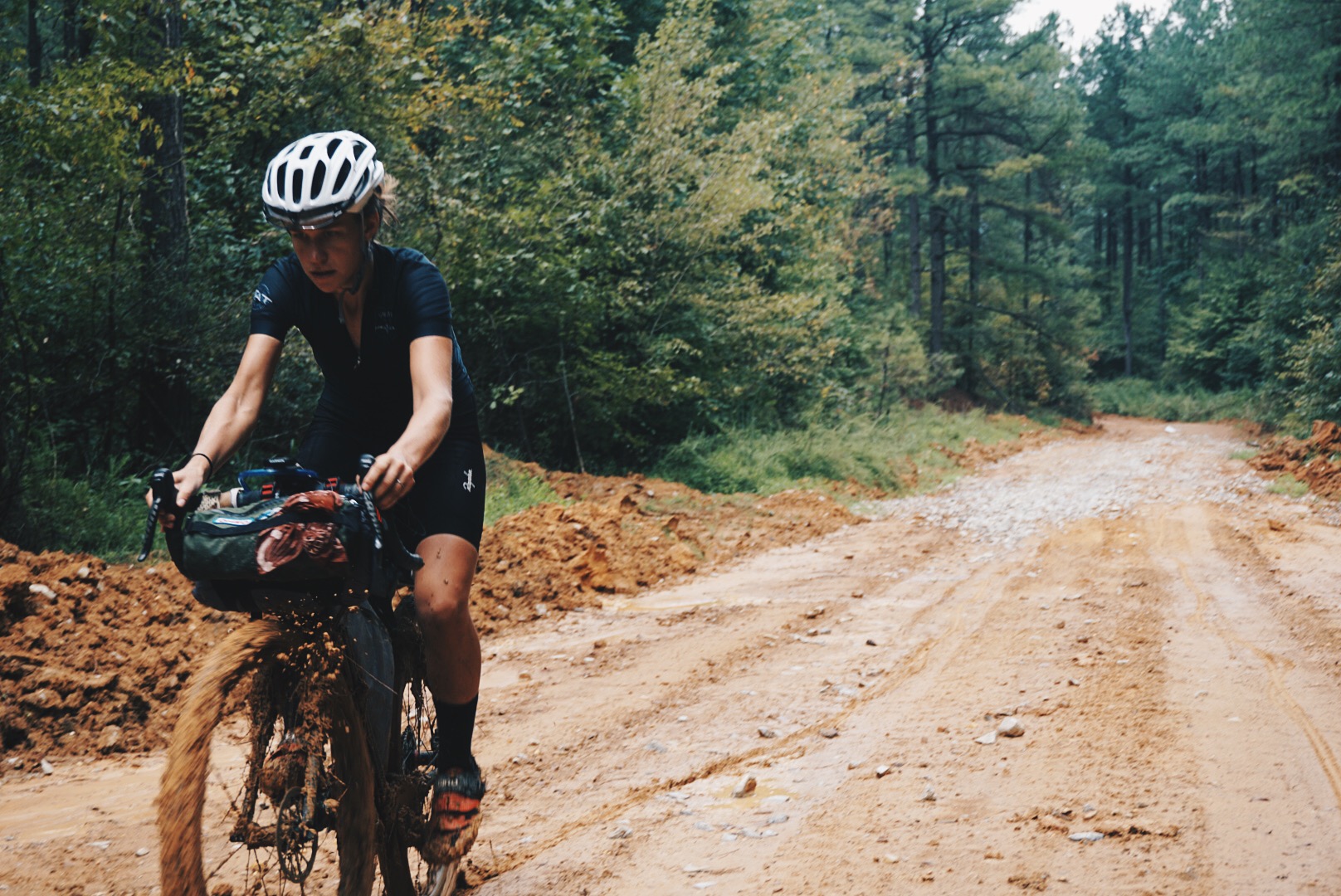
Last week, I had the opportunity to participate in my first Land Run 100 gravel race. Bobby and Crystal Wintle host the event from their shop, District Bicycles, in the center of historic downtown Stillwater, Oklahoma. The race attracts two thousand gravel cyclists from around the country and has some legendary stories attached to it. For instance, in 2017 rain soaked the red dirt roads to the consistency of peanut butter mud and only ~25% of the riders who started the race finished. Despite the treacherous conditions that bad weather can bring on race day, the Land Run 100 has established itself as a must-do event on the gravel race circuit. Before I talk about why I think that is and what I learned from my experience there, I’d like to acknowledge the history behind the name of the event.

The name Land Run refers to a historical event in which previously restricted Native American lands were opened to homestead on a first-arrival basis. The most famous land run was the Land Rush of April 22, 1889 where 50,000 people lined up on horseback, wagon, and foot to be the first to claim their parcel of the two-million acres available of what is now the state of Oklahoma. 

After years of raids and political pressure by the Boomer Movement to acquire these restricted, yet desired native lands, the U.S. Government appropriated the land from Chickasaw, Choctaw, Cherokee, Creek, Cheyenne, Comanche, and Apache tribes through the Indian Appropriations Act of 1889. Many of these tribes were originally displaced to this region by the Indian Removal Act of 1830 along the Trail of Tears. These native lands were ultimately made available to the public and for a series of land runs through the Homestead Act. 

An article in the New York Times, Into Oklahoma At Last, describes the scene from the day of the first official Land Run on April 22, 1889 in what is now Stillwater, Oklahoma.

“A great change has come over this town. Yesterday it was a metropolis, to-night it is a hamlet in point of population. The metamorphosis was effected at 12 o’clock to-day, when several thousand men, women, and children crossed the Canadian River and entered upon a wild struggle for homes in the promised land… In they go, helter-skelter, every rider intent on reaching the bank first. There goes a horse into a deep hole and his rider falls headlong out of the saddle.” 

The scene of the first official Land Run of 1889 was not so unlike the scene of the morning of the Land Run 100 gravel race of 2019. However, we were there for a radically different purpose. Rather than white-settlers stampeding their way to lay claim on native lands, gravel racers from around the country were lining up at the start line, chomping at the bit to claim, not land, but the glory of the ultra-endurance feat of riding 100-miles of Oklahoma’s historic and notorious red dirt.

Obviously, the inspiration behind naming such an event pays homage to the anglo-history of the chaos of how the town of Stillwater and the state of Oklahoma came to be settled. It’s very similar to the spectacle of 2,000 gravel racers ascending on a town for a long-weekend. The reality is that the name behind this race has some historical baggage that begs the question, “should we be celebrating it?”. If the answer is yes, I believe it should be done in a way that promotes a greater awareness among participants of the whole history behind the name. It’s a challenging, controversial, and daunting task but it can be accomplished with the help of a community. After all, realizing our potential to overcome challenges so we can be better in the future is why the Land Run 100 gravel race was created in the first place.

What I came to realize over the 4 days I spent roaming around Stillwater was that what makes this event so appealing over other gravel events is the community that comes together to generously give their time, energy, and space to make 2,000 strangers feel like they are part of the family and returning home after a long journey. You all know by now about the infamous loving energy of the race promoter, Bobby Wintle, who hugs each individual rider that crosses the finish line. But do you know about Keith, Barb and the countless others who host cyclists in their homes? What about Crystal? Who organized scholarship opportunities for WTF cyclists to participate in the race and a WTF ride party to celebrate all 200 WTF cyclists registered for the event? What about Sally and the countless volunteers who made sure everything happened without a glitch? The collective effort, energy, and love shared by the people of Stillwater was enchanting and is obviously what will keep people returning home for years to come.

I am no stranger to these events; I entered the gravel race scene back in 2013 with races such as D2R2, Three Peaks Ultra Cross, Gravel Grovel, Rouge Roubaix, Almanzo 100, Barry-Roubaix, and Ride Ten Thousand. To give you some context of where I was as a cyclist in those days, I usually finished so late that there was no more free food left at the finish line. Alas, I didn’t think I was cut out for this sort of thing. I hated pain and I enjoyed taking pictures and breaks too much to justify the expense of race entries. So I started breaking away from these events to do my own thing, exploring via bikepacking full-time. I briefly returned to the gravel racing in 2017 for the Dirty Kanza 200 which was enough of an experience for me to relapse into bikepacking full-time again.

With bikepacking it can sometimes take an entire day to travel 25-35 miles. During many trips I often ask myself, “Am I even capable of riding 100-miles anymore? What has happened to me? All I do is eat, sleep, smoke weed, and ride slow.” So, after I signed up to do the Land Run 100, I set a goal for myself to use the challenge to gauge my fitness and to go as fast as I could, for once in a long while.

On the Friday before the race, I was wandering around town as Bobby was hosting one of the pre-race meetings. Over the sea of gravel punks, spandex kits, and ultra pros I heard Bobby say that we could all learn how to deal with pain better. It is a transformative skill that can be practiced during these ultra-endurance events that we can carry into life’s many real challenges. This stuck with me during my Land Run 100 gravel race from the moment the start cannon fired, through hugs at the finish line, to this very moment, as I write this story.

I am so privileged when it comes to gravel riding. You could call me a gravel snob. As a professional adventure cyclist, I spend most of my time seeking out the best gravel roads through the best scenery I can reach on two wheels. I have also ridden across the great state of Oklahoma on dirt roads before, so I mean this with no offense that I was personally not at the Land Run 100 for the scenery. I was there to see how fast I could get it done and to socialize before and after. 

My strategy to get it done as fast as possible was to line up in front with the fast folks, hang on for dear life, and keep stops to a minimum. I don’t do intensity often, so the first 55 miles of riding with a group too fast for me was pure agony. I have no idea how people can talk in groups like that. My apologies to anyone who tried to talk to me and I only responded with “grunt.” My legs were frozen stiff, my all carbon bike felt like it weighed 100 lbs, and I had a wicked stomach cramp for a solid chunk of time. At the one and only checkpoint, I finally lost track of my group. My spirits were low, my negative self-talk was high, and my belly very empty because after all this time I still struggle with eating while riding. I slugged a Coke, filled my bottles, and immediately hopped back on my bike and onto the course. 

Free from the crowded pace line I could absorb my surroundings, ride my own line, snack, and eventually find my mojo. I had surpassed the pain and transcended into a calmer space where I was more present with myself, my needs, the color of the red dirt, the blue sky and the grey trees– a countryside on the verge of Spring. Before I knew it, I was having a blast! At least for a solid 25-miles until the pain crept back, tapping me on the shoulder and letting me know it was time to take care of myself again. Bobby’s words would come to mind, that the pain is only temporary. I ate, drank, stretched and transcended again.

I had forgotten to look at my ride time all day since I was fixated on how many miles were left. So, after I crossed the finish line, received my hug, and an ice cold La Croix, I was surprised to see I had completed the ride in 6 hours and 28 minutes, securing 14th Woman Overall and 3rd place in the Women’s 30-39 category.

Something about the gravel race environment finally clicked for me at the Land Run 100 and I think I’m finally hooked. What I learned is that success is not indicated by a time or a place. It’s the experience of surpassing the pain and discomfort of an extreme challenge and entering into a euphoric state and getting to say, “I had fun out there despite how painful it was.” The ebb and flow between pain and euphoria is like an addictive rewarding drug. No wonder people keep coming back for more. Thank you Bobby, Crystal, Sally, and Stillwater.

Adventure 101 - Adventure Pro

Originally published on Adventure Pro in September, 2018

In 2015 I needed to make a change in my life, so I closed my bicycle shop in Loveland, Ohio, moved out of my house and embarked on a 5,000 mile bike ride across the U.S.A, all on dirt roads. 

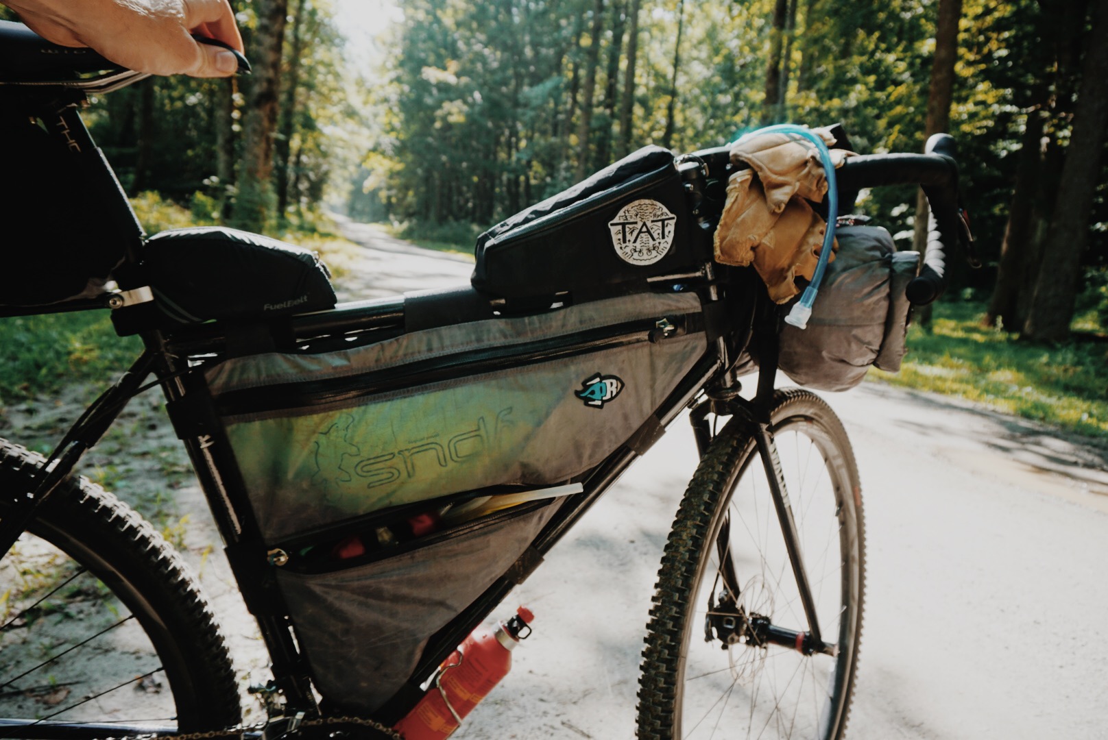
The route I followed is called the Trans-America Trail, or TAT, and is traditionally traveled by dual-sport motorcycles. I realized on my TAT adventure that I would rather live to be free than work to live. I wanted to continue to travel and share my experiences from the road through photos, stories, and bike routes, so I kept riding and living nomadically. To say the least, for me it’s pretty awesome.

For the past three years I have ridden my bicycle and camped over tens of thousands of miles of dirt roads throughout the U.S., Canada, Mexico, Spain, and Morocco. To date, I spend seven to eight months out of the year living on my bike. For the rest of the time I base myself in Durango, Colorado. 

How do I make it all work? People ask me all the time. I support myself through sponsorship, writing stories for blogs, magazines, and books. I organize events and make bikepacking routes. You can even find me working part-time at a bike shop, the Durango Cyclery, for a few months out of the year. 

While bikepacking changed my life drastically, you don’t need to give up your job, your home, or your pets to benefit from the thrill, challenge and freedom that bikepacking adventures can bring. Here are some of my recommendations for how to get started.

Sarah Swallow’s Tips for Beginner Bikepacking

Plan ahead. But not too much. Be sure to note the distance of your route, the elevation, food and water resupply points. 

Don’t rush it. Take a lot of breaks, go for mid-ride hikes and swims, explore and take pictures! Ditch those gel packs, and bring real food for a picnic (i.e. hard salami, cheese, crackers and olives). 

Get out there, no matter your gear.You don’t need fancy gear to start. Work up to it and use what you have. My friend carried a backpack full of her stuff and strapped a full size pillow to her bike on her first bikepacking trip and she had a blast. Also head over to www.bikepacking.com for general information about bikepacking, gear, routes, events, and stories. 

Embrace the unexpected. We live such rigid goal oriented lives that it can be challenging to be flexible, adaptable, and to embrace the unexpected change that can happen during an adventure. Bikepacking can be a lot less stressful and a lot more fun if we can let loose a little. 

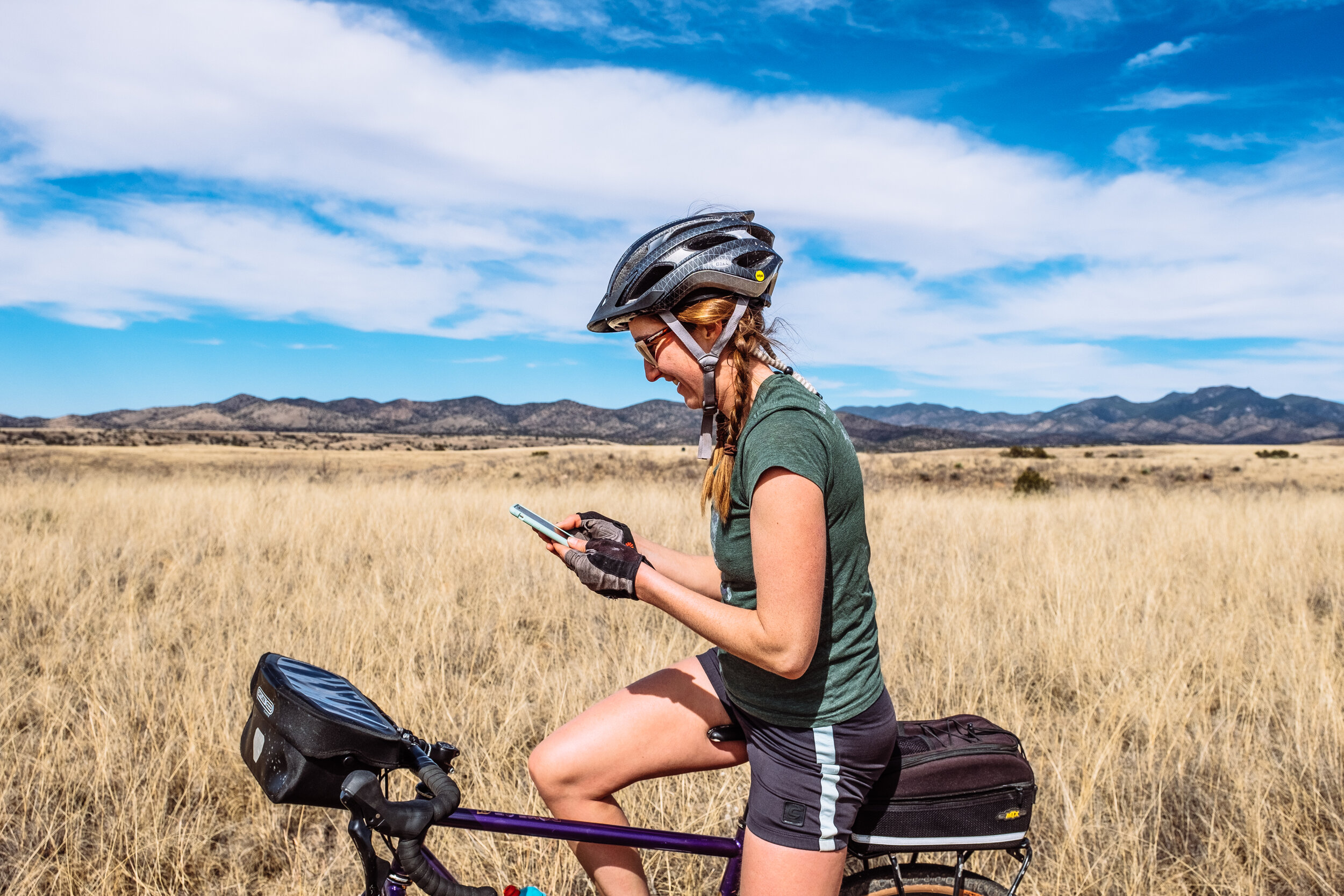
Use a GPS device and make navigating easy. These days our smartphones make great GPS devices. There are loads of applications where you can download base maps and routes to follow. My favorites are Gaia GPS and Ride With GPS. 

Start small. Plan more time than you think you need for your first few trips. A 50-mile route fully loaded with bikepacking gear will take much longer than it would unloaded. My favorite average mileage per day is 25-30 miles depending on terrain (dirt road vs. singletrack), conditions, and elevation.

Visit public lands. I suggest starting in the closest national forest or BLM land to you for quiet roads and trails, and easy camping. Maps for public lands are easily accessible and outline different trails, roads, and campgrounds making it a bit easier to plan a route to follow.

Bring the necessities. Shelter, sleeping bag, sleeping pad, GPS device, battery, water filter, tool and repair kit, food, wool layers, down jacket, rain jacket, water bottles or water bladders. 

There is no shame in music doping. I ride with a Boombotix Stereo and play my favorite tunes to get me through the tough times. Plus, when you are out in the middle of nowhere you can dance and sing as loud as you would like. 

Ride dirt roads. While singletrack can add a certain level of peace, quiet, and adventure, it can also take a physical and mental toll when you ride them on a fully loaded bike. Dirt roads are great options for bikepacking. They will get you out there but are less technical than bikepacking on singletrack.

Four Beginner Friendly Bikepacking Routes in the Four Corners

Cedar Mesa Loop, Utah: 154 Miles, 9,607 ft of elevation gain, 60% unpaved, 0% Singletrack, 3-4 days. 

Alpine Loop, Colorado: 80 Miles, 7,800 ft of elevation gain, 85% unpaved, 0% singletrack, 2-3 days. 

Valles Caldera Supervolcano Explorer, New Mexico: 121 Miles, 12,624 ft of elevation gain, 90% unpaved, 3% singletrack, 3-4 days. 

Craters and Cinder Cones Loop, Arizona: 185 Miles, 12,000 ft of elevation gain, 90% unpaved, 2% singletrack, 3-4 days. 

Intro To Bikepacking with Sarah Swallow (Interview)

Originally published on Katadyn Group on April 15, 2018

What are your biggest three tips for making the most of your bikepacking experience?

Plan ahead (but not too much), don’t rush it, and take a lot of breaks.

What is your advice for those who are just beginning in the bikepacking world?

Get out there, no matter your gear. My friend carried a backpack full of her stuff and strapped a full size pillow to her bike on her first bikepacking trip and she had a blast. Also, head over to www.bikepacking.com for general information about bikepacking, bikepacking routes, inspirational stories, gear talk, and upcoming bikepacking events/rides.

What is your favorite place that you have bikepacked through and why?

I love Baja California Sur and Oaxaca Mexico because you can ride from desert mountainous terrain to amazing beaches in a relatively short distance. I love exploring the world under water by getting out for a swim with a good pair of goggles after a long hot ride. The people in Mexico are some of the most friendly and cheerful I have come across which makes bike touring that much more pleasant. Also, the food is delicious!

What is the biggest challenge that comes with backpacking?

For me, it can sometimes be the initial decision it takes for me to commit to try something new or outside my comfort zone. I also feel that we live such rigid goal oriented lives that it can be challenging to be flexible, adaptable, and embracing the unexpected change that happens during an adventure. Bikepacking can be a lot less stressful and a lot more fun if we can let loose a little.

What detail and planning go on behind the scenes when building a route for bikepacking?

I generally start with paper maps to familiarize myself with the areas roads, points of interest, and wild spaces. Then, I get on my laptop and RidewithGPS.com and start plotting route drafts in ‘satellite mode’ and ‘street view’ in order to see if the roads I am routing are dirt roads or paved roads (I prefer dirt). Once I have a route, I make a cue sheet for myself on my phone in Apple Notes where I note the mileage between resupply points (aka towns). Once I have all that done, I save the GPX route file I made on RidewithGPS.com to my computer and then transfer it to my Garmin GPS Device and to my Gaia GPS App on my phone. On Gaia GPS, I download the offline base maps of the area that the route I made is in so I don’t need to carry a paper map. If I need to make a change to the route mid ride, I can do that on the Gaia GPS App or I will find an internet café and use a computer there.

Are there certain things you look for in a route?

I’m always looking for a combination of dirt roads, historic or mystic places, bodies of water, interesting geology, flora/fona, and good potential for camping, away from cars.

Where does your love for cycling stem from? Is there a defining moment in your life that brought you to the bike path?

I grew up in Southwest Ohio and I played sports that always required a lot of running. When I graduated from high-school my parents gifted me my first road bike and I instantly fell in love with how low-impact cycling was on my body how far I could go. That bicycle opened up the world of all kinds of cycling for me and exposed me to people and places I never would have experienced otherwise. Riding bikes still does that for me!

What is a good starter trail route for beginner bikepackers to try out?

I suggest starting in the closest State or National Park/Forest to you. Maps that outline different trails and roads are very easily accessible for these places and it would be easy to plot out a short overnight or two.

As for established routes I recommend…

East Coast: The Great Alleghany Passage and the C&O Canal Trail.

West Coast: The Oregon Outback

What are gear necessities you bring with you on your routes?

Shelter (rain tarp, ground sheet, and bug net)

Sleeping Bag and Sleeping Pad

GPS Device

Water Filter

Tool/Repair Supplies

Boombotix Stereo

Snacks

Wool Layers

Down Jacket

Rain Racket

Water Bottle

In three words, how does bikepacking make you feel?

Full of Life ☺

What’s your next adventure you have planned?

I have a lot of mini trips planned for the spring and summer. Right now, I’m packing up my bike for a 3-day jaunt through Paradox, Utah with a big group of friends. It should be a grand ‘ol time. In August, I’m looking forward to the WTF Bikexplorers Summit and Ride in Whitefish, Montana. My favorite time to do long trips is during the winter by going to places that aren’t so wintry. I just started planning my upcoming winter trip where I will be living on my bike for 4-months while visiting Japan, Down Under, Laos, and the Hawaii Islands.

The Freedom to Recreate

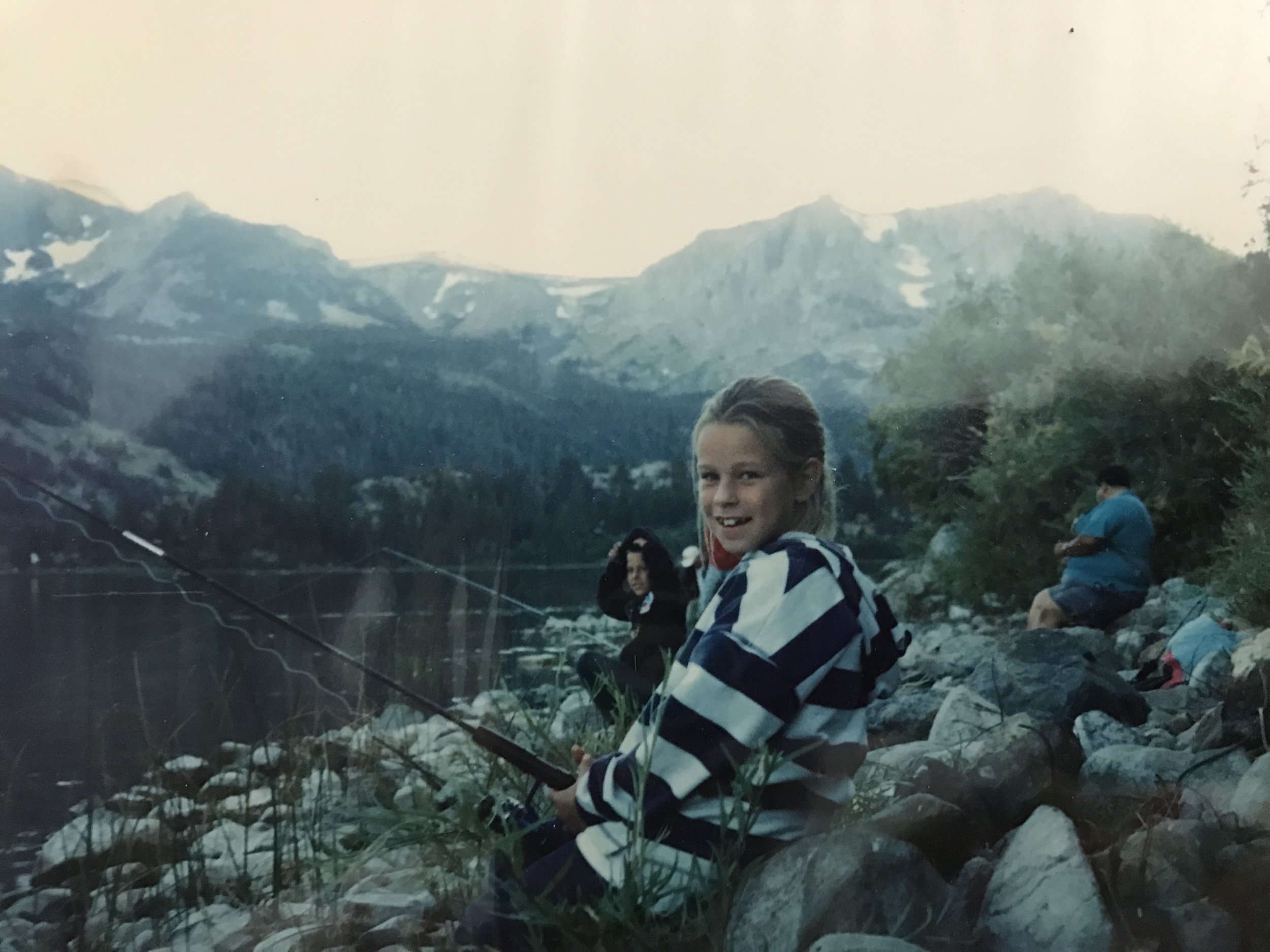
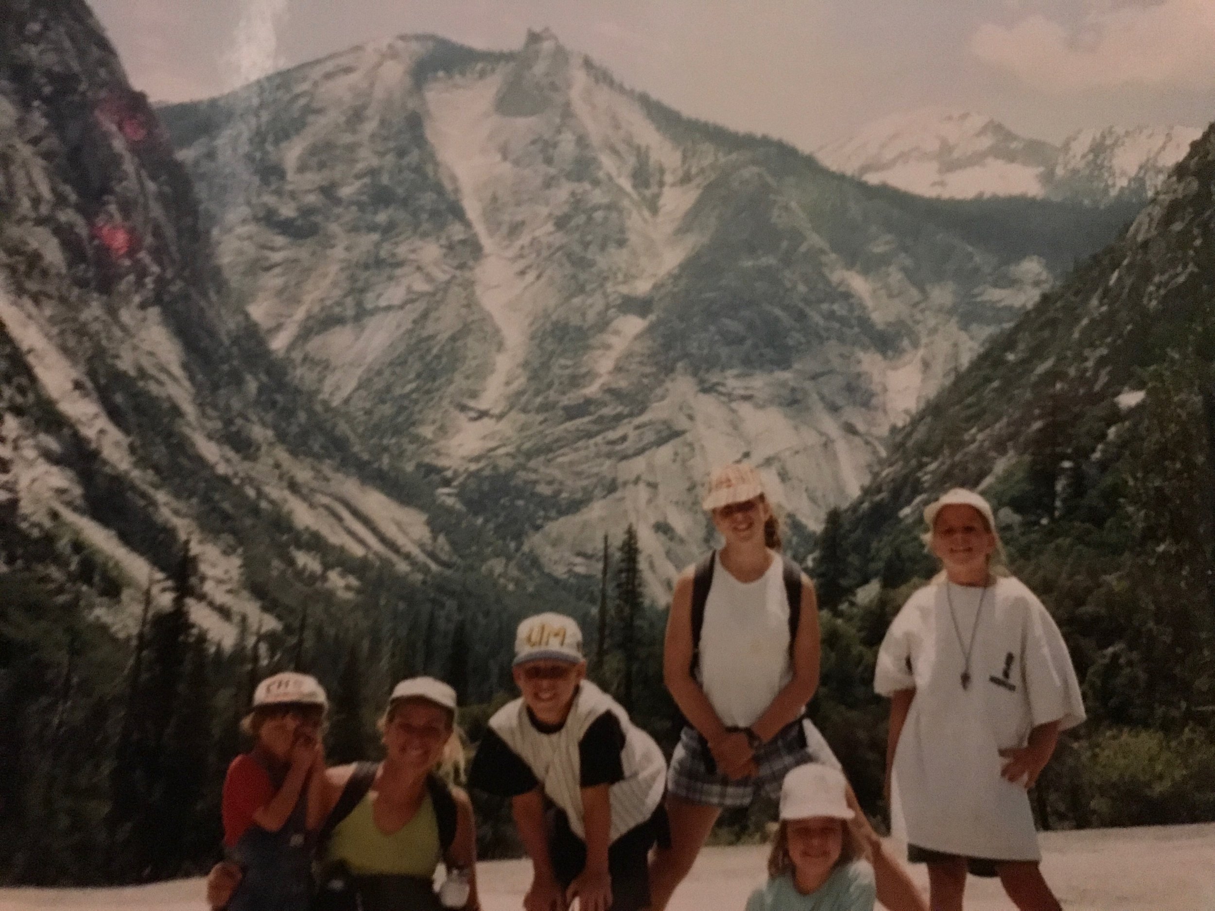
My first memorable experiences with public lands occurred in Southern California over a seven-year period during which my parents homeschooled my five siblings and me. Our education included regular trips to public lands and parks such as Mono Lake, Kings Canyon, Yosemite, and June Lake. In these places, I noticed how the air felt crisp and smelled like pine — how quiet and peaceful it was. I associated those positive feelings with the fun I had hiking, fishing, and camping.

Eventually, my Dad changed jobs and we moved to the suburbs of Cincinnati, Ohio, where things changed for my family. We all started going to private school and we stopped exploring. For the remainder of my middle and high school years, the places I spent outdoors were in the woods behind my parent’s house, on a field hockey field, and in and along the Little Miami River.

I didn’t find the desire to explore again, until I started riding bicycles. The more I rode around the suburban sprawl-inflicted countryside by my parents house, the more I desired finding a quieter, more scenic place to enjoy my rides. I looked to Google Maps for inspiration and noticed the solid green spaces outlined on the standard map. I zoomed into to the closest one to home and found Shawnee State Forest.

Google_Parks.png

After an hour and a half of driving, I found a natural amusement park of winding rolling gravel roads through lush forests and eroded valleys in the heart of the Appalachian foothills, devoid of cars and people. I had lived in Ohio for 12 years and had never seen a place so beautiful. I rode a different pace in Shawnee State Forest. Rather than rushing through my ride, I enjoyed longer and more frequent breaks, just to soak up my surroundings. I was hooked and I started to explore more of those green solid spaces on Google Maps throughout the Midwest, Southeast, and eventually across the country by bicycle.

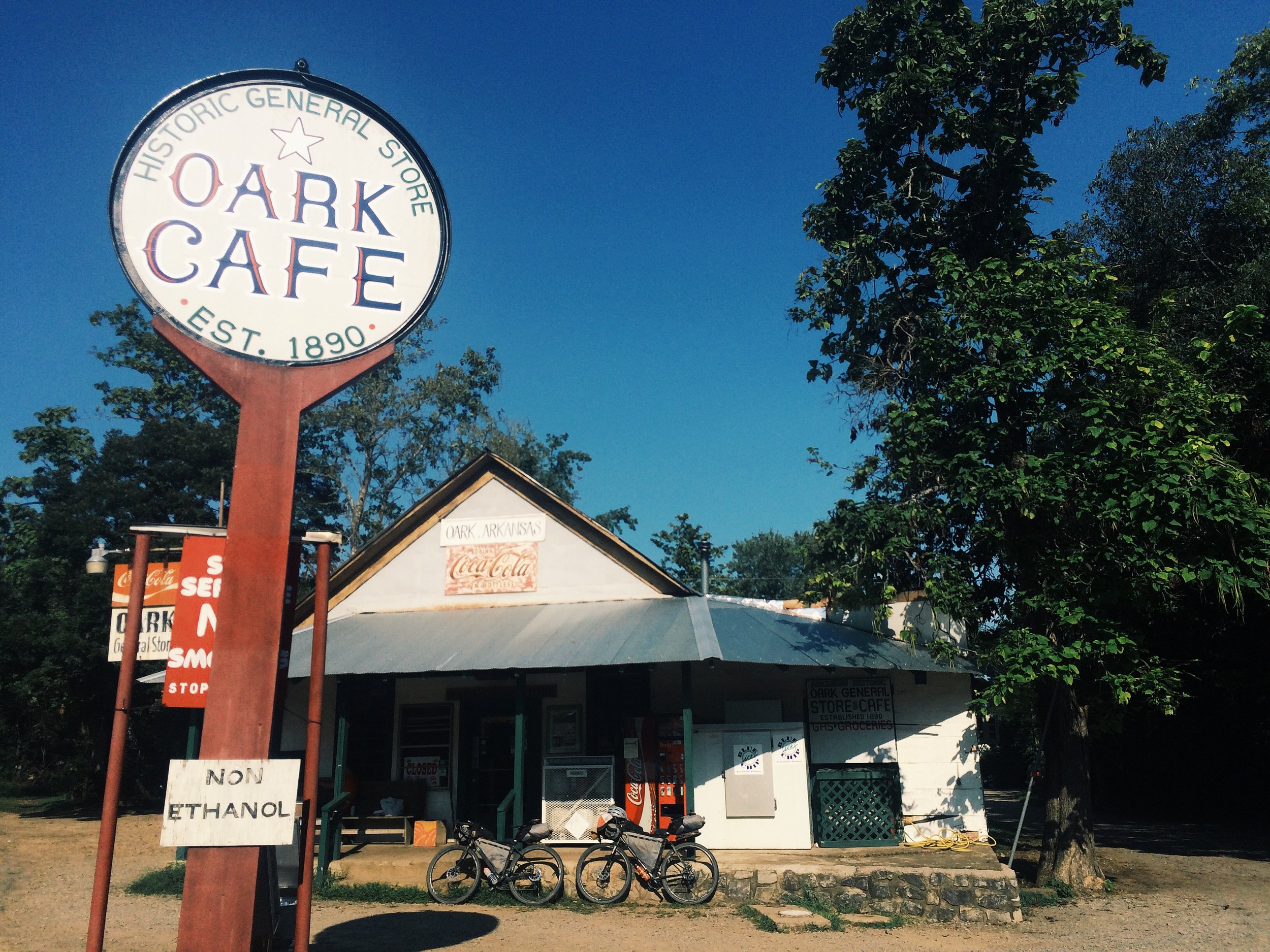
Apart from the stimulation I get from immersing myself along the gravel roads in these beautifully diverse landscapes and ecosystems, my favorite quality of our public lands is the freedom to camp. On my first long, cross-country trip I gained an appreciation for this freedom in Great Smokey National Park and Chattahoochee National Forest in North Carolina and Tennessee, the Ouachita National Forest in the Ozarks of Arkansas, the Rio Grande, San Juan National Forests in Colorado, Manti La Sal National Forest in Utah, the BLM land in Nevada, and the Umpqua and Winema National Forests in Oregon. In all of these places, I took advantage of my legal right to camp freely in nature. The majority of the space between these places is private, protected by frequent bold signs and barbed wire fencing as a reminder.

For people traveling great distances by bicycle, camping is a necessity. When traveling through heavily privatized expanses of land, options are limited to private campgrounds, where you pay three-quarters of the price of a motel to pitch your tent 20 feet away from a motor home, or the generosity of strangers, if you’re so lucky.
The other option is to secretly camp somewhere you are not really supposed to be. To camp in secret is a reality of bicycle touring where a restful time can be a stressful time. Since you are not technically supposed to be there, it’s easy to feel vulnerable and paranoid. Camping in our public lands is so much more enjoyable for the peace of mind that you are allowed to be there. Not only are you permitted to camp, you also have the option to choose the quality of the place you are going to call home for the night. In a free environment you have been able to select, camping is at its best.
As tax paying U.S. citizens, our public lands are one of our greatest privileges. There are 640 million acres of public land and we each own a little piece. That is a whole lot of space to call our backyard. Get out there and enjoy it this Bike Your Park Day, September 30, 2017!

Find Parks Near You

To quickly find parks near you, go to the standard map view on Google Maps and zoom the scale to 100–200 miles. The solid green spaces show everything from city, state, and national parks to state and national forest. To find BLM land, visit blm.gov/visit for a comprehensive BLM recreation map.

Learn More

Read America’s Public Lands Explained and follow @USInterior on Instagram

Read Seven Differences Between State Lands and Public Lands

Read Three Million Acres of Public Lands Are Off the Market — For Now

Gravel Routes To Ride For Bike Your Park Day

Lost Coast, California (75 miles): ridewithgps.com/routes/12307187

Glacier National Park Loop, Montana (114 miles): ridewithgps.com/routes/23004167

Central Oregon Backcountry Explorer (152 miles): ridewithgps.com/routes/17232885

Cades Cove Loop, Tennessee (28 miles): hridewithgps.com/routes/6378658

Monongahela Loop, West Virginia (190 miles): ridewithgps.com/routes/6371419

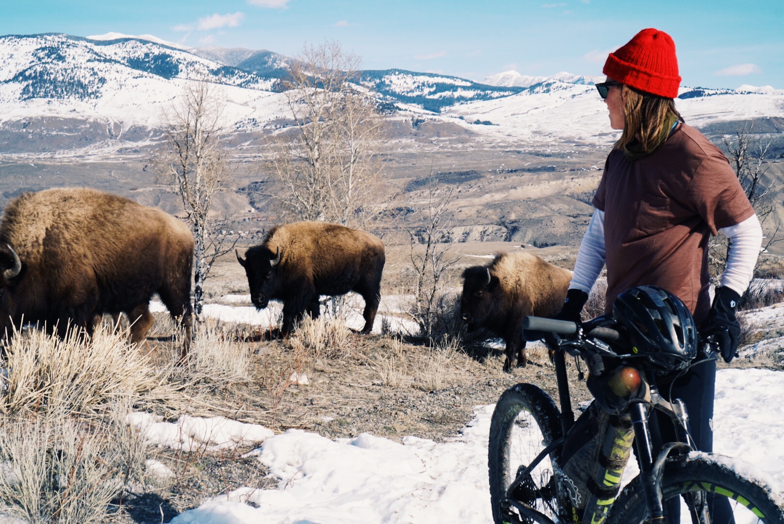
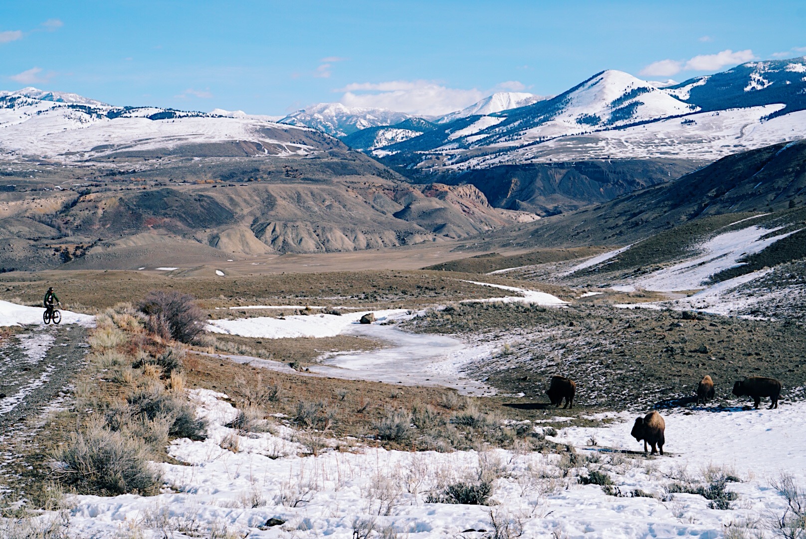
Yellowstone Mammoth Hot Springs Out and- Back (12 miles): ridewithgps.com/routes/23004395

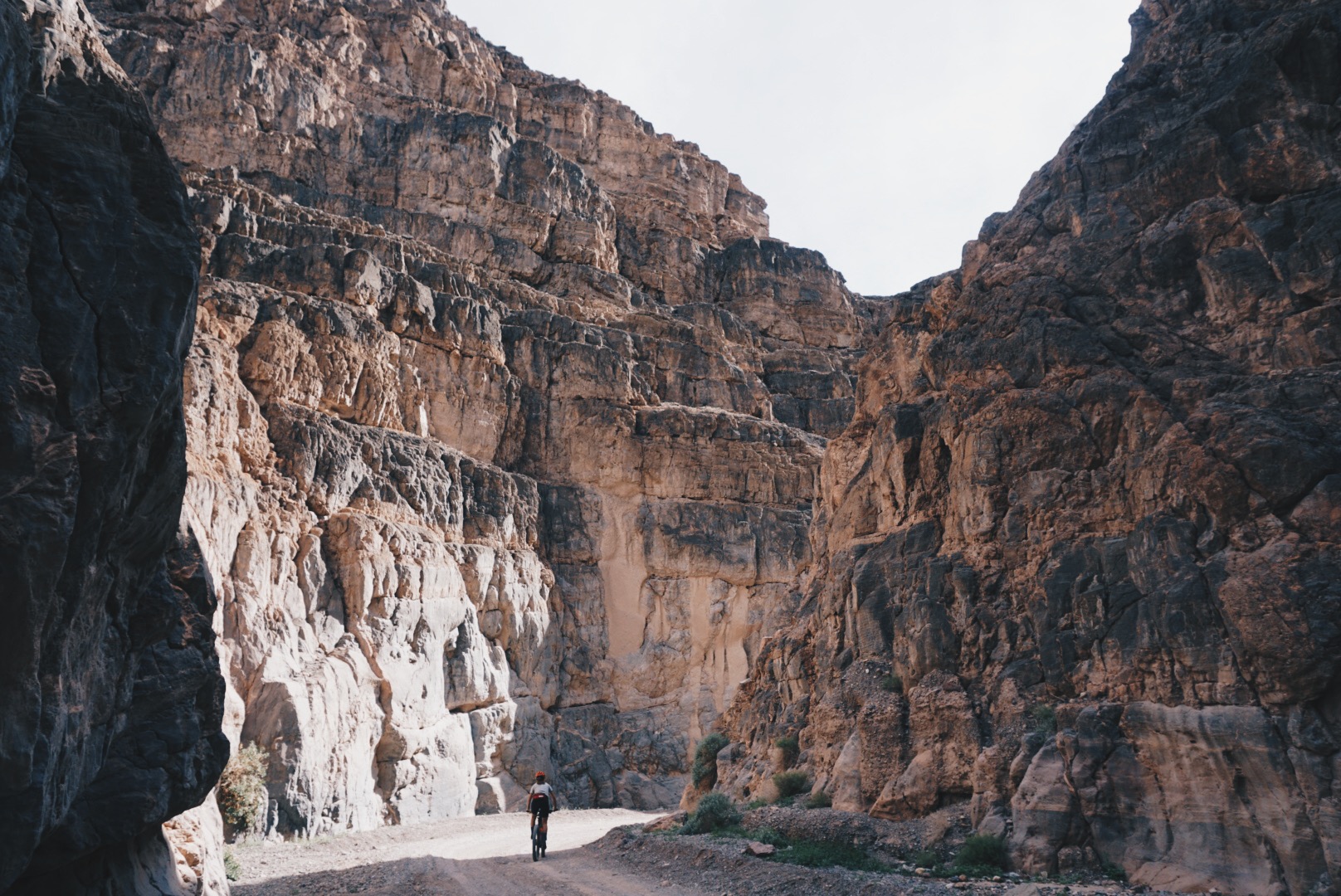
Titus Canyon Road, Nevada/California (53 miles): ridewithgps.com/routes/12427865 

Dispersed Camping

Dispersed camping is the term used by the National Parks Service, National Forest Service, and Bureau of Land Management to describe camping outside a designated campground. Dispersed camping means no services. There is no bathroom, no trash removal, no water spigot, no picnic table, or fire pits. Review the Seven Principles to Leave No Trace before choosing your next dispersed camping spot, lnt.org/learn/seven-principles-overview.

The Inaugural Ride

Story for Bunyon Velo Issue No. 07 by Sarah Swallow. Photos by Tom Swallow and Sarah Swallow

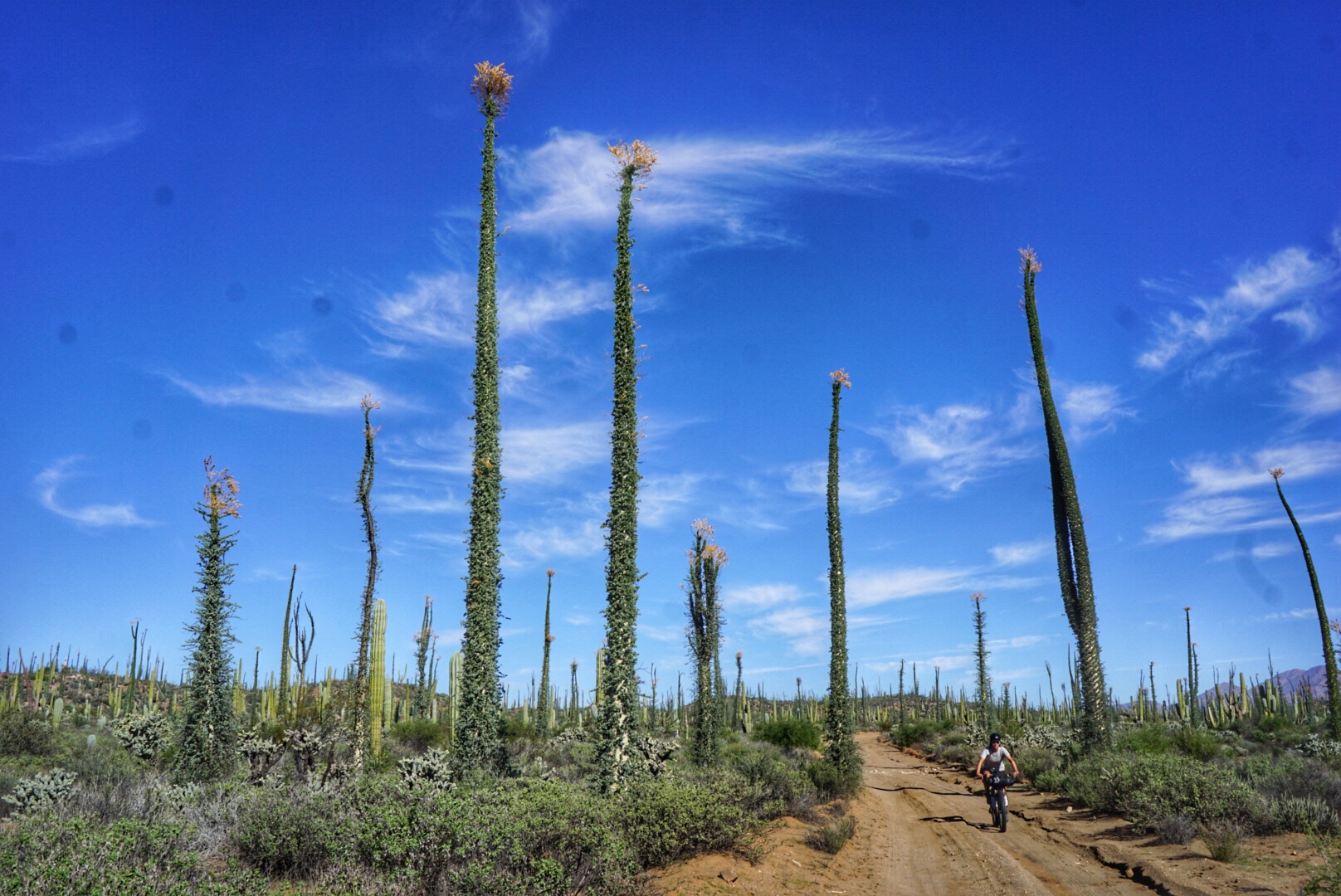
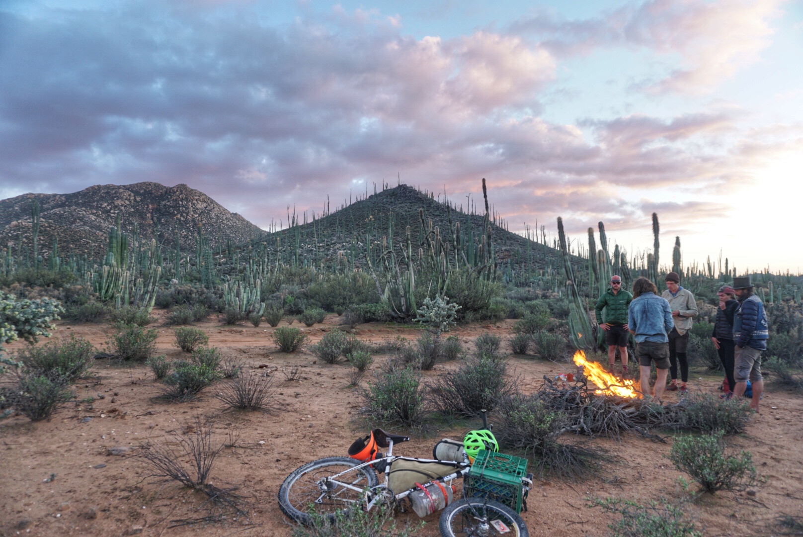
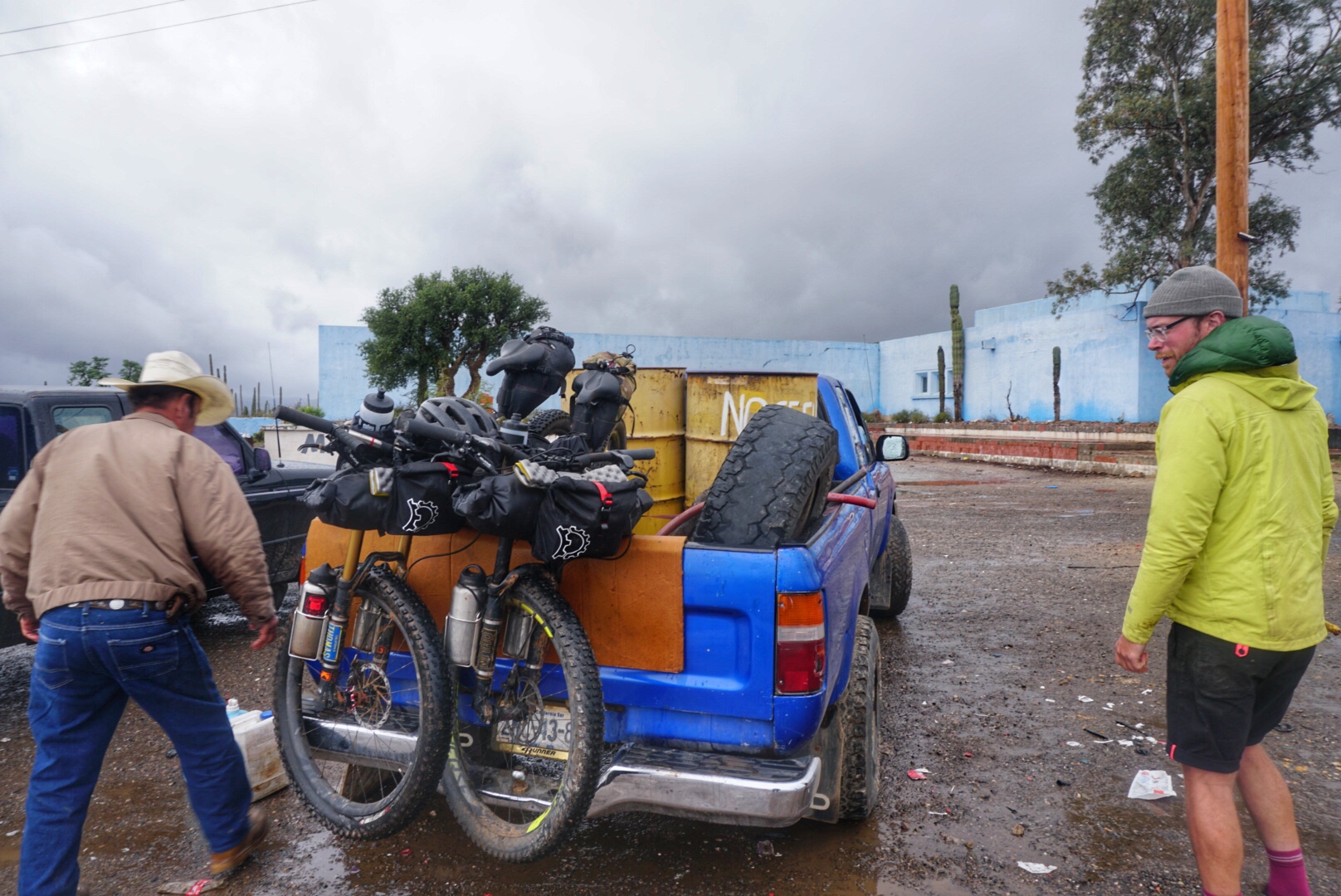
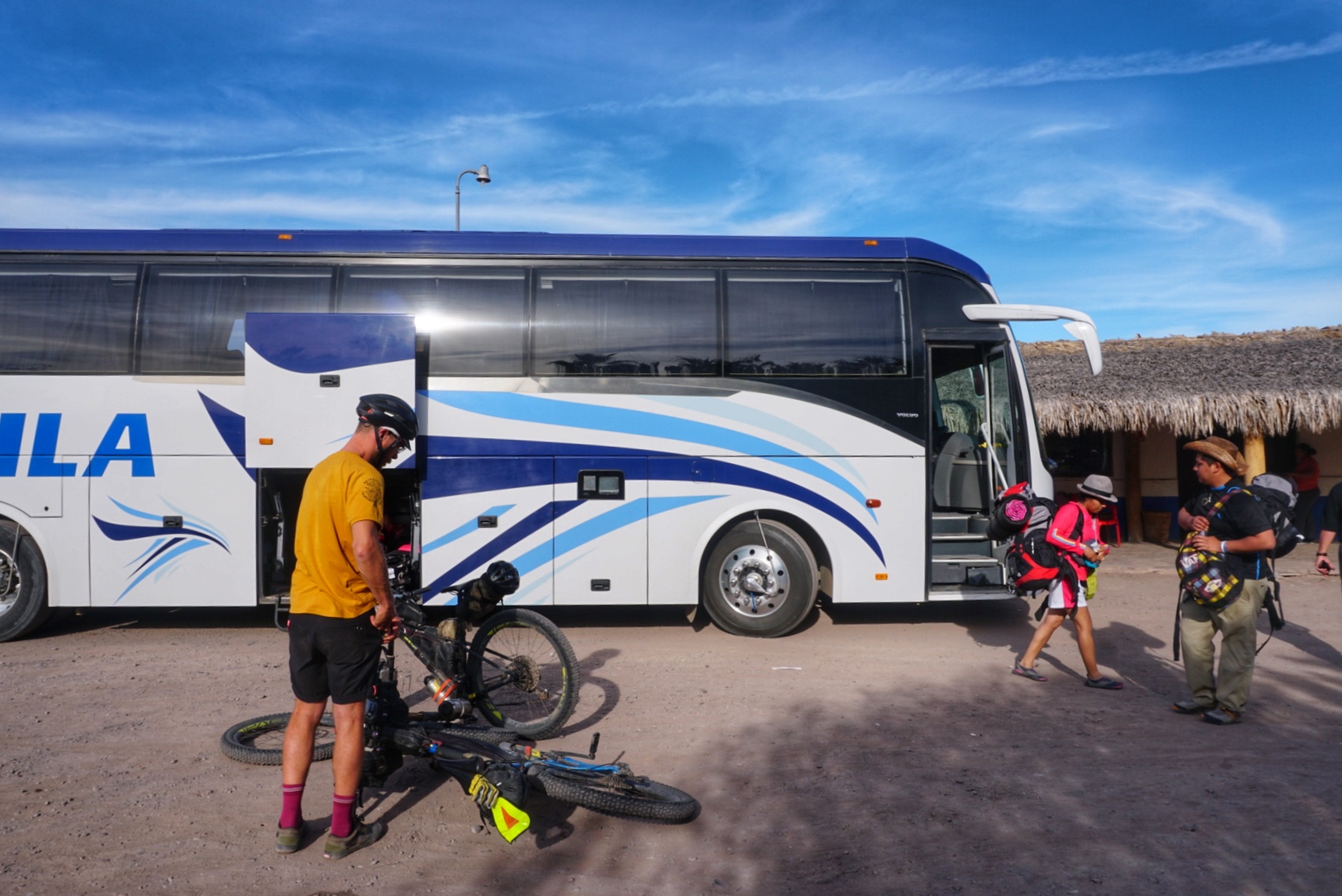
January 2, 2017. Nearly a hundred cyclists gather at Ruocco Park in San Diego for the grand depart of the Baja Divide, a 1,700-mile bikepacking route through the backcountry of Baja California, pioneered by Nicholas Carman and Lael Wilcox during the winter of 2015 and spring of 2016. The Baja Peninsula separates the Pacific Ocean from the Gulf of California and the Sea of Cortez by a series of mountain ranges and several distinct ecological regions, making the terrain and scenery very diverse. The route zig-zags down the Baja Peninsula, crossing the states of Baja California and Baja California Sur and ending with a loop at the southernmost cape. The route repeatedly intersects Highway 1, making it very easy to take a bus or hitchhike to any other point on the route. The group departure was organized to establish the presence of bicycle travel along the route for years to come. The logistics required to show up at the start are a challenge. The terrain necessitates a fairly purpose-specific bike capable of handling rock-strewn roads through the steep mountains, dry arroyos, and deep sand in the thorny desert. Bikes must be equipped with food and water storage for 160- to 225-mile stretches with no substantial resupply or water options, encouraging minimalism in shelter, clothing, and non-essential amenities. Weather is a worthy source of fear. Roads can be dry and fast one day and impassable the next, forcing riders to choose between staying put or pushing on through tough conditions. Cyclists likely have to be self-employed, unemployed, seasonal, or taking leave to have the time required to make it through the route. At a 25-50 mile per day average pace, the route takes about 1-2 months, although a motivated rider could shave some time off. Lael Wilcox holds the fastest known time at a blistering 11 days, 13 hours.

The inaugural ride of the Baja Divide is not a competition. The amount of time each cyclist can spare determines much of the rider’s trajectory. Some choose to make haste, riding every mile for 1,700 miles with the goal of getting to the end before their allotted time is up. Others take it slow to soak it all in. Some make it and some don’t. Some hitchhike, some bus, and some take a boat.
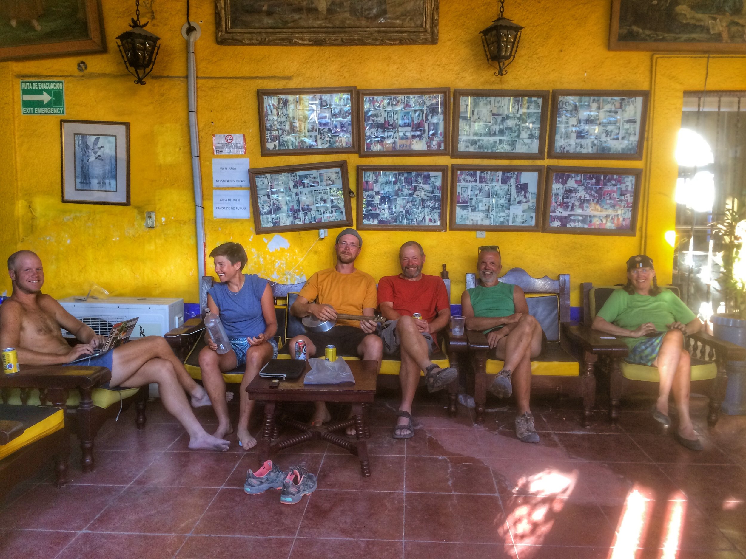
From nearly 100 riders, we break down to a big group of 30. Between our luck, weather, and susceptibility to communicable diseases, the unpredictable is inevitable. Entropy ensues. After two weeks we’re down to 14. After a third week we’re just six. Then, we’re two, but a quick bus ride changes everything. We see people we haven’t seen since the start. We ride together, then we ride alone. Priorities, pace, and lifestyle dictate the longevity of our little riding groups. We gather in big towns to rest, use wifi, eat, repair, and explore together.

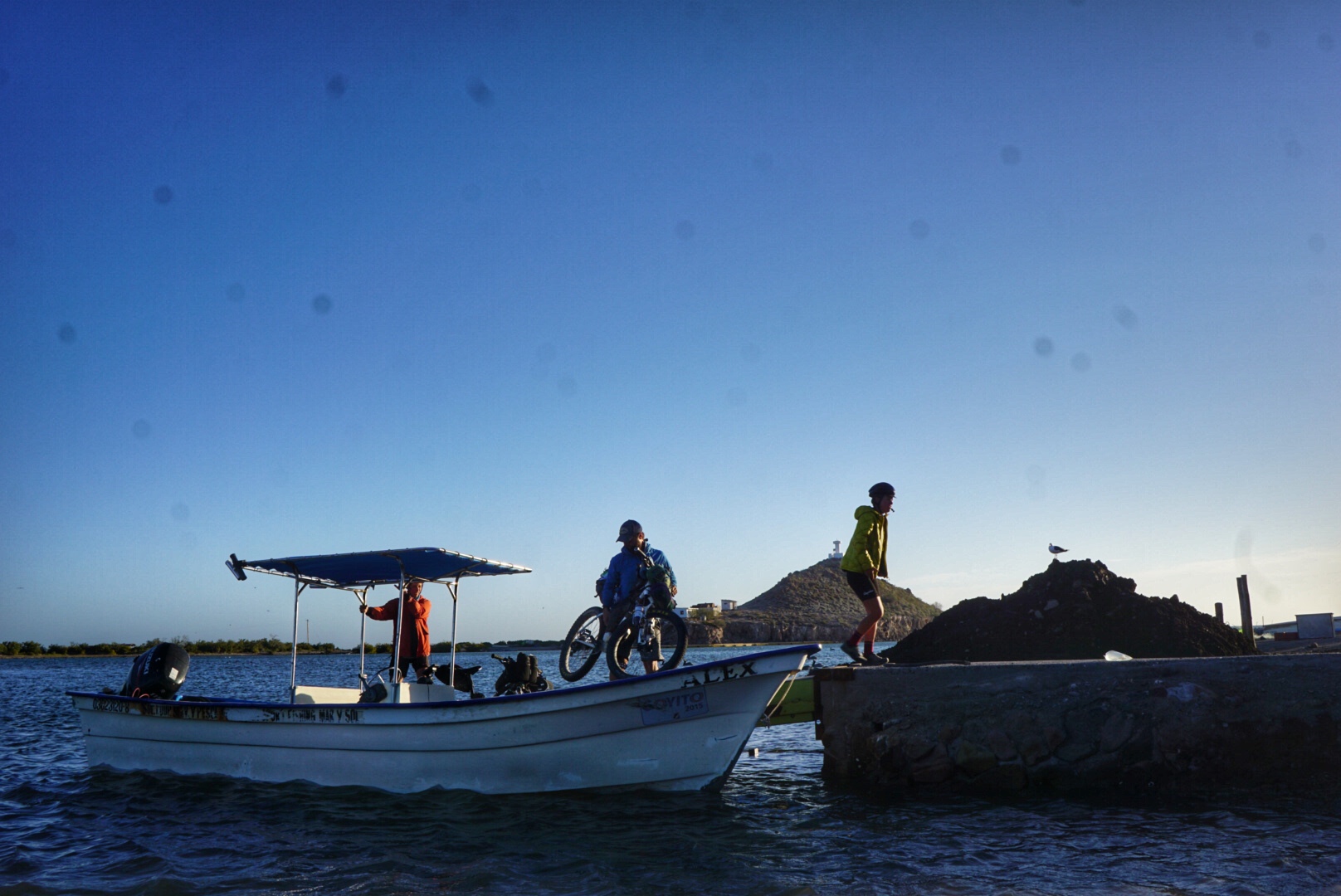
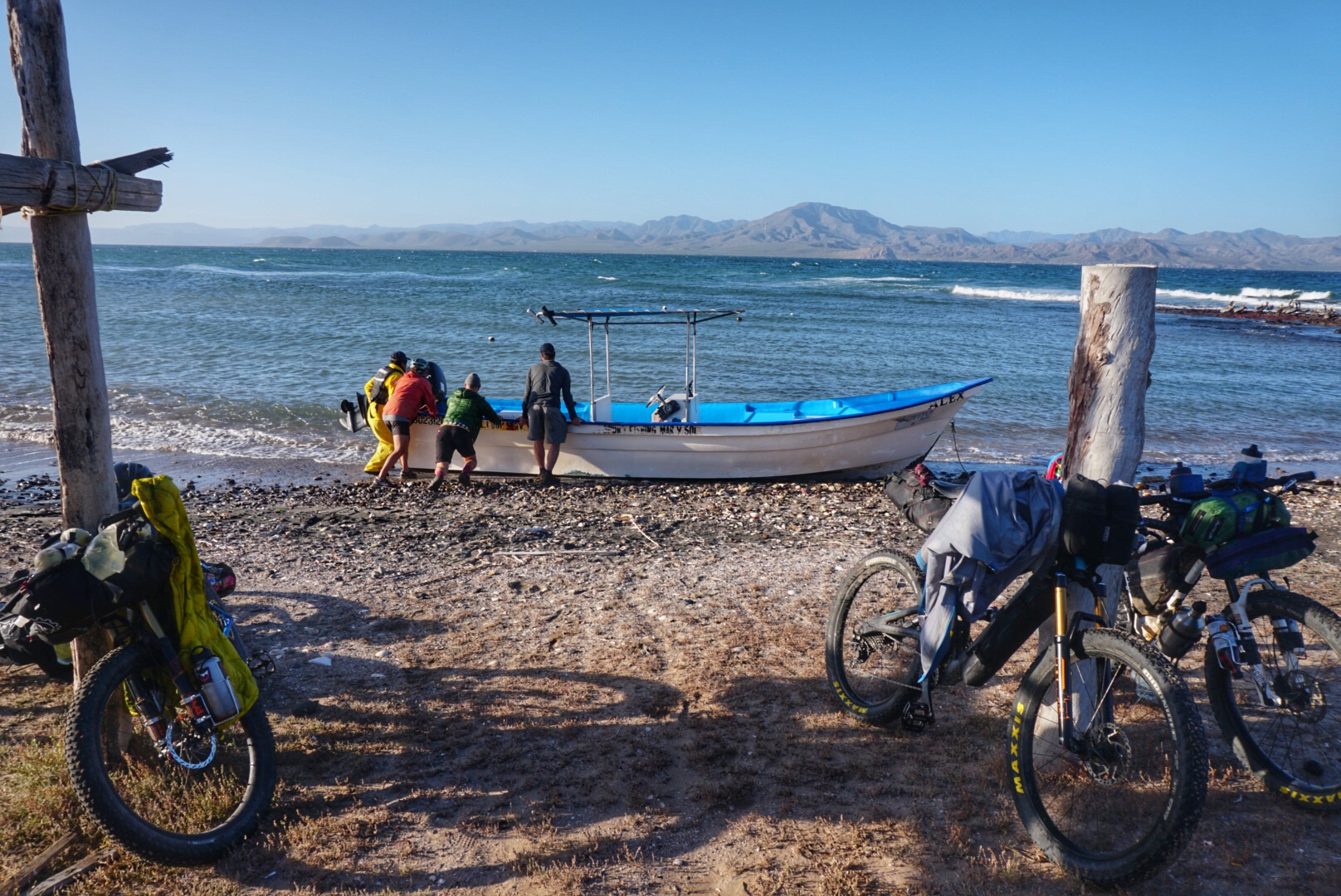
We’re trying to catch a ride on a local fisherman’s panga boat to gain passage to Los Hornitos, a remote peninsula on the other side of the Bahía de Concepción. Finding a ride has proven to be more difficult than we expected. High winds are causing dangerous water conditions, and most of the local fisherman are hunkered down until the conditions improve. After three days we are eager to move on. We roam the streets of Mulegé in search of a fisherman willing to take on the passage. Finally, we meet Francisco in the town square, and he agrees to take us across the bay the following morning during a small window of opportunity when the wind and water conditions will be less dangerous.

Our friends Joe and Leia have also arranged a boat, and a group consisting of Rafa, Justin, and Ryan want to squeeze in where they can. Colleen and Brett are also in town, but foreseeing an eventful boat ride, they opt for the paved alternative out of town. We pack our bikes the night before in anticipation of our boat trip and the next 225 miles of riding with limited resupply. Those of us going to Los Hornitos make plans as a group to meet and ride to the fisherman’s beach together to ensure everybody has a ride, but Rafa, Justin, and Ryan are still eating breakfast when it’s time to leave. Not wanting to miss our chance to cross the bay, we ride to the beach without them.

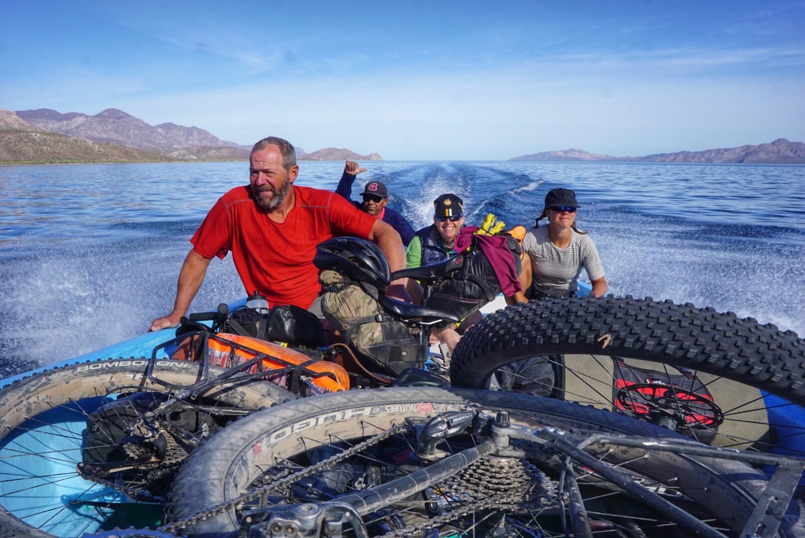
Joe and Leia’s skipper, Alex, is there. His boat is in the water and is ready to launch. Our boatman, Francisco, is nowhere to be seen, and neither are Rafa, Justin, or Ryan. A rushed and confusing five minutes later, we find ourselves in Alex’s boat with Joe and Leia. In the madness of cramming his small boat with four mountain bikes heavily loaded with food and water, I don’t take the chance to grab my rain jacket, a decision I questioned after noticing that Alex is dressed head to toe in waterproof skivvies. “For the way back against the current,” he says.

The first few minutes of our boat ride are relatively calm, until we pass the rock jetty of the lighthouse, where we learn just what 20 mph winds feel like in a small, open-hull boat in big water. As four- to six-foot waves come crashing against the boat, Alex pushes the throttle to climb the next set. With every thrust to climb the wave, there’s a release to land on the other side and a consequent thud, jump, and bang of the boat and everything and everyone in it. Wave after wave comes spilling overhead and into the boat, soaking us in salt water. Tense and wide-eyed, we hang on to whatever we can wrap our arms around for what feels like the longest 30 minutes of our lives. The urgency of our skipper and the severity of the conditions that delayed our travel are now obvious to us. We’re so overwhelmed by adrenaline and relief that we could kiss the sand when we land on Los Hornitos. We graciously tip and thank Alex for getting us safely across and push him off to make it back across the bay against the current, which apparently is more dangerous than than the direction from which we came.

We see another boat heading toward the shore just as we begin to navigate our way down the deserted peninsula. It’s Francisco’s boat with Rafa, Justin, and Ryan, heading our way. We regroup and laugh at the confusing and eventful chain of events that got us all here and ride some miles together before separating when the three of them go to visit with a local rancher. By 3 p.m., Tom and I are content to stop for the day and camp beneath a vacant beachside palapa, while Joe and Leia opt to keep pushing forward in search of a hot meal. We spend the night at the beach, looking for clams and mussels to add to our soup and enjoying a driftwood campfire and easy life under the palm frond lean-to.

Over the following days Tom and I ride alone from the gulf coast into the mountains, stopping at small tiendas to replenish our food and water supply with whatever we find. Some stores have juice, chips, and cookies, but no water. Others can make us a meal and replenish our water. We find a bag of chips and a sleeve of cookies at one store and a few cans of tuna at the next, which tops off our food supply as we move along. Tuna becomes less appealing the further we go, and strong cravings for a simple bag of refried beans, fresh vegetables, and tortillas are creeping their way into our psyche.

The heat intensifies with each day, and my Garmin reads 95 degrees. We dive for shade when it’s there. The hills grow steeper and more rocky as we climb into the Giganta Mountains, a system of canyons dotted with freshwater and date palm oases throughout which relics of old missions are the center of tiny communities where people live a simple life. We take time in these places, sitting in the water and cleaning our salty clothes. We’re out of real food and our fatigue is evident. It’s been five days since we left Mulegé when we finally reach the small mission town of San Javier, our last minor resupply for the next 100 miles. Over beers, we deliberate over whether to fill our empty bottles with the only available drinking water in town, 24 individual 12 oz plastic bottles. San Javier is a popular tourist spot, and we linger in conversations with vacationing tourists and indulge in another beer, delaying any decision-making. By the time we peel off, it’s the heat of the day, and the prospect of riding another 27 miles of off-route pavement to the coastal town of Loreto for some real food, culture, and a shower sounds good to us. What we assumed would be a 27-mile descent to town is in reality a roller coaster of steep, hot tarmac that forces us to dig deep for the “easy” way.

Loreto is a whole new environment, a low-key coastal mission town surrounded by comfortable middle class Mexican life. We spend less than 24 hours eating, exploring, and resting up before catching a bus back to the next town on the route, Ciudad Constitución. A day later we’re back on route and in the middle of the desert, headed to La Paz along another long, tough stretch between resupply opportunities. The steep and rocky terrain continues to challenge our tired bodies, while the heat demands a slow pace and many siestas in the shade. During one of these siestas a shepherd joins us, offers us a cigarette, and boasts of the strawberry ice cream and beer that could be found in the small fishing village of San Everisto, slightly off route. The detour sounds worth the reward, considering our diminishing water and food supply. Tired and desperate to make it to town before total darkness, we make the final climb into town just as the sun drops behind the mountains, casting a shadow over the coast of the Sea of Cortez. To our disappointment, we find that the only tienda in town has no water and mostly candy, cigarettes, and potatoes for sale. Are we in the right place? Where’s the ice cream? Where’s the beer?!

We leave the shop without purchasing anything, and just as our patience starts to diminish, we see two people waving at us from across the beach. We’re shocked to see Colleen and Brett, who we haven’t seen since they opted for the paved alternative out of Mulegé. They had taken a day off here after struggling through the brutal heat and terrain of the last mountain segment. We catch up at Lupe and Maggi’s restaurant, where the host has an endless supply of cold beers and fresh fish, and an idyllic spot available to camp on the beach, though the strawberry ice cream remains a mystery lost in translation. We eat, drink, exchange tales of woe, and are merry to be in one another’s company again in such a beautiful setting. Over coffee the next morning, we talk reluctantly about the washboard roads and steep hills of the route’s next segment. Colleen and Brett had ridden a significant portion of it, but had to turn back to San Everisto when they realized they needed the resupply. Sensing our mood about the ride ahead, Lupe enthusiastically offers to take us in his boat to our next waypoint, Punta Coyote. Within an hour we’ve launched on the second panga boat ride of our tour. The shortcut saves the day, not just 17 lumpy miles, unexpectedly turning a temporary low to a euphoric high point of our Baja Divide experience. In this case it was a calm boat ride, showcasing pastel ribbons in the sandstone cliffs along the shore, with energetic dolphins guiding our way.

On the Baja Divide you may get stuck in the mud, you may have to hitchhike, or you could come close to falling off a panga boat. A coyote could steal your sunglasses, a skunk could bite you in your sleep, and you could get diarrhea for 10 days in the desert. You could also swim with whale sharks, snorkel with exotic fish, witness bioluminescent algae, or live on your own private beach for a while. Your bike could get stolen, but you might even get it back. There are as many unique Baja Divide stories as there are individual riders. Come find adventure in Baja, welcome the unexpected, and return to tell your story.


Dirt Republic

The longest off-road route in the United States was designed for motorcycles, making tackling it on bikes even more sporting

Story for Adventure Journal Issue 03 by Sarah Swallow. Photos by Tom Swallow and Sarah Swallow

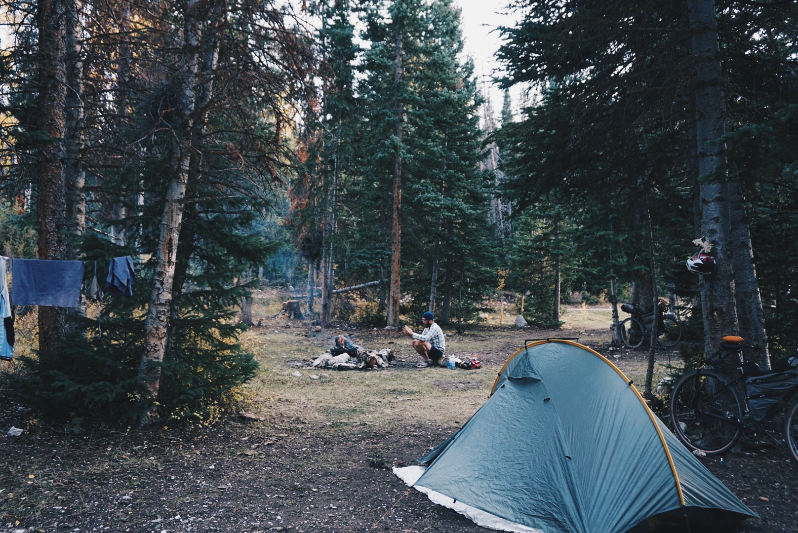
I’m dreaming about home, my cat, and my bed. My down mummy bag is snug around me and everything is warm except my face, which is exposed to the crisp, cold air. I’m toasty, my face is frosty, I can smell coffee, and it’s getting brighter by the minute, which means it’s time to get moving. Soon it will be warm everywhere and we have a big day ahead. There are 70 miles of loose, steep, mountain dirt to cross, with no prospective water sources, and we have to make it to the next town to restock our food. It’ll be the first town in 140 miles and two days. After that, it’s another 140 miles until the next one. How long will that stretch take us? Two days? Three? I don’t want to think about it, so I burrow down, but my husband Tom tugs at the tent door and holds out a cup of coffee and a bowl of apple cinnamon granola cooked in hot water. Looks like it’s the start of another beautiful day on the Trans-America Trail.

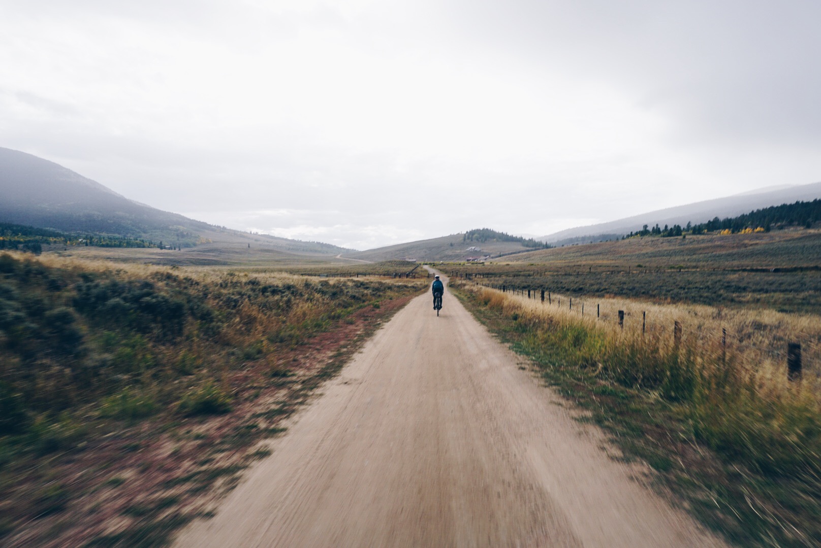
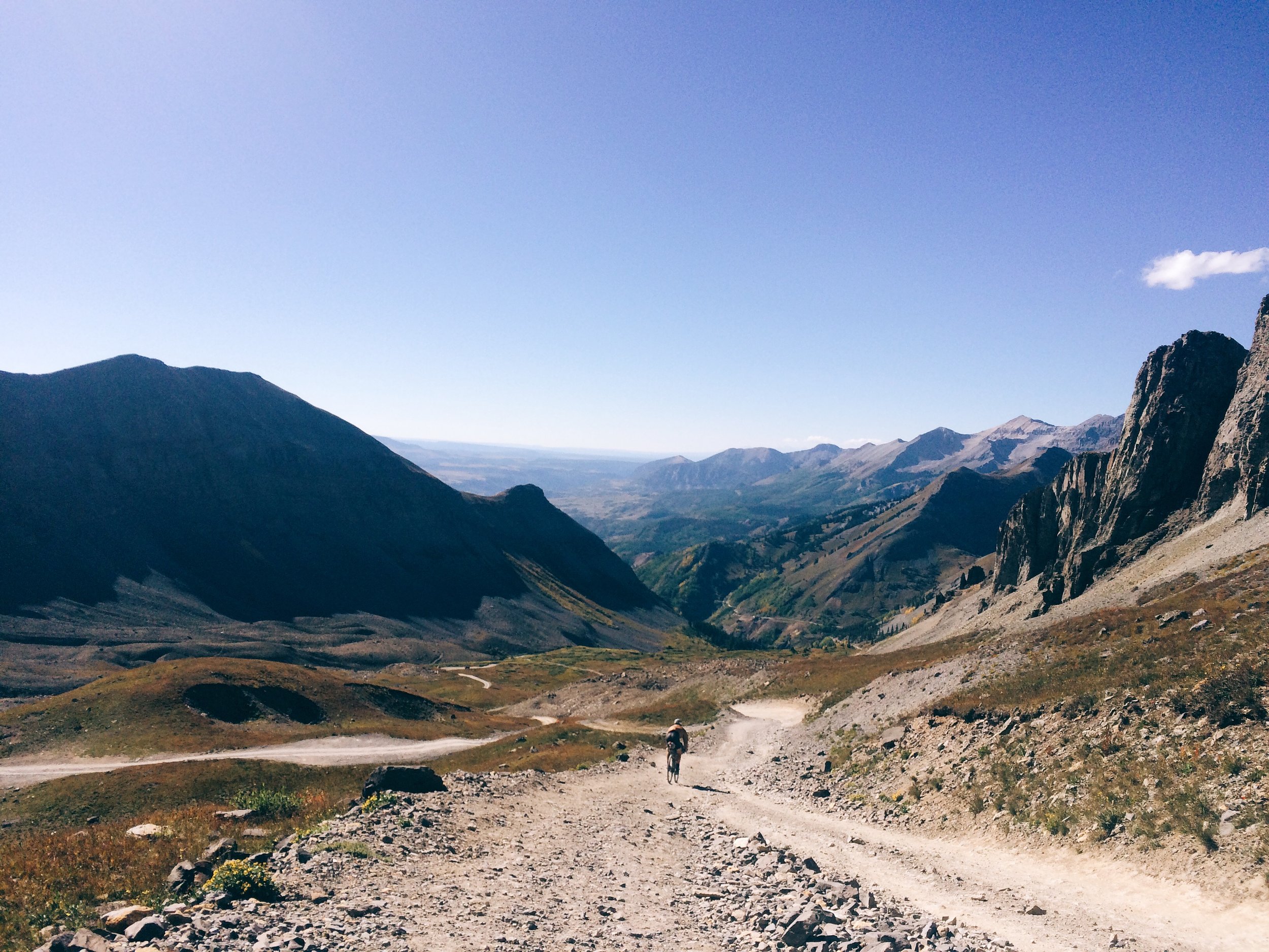
There are plenty of options if you want to cross America on dirt, so long as you’re going north to south or south to north. Hikers have three major routes, the Appalachian, Continental Divide, and Pacific Crest trails, and mountain bikers have the 2,768-mile Great Divide Mountain Bike Route. Going the long way, though, east-west, there’s historically been just one well-traveled path, and it’s covered in pavement—the TransAmerica Trail, developed in 1976 for a group ride called Bikecentennial and promoted since then by the Adventure Cycling Association. There’s another option, though, and it’s all dirt: the Trans-America Trail. That hyphen makes all the difference. The TAT we’re riding is a whopping 5,400 miles of dirt roads, gravel roads, forest roads, and jeep trails. It’s nearly twice as long as the Great Divide and has only a few short stretches of asphalt. But don’t be surprised if you haven’t heard of it. The route was designed by a dual sport motorcycle enthusiast unfamiliar with the cycling route (hence the name overlap), making it popular among the community of adventure riders, overlanders, and ATVers but relatively unknown and seldom considered by bicyclists until just the last year or two, when the boom in bikepacking began to put it on their radar.

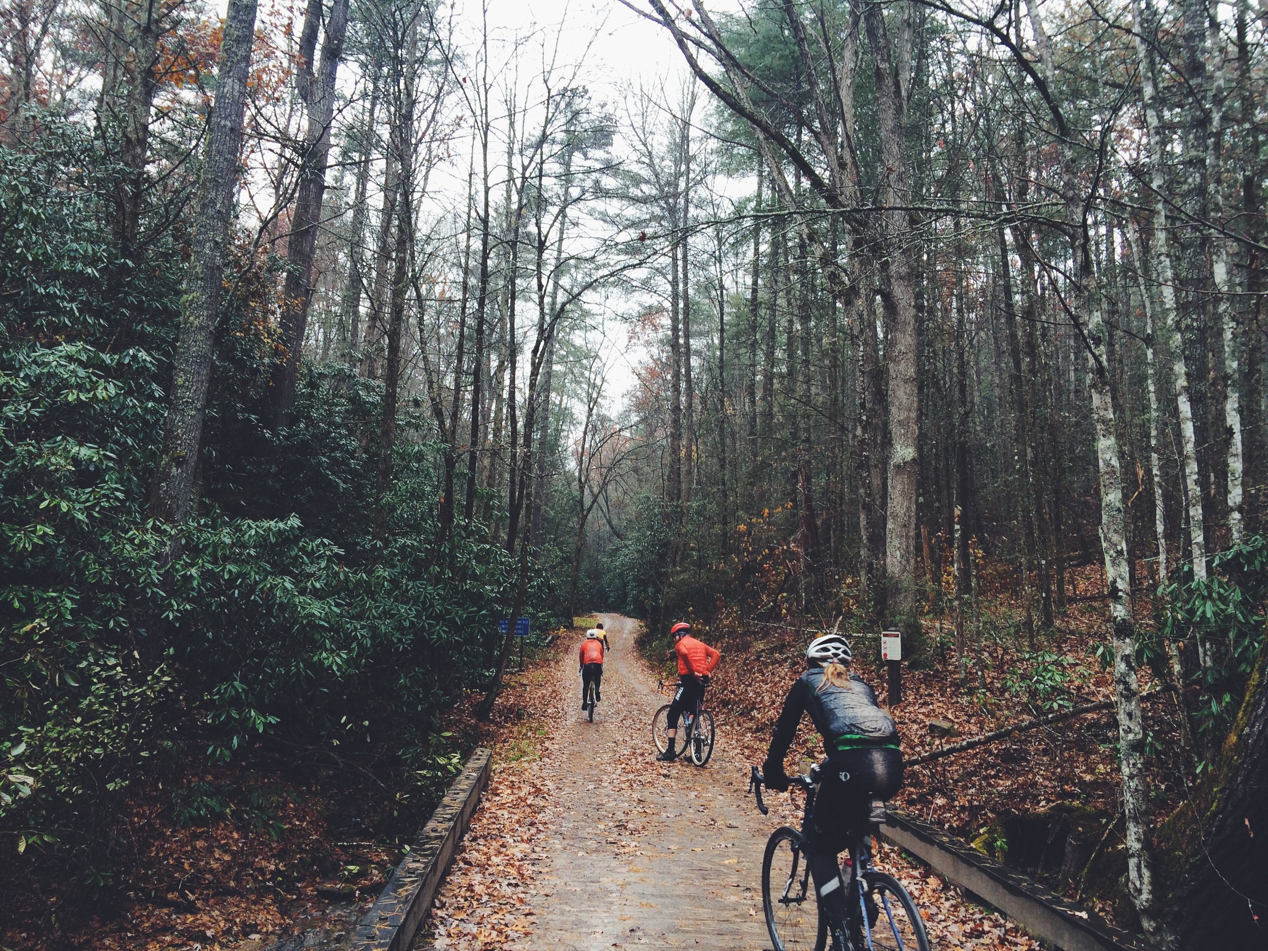
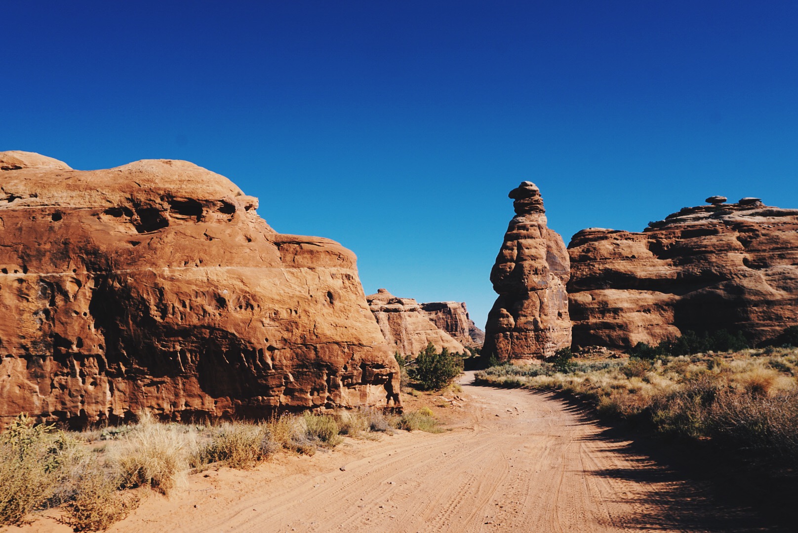
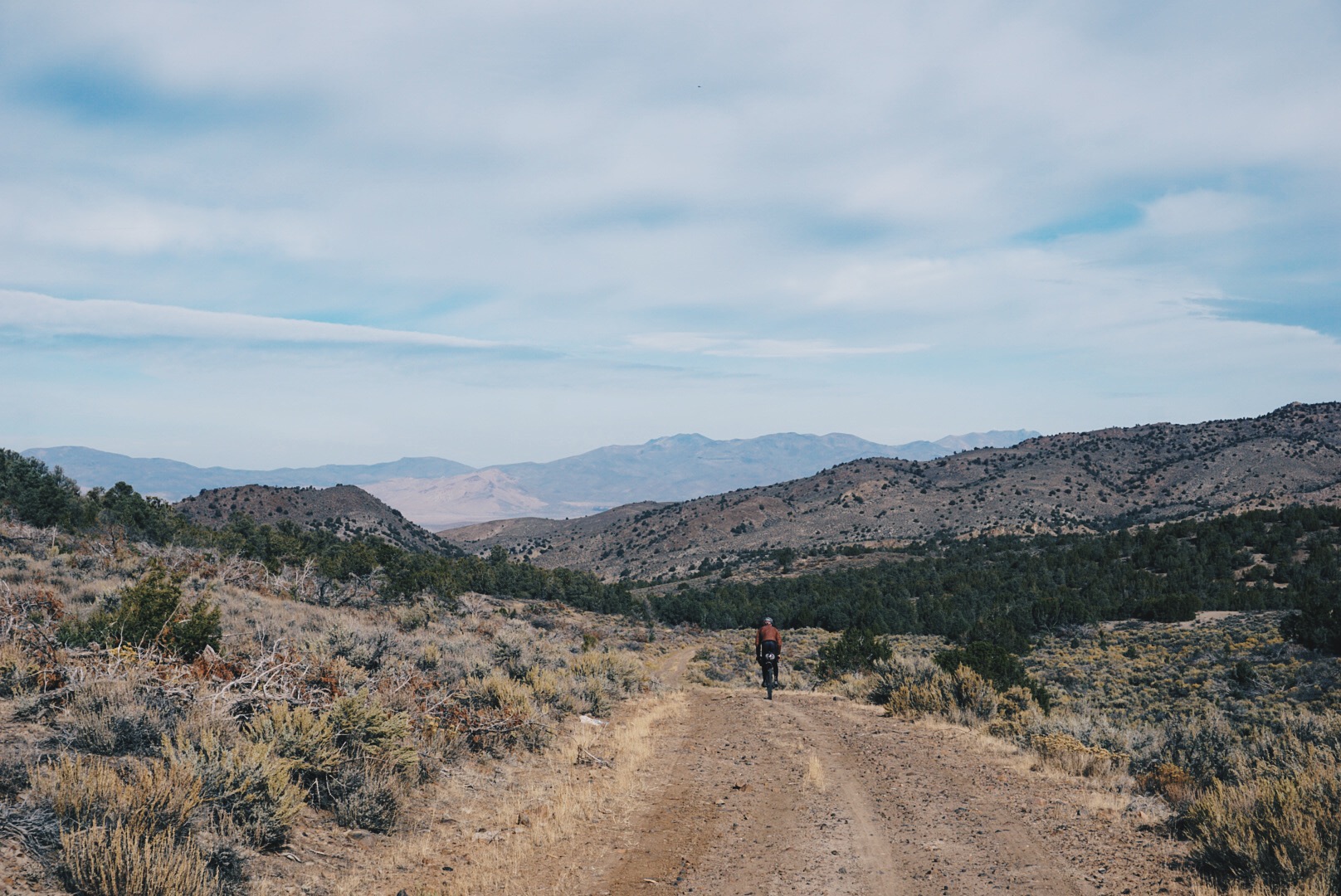
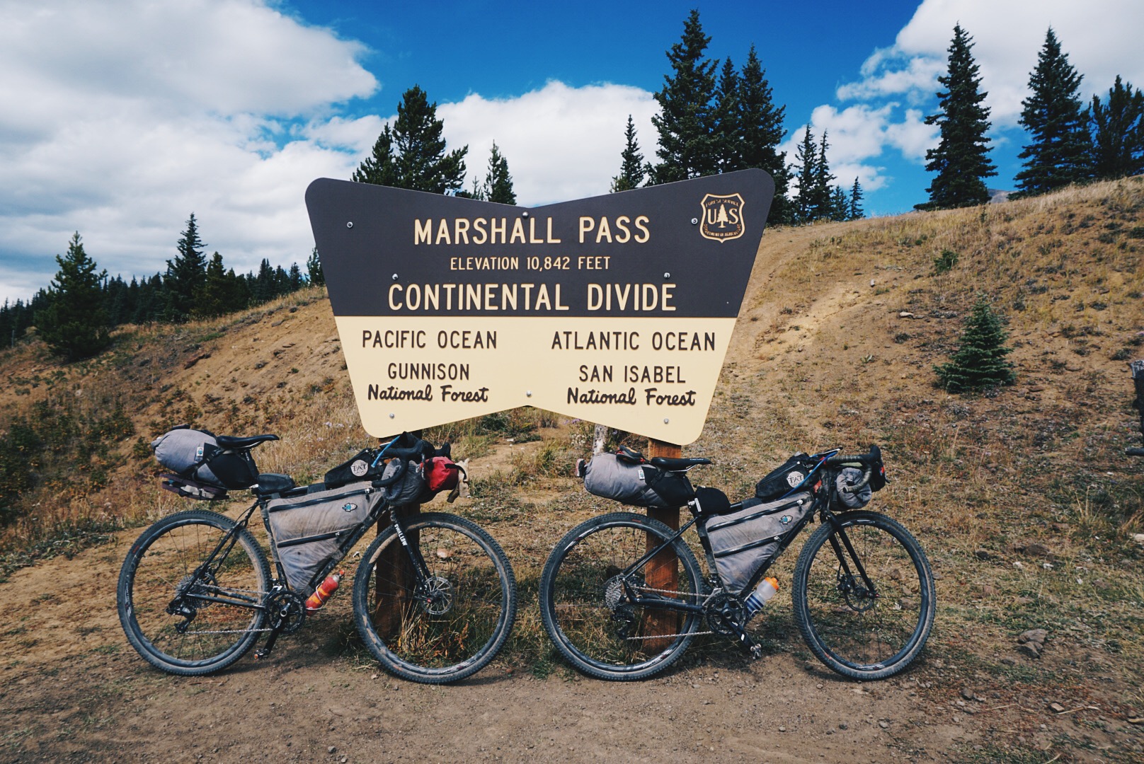
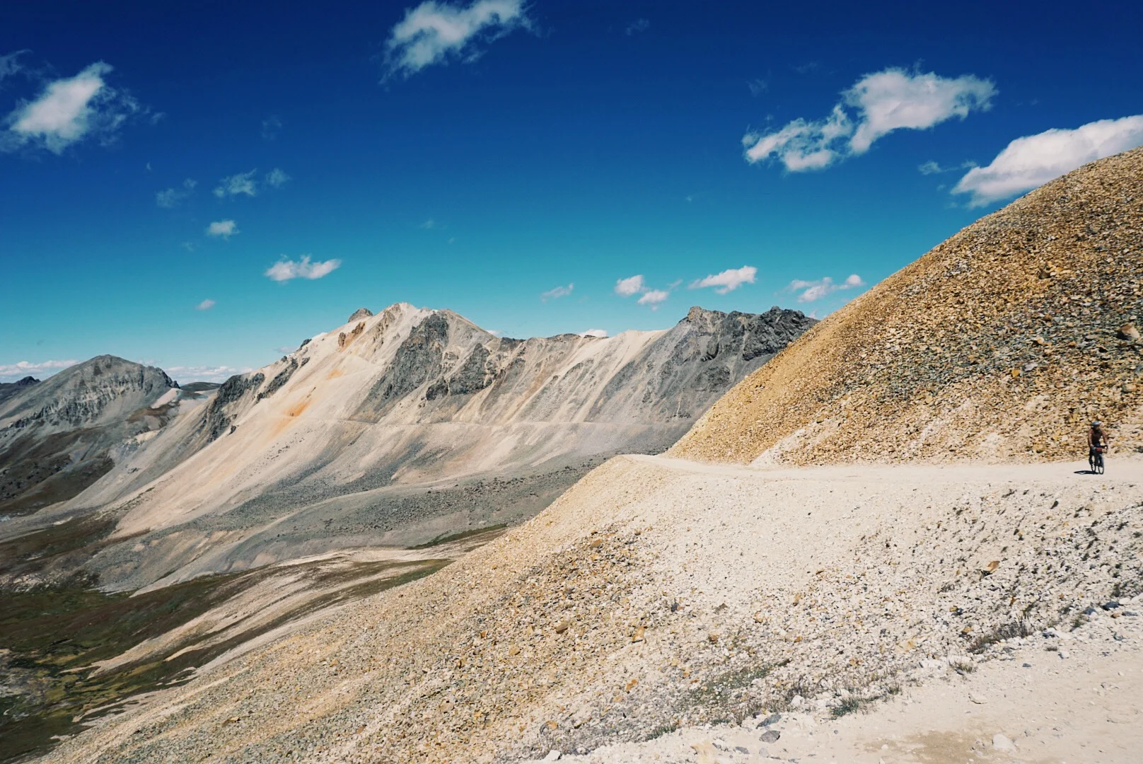
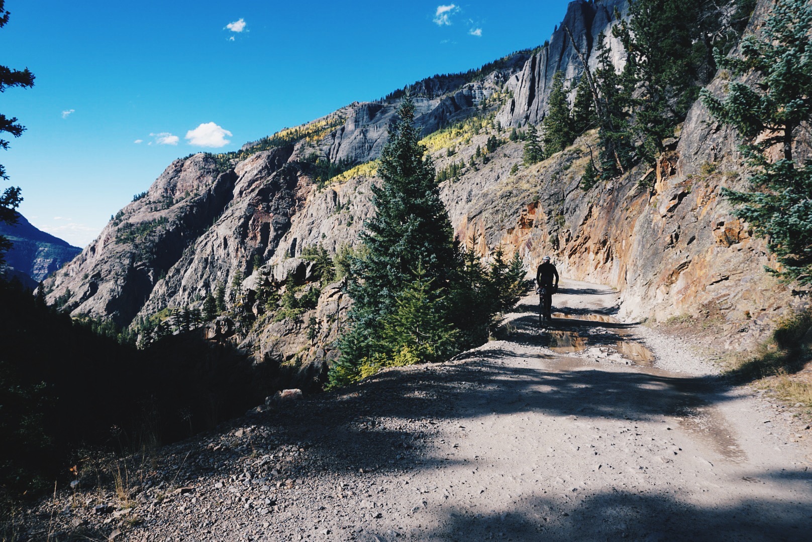
Today the Trans-America Trail begins in the Outer Banks of North Carolina, but it first started in central Mississippi in 1985 when pharmacist Sam Correro was looking for a fun way to get to his cabin. “I had piece of property in Alabama,” he said, “and I thought it would be nice if I could just ride my motorcycle to my weekend house and not get on the damn interstate. So I started that way and got to the Alabama line and the counties there had paved every road they could find. I got discouraged, so I thought, well, I’ll just head the other direction.” He aimed west with no plan to go to the coast, just to keep going as far as dirt would take him. “I got through Arkansas no problem. I got through Oklahoma no problem. I got out the maps and next thing you know, I was at the Pacific Ocean.” The first routing was about 75 percent dirt, 25 percent pavement, but Correro wanted a ride that avoided cities and towns and asphalt altogether, and it took him 14 years to plot today’s route. Because it was designed for motorcycles, he stitched together opportunities for gas, plus food and motels, and planned a typical day to cover 200 miles, making a straight push last 31 or 32 days. The TAT now travels west across coastal Carolina and over the Great Smoky Mountains, then follows the lush, humid river valleys of southern Tennessee and northern Mississippi before crossing the Mississippi River and the rugged Ozark Mountains of Arkansas. There’s a long, gradual climb through Oklahoma and the state’s remote panhandle, then 100 miles through northeast New Mexico before navigating northwest into the Rocky Mountains and over the high alpine passes of the San Juans, the most challenging stretch. Next comes the red rocks of Moab, the high desert of Utah, the Great Basin of Nevada, and eastern Oregon. Following the footsteps of the early pioneers of the California Gold Rush, the TAT finally leaves the desert and drops into the greener land of Surprise Valley, California, and over the Cascade Mountains of Oregon, where the water begins to flow in the creek beds again. It finally comes to an end on Battle Rock Beach in the moody coastal town of Port Orford, Oregon. Cordero, 77, retired a decade ago and has been devoted full time to the TAT ever since. He gets increasing inquiries from cyclists, but they’re still a small portion relative to motorcyclists, which is a shame, because there are few ways to witness America free from the stresses of cars, trucks, and tourists—not to mention the crazy speeds of the interstates. With distances between small towns ranging between 70 to 160 miles, the TAT forces you to be immersed in backcountry living and surviving. The biggest challenge for dual-sport motorcyclists is to haul enough gasoline for the long stretches, but for cyclists it’s finding and carrying enough water. By Oklahoma, the creeks are dry, forcing you to rely on the kindness of people who still live on the land. But that’s a good thing, because it connects you to the small but growing TAT community, which isn’t so different from the trail angels one finds along the triple crown of hiking trails. Correro regularly gets requests from people who live along the route to be added to the TAT’s official map set—many are offering their property for camping and some go well beyond that, with ranchers often making their shops available for welding and other repairs. Tom and I bit off a lot when we committed to the TAT. Prior to this expedition, we’d only done a handful of three- to sevenday bikepacking trips in the Midwest and Southeast. Once we learned about it, we were drawn to the TAT instantly, and from that point it was just a matter of putting our departure date on the calendar and arranging our personal lives to accommodate a three-month hiatus.

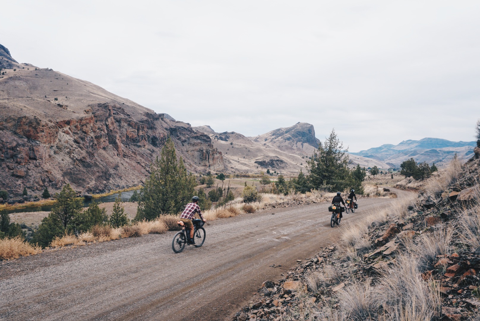
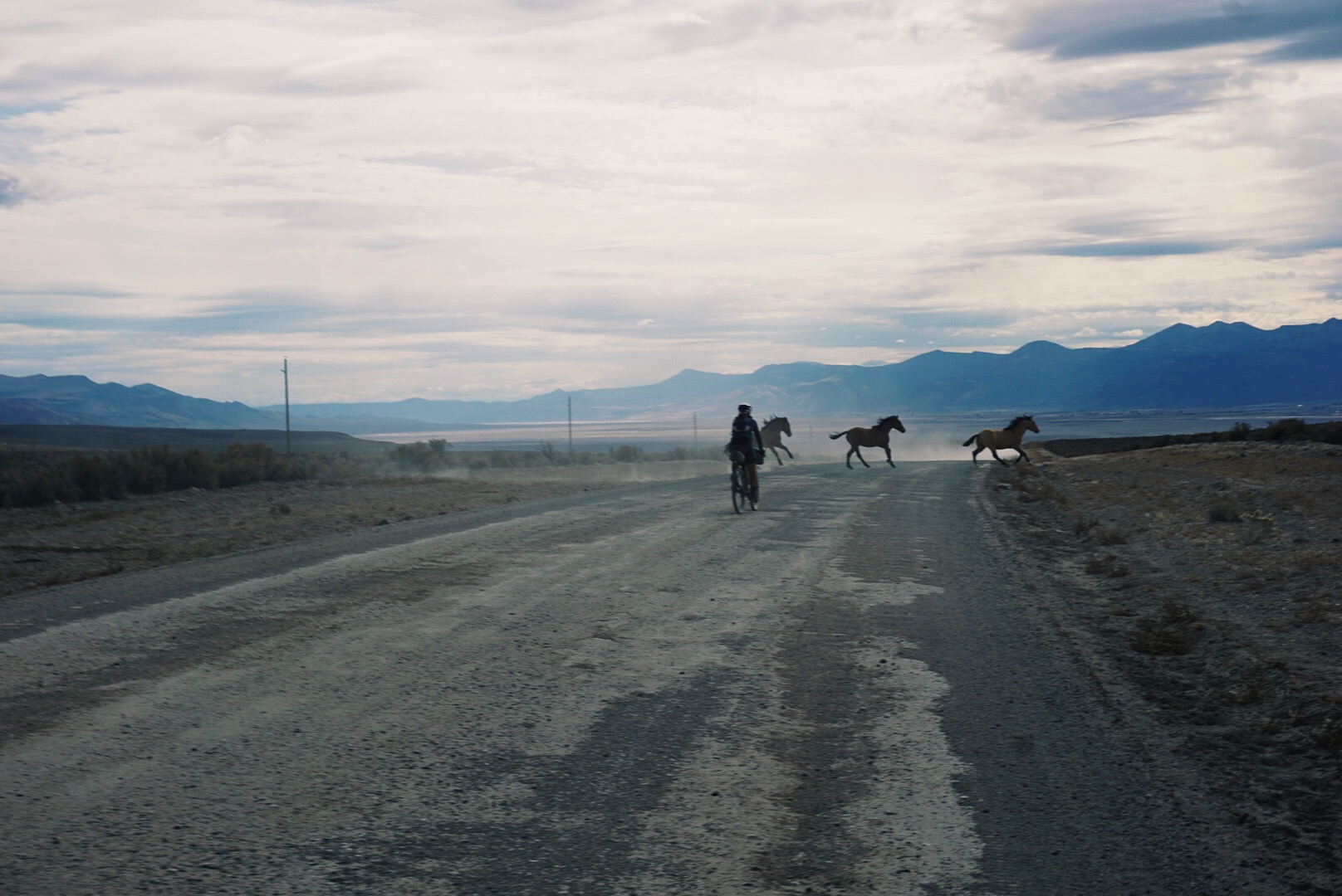
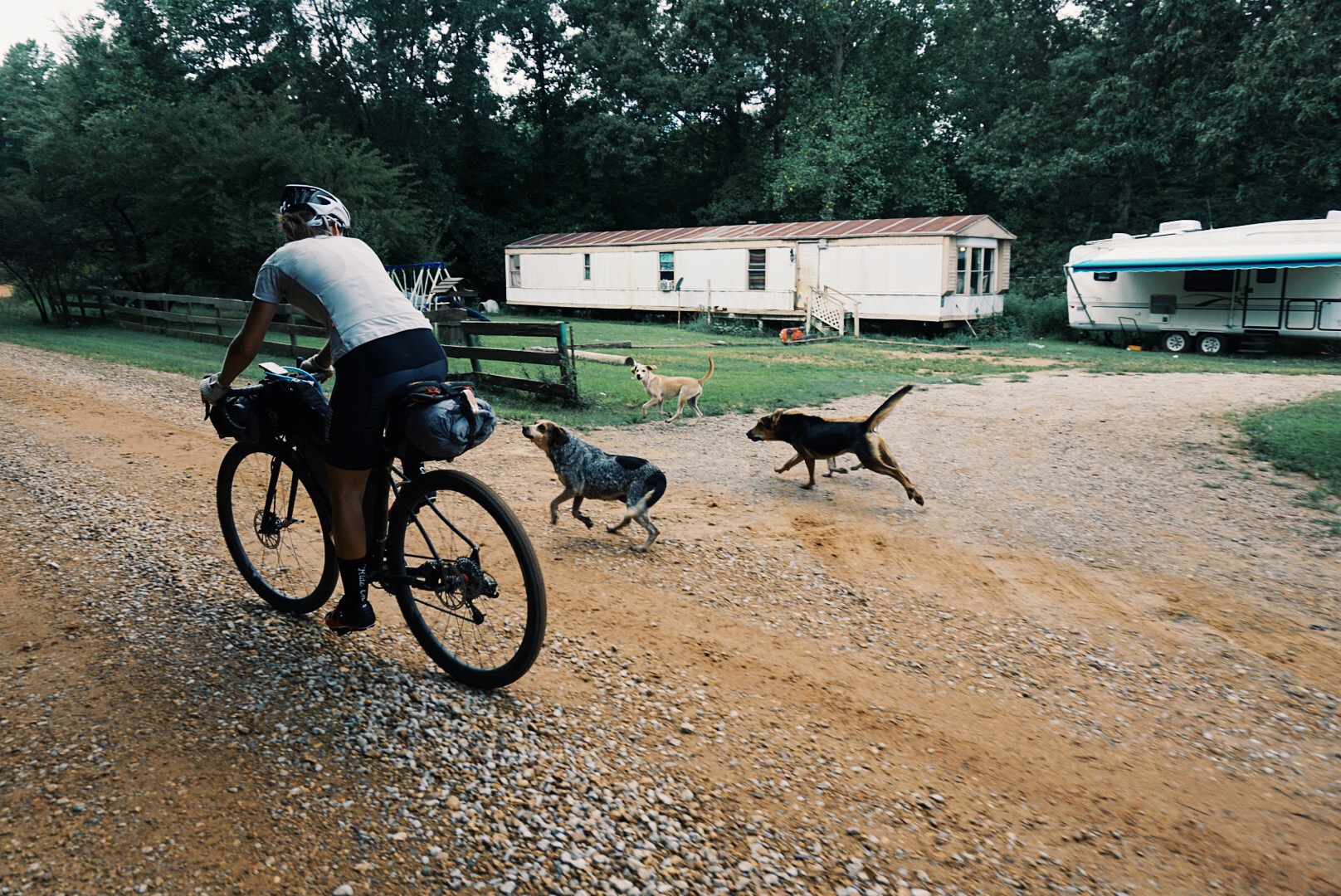
We began August 1. It was hot, awkward, and uncomfortable. As cyclists, we had to figure out our own way, since the TAT was designed for the range and speed of a motorcycle. We ran out of water, got stuck in the mud, hid from thunderstorms, slept with bed bugs, and rode in a crosswind for over 600 miles. We snuck water from private property, pushed our bikes for miles, and sprinted from aggressive dogs. But we were awestruck by the beauty in front of us, food tasted better than it ever had, sleep felt the best ever, and our encounters with humans seemed true and honest. We did hard things and they were good for us. Eventually, we found a rhythm, pace, and ease of living.

We’ve now been on the road for more than two months. I know how far we’ve come, I’ve witnessed it, I’ve lived it, but it still doesn’t feel real. I’m tan, darker than I’ve ever been. I take a sip of water. It has a faint taste of dirt, or does it? Maybe it’s because I know what it looked like before we purified it. I add a packet of instant iced tea powder into my bottle. Better than dirt. I think back to New Mexico and the windmills that made filling up with clean water a joy. Every place should have windmills. Our road takes us through a ranch, where we stop and speak with the owner, who gives us a six-pack of cold Gatorade. We drink two each while talking with him and pack the other two away. He offers us another six-pack, we’re good, so we thank him and make our way down the road. The sky is clear and there are few clouds. The temperature will rise to 90 degrees today. We apply sunscreen to our dusty skin. The temperature reminds me of North Carolina and Oklahoma, but we’ve been lucky with the weather. We avoided snow in the Rockies, and if it rained now the dusty silt would turn sticky-wet like clay. I stop to take a picture. For miles, there’s no person, house, or vehicle in sight. We’re in the Great Basin, and I’m on top of a range looking straight at another range with a basin in the middle. It looks drastically different than what lies just behind us. How is this possible? I’m enchanted. We keep rolling and finally make it to the town. It has a bar and so does my phone. Population 500, Google says. There’s a grocery, a gas station, a restaurant, and a couple motels. We have choices! We make our way to a motel, where I’m greeted by a puzzled look on the face of the clerk. I’m dusty, dirty, and wearing a raccoon sunglasses tan. “We’re riding the Trans-America Trail. Do you ever get folks coming in here on motorbikes?” I ask. “Absolutely,” they say, “but never anyone on a bicycle! You’ve ridden all this way?” It’s the same conversation I’ve had in every motel along the way, and it grounds me in the reality of the trip. We’ve come so far and still have 700 miles to go. But at this point, it doesn’t seem like much at all.

9 THINGS I LEARNED RIDING THE TAT

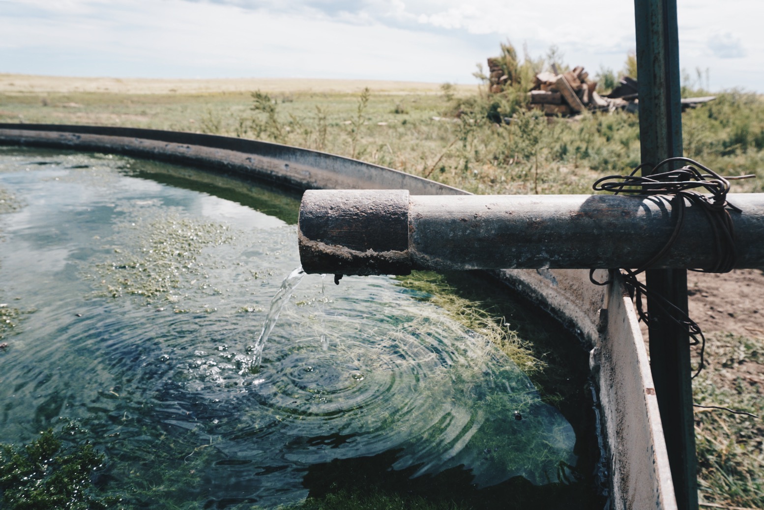
1. Windmills are a great source for water. Even if they don’t appear to be working, venture over. There’s often a quick release to allow the fan to run and soon the water will follow.

2. If an aggressive dog is chasing you, dismount and put your bicycle between you. A person on a bicycle looks like a UFO to dogs—as soon as you stop and stand up, most dogs will get the idea.

3. Longsleeve shirts are a lifestyle, not a fashion statement. Sunscreen only goes so far.

4. Be like a camel. Pre-hydrate and post-hydrate when you have access to water. Carry a minimum of six liters.

5. The best bug repellent is your hand. If a fly or mosquito is bothering you, kill it.

6. Be present. Stop and talk to the locals. There aren’t many of them, and it’ll be worth it for both parties.

7. Plan two to four days at a time. Be flexible. Your expectations and plans will change.

8. It’s okay to walk. The bike is simply an aid to get your person and your stuff from place to place. When the going gets too rough to pedal, walk for a while, let different muscles take over and give others a much-needed break.

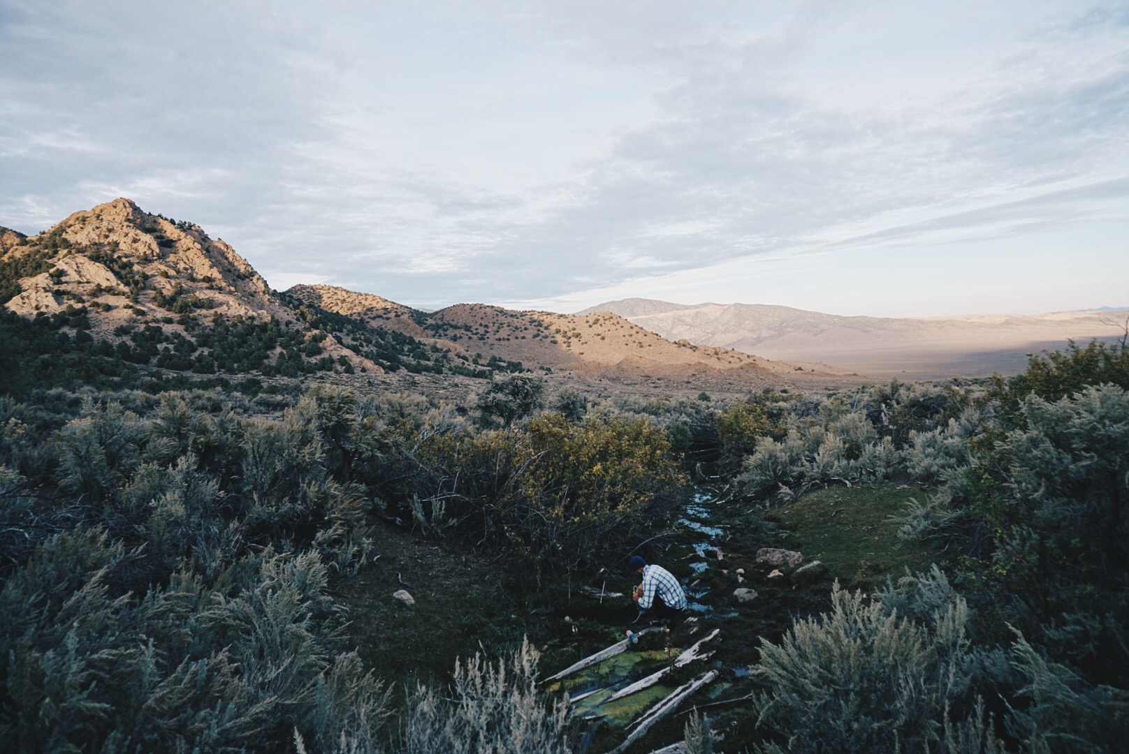
9. Even in the desert, there are natural springs. While traveling through Utah, Nevada, and eastern Oregon, if you see even small patches of green vegetation or old well structures, there’s likely water nearby.

BY THE NUMBERS

3 Flats

7 Worn-out tires

2 Worn-out chains

3 Broken spokes

176 Starbucks Via coffees consumed

1 pair of Rapha bib shorts lost

87 days total

6 days off